Nižný Mirošov
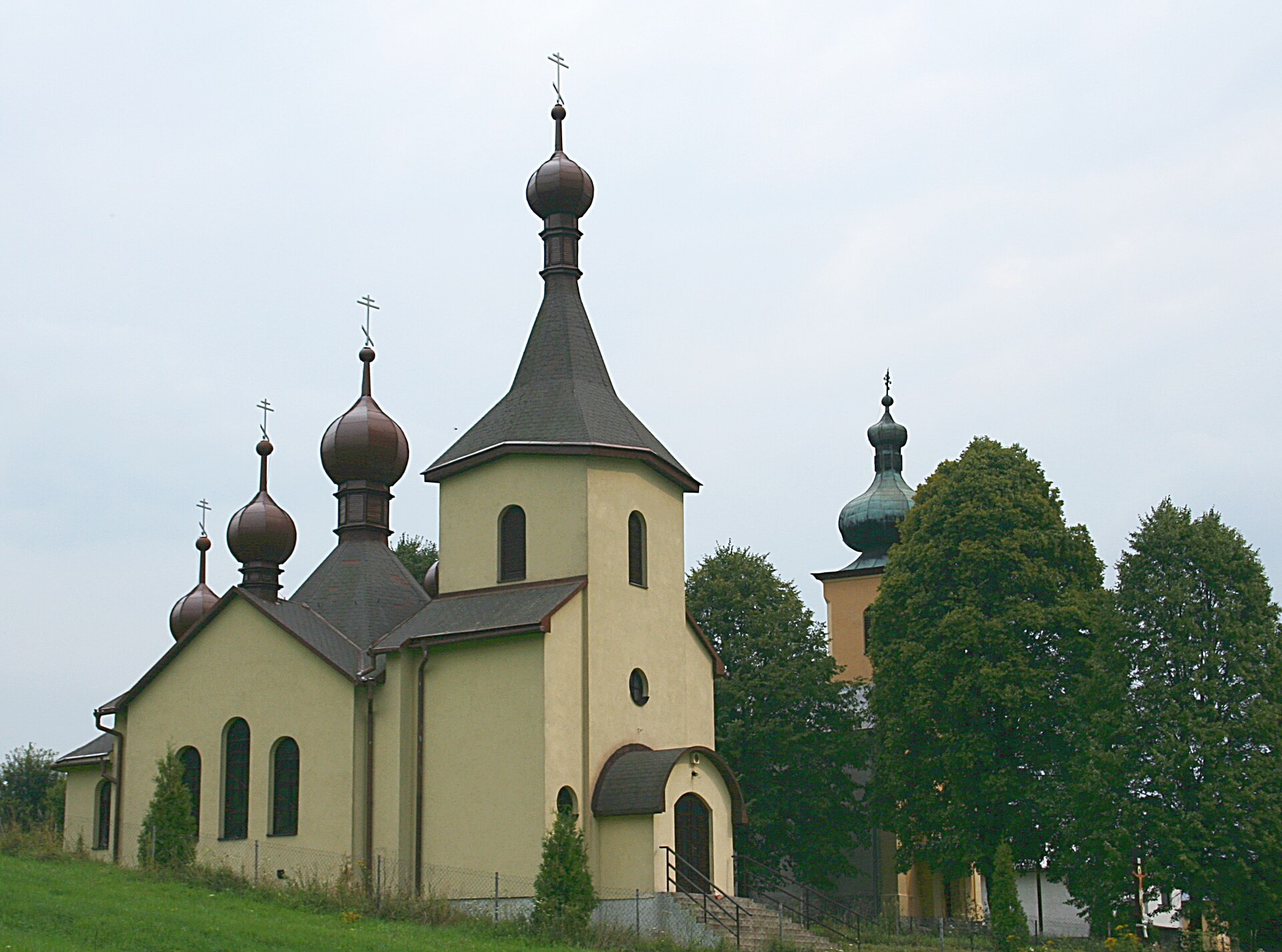
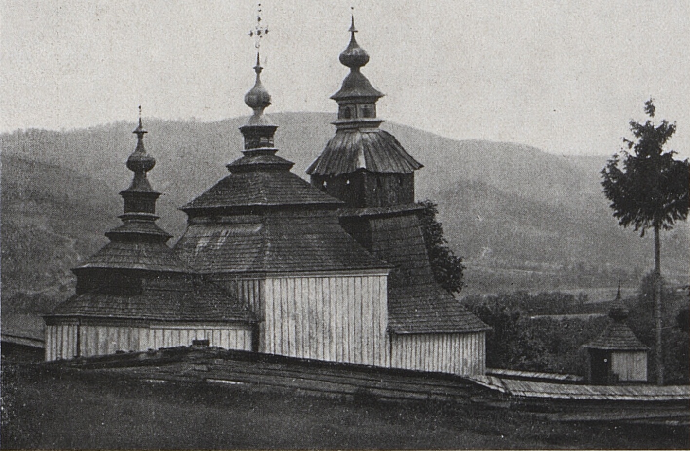
Photos: Przykuta (talk), CC BY-SA 4.0 (Wikimedia Commons); Bohumil Vavroušek, Public domain (Wikimedia Commons); KristianIvanco, CC BY-SA 4.0 (Wikimedia Commons)
Nižný Mirošov is a village in Slovakia.
Elevation: about 302 m above sea level. Population: 263 (2025). Mountains nearby: Eastern Carpathians.
Here and nearby on the site: 1 trail.
Facts: Wikidata, OpenStreetMap. More on Wikipedia
What's nearby
Trails nearby
All trails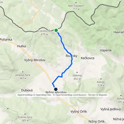 EasyOne-dayMarkedNižný Mirošov Roztocký ForestElevation profile291–635 m7.4 kmascent 26 m≈ 2 h walkingunder 1 km from the centre
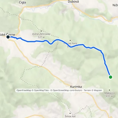 EasyOne-dayMarkedŠarišské Čierne Lazová MeadowElevation profile352–581 m7.3 kmascent 117 m≈ 2 h walking2.7 km from the centre
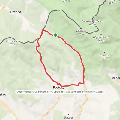 EasyOne-dayMarkedRoztoky loopElevation profile374–621 m9.5 kmascent 252 m≈ 3 h walking3.9 km from the centre
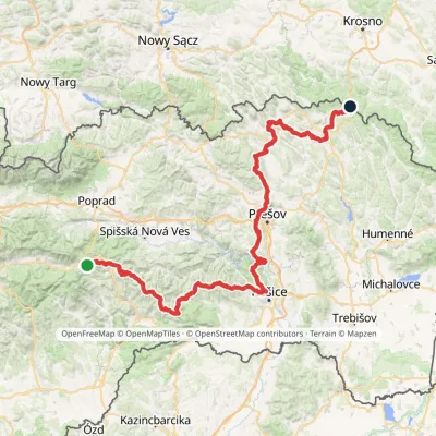 HardMulti-dayMarkedPred Čuntavou Dukliansky PassElevation profile227–1 293 m280.7 kmascent 8 346 m4 km from the centre
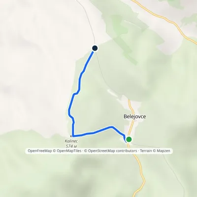 EasyOne-dayMarkedBelejovce ObšarElevation profile444–574 m2.5 kmascent 141 m≈ 60 min walking4.5 km from the centre
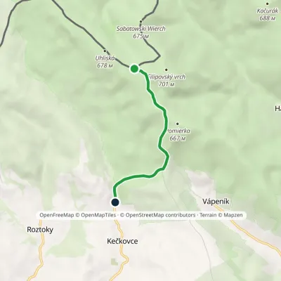 EasyOne-dayMarkedFilipovský vrch KečkovceElevation profile414–684 m3.5 kmascent 19 m≈ 60 min walking4.9 km from the centre
Peaks nearby
All peaks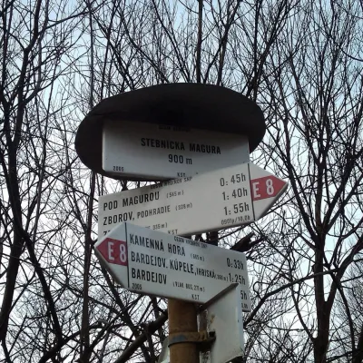
What to visit
All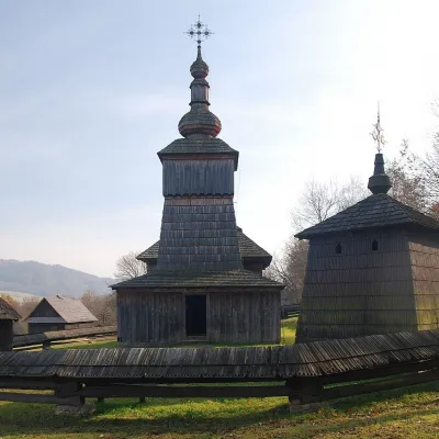 MuseumSvidník Open-Air Museum (Museum of Ukrainian Culture)Svidník8.6 km from the centreThe Ethnographic Open-Air Exhibition (Národopisná expozícia v prírode) in Svidník is the open-air museum of the Museum of Ukrainian Culture, part of the Slovak...
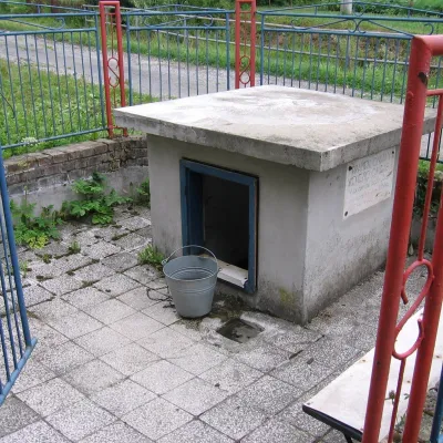 RiverOndava RiverSvidník8.8 km from the centreThe Ondava is a river in eastern Slovakia, the country's eighth-longest. It is 144.4 km long (146 km according to Wikidata) and its basin covers 3,354.7 km².
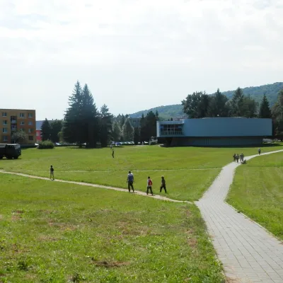 MuseumMilitary History Museum in SvidníkSvidník8.9 km from the centreThe Military History Museum in Svidník (Vojenské historické múzeum – Múzejné oddelenie Svidník) is a branch of the Slovak Military History Museum, which belongs to the...
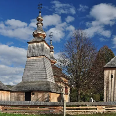 ChurchWooden Church of St Michael the Archangel, LadomirováLadomirová12 km from the centreOn its edge, behind a wooden fence with a little shingle roof, stands the Greek Catholic Church of St Michael the Archangel — one of the architecturally most valuable...
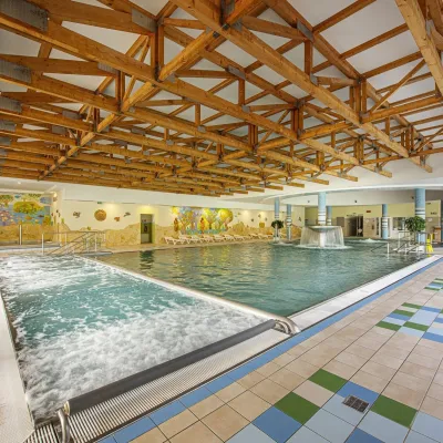 Water parks & thermal poolsBardejovské Kúpele: Wellness Spa Ozón and summer poolBardejov15 km from the centreBardejovské Kúpele is one of Slovakia’s oldest spas, a part of the town of Bardejov about 5 km from its centre, in a valley under the Magura massif that shelters it...
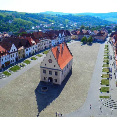 Historic siteBardejov: historic town centre and St Giles’ BasilicaBardejov16 km from the centreBardejov lies in north-eastern Slovakia, in the Šariš region, on the river Topľa not far from the Polish border.
Spas and thermal pools nearby
Huts, shelters and springs nearby
Getting there from Ukraine
Border crossings
- Uzhhorod – Vyšné Nemecké — road, 24/7
- Malyi Bereznyi – Ubľa — road, 24/7 For cars and buses; pedestrians not confirmed by the Ukrainian border service, lorries up to 3.5 t.
- Mali Selmentsi – Veľké Slemence (pedestrian) — pedestrian, 09:00–21:00 Kyiv time Pedestrians and cyclists only; inconvenient for the Tatras without onward transport.
- Chop – Čierna nad Tisou (rail) — rail, 24/7
By car
From Uzhhorod ≈138 km, ≈2 h 30 min without queues: Uzhhorod – Vyšné Nemecké → I/19 to Michalovce → I/18 via Vranov nad Topľou towards Prešov → I/545 to Bardejov (≈133 km, ≈2 h 20 min from the border). From Lviv it is faster through Poland: M-10 → Krakovets – Korczowa → A4 to Dębica → DK73 to Jasło → DK28 to Gorlice → DW977 over the internal Schengen crossing Konieczna – Becherov → I/545 to Bardejov: ≈329 km, ≈5 h 10 min (≈251 km, ≈3 h 40 min from the border). Via the Uzhok Pass and Ubľa ≈345 km, ≈6 h 20 min.
Checked 23.10.2026; border crossing hours and timetables change — check before you travel.
