Belá River
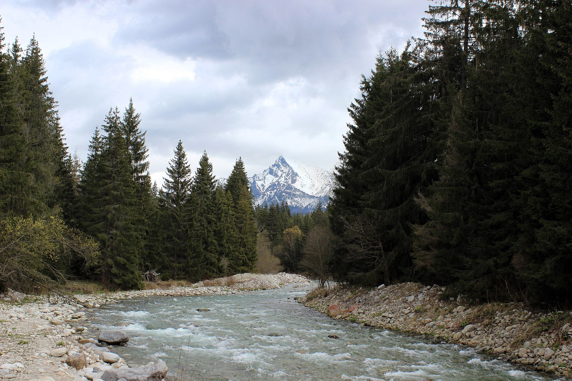
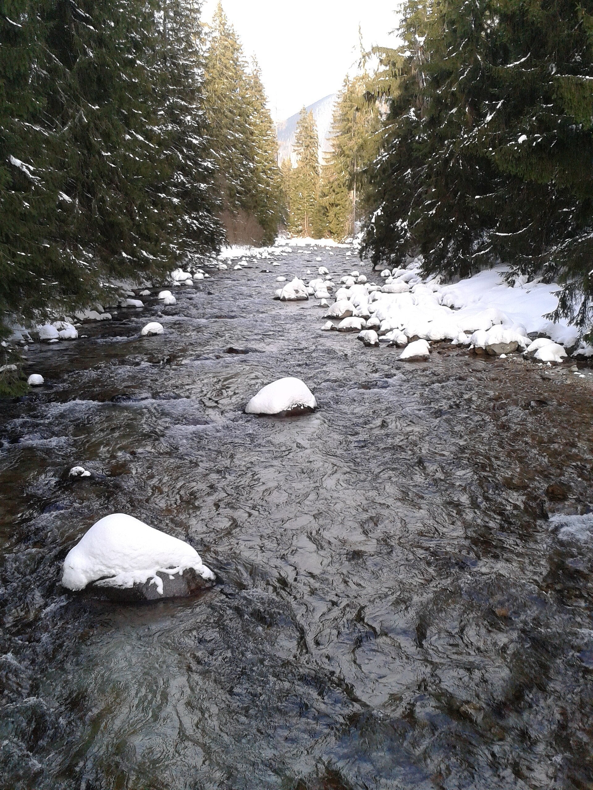
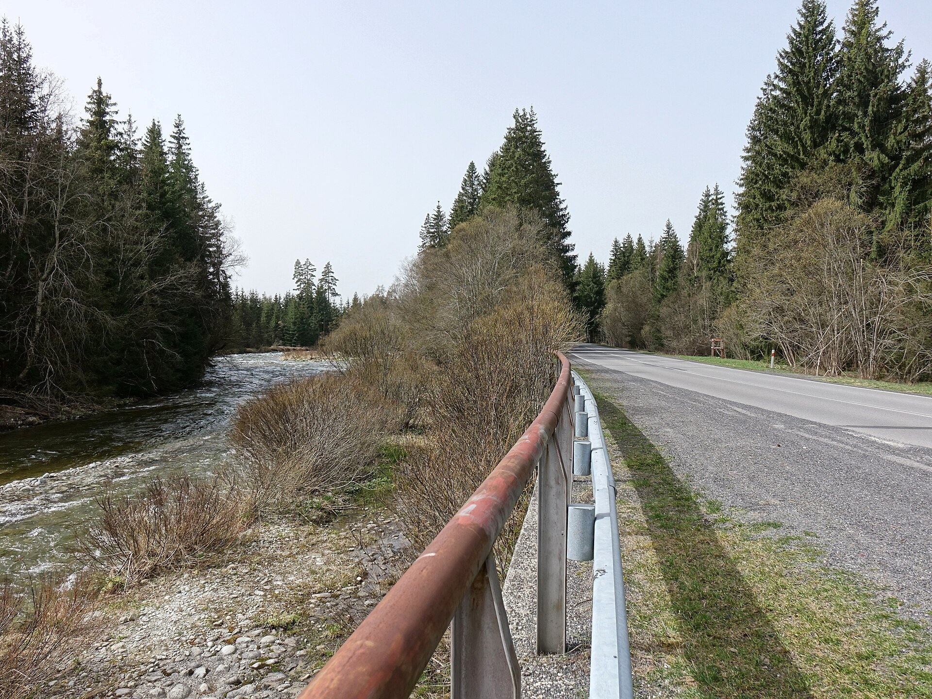
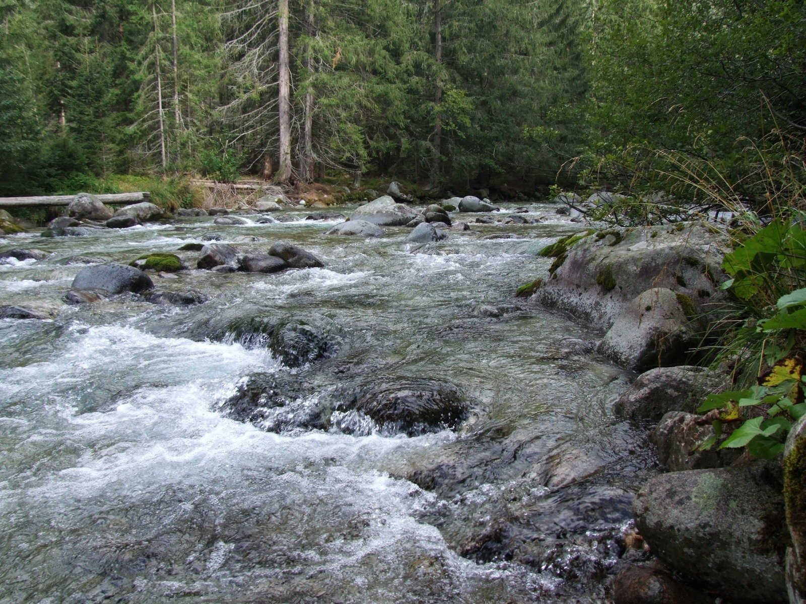
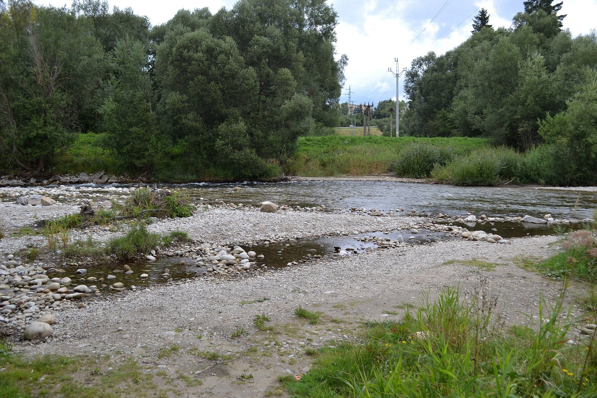
The Belá, in Polish Biała Liptowska, is a right-bank tributary of the Váh in Liptov and one of the largest Váh tributaries there. It collects water from the Tichá and Kôprová valleys on the border of the High and Western Tatras and from most of the southern slopes of the Western Tatras — from the southern ridge of Kriváň to Baranec. The river is about 22 km long (23.6 km according to Wikidata) and its basin covers 224 km² (244 km² according to Wikidata). The Belá lies entirely in Slovakia and is a typical mountain river: cold, highly variable and wild.
The course: from source to mouth
The Belá is formed at 976 m, a little above the settlement of Podbanské, where the Tichý potok flowing down the Tichá valley meets the Kôprovský potok from the Kôprová valley. From here the river flows south-west through the Liptov Basin, takes in the Kamenistý potok, Surový potok, Bystrá, Račková and Krivuľa from the Tatras, and its only notable left-bank tributary, the small Dovalovec, already in the basin. It passes Liptovská Kokava, Pribylina, Vavrišovo, Dovalovo and Liptovský Peter, runs parallel to the road and in Liptovský Hrádok, at a place called Úšusty, joins the Váh at 629 m.
The river flows over a gravel alluvial fan that it built itself from the rocks of the Tatra valleys. On it the river splits into channels, forms meanders and gravel bars and changes its bed after every big flood — Slovaks call this the river «running wild». The mean flow at Podbanské is 3.43 m³/s, but the variation is huge: from 0.46 to 179 m³/s. The water is cold all year — 0 to 8 °C, about 4 °C on average.
What to see along the river
- Museum of the Liptov Village (Pribylina open-air museum) — Liptov wooden houses near the river.
- Ethnographic and Shepherding Museum, Liptovský Hrádok — near the mouth of the Belá; the Hrádok manor and castle stand above the confluence with the Váh.
- Jamnícke plesá — lakes in the valley of one of the tributaries, above Podbanské.
On the water: rafting and kayaking
The Belá is one of Slovakia's best-known paddling rivers, with trips and races held on it. Sport navigation is governed by Act No. 580/2003 on inland navigation: canoes and kayaks (C1, C2, K1, K2, i.e. boats for fewer than three people) may paddle from Podbanské (river km 21.5) to Liptovský Hrádok (km 1.8), and inflatable boats only from the Kokava bridge to Liptovský Hrádok; everyone must follow the TANAP visitor rules. The stretch from Podbanské to the mouth of the Račková is graded WW III+, from the Račková to Vavrišovo WW II–III, and below WW I–II. Along the whole route fallen trees and wooden «siphons» are dangerous, at high water there are holding stoppers, and below Vavrišovo the bed contains sharp quarry stones, rebar and concrete blocks. Conditions can change even within a day, so check the state of the river before setting off.
Nature and safety
The headwaters of the Belá — the Tichá and Kôprová valleys — lie in the Tatra National Park, where you may walk only on marked trails and swimming in the lakes is forbidden. The river's name was first recorded in charters of King Béla IV as «riullum Feier Potok» — «White Stream»; so by the end of the 13th century the river already had its present name, which comes from its wild water churned white with foam. Big floods have been frequent on the Belá; in 1933 the water flooded the whole valley from Pribylina to Liptovský Hrádok. Below Dovalovo a power station has been built on the river. Emergency numbers: 112, in the mountains HZS 18 300.
Nearby: peaks, trails, huts
From Podbanské start the Tatranská magistrála (Tatra Highway): Podbanské – Veľké Biele pleso and the trail Podbanské – Suché Saddle; up the Tichý valley runs Horáreň Tichá – Junction below Grúnik, and above Pribylina rises Bystrá, the highest summit of the Western Tatras.
Photos: Gilbinko, CC BY-SA 4.0, Wikimedia Commons; Pistal, CC BY-SA 4.0, Wikimedia Commons; Ing. Mgr. Jozef Kotulič, CC BY 4.0, Wikimedia Commons; Jerzy Opioła, CC BY-SA 4.0, Wikimedia Commons; Ladislav Luppa, CC BY-SA 4.0, Wikimedia Commons; No machine-readable author provided. Mgx~commonswiki assumed (based on..., CC BY 2.5, Wikimedia Commons.
Getting there from Ukraine
Border crossings
- Uzhhorod – Vyšné Nemecké — road, 24/7
- Malyi Bereznyi – Ubľa — road, 24/7 For cars and buses; pedestrians not confirmed by the Ukrainian border service, lorries up to 3.5 t.
- Mali Selmentsi – Veľké Slemence (pedestrian) — pedestrian, 09:00–21:00 Kyiv time Pedestrians and cyclists only; inconvenient for the Tatras without onward transport.
- Chop – Čierna nad Tisou (rail) — rail, 24/7
By car
Uzhhorod – Poprad ≈195 km, ≈2 h 55 min without queues: Uzhhorod – Vyšné Nemecké checkpoint → I/19 via Sobrance and Michalovce → Košice → D1 motorway via Prešov → Poprad (Liptovský Mikuláš is ≈56 km further on the D1, total ≈249 km). Košice – Poprad ≈112 km. The D1 requires an e-vignette (eznamka.sk). Note: from Lviv the fastest way to Poprad is through Poland — Krakovets – A4 – Kraków – Zakopane – Łysa Polana ≈468 km (≈5 h 50 min); via Uzhok and Malyi Bereznyi ≈419 km but slower (≈6 h 40 min). Zakopane – Poprad ≈69 km, Zakopane – Liptovský Mikuláš ≈80 km.
Checked 23.10.2026; border crossing hours and timetables change — check before you travel.
Location on the map
Comments
Trails nearby
All trails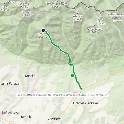 HardOne-dayMarkedPribylina, Hotel Esperanto BaranecElevation profile780–2 185 m11.3 kmascent 1 440 m≈ 5.5 h walkingunder 1 km from Belá River
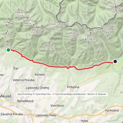 ModerateTwo-dayMarkedTatranská magistrála (Tatra Highway): Na Tokarinách PodbanskéElevation profile789–1 043 m22.2 kmascent 580 m≈ 6.5 h walking2.9 km from Belá River
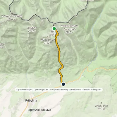 HardOne-dayMarkedHrdovo BystráElevation profile849–2 248 m9.1 kmascent 1 399 m≈ 5 h walking3.8 km from Belá River
Nearby attractions
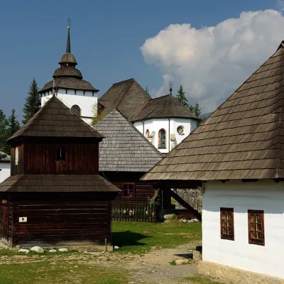 MuseumMuseum of the Liptov Village (Pribylina open-air museum)Pribylina1.3 km from Belá RiverThe Museum of the Liptov Village (Múzeum liptovskej dediny) lies beyond the village of Pribylina on the road to Podbanské, right below the High Tatras.
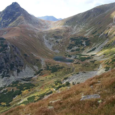 LakeJamnícke plesá12 km from Belá RiverJamnícke plesá are two glacial lakes in the upper part of Jamnícka dolina in the Western Tatras, in the Liptov region, within Tatra National Park (TANAP).
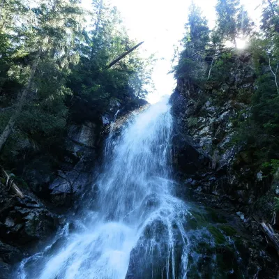 WaterfallRoháčsky WaterfallZuberec14 km from Belá RiverRoháčsky waterfall (Roháčsky vodopád) is the best-known waterfall of the Western Tatras, in the Roháče massif about 12 km east of the village of Zuberec in Orava.
Craft nearby
All craft places Eco farmsFarma Východná — organic farm below the TatrasVýchodná7.1 km from Belá RiverFarma Východná is the highest-lying organic farm in Liptov, at 930 m in the village of Východná right below the Tatras.
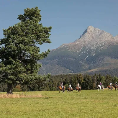 Horse ridingKone vo Východnej: horse rides below the TatrasVýchodná7.8 km from Belá RiverKone vo Východnej (“Horses in Východná”) is a small family horse farm on the meadows above the village of Východná in upper Liptov, with a sweeping view of the High...
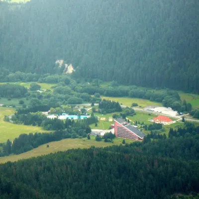 Water parks & thermal poolsTERMAL raj thermal bath, Liptovský JánLiptovský Ján13 km from Belá RiverLiptovský Ján: thermal water at the entrance to Jánska dolina Liptovský Ján is an old village in southern Liptov, about 10 km from Liptovský Mikuláš, at the entrance...
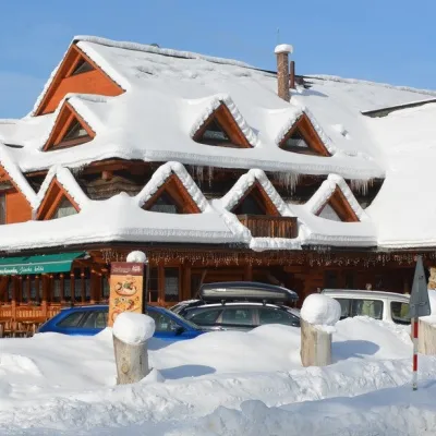 Koliby & Hutsul cuisineKoliba Strachanovka, Jánska valleyLiptovský Ján13 km from Belá RiverKoliba Strachanovka (Jánska koliba) is a large wooden koliba at the entrance to the Jánska valley in the village of Liptovský Ján, which locals consider one of the...
 Craft beer & breweriesLiptovar brewery, Liptovský Mikuláš: craft beer and brewpubLiptovský Mikuláš15 km from Belá RiverLiptovský Mikuláš is the main town of the Liptov region, a short drive from the Low and Western Tatras, the Demänovská Valley and the Liptovská Mara reservoir.
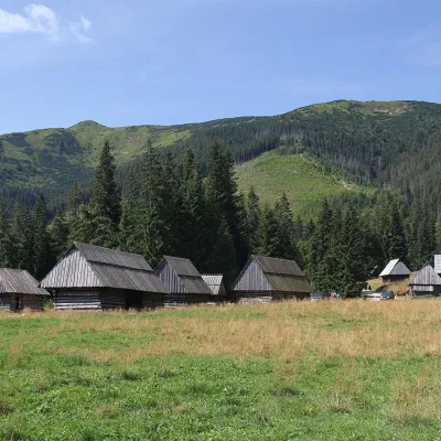 Cheese dairies & pasturesShepherds' Huts on Polana ChochołowskaKościelisko15 km from Belá RiverPolana Chochołowska is the largest glade in the Polish Tatras and one of the largest in the whole range.
