Zgarda


What to see nearby
The best within 10 km, as the crow flies
 Museum of History and Local LoreMuseum · 700 m
 Church of the Nativity of the Virgin Mary XVII-XVIIIChurch · 700 m
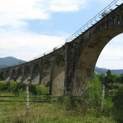 Austrian viaduct bridgeArchitecture · 1.7 km
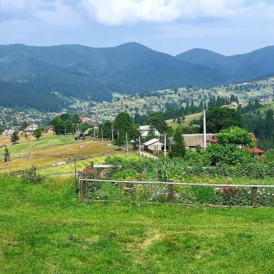 Mount OseredokPeak · 2.8 km
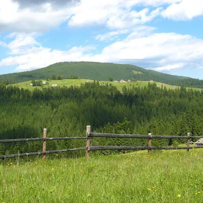 Mount MaguraPeak · 3.7 km
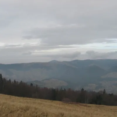 Polonyna BorsuchynaMountain meadow · 6.1 km
Trails starting within 5 km: 16
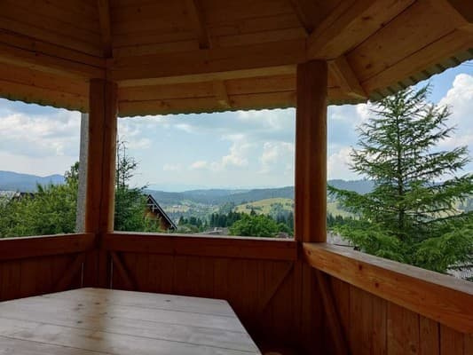
Cottage "Zgarda" is located in the village of Vorokhta, 1 km from the center. A wooden house for 2-6 persons with a mountain view. Guests have access to 2 bedrooms, a living room, and a mini-kitchen with a microwave and refrigerator. Free Wi-Fi is available throughout the cottage. Guests can enjoy private parking, mountain views, and a walk in the nearby forest. Barbecue facilities, swings, and a gazebo with beautiful views are available for guests. The distance from the house to the Bukovel ski resort and Mount Hoverla is 22 km. The distance from the cottage "Zgarda" to the Vorokhta railway station is 1 km, to the Vorokhta bus station is 1.6 km, and to Ivano-Frankivsk airport is 87.4 km.
Extra beds are not provided.
Trains connect Lviv - Rakhiv, Ivano-Frankivsk - Rakhiv or buses Ivano-Frankivsk - Verkhovyna (via Vorokhta), Ivano-Frankivsk - Vorokhta to the center of Vorokhta. By car, take the N-09 highway through Ivano-Frankivsk to the village of Tatariv. In Tatariv, turn according to the signs to Kosiv (R-24 Tatariv-Verkhovyna road), and drive to the town of Vorokhta.
1 km from the cottage is the restaurant "Stara Vorokhta".
Location on the map
Reviews
Nearby attractions
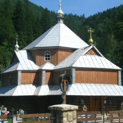 ChurchChurch of St. Demetrius of Thessaloniki, TatarivTatariv6.1 km from ZgardaDemetrius of Thessalonica in the small village of Tatariv was built in 1870. The church was erected in honor of the righteous great martyr Dmytro Slutsky.
 SightYablunytskyi pass, YablunytsiaYablunytsia7.3 km from ZgardaYablunytskyi Pass is a transportation artery that connects Ivano-Frankivsk and Zakarpattia regions. There are observation decks on the pass that offer a beautiful and...
 Mountain meadowPolonyna LabieskaVorokhtaaltitude 1 410 m · Kukul range7.5 km from ZgardaPolonyna Labieska (also spelled Labeska) lies on the northern slopes of the Kukul ridge, between Mount Kukul (1539 m) and Mount Kychera above Vorokhta, in Nadvirna...
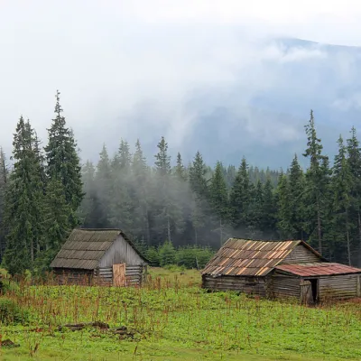 Mountain meadowPolonyna Kukul (Kukul), VoronenkoVoronenkoaltitude 1 440 m8.2 km from ZgardaPolonyna Kukul is a mountain meadow in the Ukrainian Carpathians, within the Kukul ridge (Kukul mountain - 1539 m), administratively located within the Zakarpattia...
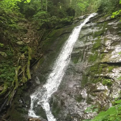 WaterfallNarinetskyi waterfall, MykulychynMykulychyn11 km from ZgardaNarinetskyi Waterfall is a waterfall in the Ukrainian Carpathians, on the Noretskyi Stream (a left tributary of the Zhenets River).
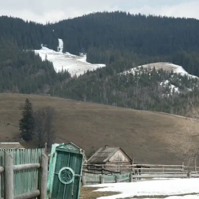 NatureKryvopillia Pass, KryvopilliaKryvopillia11 km from ZgardaKryvopillia Pass is one of the most difficult passes in the Ukrainian Carpathians. It is located within the Verkhovyna-Putyla lowlands (in its northwestern part), on...
Craft nearby
All craft places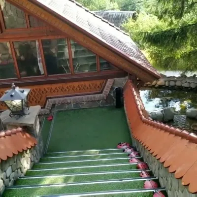 Koliby & Hutsul cuisineStara Vorokhta Restaurant, VorokhtaVorokhtaunder 1 km from ZgardaStara Vorokhta restaurant ("Old Vorokhta") is one of the best-known places for Hutsul food in Vorokhta: on Google Maps it is rated 4.6 from more than 6,300 reviews, a...
 Markets & fairsSouvenir Bazaar by the Ski Jumps, VorokhtaVorokhta1 km from ZgardaThe souvenir bazaar in Vorokhta is one of the busiest little trading spots in the mountain Hutsul region.
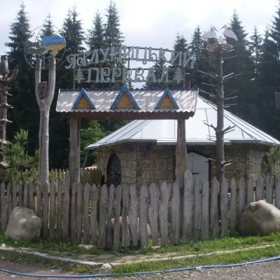
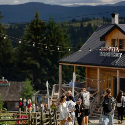 Mountain meadowPolonyna Pertsi Ethno Park, YablunytsiaYablunytsiaaltitude 940 m · Kukul range8.8 km from ZgardaPolonyna Pertsi (“Pepper Meadow”) is an ethno park of Hutsul traditions in Yablunytsia, close to the Yablunytsia Pass.
 Theme parksDinoPark, Polianytsia (Bukovel)Yablunytsia9.2 km from ZgardaDinoPark in Polianytsia is an open-air dinosaur theme park at the entrance to Bukovel resort. It is easy to spot from the road: a huge dinosaur figure stands right by...
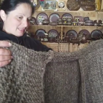 Markets & fairsSouvenir Market on the Yablunytsia Pass, YablunytsiaYablunytsia9.3 km from ZgardaThe souvenir market on the Yablunytsia Pass is one of the best-known roadside bazaars in the Carpathians.
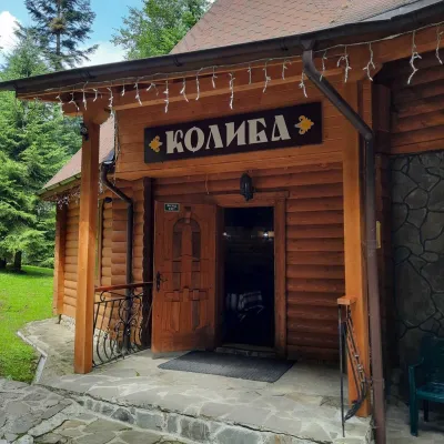 Koliby & Hutsul cuisineKoliba “Dykyi Med”, TatarivTatariv9.4 km from ZgardaThe Dykyi Med (“Wild Honey”) kolyba is the heart of a private estate of the same name in the Zhenets area of Tatariv, in a valley the locals call the Honey Valley.
Peaks nearby
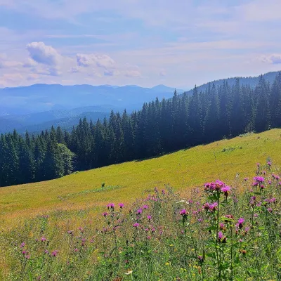 PeakMount Kychera (Vorokhta)Vorokhtaaltitude 1 225 m · Chornohora range5.3 km from ZgardaKychera is a 1,225 m summit north of the Chornohora range, in Ivano-Frankivsk Oblast. It lies between Vorokhta (about 4.5 km) and Mount Kukul (1,539 m), about 3.2 km...
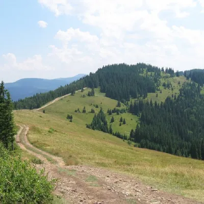 PeakMount LisnivTatarivaltitude 1 257 m · Pokuttia-Bukovyna Carpathians range7.4 km from Zgarda16 trails to the topMount Lisniv is a 1257-meter peak of the Ukrainian Carpathians, which is located on the territory of the Pokutsko-Bukovyna mountain range.
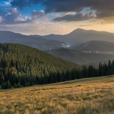 PeakMount Pid-BerdyVoronenkoaltitude 1 388 m · Kukul range7.5 km from ZgardaPid-Berdy (1388 m) is a summit on the Kukul ridge, a northern spur of Chornohora in the Ukrainian Carpathians.
Trails nearby
All trails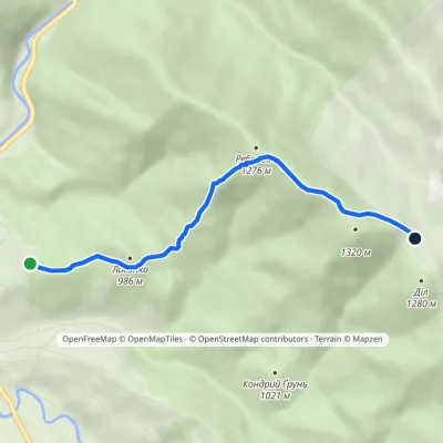 EasyOne-dayMarkedVorokhta Dil polonynaElevation profile901–1 298 m4 kmascent 397 m≈ 2 h walkingunder 1 km from Zgarda
 HardMulti-dayDilove village to Vorokhtavia Mount Pip Ivan Marmaroskyi, Mount Pip Ivan Chornohirskyi +2Elevation profile363–2 061 m88.1 kmascent 5 274 munder 1 km from Zgarda
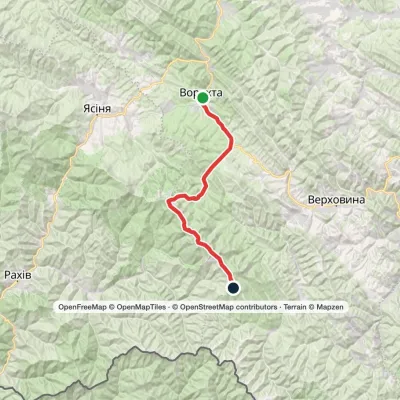 HardMulti-dayVorokhta to Mount Pip Ivan Chornohirskyivia Zaroslyak base, Mount Hoverla +2Elevation profile746–2 061 m42.2 kmascent 2 222 munder 1 km from Zgarda
