Mount Nondah
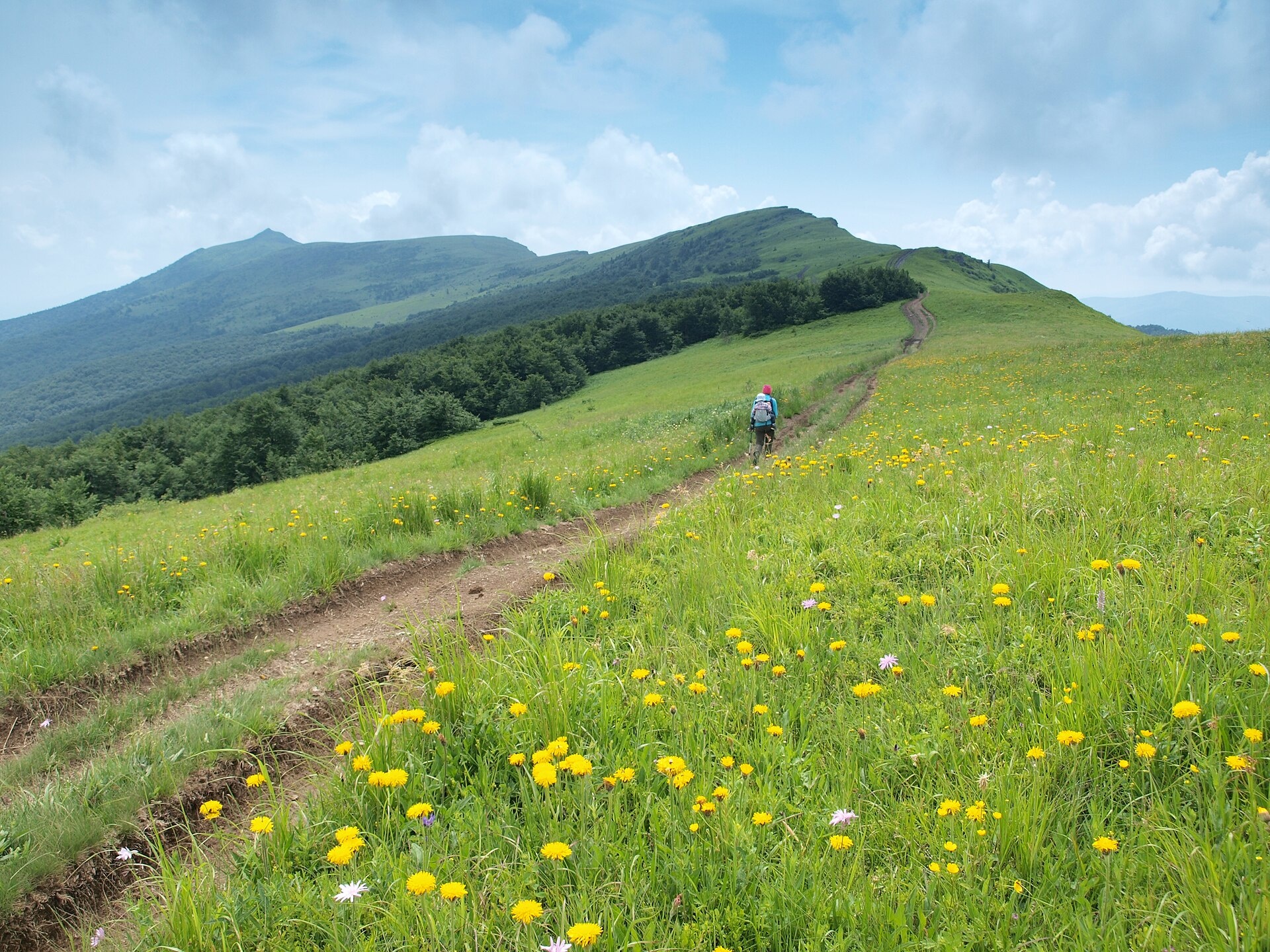
Nondah is a 1,303 m summit on the Vododilnyi (Verkhovyna Watershed) Ridge, on the border of Lviv and Zakarpattia oblasts. It sits on the treeless crest between Hostryi Verkh and Zelemenyi, about 4.5 km north-west of the ridge’s highest mountain, Pikui. The nearest villages in our catalogue are Perekhresnyi (about 4.6 km) and Pashkivtsi (about 6 km) on the Zakarpattia side and Verkhnie Husne (about 5.6 km) on the Lviv side.
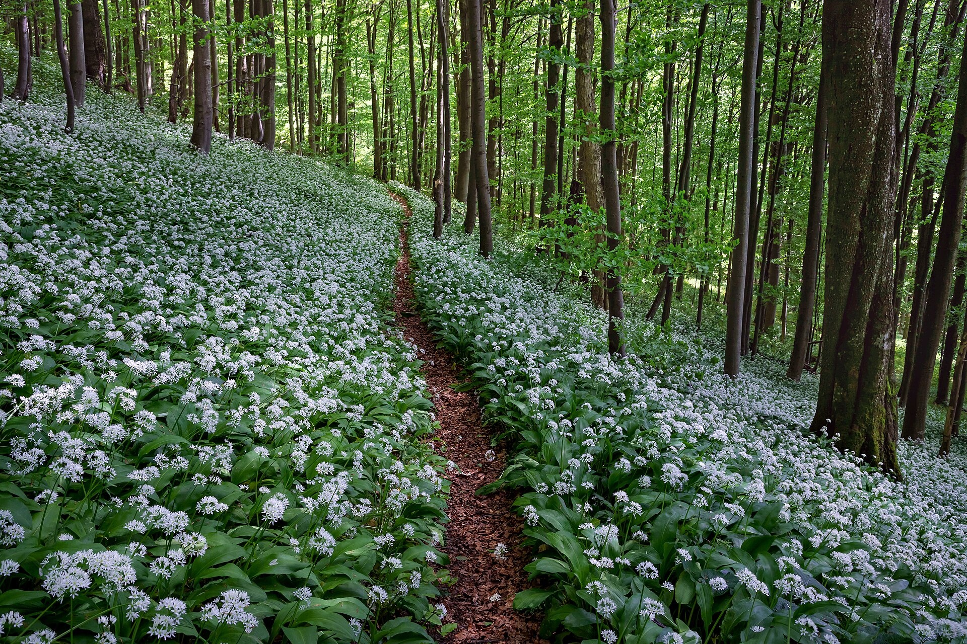
Nondah barely rises above its neighbours: Prypir (1,285 m) is about 1 km to the north, Hostryi Verkh (1,294 m) 1.5 km to the north and Zelemenyi (1,304 m) 2.3 km to the south. Further north-west, about 3 km away, stands Velykyi Verkh (1,309 m). Some maps label the mountain Nandak. Nearby, on the south-western slopes of the ridge, lies the Pryvododilnyi forest reserve (722 ha), which protects beech, beech–sycamore and beech–spruce woods at 940–1,180 m.
How to get there
The Transcarpathian Tourist Trail follows the crest over Nondah, together with 13 more of our routes heading for Pikui. The shortest is Lybokhora – Mount Velykyi Verkh – Mount Pikui – Bilasovytsia (21.1 km, about 930 m of ascent), which crosses the summit itself. Other options:
- Lybokhora – Mount Pikui – Bilasovytsia, 23 km;
- Uzhok – Husnyi – Drohobytskyi Kamin – Ruska Put pass – Pikui – Bilasovytsia, 30.3 km;
- Uzhok – Drohobytskyi Kamin – Starostyna – Velykyi Verkh – Pikui – Shcherbovets – Zhdeniievo, 36.4 km.
For a multi-day loop, try Lumshory – Polonyna Runa – Pashkivtsi – Pikui – Ruskyi Put pass – Perekhresne – Ostra Hora – Liutianska Holytsia – Lumshory (72.2 km).
Water, shelter and safety
There is no water at the summit. The nearest springs on our map are about 2.1–2.4 km to the north-west, at 1,140–1,160 m, on the slopes above Perekhresnyi and Lybokhora (condition unknown). Picnic shelters stand above Verkhnie Husne, about 2.6 and 3.2 km to the east, but much lower, at 770–850 m. Carry enough water for the ridge walk. The open pasture is exposed to wind and dangerous in a thunderstorm, and in fog it is easy to stray on the broad crest. The nearest summit with our 7-day forecast is Stii on the Borzhava, about 32 km away: weather on Mount Stii. In an emergency call 112 or 101 — contacts of the nearest units are on our mountain rescue page.
Interesting facts
- The main Carpathian watershed runs along the Vododilnyi Ridge here; rivers such as the Latorytsia and the Stryi rise on it.
- The ridge is built of sandstone and is asymmetric: its southern slopes are steep and craggy, the northern ones gentle.
- The crest pastures are mostly mat-grass meadows with patches of bilberry.
Photos: Голяка Микола, CC BY-SA 4.0; Ponomarenko Hanna, CC BY-SA 4.0 — Wikimedia Commons.
Location on the map
Comments
Places to stay nearby
 CottageHomestead "Lukacha" Zhdeniyevo5.7 km from Mount NondahSaunaFireplaceKitchenNearby: Ostra Gora 5.6 kmVojvodyn waterfall 7.9 km7 trails
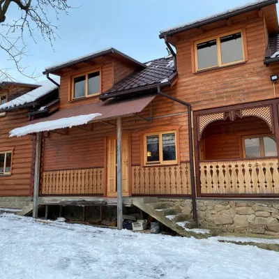 HomesteadVilla Uzh16 km from Mount NondahThe cottage "Villa Uzh" is located amidst picturesque mountains in the village of Uzhok, 5 km from the Volosyanka-Zakarpatska railway station.Nearby: Church of St. Michael 500 m3 trails
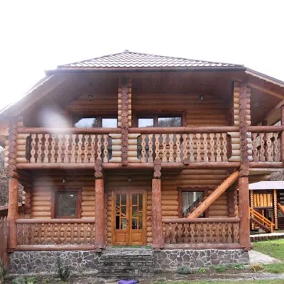 CottageCottage "Pustoshak" Bilasovitsya5.9 km from Mount NondahHot tubPoolSaunaNearby: 11 trails
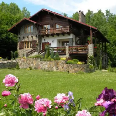 HomesteadChalet "Kukavica" Shcherbovets6.8 km from Mount NondahKitchenParkingNearby: Ostra Gora 7.6 kmVojvodyn waterfall 8.8 km7 trails
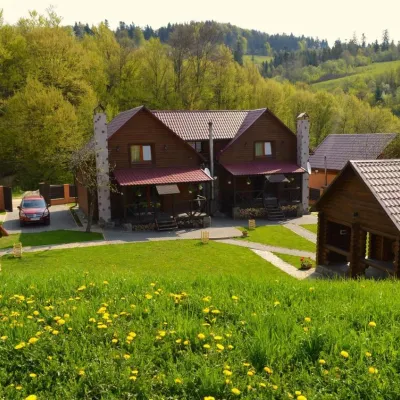 HomesteadPrivate Homestead "Shcherbovets"6.8 km from Mount NondahHot tubSaunaBBQNearby: Ostra Gora 7.5 kmVojvodyn waterfall 8.7 km7 trails
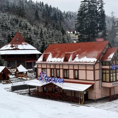 HotelHotel-Bar "Extreme" Mykulychyn9.3 km from Mount NondahPoolSaunaBBQNearby: Vojvodyn waterfall 8.1 kmOstra Gora 8.8 km6 trails
Trails nearby
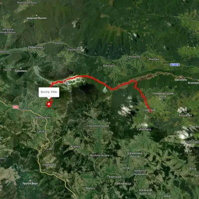 HardTwo-dayUnmarkedLybokhora village to Bilasovytsia villagevia Mount Velykyi Verkh, Mount PikuiElevation profile593–1 399 m21.1 kmascent 931 m≈ 7 h walkingunder 1 km from Mount Nondah
 HardMulti-dayUnmarkedLumshory village loopvia Runa polonyna, Pashkivtsi village +5Elevation profile448–1 464 m72.2 kmascent 4 162 munder 1 km from Mount Nondah
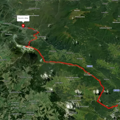 HardMulti-dayUnmarkedUzhok village to Zhdeniievo villagevia Mount Drohobytskyi Kamin, Starostyna village +3Elevation profile393–1 336 m36.4 kmascent 1 520 m≈ 12 h walkingunder 1 km from Mount Nondah
Nearby attractions
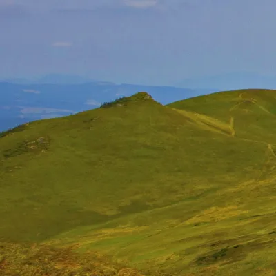 PeakMount Hostryi Verkhaltitude 1 294 m · Watershed Ridge range1.5 km from Mount NondahHostryi Verkh (also Ostryi Verkh) is a 1,294 m summit on the Vododilnyi (Verkhovyna Watershed) Ridge. It stands on the border of Lviv and Zakarpattia oblasts, between...
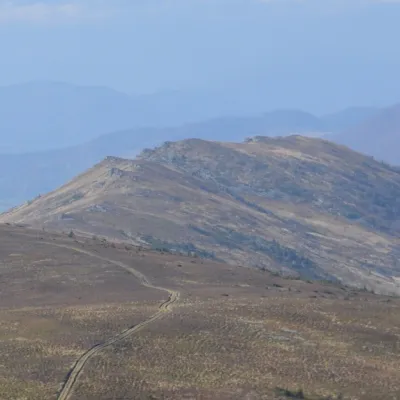 PeakMount Zelemenyialtitude 1 304 m · Watershed Ridge range2.3 km from Mount NondahZelemenyi is a 1,304 m summit on the Vododilnyi (Verkhovyna Watershed) Ridge of the Ukrainian Carpathians.
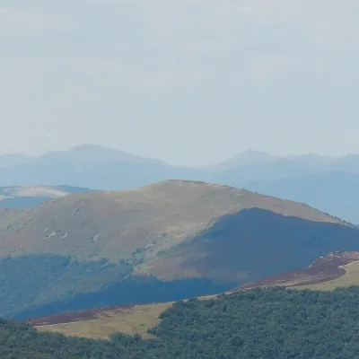 PeakMount Velykyi Verkh (Vododilnyi Ridge)altitude 1 309 m3.1 km from Mount NondahVelykyi Verkh is a 1,309 m summit on the Vododilnyi (Verkhovyna Watershed) Ridge, on the border of Lviv and Zakarpattia oblasts.