Mount Ukernia
Ukernia is a 1,620 m summit in the western Gorgany, in Ivano-Frankivsk Oblast, on the ridge between the Svicha and Moloda valleys. It lies about a kilometre south of Pohanets (1,667 m) and 2 km from Yaiko-Ilemske (1,680 m); to the south the crest continues to Syvania Lolynska (1,643 m, about 1.9 km) and the Solotvynka saddle (1,355 m), while Moloda (1,723 m) rises about 3.9 km to the south-east. Hikers reach this ridge from Myslivka, about 14 km away.
In 2004 the Ukerna protected forest, covering 580.6 ha, was established around the mountain. It protects high-mountain spruce forest mixed with dwarf pine and scattered Swiss stone pines growing near the tree line, between 1,100 and 1,680 m. Bilberry, lingonberry, crowberry, mountain arnica and stag’s-horn clubmoss grow in the undergrowth.
How to get there
Six of our routes cross Ukernia or pass within 100 m of it. The shortest is Myslivka – Yaiko-Perehinske – Solotvynka (22.3 km). For a ridge loop take Myslivka – Mount Yaiko-Ilemske – Mount Horhan-Ilemskyi – Myslivka (47.2 km) or Myslivka – Arshytsia ridge – Mount Moloda – Mount Yaiko-Ilemske – Myslivka (68.8 km). To cross to Osmoloda there is Myslivka – Mount Yaiko-Ilemske – Mount Moloda – Mount Hrofa – Mount Popadia – Osmoloda (61.3 km) and the reverse Osmoloda – Mount Popadia – Mount Koretvyna – Mount Hrofa – Mount Moloda – Mount Yaiko-Ilemske – Myslivka (74.8 km).
Water, shelter and safety
On our map the nearest water is from streams about 430 m north-east and 540 m north of the summit (around 1,440–1,465 m), with another one 810 m to the south-east. Springs below Yaiko-Ilemske are marked 0.8–1.7 km to the north; the condition of all of them is unknown. The shelter below Yaiko-Ilemske (about 1.8 km north-east) is ruined, so bring a tent. The crest is rocky and exposed, it is easy to lose the path in fog, and inside the protected forest the reserve rules apply. The nearest summit with our forecast is weather on Hrofa (about 10 km away). In an emergency call 112 or 101 — contacts of the nearest units are on our mountain rescue page.
Interesting facts
- The Ukerna forest is a refuge for red deer, lynx, brown bear and capercaillie.
- The reserve’s boundary signs were put up in 2013 by volunteers of the Karpatski Stezhky hiking society together with foresters.
- A marked (black) trail crosses Ukernia on its way from the Solotvynka pasture to Yaiko-Ilemske.
Comments
Travellers’ experience: reports, tips, questions.
No one has reported on this trail yet. Been here lately? Tell others what it is like now.
Water and shelter nearby
- Stream water below Mount Yaiko-Ilemske (2)430 m · Not verified · 1 440 m
- Stream water below Mount Yaiko-Ilemske540 m · Not verified · 1 465 m
- Stream water (Synevyr, 2)810 m · Not verified · 1 413 m
- Spring below Mount Yaiko-Ilemske (2)840 m · Not verified · 1 531 m
- Spring below Mount Yaiko-Ilemske (3)1.3 km · Not verified · 1 580 m
- Spring below Mount Yaiko-Ilemske (4)1.7 km · Not verified · 1 400 m
- Spring below Mount Moloda (3)2.4 km · Not verified · 1 440 m
Wildlife nearby
All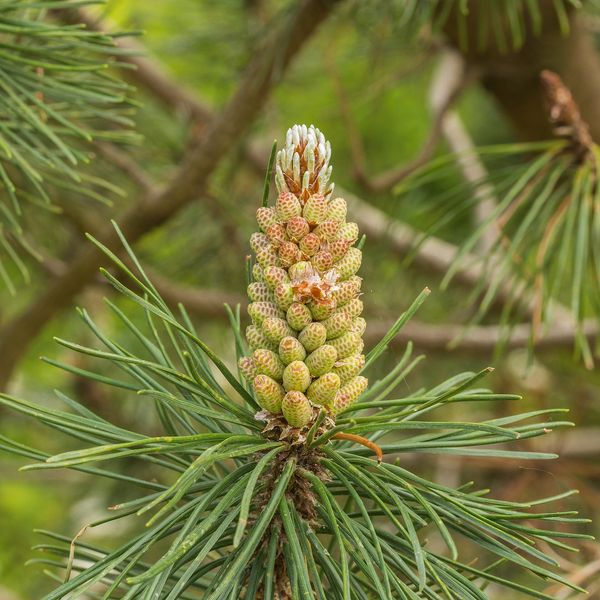
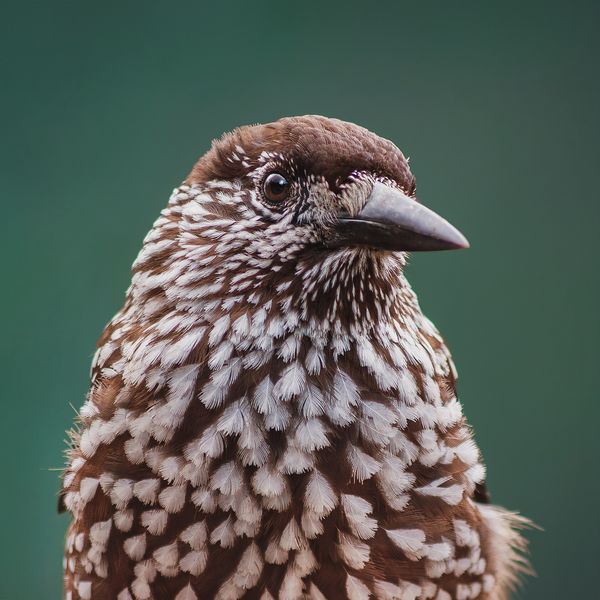
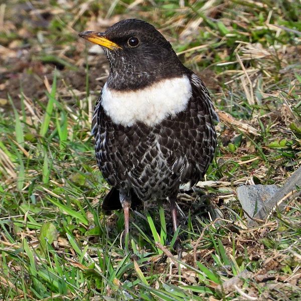
Based on naturalists’ records nearby (GBIF, iNaturalist), matched by altitude, habitat and season. Sightings are not guaranteed.
Places to stay nearby
All stays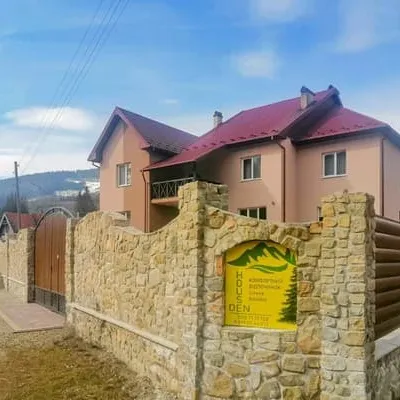 HotelDen HouseDolyna12 km from Mount UkerniaPoolSaunaBBQNearby: Mt Velykyi Pustoshak 4.2 kmPolonyna Shchavna 9.7 km9 trailsfrom 1 150 UAH per night
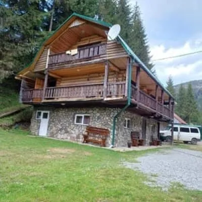 HotelVerkhovynskyi VodohraiMizhhiria13 km from Mount UkerniaHot tubBBQParkingNearby: Ozerna Mountain 3.0 kmPolonyna Hycha 8.4 km9 trailsfrom 1 300 UAH per night
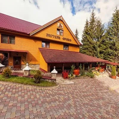 HotelArnikaMizhhiria13 km from Mount UkerniaHot tubPoolSaunaNearby: Ozerna Mountain 3.0 kmPolonyna Hycha 8.4 km9 trailsfrom 1 800 UAH per night
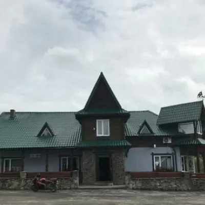 HotelZatorDolyna16 km from Mount UkerniaParkingPetsNearby: Mt Chorna Ripa 8.5 km1 trailfrom 800 UAH per night
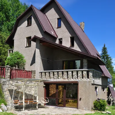 SadybaMykhailova SadybaKuzmynets16 km from Mount UkerniaSaunaFireplaceKitchenNearby: Sokil tract 3.0 kmPlast camp - Sokol museum 3.2 km14 trailsfrom 2 800 UAH whole place / night
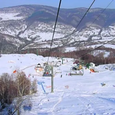 Ski resortVyshkiv ski slopeVyshkiv15 km from Mount UkerniaSaunaNearby: 1 trail
Trails nearby
All trails HardOne-dayMarkedMyslivka Solotvynkavia Yayko PerehinskeElevation profile654–1 680 m22.3 kmascent 1 268 m≈ 7.5 h walkingunder 1 km from Mount Ukernia
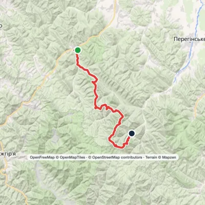 HardMulti-dayMarkedMyslivka village to Osmoloda villagevia Mount Yayko-Ilemske, Mount Moloda +2Elevation profile649–1 748 m61.3 kmascent 3 718 munder 1 km from Mount Ukernia
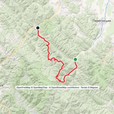 HardMulti-dayMarkedOsmoloda village to Myslivka villagevia Mount Popadia, Mount Koretvyna +3Elevation profile661–1 748 m74.8 kmascent 3 671 munder 1 km from Mount Ukernia
Nearby attractions
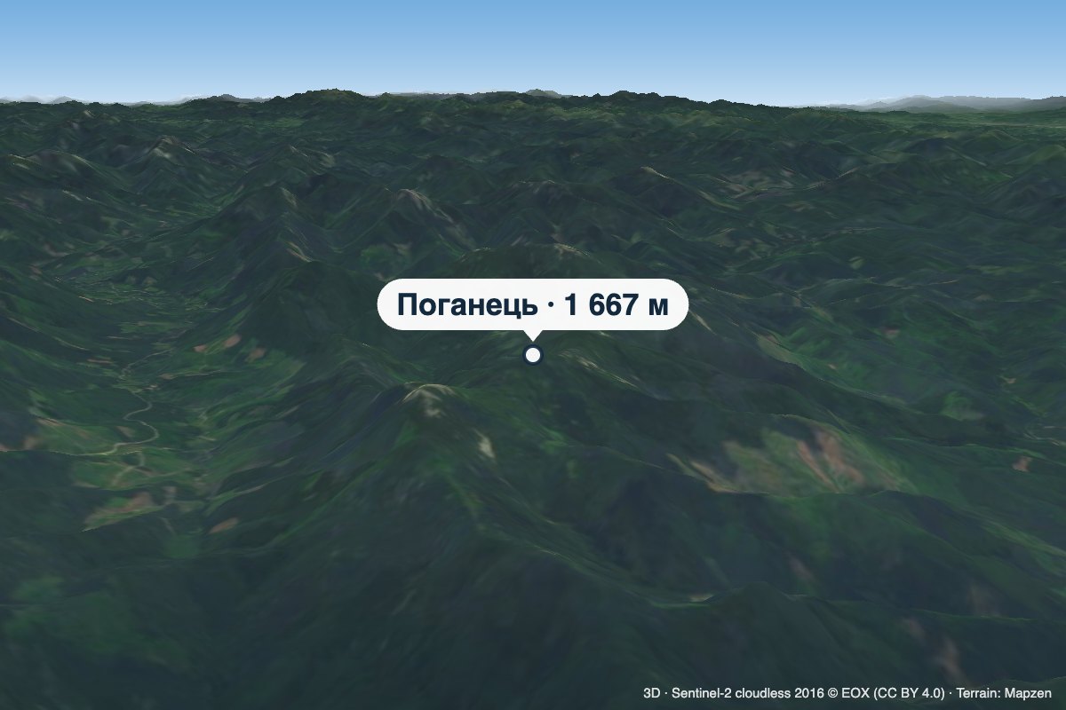 PeakMount PohanetsMyslivkaaltitude 1 667 m1 km from Mount Ukernia1 trail to the topPohanets is a 1,667 m summit in the western Gorgany, in the Kalush district of Ivano-Frankivsk Oblast (formerly Dolyna district).
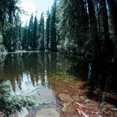 LakeLake Arshitsa, OsmolodaGorgany5.2 km from Mount Ukernia1 300 m above sea levelLake Arshytsia is the highest lake on the ridge (1300 m) and was recently discovered in April 2009 by a tourist from the Dolyna, Viktor Verkhovynets, as evidenced by a...
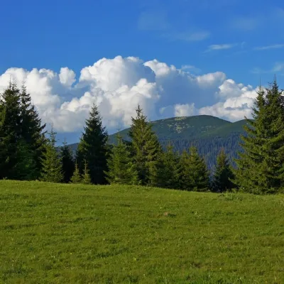 Mountain meadowPolonyna HychaSvoboda6.4 km from Mount UkerniaPolonyna Hycha is a cozy meadow in the Ukrainian Carpathians, located in the Rozhniativ district of Ivano-Frankivsk region, east of the village of Svoboda.
Craft nearby
All craft places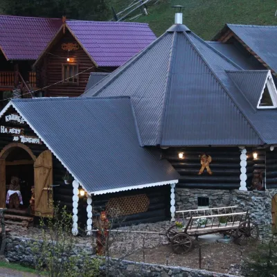 Koliby & Hutsul cuisineKoliba “Na Detsu do Tsimbora”, Synevyrska PolianaSynevyrska Polyana13 km from Mount UkerniaNa Detsu do Tsimbora is a large kolyba restaurant in Synevyrska Poliana, right where the road starts climbing to Lake Synevyr.
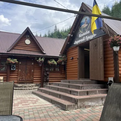 Koliby & Hutsul cuisineKoliba “Hariachyi Hutsul”, Synevyrska PolianaSynevyrska Polyana13 km from Mount UkerniaKolyba “Hariachyi Hutsul” (“The Hot Hutsul”) is a cosy kolyba-museum in Synevyrska Poliana, on the road to Lake Synevyr.
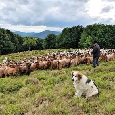 Cheese dairies & pasturesVivcharskyi Khutir Sheep Farm, Synevyrska PolianaSynevyrska Polyana17 km from Mount Ukernia"Vivcharskyi Khutir" ("Shepherd's Homestead") is an ethno-centre and sheep farm in Synevyrska Poliana, near Lake Synevyr.
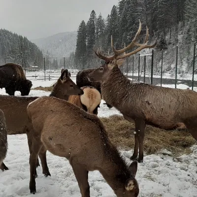 Wildlife parks & animal farmsWolf Valley Eco Park, Synevyrska PolianaSynevyrska Polyana18 km from Mount UkerniaWolf Valley Eco Park (Dolyna Vovkiv) is a private animal park in Synevyrska Poliana, in the Mizhhiria area of Zakarpattia, where several kinds of wolves, red deer,...
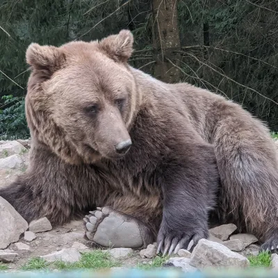 Wildlife parks & animal farmsBrown Bear Rehabilitation Centre, Synevyr National Park, Synevyrska PolianaSynevyrska Polyana20 km from Mount UkerniaThe Brown Bear Rehabilitation Centre of Synevyr National Nature Park is Ukraine’s largest refuge for bears that have suffered from cruel treatment.
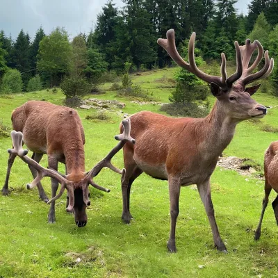 Wildlife parks & animal farmsBioPark Synevyr – Africa in the Carpathians, Synevyrska PolianaSynevyrska Polyana20 km from Mount UkerniaBioPark Synevyr – Africa in the Carpathians is a hands-on animal park in the Rabachynka area near Synevyrska Poliana, in the valley of the Chorna river.
