Mount Stranzul
Stranzul is a 1,630 m summit (1,631 m according to other sources) in the south-western Gorgany. It belongs to the Bushtul group, which lies south of the Nimetskyi pass (1,177 m), and stands on the south-western shoulder that branches off from Bushtul. Some maps spell the name “Stranzhul”. The nearest villages are Nimetska Mokra (about 8.5 km) and Lopukhiv (about 9 km) in the Tiachiv district of Zakarpattia Oblast.
Stranzul is surrounded by high neighbours: Andriuske (1,603 m) stands about 840 m to the south, Bahno (1,608 m) a kilometre to the north-east, Molochna (1,645 m) 2.2 km to the north-east and Bushtul itself (1,691 m) 2.8 km to the north. Further north, about 3.3 km away, lies Roshka (Reskal, 1,612 m), while to the south-west the shoulder drops towards Pryslup (1,337 m).
How to get there
Our route Bert ridge – Mount Bushtul – Nimetska Mokra (21.3 km) passes about 20 m from the summit on its way down to Nimetska Mokra. Our other routes run 2.8 km away: Dariv ridge – Mount Bushtul – Mount Bert (19.5 km) and the long Gorgany traverse Tatariv – Syniak – Dovbushanka – Chorna Kleva – Bratkivska – Syvulia – Kinets Horhanu – Popadia – Hrofa – Myslivka (171.1 km).
Water, shelter and safety
Our map shows no springs or huts within 4 km of the summit, so carry water and a tent. Gorgany summits are covered with boulder fields and dwarf pine — the rocks are slippery after rain and the path is easy to lose in fog; the nearest village is more than 8 km away. Plan ahead and tell someone your route. The nearest summit with our forecast is weather on Velyka Syvulia (about 20 km away). In an emergency call 112 or 101 — contacts of the nearest units are on our mountain rescue page.
Interesting facts
- Two more summits over 1,600 m, Andriuske and Bahno, stand on the same shoulder of Bushtul.
- Stranzul is higher than Prybui, the last summit of Bushtul’s south-western shoulder.
Comments
Places to stay nearby
 Homestead"U Davidka i Matviika"16 km from Mount StranzulFireplaceKitchenParkingNearby: Mt Petros Gorgansky 4.6 kmMt Studenets 3.8 km2 trails
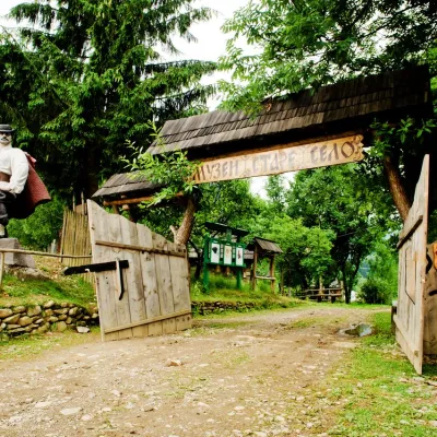 HotelComplex "Stare Selo" Mykulychyn15 km from Mount StranzulParkingTransferNearby: Holy Spirit Church 200 mMt Strymba 6.9 km10 trails
 HomesteadHomestead "Faini Karpaty" Osmoloda16 km from Mount StranzulSaunaBBQKitchenNearby: Mt Petros Gorgansky 4.6 kmMt Studenets 3.8 km2 trails
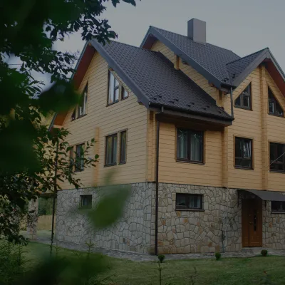 HomesteadHomestead "Albertville" Osmoloda16 km from Mount StranzulFireplaceKitchenParkingNearby: Mt Petros Gorgansky 4.8 kmMt Studenets 4.0 km2 trails
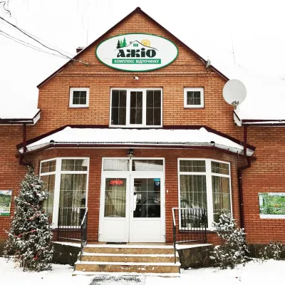 HotelRecreation Complex "Azhio" Mykulychyn Village16 km from Mount StranzulSaunaKitchenTransferNearby: Holy Spirit Church 1.2 kmMt Negrovets 7.8 km9 trails
 CottageCottage "Yalivets" Kolochava16 km from Mount StranzulHot tubBBQKitchenNearby: Holy Spirit Church 1.7 kmMt Negrovets 7.3 km9 trails
Trails nearby
 ModerateTwo-dayUnmarkedBert ridge to Nimetska Mokra villagevia Mount BushtulElevation profile618–1 710 m21.3 kmascent 684 m≈ 6.5 h walkingunder 1 km from Mount Stranzul
 HardTwo-dayUnmarkedDariv ridge to Mount Bertvia Mount BushtulElevation profile1 130–1 688 m19.5 kmascent 1 207 m≈ 7.5 h walking2.8 km from Mount Stranzul
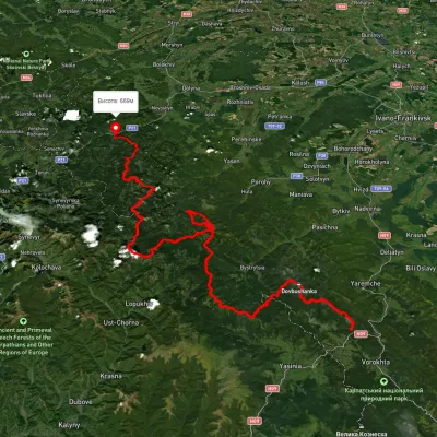 HardMulti-dayUnmarkedTatariv village to Myslivka villagevia Mount Syniak, Mount Dovbushanka +6Elevation profile671–1 792 m171.1 kmascent 9 973 m2.9 km from Mount Stranzul
Nearby attractions
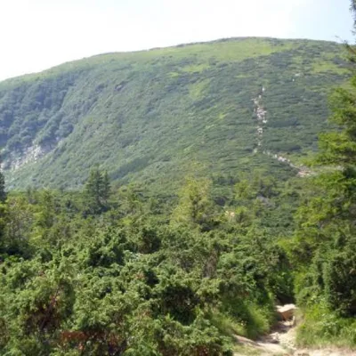 PeakMount Bushtulaltitude 1 691 m · Gorgany range2.8 km from Mount Stranzul3 trails to the topBushtul is a 1,691-meter-high mountain in the Ukrainian Carpathians, located in the Gorgan mountain range (Inner (Subsidiary) Gorgan Mountains ) on the border of two...
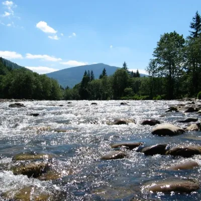 RiverLimnytsia River landscape reserve of local importance5.1 km from Mount StranzulThe area of the reserve is 2440 hectares. The Limnytsia River is a source of clean water and has favorable conditions for the life, spawning and development of...
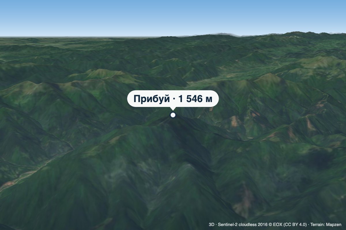 PeakMount Prybuialtitude 1 546 m · Gorgany range5.9 km from Mount StranzulPrybui is a 1,546 m summit in the south-western Gorgany, in the Tiachiv district of Zakarpattia Oblast.