Mount Korbul
Korbul is a 1,696 m summit in the Ukrainian part of the Marmarosh Massif (the Hutsul Alps), in the Rakhiv district of Zakarpattia Oblast. It is a remote corner of the mountains between the Bila Tysa and Chornyi Cheremosh valleys: the nearest villages, Luhy and Breboia, are more than 13 km away, and the hamlet of Burkut about 12.5 km. In Romanian the mountain is called Corbu.
Korbul is surrounded by high neighbours: Steavul (1,752 m) lies about 1.3 km away, Byrsenesku (1,670 m) 1.6 km to the south-west, and Stih (1,653 m), crossed by the border with Romania, 2.6 km to the east. Further east rise Yurchesku-Mik (1,586 m) and Yurchesku-Mare (1,600 m), and about 3 km to the north-east stands Radul.
How to get there
Korbul sits on the main crest used by nearly every long traverse from Pip Ivan Marmaroskyi to Chornohora: 30 of our routes pass within 300 m of the summit. The shortest is Mount Mezhypotoky – Mika-Mare – Steavul – Stih – Radul pasture (17.6 km), though it starts on the ridge itself. From Pip Ivan of Chornohora to Pip Ivan Marmaroskyi runs Pip Ivan (Chornohora) – Stih – Mala Nenieska – Pip Ivan Marmaroskyi (36.6 km). From the Tysa valley you can take Dilove – Pip Ivan Marmaroskyi – Mika-Mare – Steavul – Stih (45.1 km), and for a multi-day loop there is Bohdan – Pip Ivan Marmaroskyi – Mika-Mare – Pip Ivan (Chornohora) – Luhy – Bohdan (79.4 km, about 3,600 m of ascent). The Transcarpathian Tourist Trail also passes close by.
Water, shelter and safety
On our map the nearest springs lie below Steavul, about 500 and 700 m north of the summit (at roughly 1,430–1,480 m), plus the “Sources of the Bila Tysa” spring about 730 m to the north-east. Several weak springs are marked below Byrsenesku, some 1.1–1.2 km to the south-west. A hut at Strohovets stands about 2 km to the north, while the hut below Byrsenesku (about 2.2 km) is in ruins, so do not count on a roof — carry a tent. This is a remote border area: take your passport, follow the instructions of the border guards and allow plenty of time. The nearest summit with our forecast is the weather on Pip Ivan (about 12 km). In an emergency call 112 or 101 — contacts of the nearest units are on our mountain rescue page.
Interesting facts
- The Marmarosh Massif is the second highest range of the Ukrainian Carpathians after Chornohora; its highest peak, Farcău (1,961 m), lies in Romania.
- Streams feeding the Bila Tysa rise on the slopes around Korbul — our map shows several springs named “Sources of the Bila Tysa” here.
Comments
Trails nearby
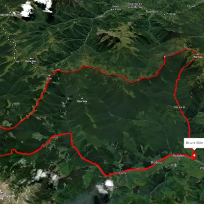 HardMulti-dayUnmarkedBohdan village loopvia Mount Pip Ivan Marmaroskyi, Mount Mika-Mare +2Elevation profile525–1 983 m79.4 kmascent 3 621 munder 1 km from Mount Korbul
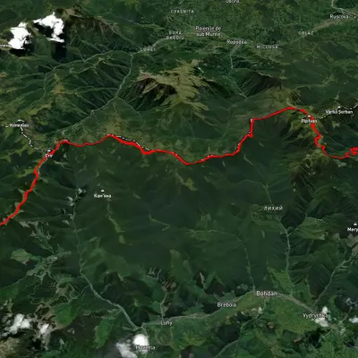 HardMulti-dayUnmarkedShybene village to Dilove villagevia Mount Pip Ivan Chornohirskyi, Mount Pip Ivan MarmaroskyiElevation profile355–2 010 m65 kmascent 3 203 munder 1 km from Mount Korbul
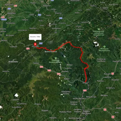 HardMulti-dayUnmarkedDilove village to Vorokhtavia Mount Pip Ivan Marmaroskyi, Mount Pip Ivan Chornohirskyi +2Elevation profile359–2 040 m88.1 kmascent 4 780 munder 1 km from Mount Korbul
Nearby attractions
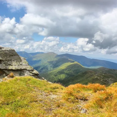 PeakMount Steavulaltitude 1 752 m · Marmarosh range1.3 km from Mount Korbul30 trails to the topSteavul (also known as Shchaul, Shaul) is a 1752-meter peak in the Ukrainian Carpathians, which lies in the Rakhiv district of the Transcarpathian region in the...
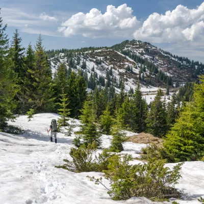 PeakMount Birsenscualtitude 1 670 m · Marmarosh range1.6 km from Mount Korbul30 trails to the topMount Byrsnesesku is a 1,670-meter peak in the Ukrainian Carpathians, located in the Rakhiv district of Zakarpattia region.
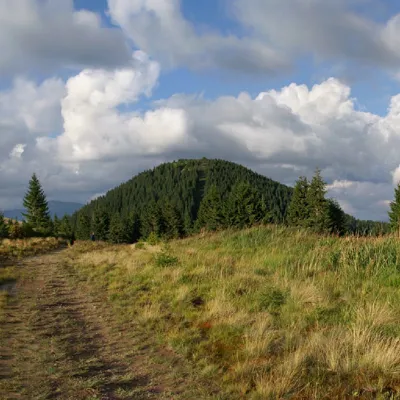 PeakMount Stihaltitude 1 653 m · Marmarosh range2.6 km from Mount Korbul31 trails to the topMount Stih is the peak of the Ukrainian Carpathians of the incredibly beautiful Marmarosh mountain range, which lies on the border of the Chyvchyn Mountains and the...