Mount Vitrova-Skala
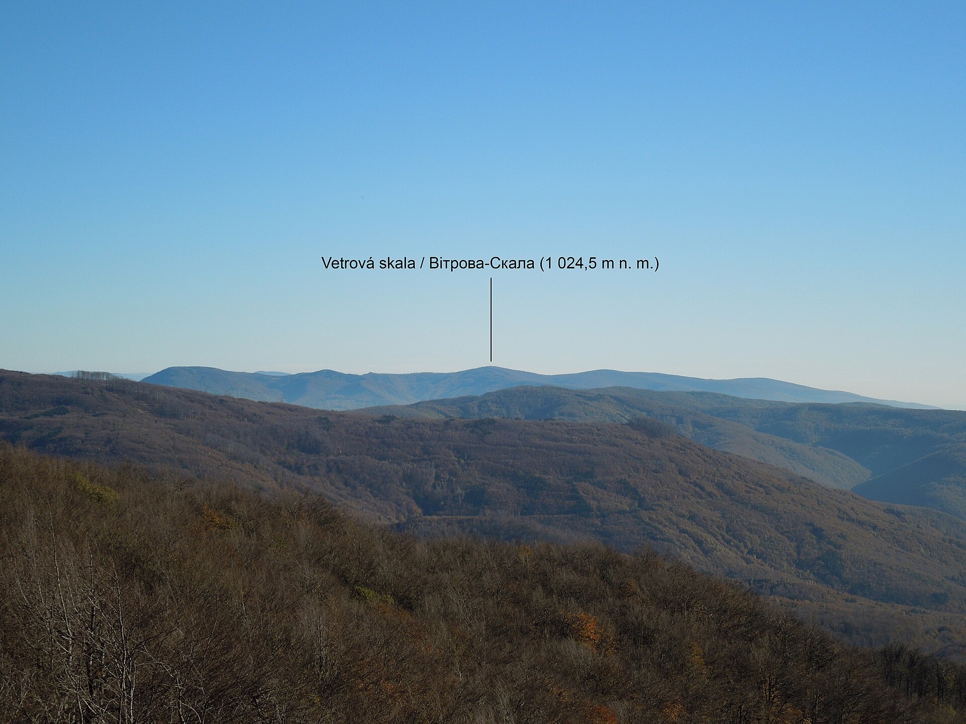
Vitrova-Skala (Slovak: Vetrová skala) is a 1,025 m (more precisely 1,024.5 m) mountain in the volcanic Vihorlat massif. It is the second-highest summit of the whole Vihorlat and the highest in its Ukrainian part. The mountain sits right on the Ukrainian–Slovak border: the Uzhhorod district of Zakarpattia Oblast on our side, the Sobrance district on the Slovak side. The nearest villages in our catalogue are Myrcha, Perechyn and Vorochovo, each about 9–9.5 km away as the crow flies.
The summit is densely forested, with rocks sticking out of the trees. The highest spot itself lies a few metres from the border line on the Slovak side, by border post No. 202; a wooden cross stands on the Ukrainian side of the top.
How to get there
There are no waymarked paths in the massif, and our site has no route to Vitrova-Skala yet. The way up follows unmarked forest roads from the surrounding villages. Before you go, be sure to check the border-zone rules: the summit lies right on the state border.
Water, shelter and safety
There is no water near the summit. Our map shows the nearest springs down in the valleys — near Perechyn (about 2 km), near Myrcha (about 2.7 km) and near Vorochovo (about 3.7 km). There are no huts or shelters nearby. Carry your passport, do not cross the border line and follow the instructions of border guards; in the dense, pathless forest navigate by a GPS track. In an emergency call 112 or 101 — contacts of the nearest units are on the mountain rescue page.
Interesting facts
- Vitrova-Skala has a prominence of 615 m, which ranks 15th among the mountains of Slovakia.
- Some old maps wrongly labelled the summit Popriečny; in fact Popriečny vrch is a neighbouring 994.5 m hill about 1.5 km to the south-west.
- The mountain belongs to the Slovak protected area “Morské oko”, part of the European Natura 2000 network; the Beňatinská voda stream rises on its slopes.
Photos: Milan Bališin, CC BY-SA 4.0 — Wikimedia Commons.
Location on the map
Comments
Places to stay nearby
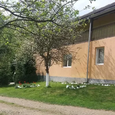 HomesteadHomestead "Ulich"18 km from Mount Vitrova-SkalaPoolSaunaNearby: Mt Judah Top 6.6 kmMt Yavirnyk 8.1 km4 trails
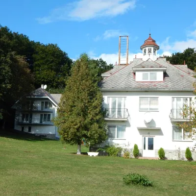 HotelHotel Complex "Babayevo" Mykulychyn6.4 km from Mount Vitrova-SkalaSaunaBBQWi‑FiNearby: Church of St. Augustine 3.0 kmNevytsky Castle 6.7 km4 trails
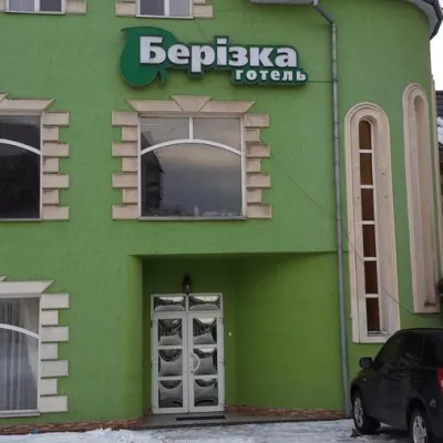 HotelHotel "Berizka" Perechyn9.3 km from Mount Vitrova-SkalaSaunaSPABBQNearby: Church of St. Augustine 400 mNevytsky Castle 7.7 km4 trails
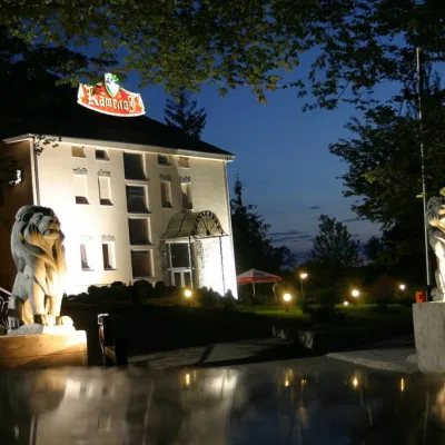 HotelHotel Complex "Camelot"11 km from Mount Vitrova-SkalaPoolSaunaSPANearby: Nevytsky Castle 300 mMt Antalovetska Polyana 6.3 km7 trails
 HotelHotel "Kilikia" Uzhhorod16 km from Mount Vitrova-SkalaPoolSaunaBreakfastNearby: Uzhhorod Castle 2.3 kmUzhhorod synagogue 2.4 km
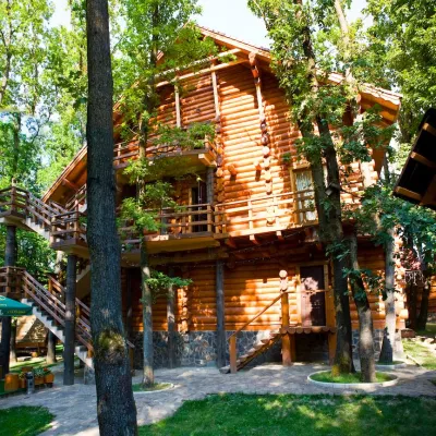 HotelHotel and Entertainment Complex "Praha Wood House" Uzhhorod16 km from Mount Vitrova-SkalaHot tubPoolSaunaNearby: Uzhhorod Castle 3.6 kmUzhhorod synagogue 3.1 km
Trails nearby
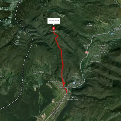 EasyOne-dayUnmarkedKamianytsia village Mount PlishkaElevation profile141–695 m7.2 kmascent 572 m≈ 3 h walking5.6 km from Mount Vitrova-Skala
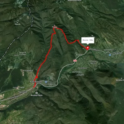 ModerateOne-dayUnmarkedKamianytsia village to Perechyn villagevia Mount PlishkaElevation profile140–694 m12.2 kmascent 601 m≈ 4.5 h walking5.6 km from Mount Vitrova-Skala
 ModerateTwo-dayUnmarkedKamianytsia village loopvia Mount PlishkaElevation profile129–687 m15.4 kmascent 677 m≈ 5 h walking5.7 km from Mount Vitrova-Skala
Nearby attractions
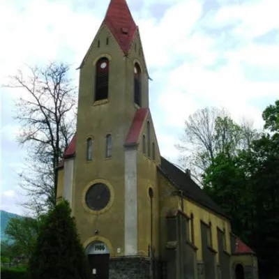 ArchitectureChurch of St. Augustine, Perechyn9.1 km from Mount Vitrova-SkalaThe city of Perechyn was mentioned in historical documents, lists of possessions, and written works as early as 1266, 1349, and 1425.
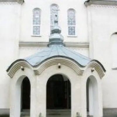 ChurchGreek Catholic Church of St. Nicholas, Perechyn9.4 km from Mount Vitrova-SkalaNicholas is located in the center of Perechyn. The church was founded in the XVIII century.
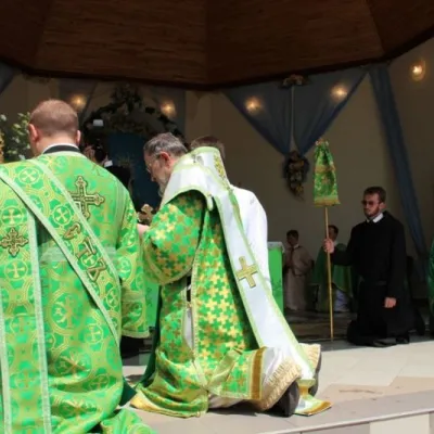 SightBasilian Monastery of St. Nicholas, Male Berezne11 km from Mount Vitrova-SkalaThe monastery is located in the village of Malyi Bereznyi, on the slope of Mount Dilok, near the Uzh River.