Mount Rotundul
Rotundul is a 1,568 m mountain in the Chyvchyn Mountains, part of the Marmarosh Massif. The summit lies in the northern part of the Rotundul ridge of the same name, in the Verkhovyna district of Ivano-Frankivsk Oblast, south-east of the village of Burkut; the nearest settlements are Burkut and Sarata. The nearest village in our catalogue is Holoshyna, about 8 km away as the crow flies.
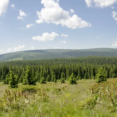
The top is treeless, the slopes are steep (especially to the north-east) and the foot of the mountain is forested. The northern and eastern slopes drop into the Chornyi Cheremosh valley. West of the summit stands Mount Pirie (1,574 m), to the south-west Koman (1,723 m); our site also has pages on neighbouring Pryluchna (about 3.2 km) and Purul (about 3.5 km).
How to get there
Our site has no marked route to Rotundul yet. This is a remote corner of the Hutsul region: you have to walk up from the Chornyi Cheremosh valley, from the Burkut or Sarata side, on forest roads and unmarked mountain meadows. Plan a full day and carry an offline map and a GPS track.
Water, shelter and safety
Our map shows the “Hutsul” spring about 2 km from the summit and a hut near Holoshyna about 2.3 km away. Further on, 3–4 km away, there are springs below Pryluchna and Purul, a hut on Polonyna Hlystovata and a shelter on Polonyna Baltahul; the hut on Polonyna Hadzhuhy is in ruins. The condition of most of them is unknown, so bring water. Weather in the Chyvchyns is changeable and you will meet few people: tell someone your route and return time. In an emergency call 112 or 101 — contacts of the nearest units are on the mountain rescue page.
Comments
Trails nearby
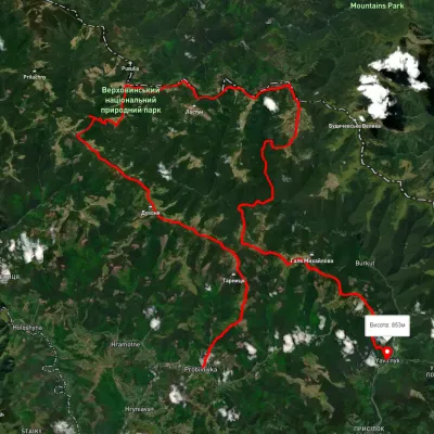 HardMulti-dayUnmarkedProbiinivka village to Shybene villagevia Mount Tarnytsia, Mount Pnivie +1Elevation profile793–1 749 m68.4 kmascent 2 917 m1.3 km from Mount Rotundul
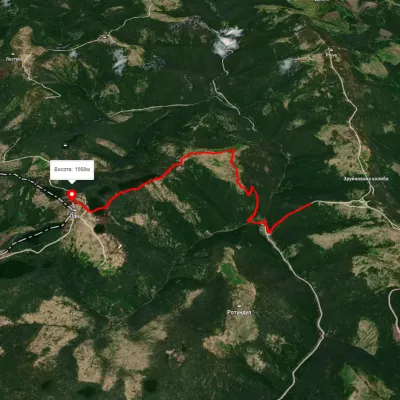 EasyOne-dayMarkedPirye Paukivkavia CheremoshElevation profile1 229–1 566 m6.3 kmascent 462 m≈ 2.5 h walking1.6 km from Mount Rotundul
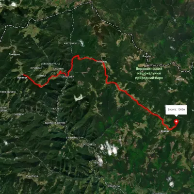 HardMulti-dayUnmarkedMount Yarovytsia to the Holy Trinity Monasteryvia the Pryluchnyi ridge, Mount PnivieElevation profile969–1 642 m32.5 kmascent 1 478 m≈ 11 h walking2.6 km from Mount Rotundul
Nearby attractions
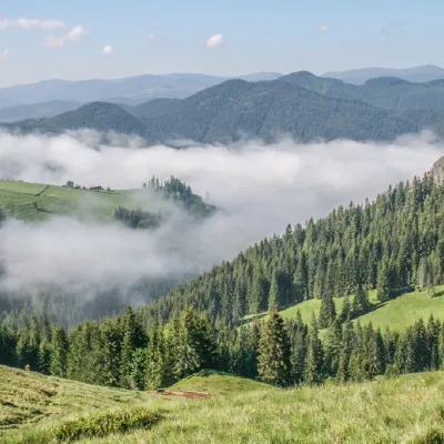 PeakMount Pryluchnaaltitude 1 646 m · Chyvchyny range3.2 km from Mount RotundulMount Pryluchna is a 1,646-meter peak in the Ukrainian Carpathians. It is located on the border of two ranges - the Chyvchyn Mountains(Marmarosh mountain range) and...
 PeakMount Purulaltitude 1 616 m · Marmarosh range3.5 km from Mount RotundulPurul (translated from Romanian as "pure") is a 1616-meter peak in the Ukrainian Carpathians, which is located in the Marmarosh mountain range within the Chivchyn...
 PeakMount Komanaltitude 1 723 m · Chyvchyny range4.8 km from Mount RotundulMount Koman (also called Komen and Komyn) is a peak in the Chyvchyny Mountains (part of the Marmarosh mountain range in the Ukrainian Carpathians).