Mount Velykyi Kanusiak
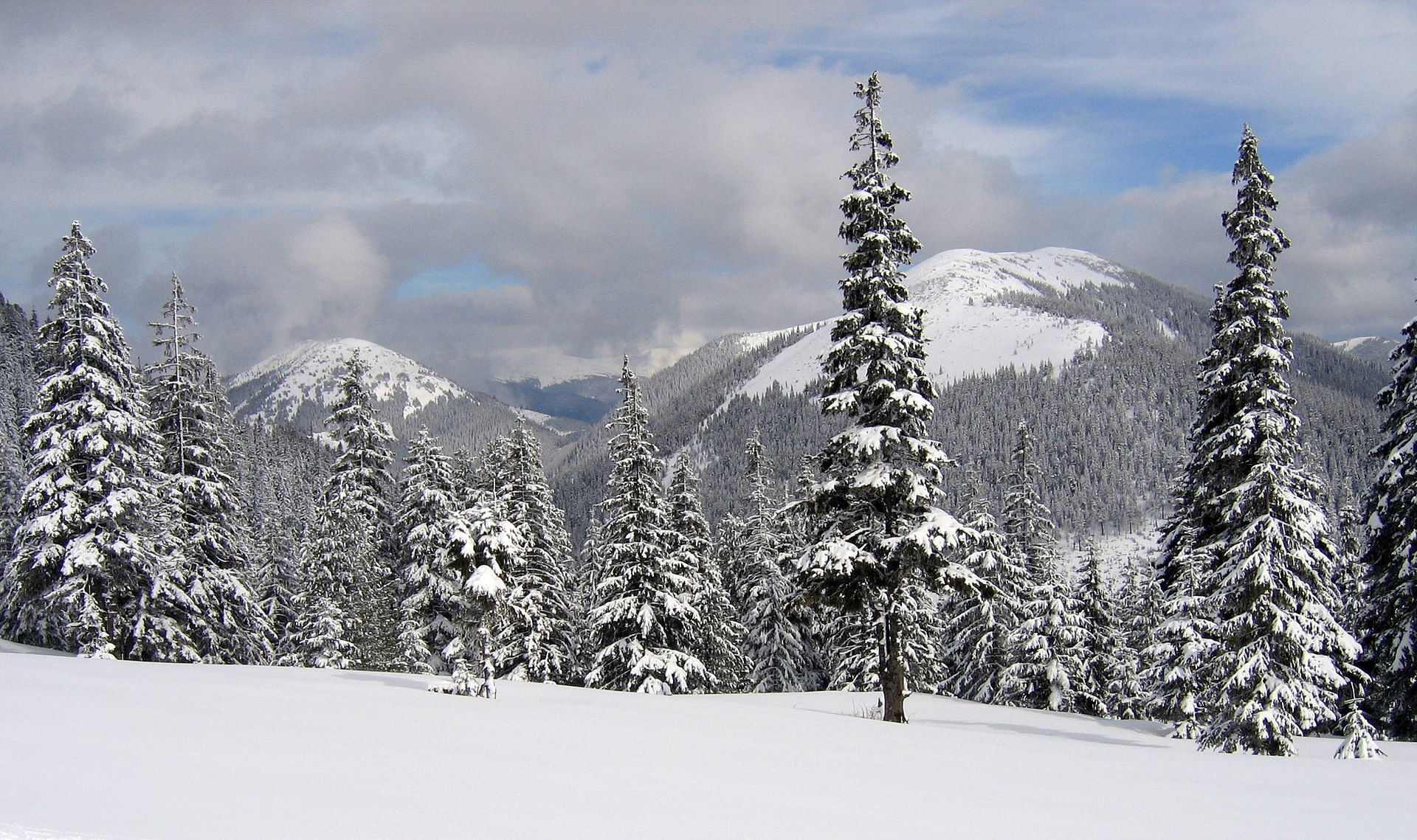
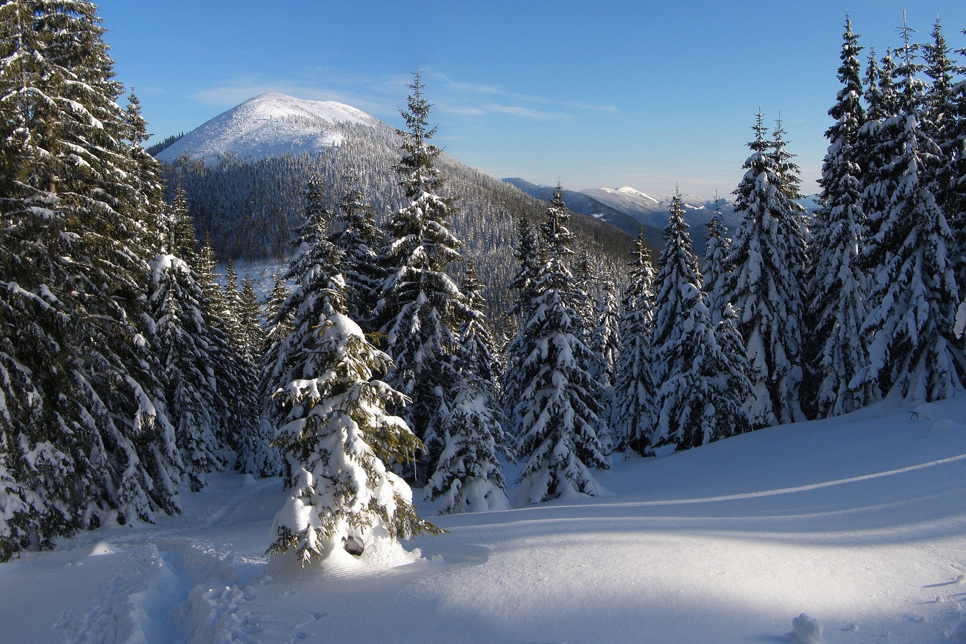
Velykyi Kanusiak (Great Kanusiak) is a 1,642 m summit in the Gorgany. It lies in the Kalush district of Ivano-Frankivsk Oblast; the nearest settlement is the village of Osmoloda, about 5.7 km from the summit as the crow flies.
The mountain is cone-shaped. Up to about 1,450 m its slopes are covered with spruce forest; higher up there are stone screes and thickets of dwarf mountain pine (zherep). Velykyi Kanusiak stands between the Petros river valley and the Zghonyliv and Kotelets streams. To the north-east a saddle links it with Malyi Kanusiak (1,620 m). It is surrounded by well-known Gorgany summits: Hrofa (1,748 m) to the north-west, Parenky (1,735 m) to the south-west, Studenets to the south and Yalova Klyva (1,562 m) to the south-east.
How to get there
There are no paths up Velykyi Kanusiak, and our site does not have a route to the summit yet. It is a mountain for experienced hikers who can navigate without waymarks: the logical approach is from Osmoloda along the Petros valley, and the last part goes through dwarf pine and scree. There is a good view of both Kanusiaks from the Plistse pasture.
Water, shelter and safety
Our map shows no springs or huts near the summit; fill up from streams in the valley and carry water. The easiest places to stay are Osmoloda or a tent below the tree line. Dwarf pine thickets are very hard going and Gorgany screes are loose and slippery after rain, so allow twice the time the map suggests and never go alone. Carry an offline map with GPS and tell someone your route. In an emergency call 112 or 101; contacts of the nearest units are on our mountain rescue page.
Photos: Rbrechko, CC BY-SA 4.0; Tanya Troyan, CC BY-SA 4.0 — Wikimedia Commons.
Location on the map
Comments
Places to stay nearby
 Homestead"U Davidka i Matviika"5.7 km from Mount Velykyi KanusiakFireplaceKitchenParkingNearby: Mt Petros Gorgansky 4.6 kmMt Studenets 3.8 km2 trails
 HomesteadHomestead "Faini Karpaty" Osmoloda5.7 km from Mount Velykyi KanusiakSaunaBBQKitchenNearby: Mt Petros Gorgansky 4.6 kmMt Studenets 3.8 km2 trails
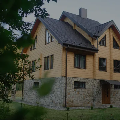 HomesteadHomestead "Albertville" Osmoloda5.8 km from Mount Velykyi KanusiakFireplaceKitchenParkingNearby: Mt Petros Gorgansky 4.8 kmMt Studenets 4.0 km2 trails
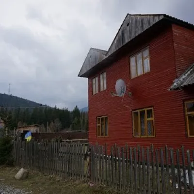 HomesteadHomestead "Arnika" Osmoloda6.4 km from Mount Velykyi KanusiakSaunaBBQKitchenNearby: Trout farm in Osmoloda 1.3 kmMt Kin Grofetsky 5.2 km15 trails
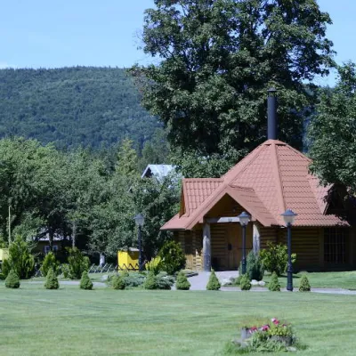 HomesteadComplex "Hants" Osmoloda6.8 km from Mount Velykyi KanusiakHot tubPoolSaunaNearby: Trout farm in Osmoloda 1000 mMt Kin Grofetsky 5.6 km15 trails
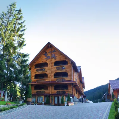 HotelHotel and Restaurant Complex "Arnika" Synevyrska Polyana19 km from Mount Velykyi KanusiakHot tubPoolSaunaNearby: Ozerna Mountain 2.9 kmPolonyna Hycha 8.5 km6 trails
Trails nearby
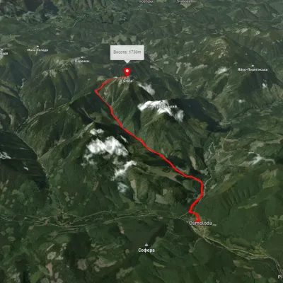 ModerateOne-dayUnmarkedOsmoloda village Mount GrofaElevation profile713–1 733 m10.9 kmascent 1 135 m≈ 5 h walking1.8 km from Mount Velykyi Kanusiak
 HardTwo-dayUnmarkedOsmoloda village loopvia Mount GrofaElevation profile696–1 785 m23.9 kmascent 1 204 m≈ 8.5 h walking1.8 km from Mount Velykyi Kanusiak
 ModerateOne-dayMarkedOsmoloda Mount Grofavia Kotelets, PlistseElevation profile763–1 732 m9.8 kmascent 1 282 m≈ 5 h walking1.8 km from Mount Velykyi Kanusiak
Nearby attractions
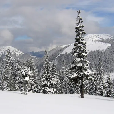 PeakMount Malyi Kanusiakaltitude 1 620 m · Gorgany range1.8 km from Mount Velykyi KanusiakMalyi Kanusiak is a 1,620 m peak of the Gorgany range in the Kalush district of Ivano-Frankivsk Oblast.
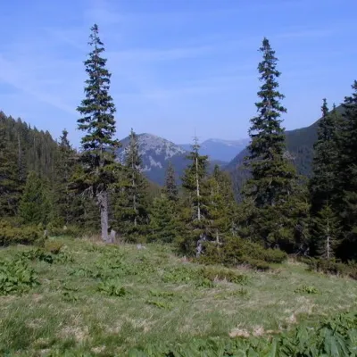 Mountain meadowPolonyna Plisce2.6 km from Mount Velykyi KanusiakThere are many mountain meadows in the Carpathians, but Plitse stands out from the rest. The "feature" of the Plitse meadow is that the first tourist shelter was built...
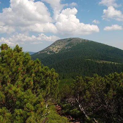 PeakMount Grofaaltitude 1 748 m · Gorgany range3.1 km from Mount Velykyi Kanusiak14 trails to the topMount Hrofa (height - 1748 m) is a well-known peak among lovers of the Ukrainian Carpathians, located in the Gorgan Mountains within the landscape reserve of the same...