Mount Tataruka
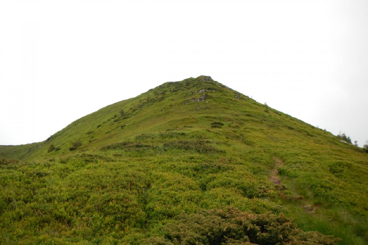
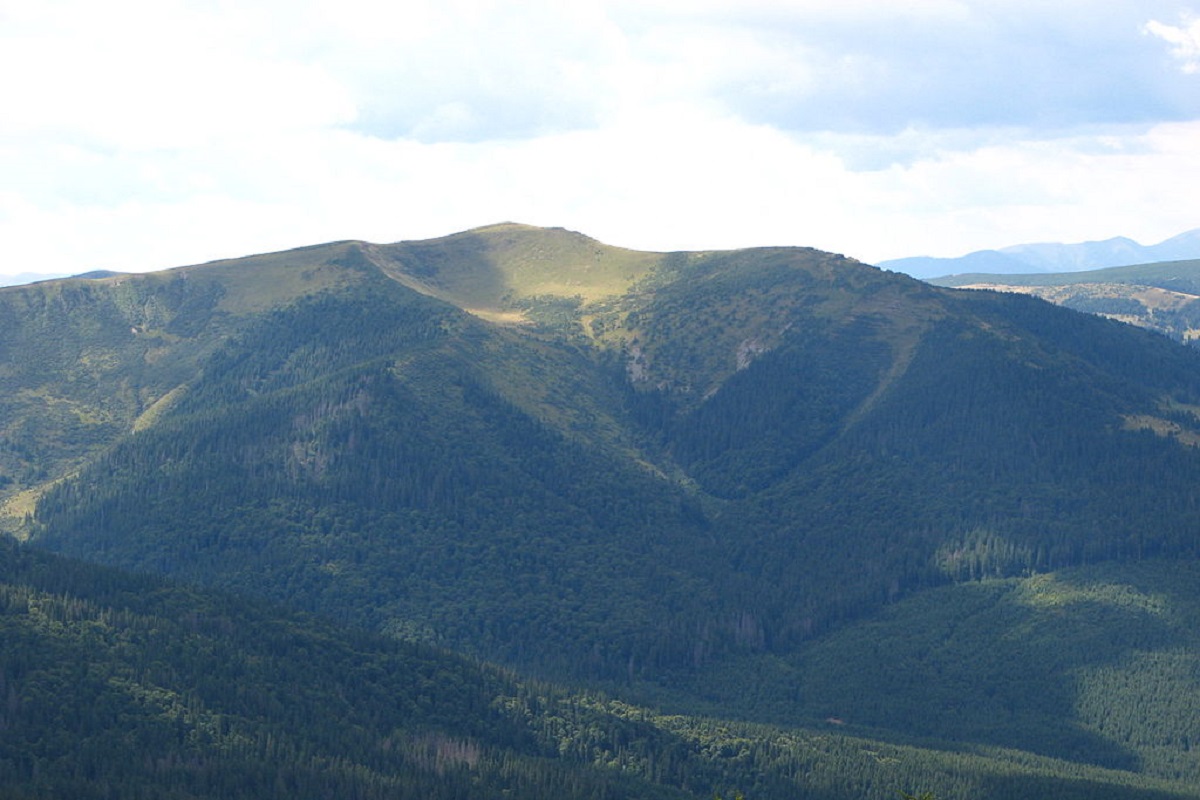
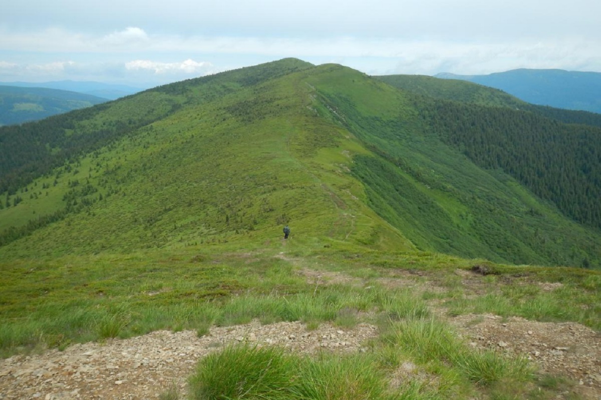
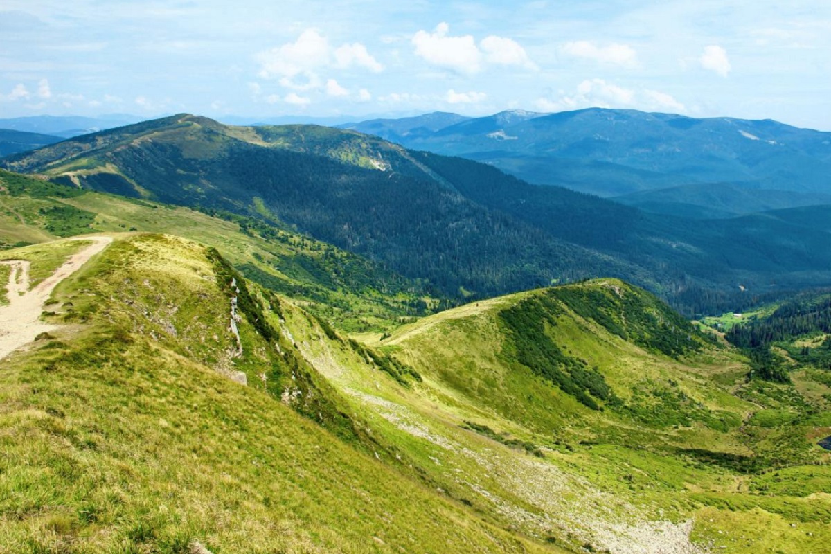
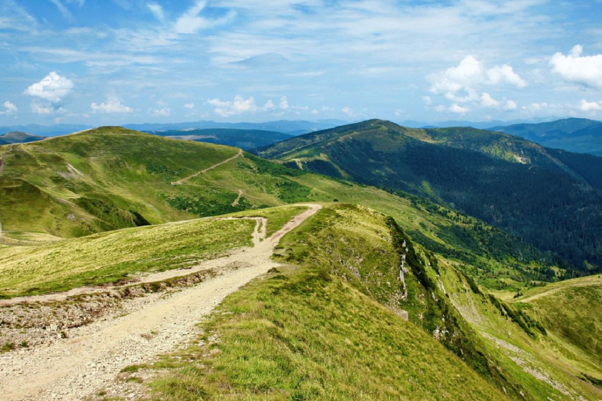
Mount Tataruka is the peak of the Ukrainian Carpathians, located in the northern part of the Svydovets mountain range. It is located on the border of two districts of Zakarpattia region - Tyachiv and Rakhiv.
The height of Tatarukha is 1707 meters (according to other information, 1711 meters).
The peak and the summit part of the mountain are covered with grasses, blueberry and alpine pine thickets. The slopes in the eastern direction are very steep and difficult to pass, while in the southern direction they are gentler.
From the south, Tataruky is adjacent to a bridge that leads to Mount Troiaska. To the west of the peak is Mount Pidpula, to the southeast - Mount Dogyaska and the high-mountainous Lake Apshynets, located at an altitude of 1487 meters above sea level.
On the eastern slopes of the peak is the Apshynets Nature Reserve, a hydrological reserve of national importance, and on the northeastern slopes are the sources of the Black Tisza River.
A popular tourist route passes through Mount Tataruk, leading from Mount Bratkivska through the Okole Pass to the main Svydivets ridge (Mount Troiaska).
The nearest settlement is the village of Chorna Tysa (Rakhiv district , Zakarpattia region).
Location on the map
Water and shelter nearby
- Spring below Mount Tataruka (4)470 m · Not verified · 1 571 m
- Spring below Mount Tataruka (8)1.2 km · Not verified · 1 282 m
- Hut on Polonyna Ripta Apshynetska1.2 km · Not verified · 1 376 m
- Spring below Mount Tataruka (5)1.2 km · Not verified · 1 372 m
- Spring below Mount Tataruka (9)1.2 km · Not verified · 1 283 m
- Spring below Mount Tataruka (6)1.2 km · Not verified · 1 369 m
- Spring below Mount Tataruka (7)1.3 km · Not verified · 1 359 m
- Shepherds' hut at Turbatska Poliana1.4 km · Standing · 1 249 m
- Hut at Turbatska Poliana1.5 km · Not verified · 1 352 m
- Spring below Mount Tataruka (3)1.5 km · Not verified · 1 320 m
- Spring below Mount Tataruka (11)1.7 km · Not verified · 1 258 m
- Spring below Mount Tataruka (10)1.7 km · Not verified · 1 243 m
- Spring below Mount Troiaska (8)1.7 km · Not verified · 1 232 m
- Spring below Mount Tataruka1.8 km · Weak flow · 1 286 m
- Spring below Mount Tataruka (2)1.9 km · Not verified · 1 274 m
- Spring below Mount Troiaska (3)2.1 km · Not verified · 1 538 m
Comments
Places to stay nearby
All stays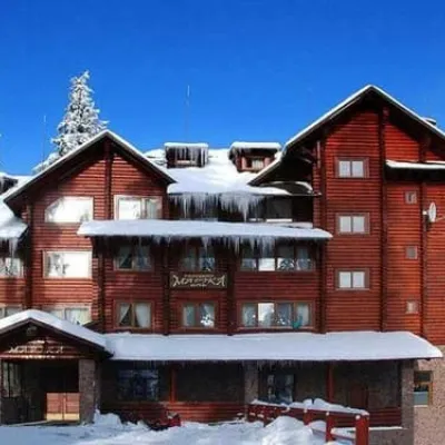 HotelMarikaDrahobrat9.1 km from Mount TatarukaParkingPetsNearby: Polonyna Drahobrat 700 mMt Stih 1.0 km9 trailsfrom 4 080 UAH per night
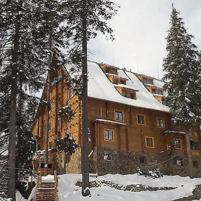 HotelVotavilyuDrahobrat9.1 km from Mount TatarukaParkingWi‑FiNearby: Polonyna Drahobrat 600 mMt Stih 1.0 km9 trailsfrom 1 850 UAH per night
 HotelVershyna KarpatDrahobrat9.1 km from Mount TatarukaSaunaParkingWi‑FiNearby: Polonyna Drahobrat 500 mMt Stih 1.1 km9 trailsfrom 2 200 UAH per night
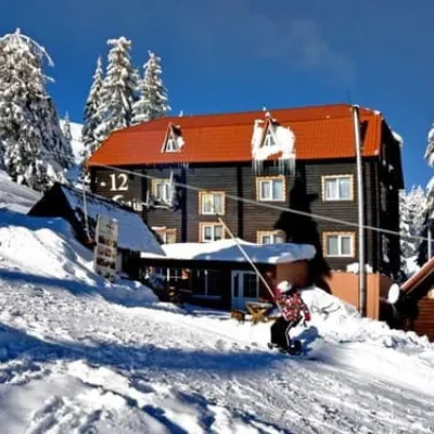 Hotel12 MisyatsivDrahobrat9.2 km from Mount TatarukaSaunaWi‑FiNearby: Polonyna Drahobrat 700 mMt Stih 1.1 km9 trailsfrom 1 320 UAH per night
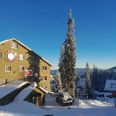 HotelKazka KarpatDrahobrat9.2 km from Mount TatarukaParkingWi‑FiNearby: Polonyna Drahobrat 600 mMt Stih 1.1 km9 trailsfrom 3 600 UAH per night
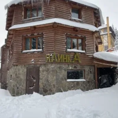 HotelYalynkaDrahobrat9.2 km from Mount TatarukaHot tubSaunaBBQNearby: Polonyna Drahobrat 500 mMt Stih 1.2 km9 trailsfrom 1 307 UAH per night
Trails via Mount Tataruka
All 17 HardMulti-dayYasinia to Kvasy villagevia Mount Bratkivska, Mount Troiaska +1Elevation profile535–1 883 m60.3 kmascent 3 192 m
 HardMulti-dayYasinia to Kvasy villagevia Mount Chorna Kleva, Mount Bratkivska +2Elevation profile535–1 883 m68.9 kmascent 3 829 m
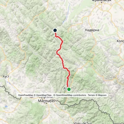 HardMulti-dayRakhiv to Osmoloda villagevia the Svydovets ridge, the Bratkivskyi ridge +2Elevation profile448–1 883 m86.8 kmascent 3 886 m
Nearby attractions
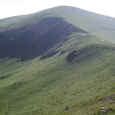 PeakMount TrojaskaChorna Tysaaltitude 1 702 m · Svydovets range2 km from Mount Tataruka37 trails to the topThe mountain is located in Rakhiv district of Zakarpattia region within the central part of the Svydovets mountain range.
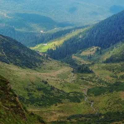 Mountain meadowPolonyna ApshynetsChorna Tysaaltitude 1 200 m · Svydovets range2.2 km from Mount TatarukaApshynets polonyna (Apshyniaska) is a pasture in the upper reaches of the Apshynets stream on the northern slopes of the main Svydovets ridge, in the Rakhiv district...
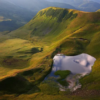 LakeLake Gereshaska (Dogyaska)Yasinya3.8 km from Mount TatarukaGerashaska (another name - Dogyaska ) is a high-mountain lake in the Ukrainian Carpathians, within the Rakhiv district of Zakarpattia region.
Craft nearby
All craft places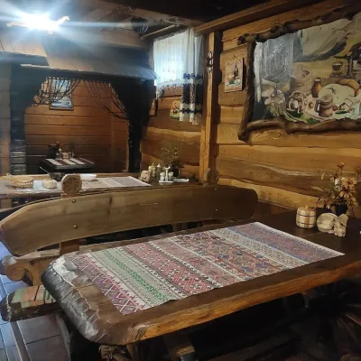 Koliby & Hutsul cuisineU Rizbaria Café, YasiniaYasinya16 km from Mount TatarukaU Rizbaria Café (“At the Woodcarver’s”) in Yasinia is a small Hutsul place serving home cooking that travellers usually find by word of mouth.
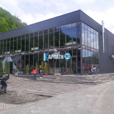 Craft beer & breweriesTsypa Brewery, KvasyKvasy19 km from Mount TatarukaThe Tsypa Hutsul craft brewery in Kvasy is probably the best-known brewery in the Ukrainian Carpathians.
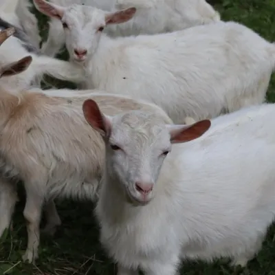 Eco farmsRozental Eco-Farm and Cheese Dairy, KvasyKvasy20 km from Mount TatarukaBeer and cider are brewed here, sheep's-milk ice cream is made, and in the Vaskul area above the village sits the Rozental eco-farm and cheese dairy.
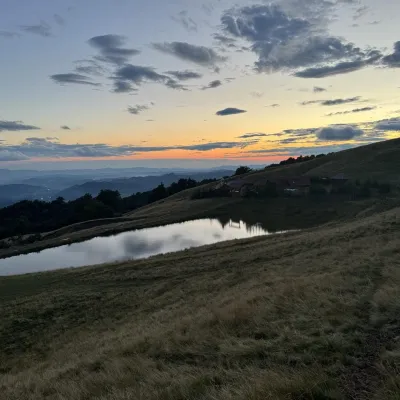 Cheese dairies & pasturesSheep's Cheese Masterclass on the Apetska Polonyna, VodytsiaVodytsia20 km from Mount TatarukaThe Apetska polonyna is a broad high-mountain pasture on the southern slopes of the Svydovets range, below Mount Apetska (1,512 m).
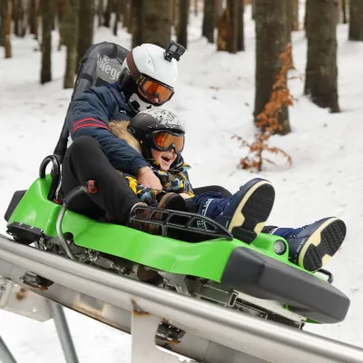 Adventures & attractionsSpeed Fun rodelbahn (mountain coaster), BukovelPolianytsia (Bukovel)20 km from Mount TatarukaSpeed Fun rodelbahn is a rail-mounted mountain coaster in Bukovel, Ukraine's first all-weather ride of its kind, built by the German company Wiegand.
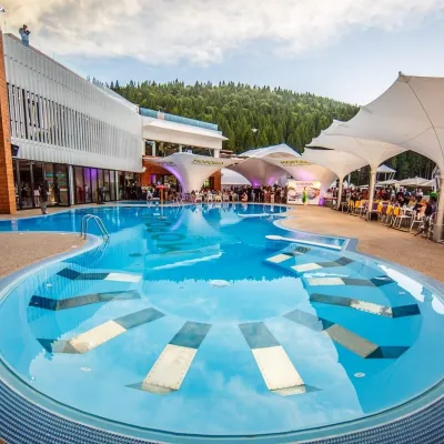 Water parks & thermal poolsVODA club spa and beach club, BukovelPolianytsia (Bukovel)20 km from Mount TatarukaVODA club is a large all-season pool, spa and beach club complex on the shore of Lake Molodosti in Bukovel (Polianytsia village).
