Mount Apetska
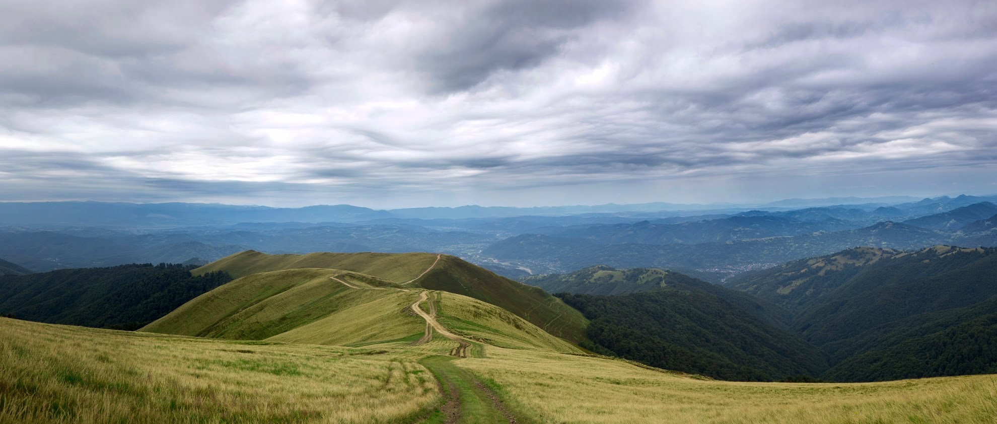
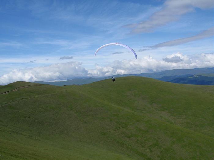
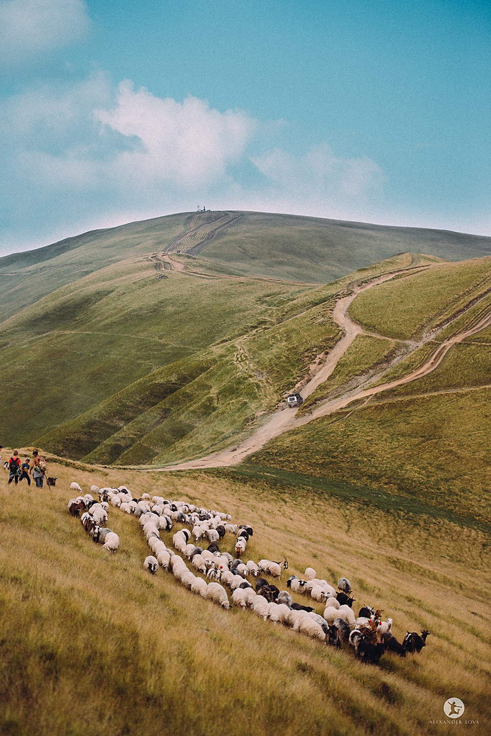
Apetska is a peak in the Ukrainian Carpathians, on the border of the Tyachiv and Rakhiv districts of Zakarpattia region.
Apetska Mountain is located to the east of the village of Dubove (about 8 km to the top).
Some people refer to Apetska as part of the Svydovets mountain range. However, the mountain belongs to the so-called island mountains, i.e. mountains that are not connected to any ridge or mountain range.
Apetska has several peaks, the highest of which are 1511 and 1512 meters. In plan (top view), the mountain somewhat resembles a giant letter X with ramens up to 3 km long. The name of the mountain comes from the Romanian language and means "water" (apă is Romanian for water). Apetska is named so for a reason, because there are many springs on its slopes that give rise to streams - tributaries of such rivers as Teresva, Velykyi Plavuts, Kraina Rika, and others. Up to an altitude of about 1400 meters, the mountain is covered with coniferous and beech forests, and above that there are meadows with blueberry fields.
In recent years, a road has been built to Apets'ka, which can be used to reach its peaks even by car or motorcycle. Thanks to this, the mountain is becoming an increasingly attractive destination for weekend trips. From Apetska, in clear weather, you can see Mount Hoverla (38 km away) and part of the city of Khust (about 50 km away).
On the eastern slopes of the peak, the Skurtul stream, the right tributary of the Mala Shopurka, originates.
Comments
Travellers’ experience: reports, tips, questions.
No one has reported on this trail yet. Been here lately? Tell others what it is like now.
Location on the map
Water and shelter nearby
- Spring below Mount Apetska1.3 km · Not verified · 1 380 m
- Spring below Mount Apetska (2)1.6 km · Not verified · 1 300 m
- Spring below Mount Apetska (4)1.8 km · Not verified · 1 283 m
- Hut below Mount Apetska1.9 km · Not verified · 1 224 m
- Spring below Mount Apetska (5)2.1 km · Not verified · 1 269 m
- Mountain shelter below Mount Apetska2.3 km · Not verified · 1 255 m
- Spring below Mount Apetska (3)2.4 km · Not verified · 1 150 m
- Hut (Krasna)2.5 km · Not verified · 1 234 m
Wildlife nearby
AllPlaces to stay nearby
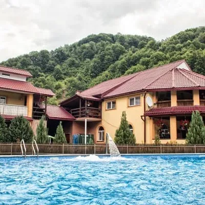
All stays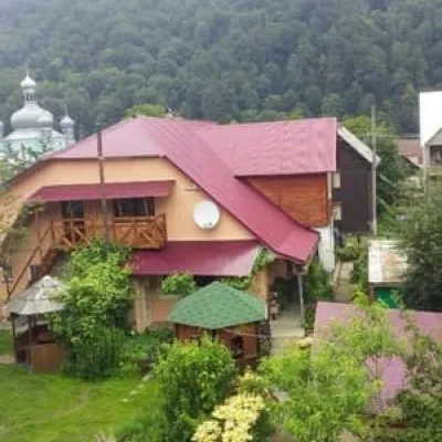 HotelU Halyny ta YosypaTyachiv16 km from Mount ApetskaBBQParkingWi‑FiNearby: Mt Klymova 5.3 kmMt Svydova 7.5 km2 trailsfrom 450 UAH per night
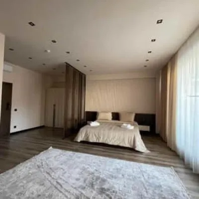
 HotelValyloTyachiv18 km from Mount ApetskaHot tubSaunaBBQfrom 790 UAH per night
 HotelGarden PlazaTyachiv18 km from Mount ApetskaParkingWi‑FiKidsfrom 350 UAH per night
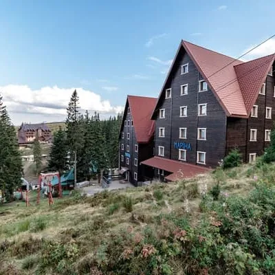 HotelMarinaDrahobrat19 km from Mount ApetskaSaunaBreakfastBBQNearby: Polonyna Drahobrat 700 mMt Stih 1.1 km9 trailsfrom 1 000 UAH per night
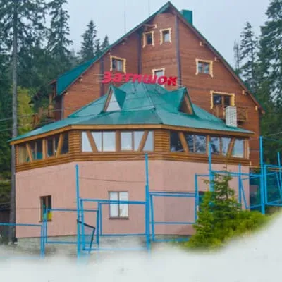 HotelZatyshokDrahobrat19 km from Mount ApetskaHot tubSaunaSPANearby: Polonyna Drahobrat 700 mMt Stih 1.1 km9 trailsfrom 1 760 UAH per night
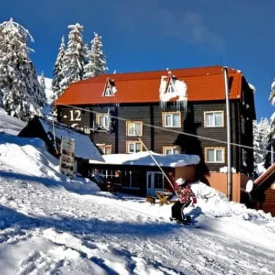 Hotel12 MisyatsivDrahobrat19 km from Mount ApetskaSaunaWi‑FiNearby: Polonyna Drahobrat 700 mMt Stih 1.1 km9 trailsfrom 1 320 UAH per night
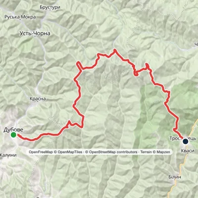
Trails via Mount Apetska
All 2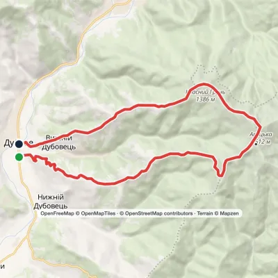
Nearby attractions
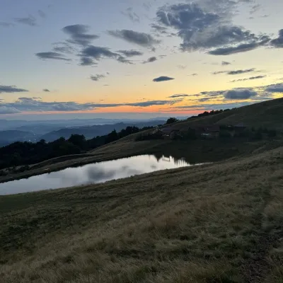 Cheese dairies & pasturesSheep's Cheese Masterclass on the Apetska Polonyna, VodytsiaVodytsia3.1 km from Mount ApetskaThe Apetska polonyna is a broad high-mountain pasture on the southern slopes of the Svydovets range, below Mount Apetska (1,512 m).
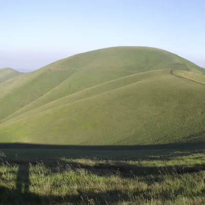 PeakMount TempaUst-Chornaaltitude 1 634 m · Svydovets range10 km from Mount Apetska11 trails to the topTempa is a 1,634-meter peak in the western part of the Svydovets mountain range of the majestic Ukrainian Carpathians, located in the Tyachiv district of Zakarpattia...
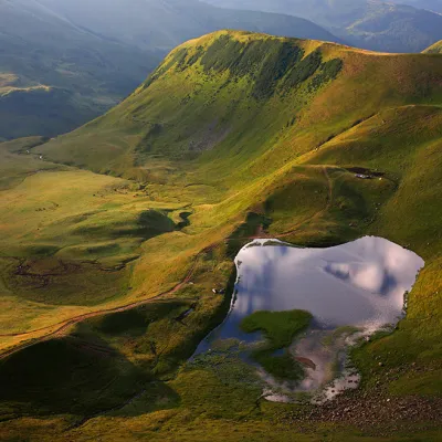 LakeLake Gereshaska (Dogyaska)Yasinya · Svydovets16 km from Mount Apetska1 577 m above sea levelarea 1.2 haup to 1.2 m deepGerashaska (another name - Dogyaska ) is a high-mountain lake in the Ukrainian Carpathians, within the Rakhiv district of Zakarpattia region.
Craft nearby
All craft places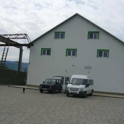 Craft producersProdukty Karpat meat producer, NeresnytsiaNeresnytsia18 km from Mount ApetskaProdukty Karpat ("Carpathian Products") is a family farm and sausage maker in the village of Neresnytsia in the Tiachiv area, in the Teresva river valley.
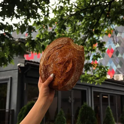 Craft producersDU-MEN craft bakery, RakhivRakhiv21 km from Mount ApetskaDU-MEN (DU•MEN.craft bakery) is a craft bakery in Rakhiv which, in its own words, has been baking “bread with a history” for twelve years.
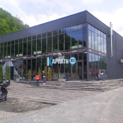 Craft beer & breweriesTsypa Brewery, KvasyKvasy21 km from Mount ApetskaThe Tsypa Hutsul craft brewery in Kvasy is probably the best-known brewery in the Ukrainian Carpathians.
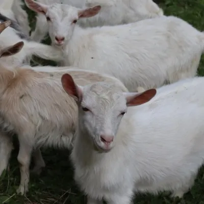 Eco farmsRozental Eco-Farm and Cheese Dairy, KvasyKvasy22 km from Mount ApetskaBeer and cider are brewed here, sheep's-milk ice cream is made, and in the Vaskul area above the village sits the Rozental eco-farm and cheese dairy.
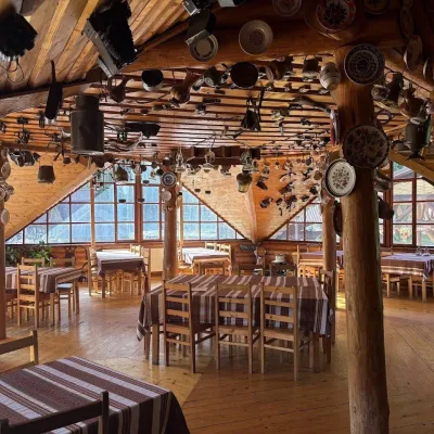 Koliby & Hutsul cuisineKolyba Museum, DiloveDilove28 km from Mount ApetskaThe Kolyba Museum in Dilove is a timber restaurant serving Hutsul food right on the H09 highway, a few steps from the marker of the geographical centre of Europe in...
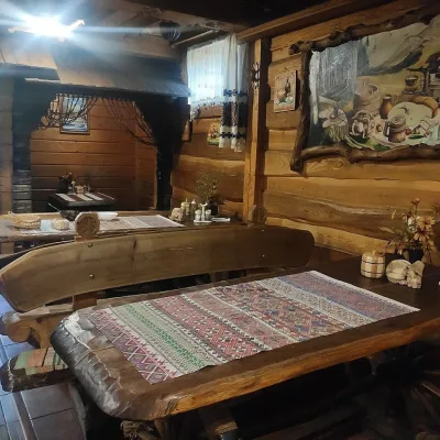 Koliby & Hutsul cuisineU Rizbaria Café, YasiniaYasinya29 km from Mount ApetskaU Rizbaria Café (“At the Woodcarver’s”) in Yasinia is a small Hutsul place serving home cooking that travellers usually find by word of mouth.
