Małe Ciche
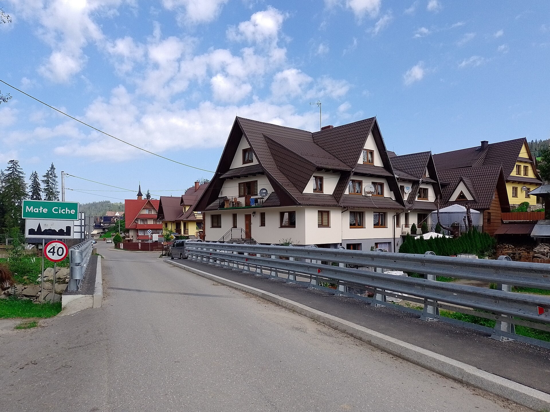
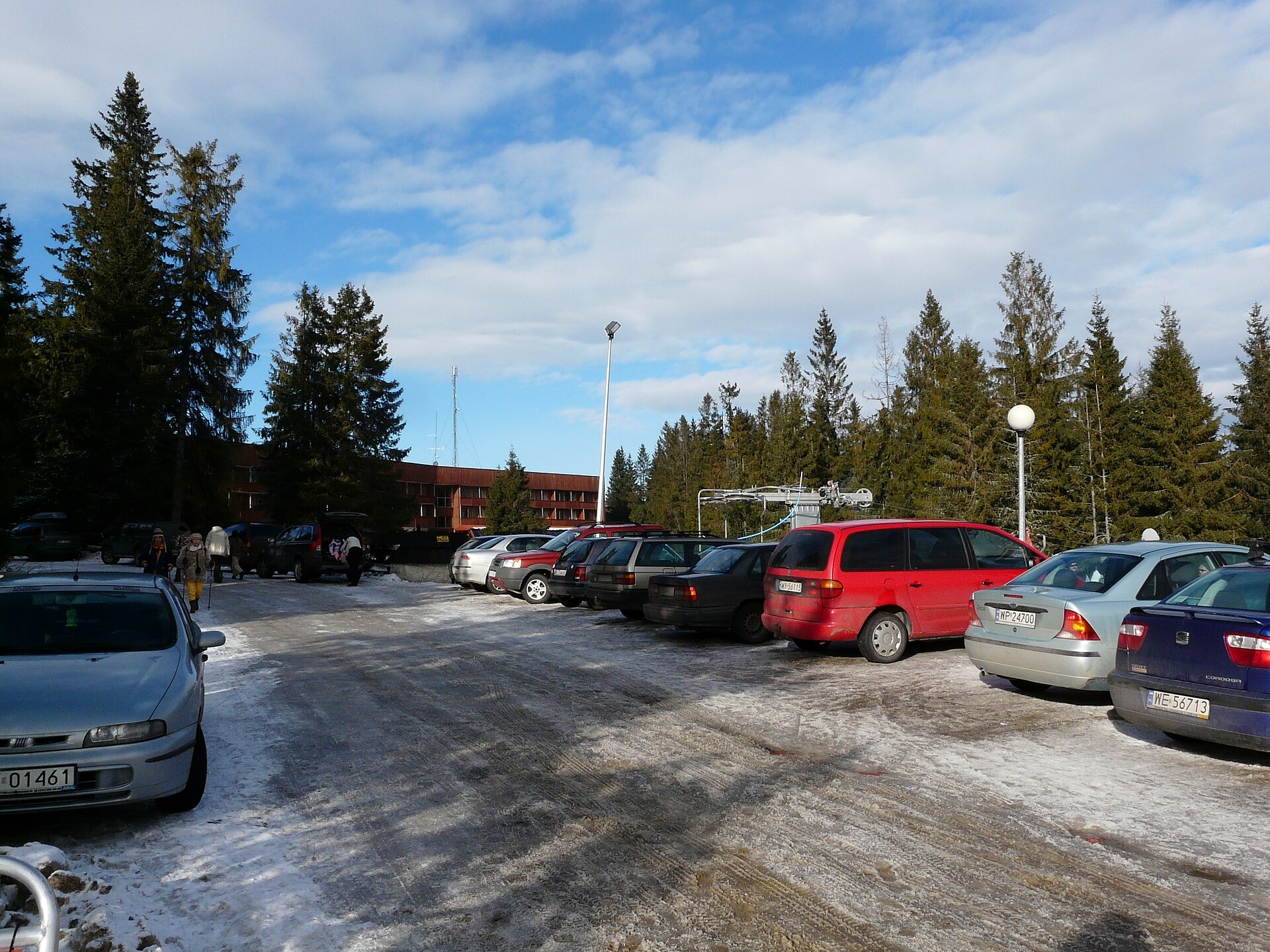
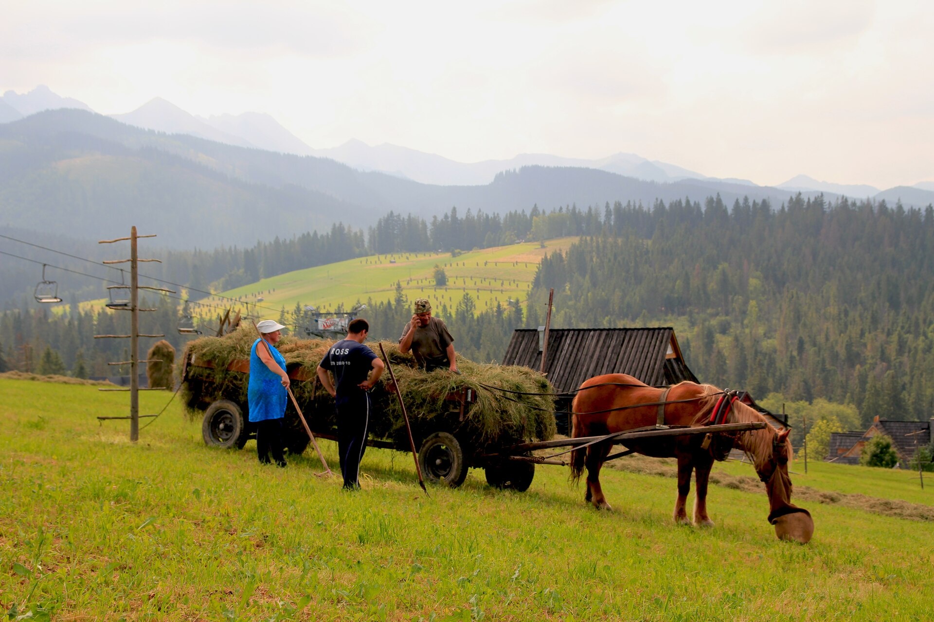
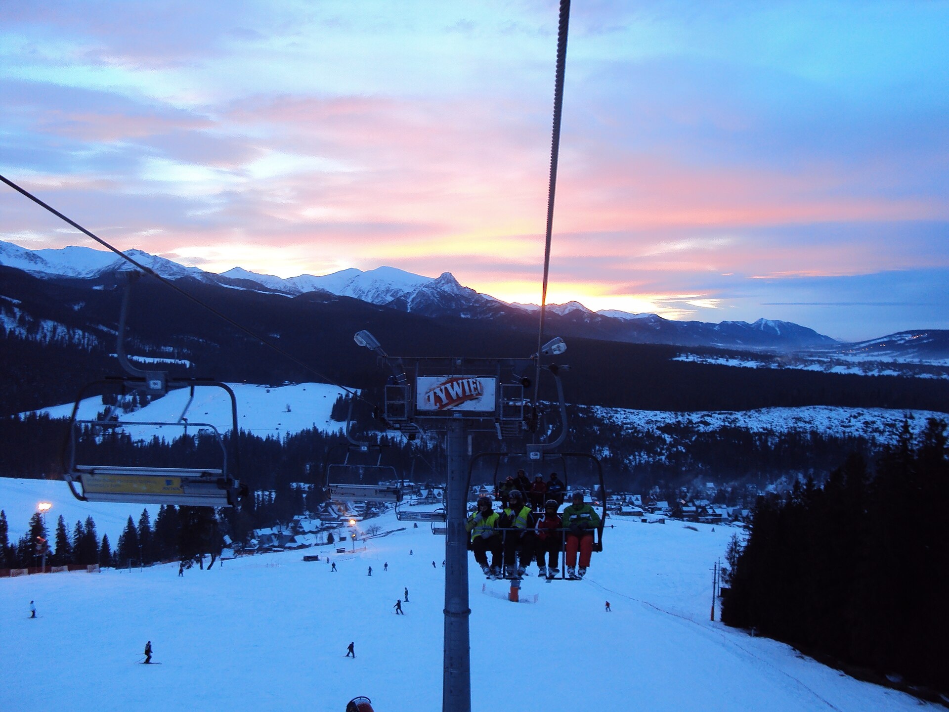
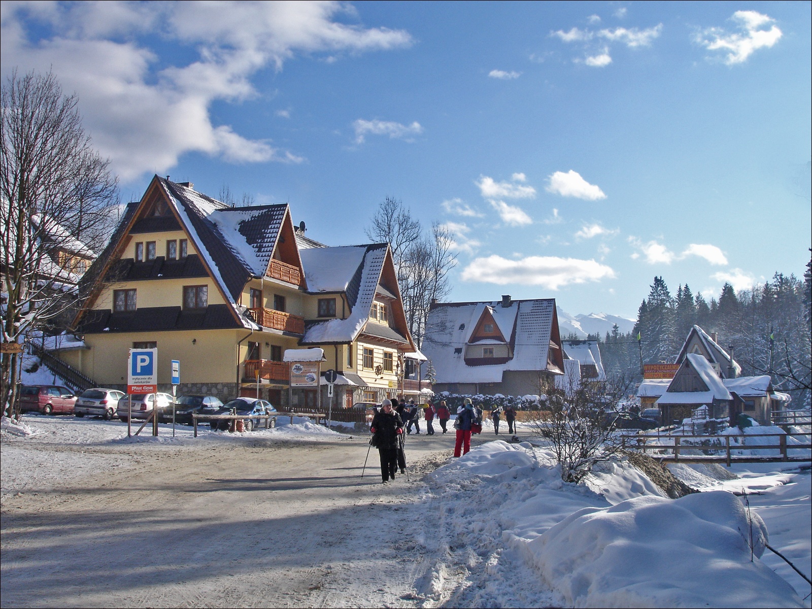
Photos: Kamil Czaiński, CC BY-SA 4.0 (Wikimedia Commons); lzur, CC BY-SA 3.0 (Wikimedia Commons); Aga Viburno, CC BY-SA 3.0 (Wikimedia Commons); guteko40, CC BY-SA 3.0 (Wikimedia Commons); Aga Viburno, CC BY-SA 3.0 (Wikimedia Commons); Kamil Czaiński, CC BY-SA 4.0 (Wikimedia Commons)
Małe Ciche is a village in Poland, located in the administrative district of Gmina Poronin, Tatra County, Lesser Poland Voivodeship. It lies in the foothills of the High Tatras, in the valley of the Filipczański Stream. To the northeast, the Zgorzelisko Ridge rises above the village, with peaks such as Wierch Zgorzelisko (1106 m) and Zadni Wierch (1062 m), separated by the large Zgorzelisko Glade. As of 2021, the population is 538.
From 1975 to 1998, Małe Ciche was part of the Nowy Sącz Voivodeship. The village has the status of a sołectwo. In 2011, the population was 485.
Małe Ciche is known as a ski resort and for its scenic nature, being close to the High Tatras. The village features a wooden church of St. Joseph, built in the late 1960s, belonging to the local parish run by Dominicans. In 2005, a ski station was opened, connecting Małe Ciche to the Zgorzelisko Glade.
Visitors can explore numerous hiking trails such as "Kuźnice – Myślenickie Turnie" or "Droga pod Reglami," and climb peaks like Nosal, Giewont, Kasprowy Wierch, and Świnica. The region offers mountain huts including "Murowaniec," "Roztoka," "Głodówka," and the "Kalatówki" mountain hotel. Cultural attractions include craft workshops and shepherd's huts, such as the "Oscypek House" on Krupówki, as well as museums and markets in Zakopane. For relaxation, there are thermal baths: "Terma Bania," "Termy Bukovina," and "Termy Zakopiańskie."
Getting there from Ukraine
Lviv – Zakopane ≈421 km, ≈5 h 10 min without border queues. Route: M-10 Lviv – Krakovets → Krakovets – Korczowa checkpoint → A4 motorway (Rzeszów – Tarnów – Kraków) → Kraków southern bypass → S7/DK7 → DK47 ('Zakopianka') via Nowy Targ → Zakopane. The A4 Katowice – Kraków section (Balice and Mysłowice toll plazas) is tolled, but this route does not use it. In summer and at weekends the DK47 near Zakopane is often congested.
Sources: Wikipedia, Wikidata, OpenStreetMap, Karpaty.rocks data. More on Wikipedia
Trails nearby
All trails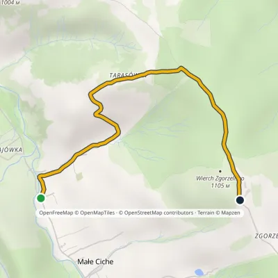 EasyOne-dayMarkedMałe Ciche Zgorzelisko Małe Ciche LichajówkiElevation profile838–1 101 m3.4 kmascent 263 m≈ 1.5 h walkingunder 1 km from the centre
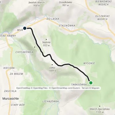 EasyOne-dayMarkedMałe Ciche Stasikówka Małe Ciche WysokieElevation profile808–1 047 m3.5 kmascent 2 m≈ 60 min walking1.7 km from the centre
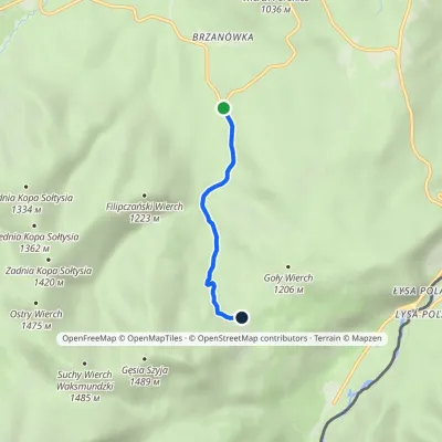 EasyOne-dayMarkedZazadnia Rusinowa PolanaElevation profile948–1 210 m2.7 kmascent 260 m≈ 1 h walking2.6 km from the centre
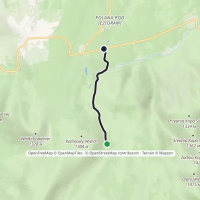 EasyOne-dayMarkedBrzeziny Psia TrawkaElevation profile1 013–1 193 m2.2 kmascent 3 m≈ 30 min walking3.2 km from the centre
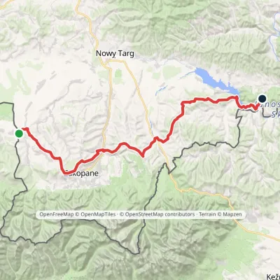 HardMulti-dayMarkedChochołów Trzy Kopce PassElevation profile469–1 132 m65.7 kmascent 1 966 m3.4 km from the centre
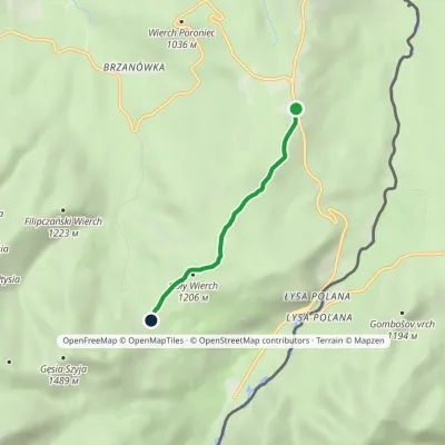 EasyOne-dayMarkedWierch Poroniec Rusinowa PolanaElevation profile1 102–1 209 m3.2 kmascent 124 m≈ 1 h walking3.6 km from the centre
Peaks nearby
All peaks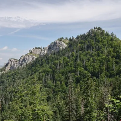 PeakNosalZakopanealtitude 1 206 m6.7 km from the centre1 trail to the topNosal is a low, wooded 1,206 m summit in the Western Tatras, right above Kuźnice on the south-eastern edge of Zakopane.
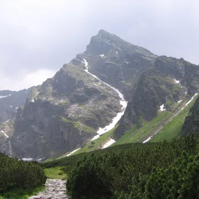 PeakKościelecZakopanealtitude 2 155 m9.6 km from the centreKościelec is a 2,155 m peak in the High Tatras, in Poland's Dolina Gąsienicowa. It stands on the side ridge of the Kościelce, which runs north from Zawratowa Turnia...
 PeakGubałówkaZakopanealtitude 1 126 m9.9 km from the centreGubałówka is a long, gentle hill above the north-western part of Zakopane and the best-known summit of the Gubałówka Foothills in Podhale.
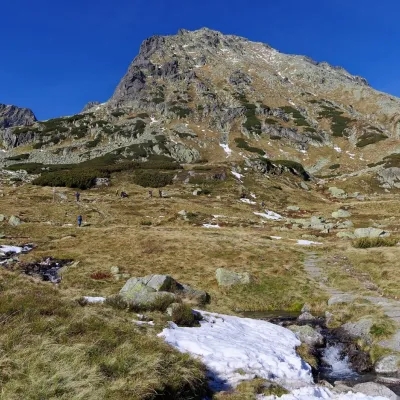 PeakKozi Wierchaltitude 2 291 m10 km from the centre2 trails to the topKozi Wierch (Slovak: Kozí vrch) is a 2,291 m peak in the High Tatras and the highest mountain with noticeable prominence lying entirely within Poland.
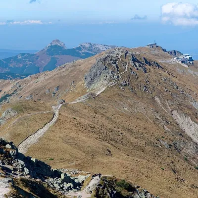 PeakKasprowy WierchZakopanealtitude 1 987 m10 km from the centre1 trail to the topKasprowy Wierch (Slovak: Kasprov vrch) is a 1,987 m summit on the main ridge of the Western Tatras, on the Polish–Slovak border.
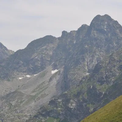 PeakŚwinicaZakopanealtitude 2 302 m10 km from the centreŚwinica (Slovak: Svinica) is a 2,302 m summit on the main ridge of the Tatra Mountains, right on the Polish–Slovak border.
What to visit
All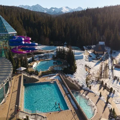 Water parks & thermal poolsTermy BukovinaBukowina Tatrzańska2.9 km from the centreTermy Bukovina is a modern thermal pool complex in Bukowina Tatrzańska, a village lying about a thousand metres above sea level on the edge of the Tatra National Park.
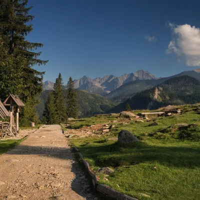 Mountain meadowRusinowa PolanaBrzegialtitude 1 210 m4.9 km from the centreRusinowa Polana is a large mountain glade in the Polish High Tatras, between Gęsia Szyja (1,489 m) and Goły Wierch (1,205 m), inside the Tatra National Park (TPN).
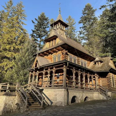 ChurchSacred Heart Chapel in JaszczurówkaZakopane5.6 km from the centreThe chapel in Jaszczurówka is one of the most beautiful timber churches of Podhale and probably the most photogenic work of the Zakopane style.
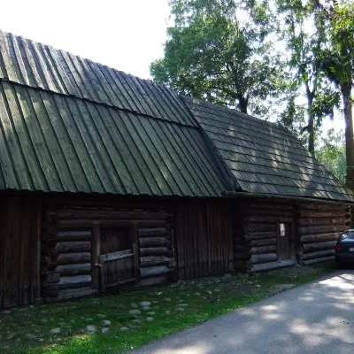 MuseumSołtys Farmstead in JurgówJurgów6.3 km from the centreThe Sołtys Farmstead (Zagroda Sołtysów) is a branch of the Tatra Museum in Jurgów, the south-westernmost village of Polish Spiš, three kilometres from Bukowina...
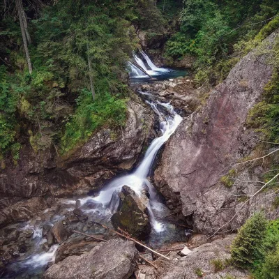 WaterfallWodogrzmoty Mickiewicza (Mickiewicz Waterfalls)Małe Ciche7.7 km from the centreWodogrzmoty Mickiewicza (the Mickiewicz Waterfalls) are a chain of falls in the High Tatras on the Roztoka stream, which flows out of the Valley of the Five Polish Lakes.
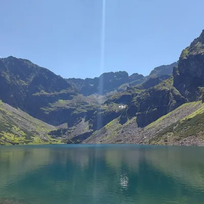 LakeCzarny Staw GąsienicowyZakopane8.9 km from the centreCzarny Staw Gąsienicowy lies in the High Tatras, in a glacial cirque in the eastern part of the Gąsienicowa Valley, at 1,624 m.
Craft nearby
All craft places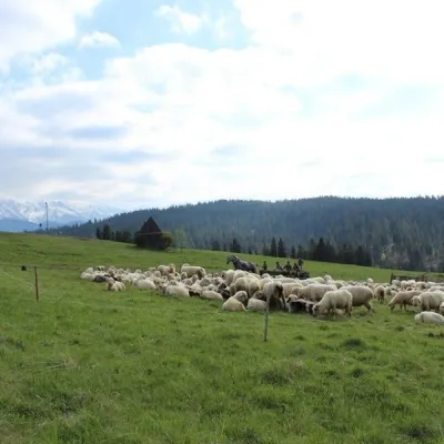 Cheese dairies & pasturesU Jancoka Shepherd's Hut, Brzegi: oscypek from Poland's first female bacaBrzegi3.1 km from the centreThe U Jancoka shepherd's hut (bacówka) stands beside regional road 960, which runs from Bukowina Tatrzańska to the Łysa Polana border crossing, in the village of Brzegi.
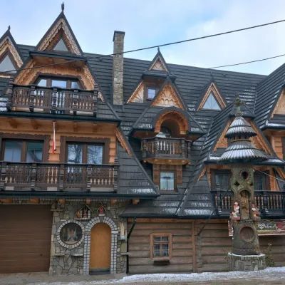 Crafts & workshopsDrewutnia, Bukowina Tatrzańska: glass painting workshops and highland furnitureBukowina Tatrzańska3.7 km from the centreDrewutnia ("the woodshed") calls itself a "shop for cultural needs". It is the family business of the Kuchtas of Bukowina Tatrzańska, who say they have lived here...
 Cheese dairies & pasturesShepherd's Hut on Rusinowa PolanaBrzegi4.7 km from the centreRusinowa Polana is one of the most beautiful mountain glades in the Polish Tatras, and from May to October it is home to the bacówka (shepherd's hut) of baca Stanisław...
 Cheese dairies & pasturesFurtek's Shepherd's Huts, Kuźnice and KalatówkiZakopane7.3 km from the centreAbove Kuźnice — the southern edge of Zakopane where most hikes into the Western and High Tatras begin — the flocks are tended by baca Andrzej Staszel, nicknamed "Furtek".
 Water parks & thermal poolsTermy Zakopiańskie (Aqua Park Zakopane)Zakopane7.8 km from the centreTermy Zakopiańskie is a thermal water park right in Zakopane, on Jagiellońska Street, only a kilometre from Krupówki.
 Craft shopsGazduś gallery, Zakopane: Podhale folk art and handicraft shopZakopane8 km from the centreGazduś is a small folk-art gallery and shop in Zakopane run by the Zakopane Cultural Centre (Zakopiańskie Centrum Kultury).
Spas and thermal pools nearby
Water parks & thermal poolsTermy BukovinaBukowina Tatrzańska2.9 km from the centreTermy Bukovina is a modern thermal pool complex in Bukowina Tatrzańska, a village lying about a thousand metres above sea level on the edge of the Tatra National Park.Water parks & thermal poolsTermy Zakopiańskie (Aqua Park Zakopane)Zakopane7.8 km from the centreTermy Zakopiańskie is a thermal water park right in Zakopane, on Jagiellońska Street, only a kilometre from Krupówki.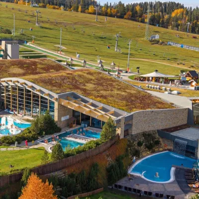 Water parks & thermal poolsTerma BaniaBiałka Tatrzańska9.6 km from the centreTerma Bania is a large thermal water park in the village of Białka Tatrzańska, at the foot of the Kotelnica ski slope.
Huts, shelters and springs nearby
 1 031 mMountain shelterRoztoka HutHigh Tatras · PolandStanding220 m from a trailSleeps up to 75Meals served
Getting there from Ukraine
Border crossings
- Krakovets – Korczowa — road, 24/7
- Shehyni – Medyka — road, 24/7 Pedestrian crossing is not confirmed by the Ukrainian border service — check dpsu.gov.ua before the trip.
- Smilnytsia – Krościenko — road, 24/7
- Hrushiv – Budomierz — road, 24/7
- Mostyska – Przemyśl (rail) — rail, 24/7
By car
Lviv – Zakopane ≈421 km, ≈5 h 10 min without border queues. Route: M-10 Lviv – Krakovets → Krakovets – Korczowa checkpoint → A4 motorway (Rzeszów – Tarnów – Kraków) → Kraków southern bypass → S7/DK7 → DK47 ('Zakopianka') via Nowy Targ → Zakopane. The A4 Katowice – Kraków section (Balice and Mysłowice toll plazas) is tolled, but this route does not use it. In summer and at weekends the DK47 near Zakopane is often congested.
Checked 23.10.2026; border crossing hours and timetables change — check before you travel.
