Ludrová
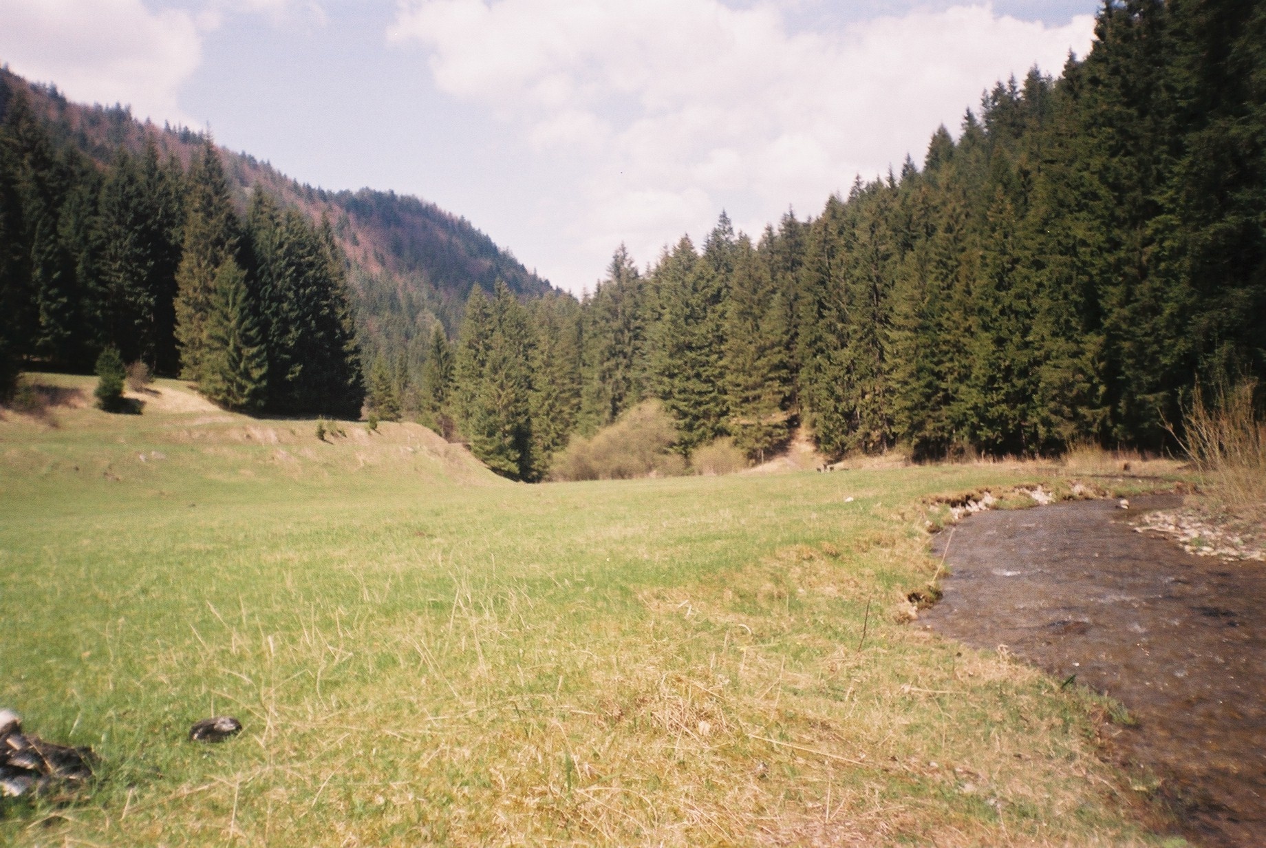
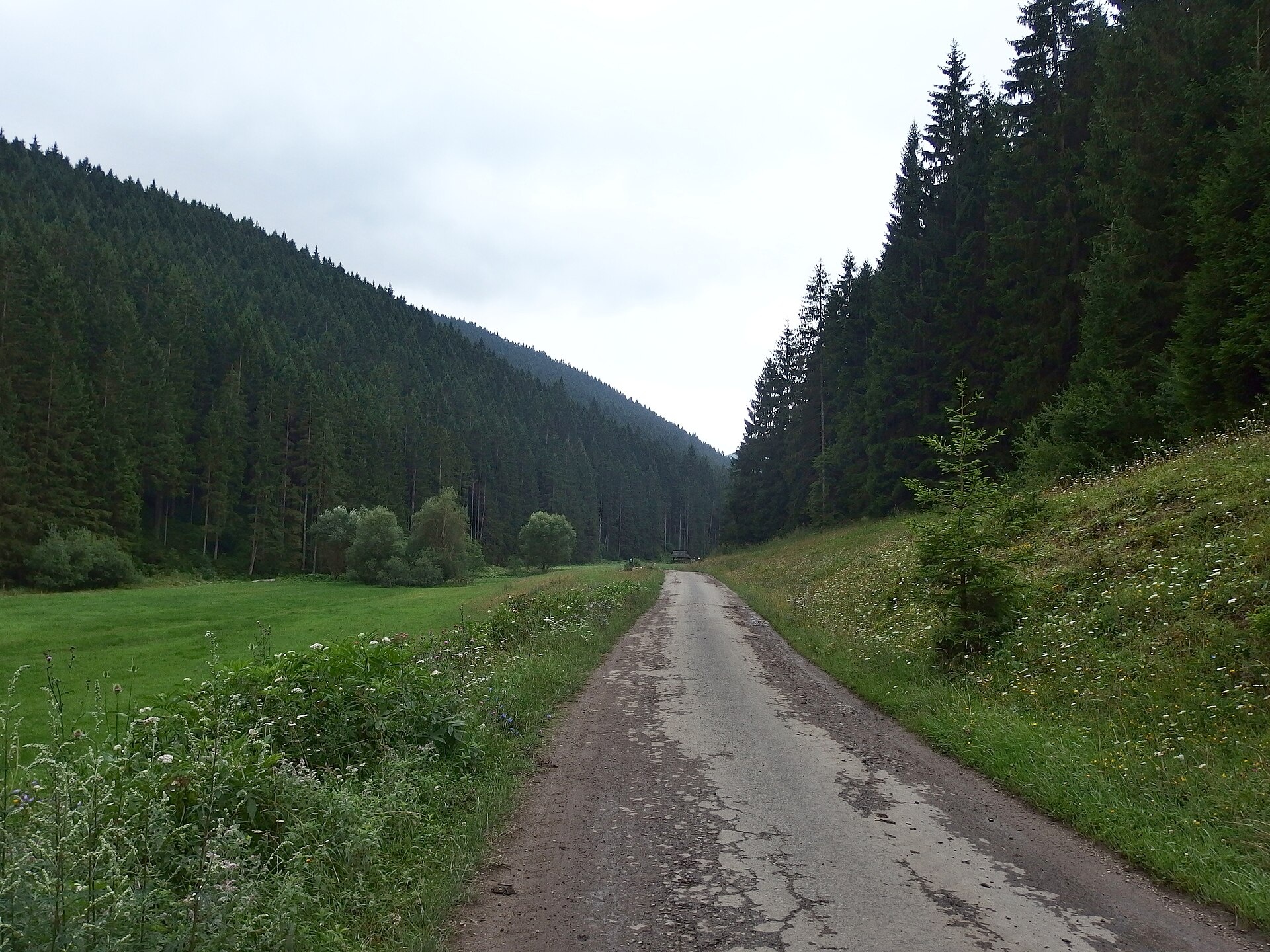
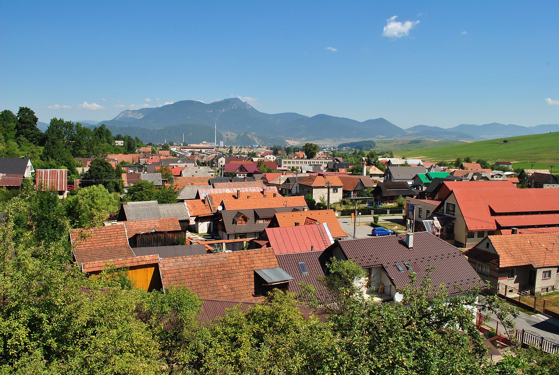
Photos: Radosław Botev, Public domain (Wikimedia Commons); Palickap, CC BY-SA 4.0 (Wikimedia Commons); Patrik Kunec, CC BY-SA 4.0 (Wikimedia Commons)
Ludrová is a village in Slovakia.
Elevation: about 567 m above sea level. Population: 1,002 (2025). Mountains nearby: Low Tatras.
Here and nearby on the site: 2 trails.
Facts: Wikidata, OpenStreetMap. More on Wikipedia
What's nearby
Trails nearby
All trails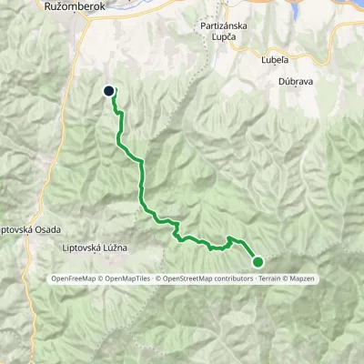 HardTwo-dayMarkedLudrová Junction above Ďurková SaddleElevation profile587–1 750 m22.8 kmascent 877 m≈ 7.5 h walking1.2 km from the centre
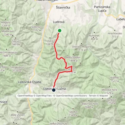 ModerateTwo-dayMarkedLudrová Liptovská LúžnaElevation profile587–1 618 m16.8 kmascent 1 061 m≈ 6.5 h walking1.2 km from the centre
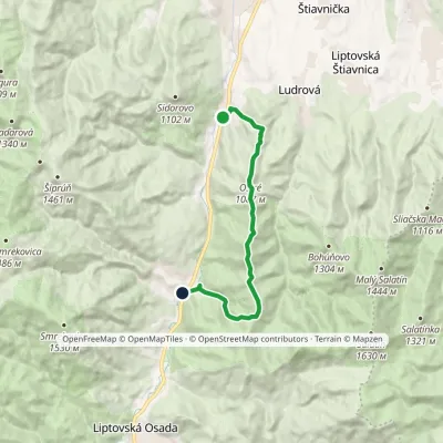 ModerateOne-dayMarkedBiely Potok PodsucháElevation profile515–1 174 m11.4 kmascent 907 m≈ 4.5 h walking1.5 km from the centre
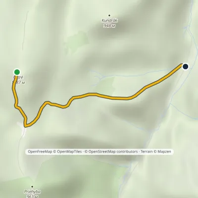 EasyOne-dayMarkedLudrovská Valley, SNP Memorial OstréElevation profile625–1 063 m2 km≈ 30 min walking2.4 km from the centre
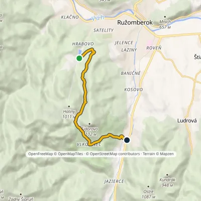 EasyOne-dayMarkedBiely Potok Hrabovo, Hotel Primus-RybárpoleElevation profile512–863 m7 kmascent 344 m≈ 2.5 h walking2.5 km from the centre
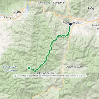 HardTwo-dayMarkedRužomberok, A Hlinka Square Hut under Borišov, junctionElevation profile494–1 567 m30 kmascent 889 m≈ 9.5 h walking2.9 km from the centre
Peaks nearby
All peaks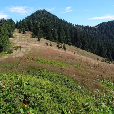 PeakŠiprúňRužomberokaltitude 1 461 m8 km from the centreŠiprúň is a high, prominent mountain 1461 m tall in the north-eastern part of the Greater Fatra (Veľká Fatra) in Slovakia.
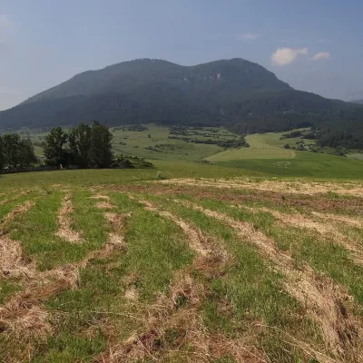 PeakPredný ChočMartinčekaltitude 1 249 m8.4 km from the centrePredný Choč (Polish Przedni Chocz) is a 1,249 m summit in the Choč Mountains of northern Slovakia, part of the Veľký Choč group.
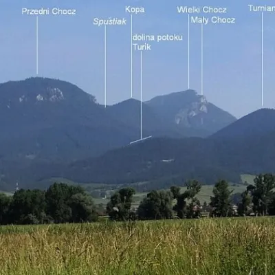 PeakTurícka MaguraTuríkaltitude 1 085 m9.5 km from the centreTurícka Magura (also Turanská or Turianska Magura; Polish Magura Turicka) is a 1085 m summit in the western part of the Choč Mountains in Slovakia.
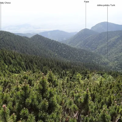 PeakMalý ChočLúčkyaltitude 1 465 m11 km from the centreMalý Choč (Polish: Mały Chocz) is a 1,465 m summit in the Choč Mountains of northern Slovakia, a fore-summit of neighbouring Veľký Choč (1,608 m).
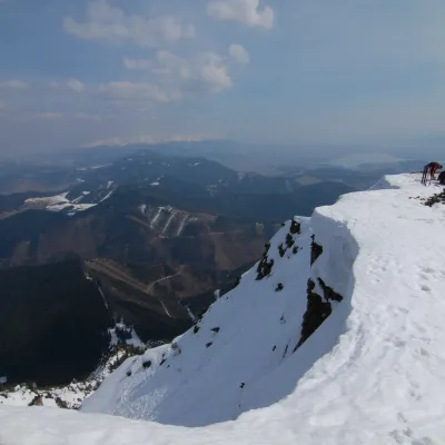 PeakVeľký ChočVyšný Kubínaltitude 1 611 m12 km from the centreVeľký Choč (Polish Wielki Chocz) is the highest peak of the Choč Mountains in northern Slovakia at 1,611 m (some sources give 1,608 m).
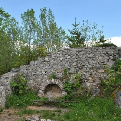 PeakSestrčLiptovská Sielnicaaltitude 1 000 m13 km from the centreSestrč is a 999.9 m summit in the Choč Mountains (Chočské vrchy) in the Liptov region of northern Slovakia.
What to visit
All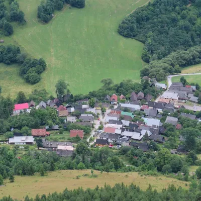 Historic siteVlkolínecRužomberok4 km from the centreVlkolínec is a mountain settlement on the slopes of the Veľká Fatra below Sidorovo hill, formally part of the town of Ružomberok.
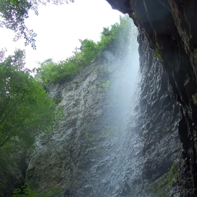 WaterfallBrankovský waterfall — the highest in the Low TatrasLiptovská Osada6.8 km from the centreThe Brankovský waterfall (Brankovský vodopád) is the highest waterfall in the Low Tatras: the water drops 55 m.
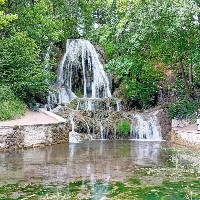 WaterfallLúčanský vodopád (Lúčky Waterfall)Lúčky11 km from the centreLúčanský vodopád is an unusual travertine waterfall right in the centre of the spa village of Lúčky in Lower Liptov, at the foot of the Chočské vrchy hills, 13 km from...
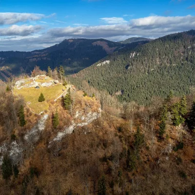 CastleLiptov Castle (ruins)Liptovská Sielnica13 km from the centreLiptov Castle (Liptovský hrad), also known as Liptov Old Castle or Sielnica Castle, is the ruin of a medieval fortress on the summit of Sestrč (999.9 m) in the Choč...
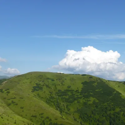 Mountain meadowHole of the western Low Tatras: from Prašivá to ĎurkováLiptovská Lúžnaaltitude 1 648 m15 km from the centreThe western part of the main ridge of the Low Tatras (Nízke Tatry) is almost 20 kilometres of continuous hole – grassy mountain pastures above the tree line.
 LakeLiptovská MaraLiptovský Trnovec16 km from the centreLiptovská Mara is a large reservoir on the Váh river in central Liptov, by the town of Liptovský Mikuláš, with views of the Western and Low Tatras.
Craft nearby
All craft places Craft beer & breweriesURSUS craft brewery, Čutkovská valleyRužomberok6.8 km from the centreURSUS craft brewery (Remeselný pivovar URSUS) is the first brewery of the town of Ružomberok, tucked away in the picturesque Čutkovská valley in lower Liptov.
 Cheese dairies & pasturesSalaš Krajinka near RužomberokRužomberok10 km from the centreSalaš Krajinka is a genuine sheep farm on the edge of Ružomberok in lower Liptov. It was founded in 1983 to keep a thousand sheep, and the owners have deliberately...
 Water parks & thermal poolsBešeňová Water ParkBešeňová10 km from the centreBešeňová — the "thermal heart of Liptov" Bešeňová Water Park (Vodný park Bešeňová) lies on the edge of the village of the same name in the western part of the Liptov...
 Water parks & thermal poolsLúčky Spa and AQUA-VITAL ParkLúčky11 km from the centreLúčky Spa (Kúpele Lúčky) lies in a quiet valley beneath the Choč Mountains, in the village of Lúčky near Ružomberok.
 Koliby & Hutsul cuisineSalaš Dechtáre above Liptovská MaraGalovany14 km from the centreSalaš Dechtáre is a wooden koliba above the Liptovská Mara reservoir that is described as one of Slovakia’s first commercial salaš restaurants.
 Water parks & thermal poolsAquapark TatralandiaLiptovský Mikuláš19 km from the centreAquapark Tatralandia is a large year-round water leisure complex near Liptovský Mikuláš, on the northern shore of the Liptovská Mara reservoir.
Spas and thermal pools nearby
Water parks & thermal poolsBešeňová Water ParkBešeňová10 km from the centreBešeňová — the "thermal heart of Liptov" Bešeňová Water Park (Vodný park Bešeňová) lies on the edge of the village of the same name in the western part of the Liptov...Water parks & thermal poolsLúčky Spa and AQUA-VITAL ParkLúčky11 km from the centreLúčky Spa (Kúpele Lúčky) lies in a quiet valley beneath the Choč Mountains, in the village of Lúčky near Ružomberok.Water parks & thermal poolsAquapark TatralandiaLiptovský Mikuláš19 km from the centreAquapark Tatralandia is a large year-round water leisure complex near Liptovský Mikuláš, on the northern shore of the Liptovská Mara reservoir.Huts, shelters and springs nearby
Getting there from Ukraine
Border crossings
- Uzhhorod – Vyšné Nemecké — road, 24/7
- Malyi Bereznyi – Ubľa — road, 24/7 For cars and buses; pedestrians not confirmed by the Ukrainian border service, lorries up to 3.5 t.
- Mali Selmentsi – Veľké Slemence (pedestrian) — pedestrian, 09:00–21:00 Kyiv time Pedestrians and cyclists only; inconvenient for the Tatras without onward transport.
- Chop – Čierna nad Tisou (rail) — rail, 24/7
By car
From Uzhhorod ≈275 km, ≈3 h 35 min without queues: Uzhhorod – Vyšné Nemecké → I/19 to Košice → D1 motorway via Prešov, Poprad and Liptovský Mikuláš to Ružomberok (≈270 km, ≈3 h 25 min from the border). From Lviv it is faster through Poland: M-10 → Krakovets – Korczowa → A4 to Kraków → S7/DK7 to the Chyżne – Trstená border → R3 and I/59 via Dolný Kubín to Ružomberok: ≈482 km, ≈6 h 15 min (via Uzhok and Ubľa ≈500 km, ≈7 h 30 min). The D1 requires an e-vignette (eznamka.sk).
Checked 23.10.2026; border crossing hours and timetables change — check before you travel.
