Veľký Choč
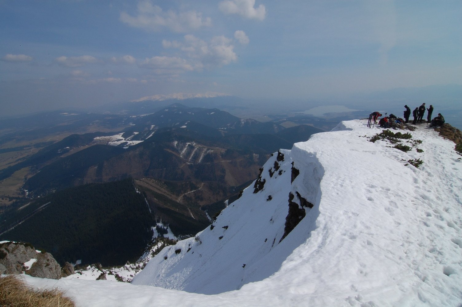
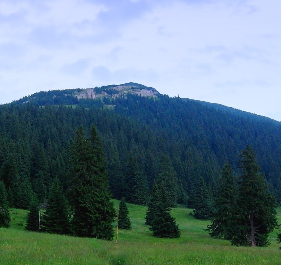
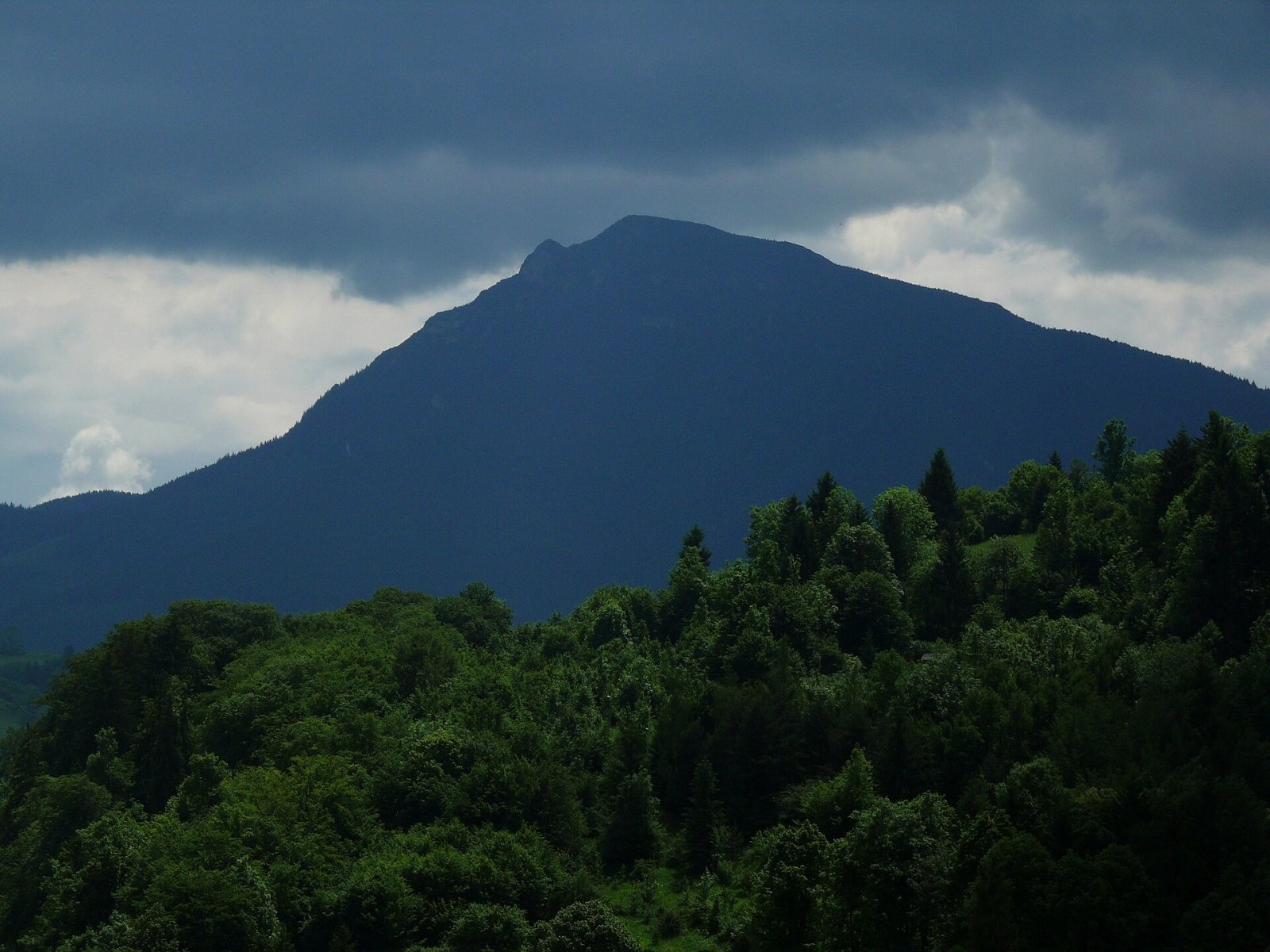
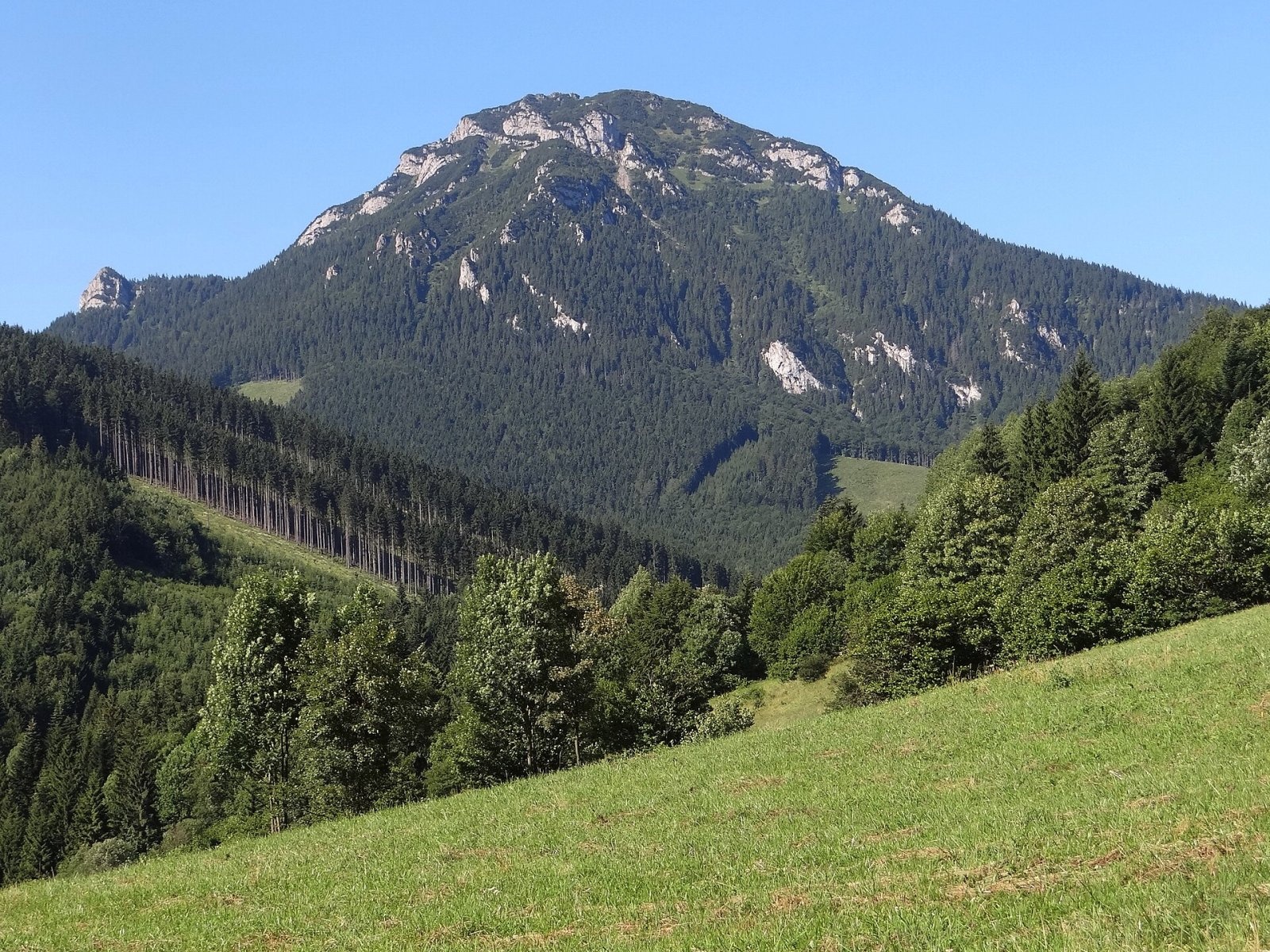
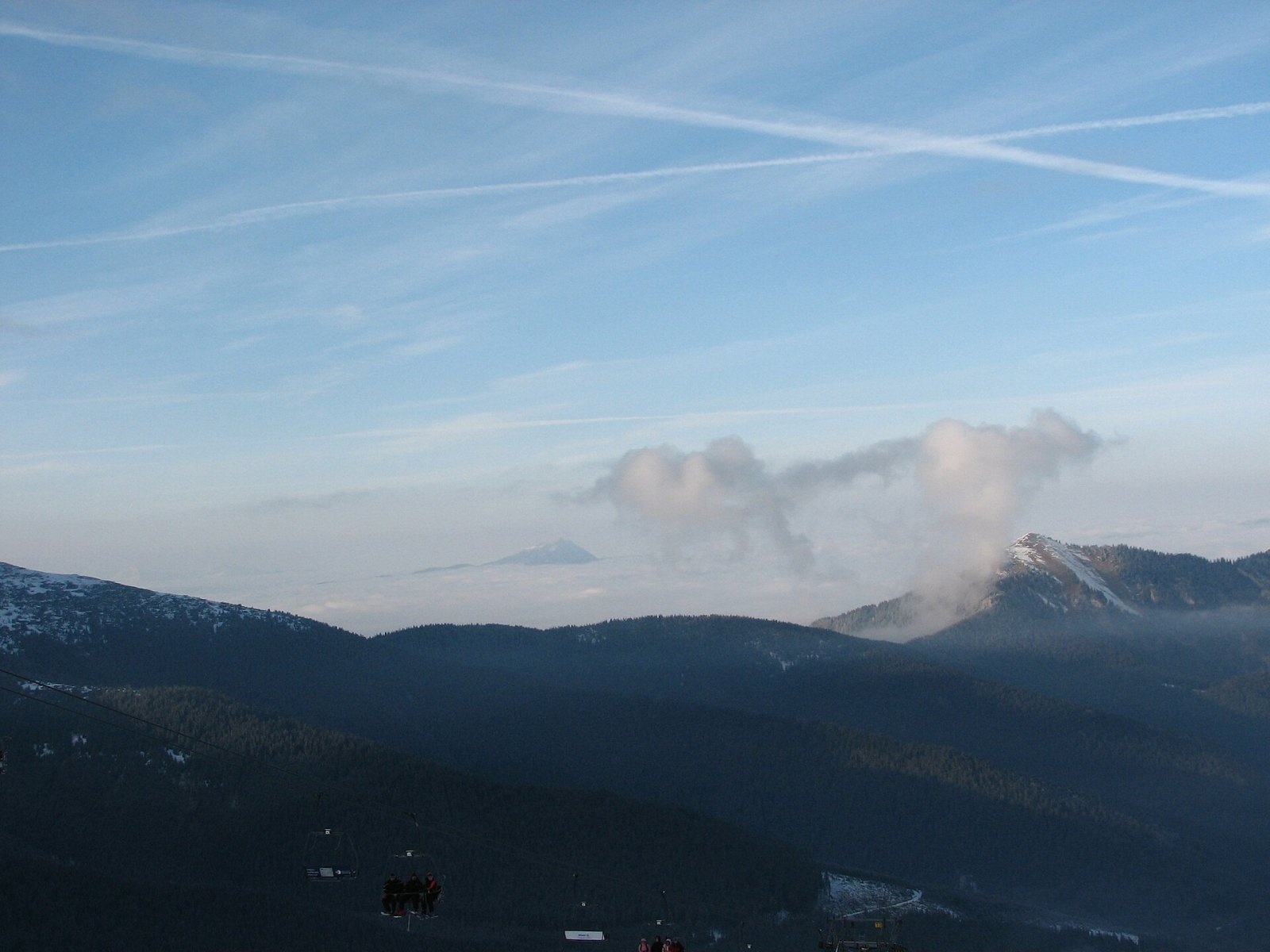
Veľký Choč (Polish Wielki Chocz) is the highest peak of the Choč Mountains in northern Slovakia at 1,611 m (some sources give 1,608 m). A solitary, irregular pyramid with many crags, it stands between the Orava and Váh valleys and rises about 900 m above the surrounding valleys, so it is visible from all of Lower Orava and as far as Štrba. The summit itself lies in the cadastre of Vyšný Kubín, and the boundary of the Dolný Kubín and Ružomberok districts of the Žilina Region runs just below it. Choč is considered one of the most beautiful mountains in Slovakia.
The massif also includes Malý Choč (1,465 m), separated from the main summit by the grassy Vráca saddle (1,422 m), the forested Zadný Choč, Kopa and the panoramic Predný Choč (1,249 m) above the Spuštiak saddle. The broad saddle at the western foot holds the large Stredná poľana meadow with a shepherd's hut and a trail junction. From Valaská Dubová the mountain gains height gradually, while from the north and from Lúčky it drops in steep slopes.
Getting there / trails
Several marked trails lead to the summit; times are approximate, from Slovak and Polish sources:
- Red markings from Lúčky up the Jastrabá valley via the Žimerová meadow and the Vráca saddle — about 2 h 25 min. One of the most beautiful ascents.
- Blue markings from Valaská Dubová to Stredná poľana, then green to the summit — 2¼–2½ h, about 950 m of ascent. The shortest route.
- Green markings from Vyšný Kubín via the Drapáč meadow — 3–4 h, about 1,100 m up; fine views of Orava.
- Red markings from Jasenová via Bralo — about 3 h 25 min.
- From Likavka or Ružomberok on red or blue markings via the Spuštiak saddle to Stredná poľana and on by green — 3½–4½ h; the variant past the ruins of Likava castle is longer still.
The view
The treeless summit offers an all-round panorama of most of Slovakia's mountains: the nearby Lesser Fatra, then Oravská Magura, the Orava Beskids, the Western and Low Tatras and the northern part of the Greater Fatra; on clear days Poland and Moravia are visible too.
Nature
The base of the massif is made of relatively soft Cretaceous limestones and shales, so the lower slopes are gentle. The upper part consists of thick beds of grey dolomite and dark Triassic limestone of the so-called Choč nappe: geologists first described these layers here, which is why they bear the mountain's name. There are many rock walls, towers, scree fields and a few short caves. The massif is almost entirely forested — beech with fir and spruce lower down, spruce higher up, largely primeval. The tree line runs at 1,350–1,420 m, above it is a belt of dwarf pine, and relict pines grow on the crags. The summit dome is rich in lime-loving and alpine flora: bird's-eye primrose, short-stemmed gentian, mountain avens. In 1982 the massif was declared the Choč nature reserve (1,428 ha); it is also part of the Natura 2000 network.
History and culture
Veľký Choč was mentioned by Matej Bel in his «Notitia Hungariae novae» (1736). In 1804 the Hungarian botanist Pál Kitaibel climbed it, in 1840 King Frederick Augustus II of Saxony, travelling incognito, and in 1878 the Polish physician Tytus Chałubiński collected minerals here. The poet Pavol Országh Hviezdoslav, who celebrated the mountain, was born below it in Vyšný Kubín; Choč was pictured on the reverse of the Czechoslovak 10-koruna note (1986–1993).
Safety and rules
The massif is a nature reserve: keep to marked trails and do not pick plants. The upper sections are rocky and steep, slippery in rain, and in winter the northern slopes ice up. Slovak Mountain Rescue Service (HZS): 18 300 (from a foreign phone +421 18 300) or 112.
Photos: Andrej Krivulčík, CC BY 3.0; Wikipedysta:Gower, CC BY-SA 2.5; Oto Zapletal, CC BY 4.0; Jerzy Opioła, CC BY-SA 3.0; Ján Sokoly, CC BY 2.0 — Wikimedia Commons.
Getting there from Ukraine
Border crossings
- Uzhhorod – Vyšné Nemecké — road, 24/7
- Malyi Bereznyi – Ubľa — road, 24/7 For cars and buses; pedestrians not confirmed by the Ukrainian border service, lorries up to 3.5 t.
- Mali Selmentsi – Veľké Slemence (pedestrian) — pedestrian, 09:00–21:00 Kyiv time Pedestrians and cyclists only; inconvenient for the Tatras without onward transport.
- Chop – Čierna nad Tisou (rail) — rail, 24/7
By car
From Uzhhorod ≈275 km, ≈3 h 35 min without queues: Uzhhorod – Vyšné Nemecké → I/19 to Košice → D1 motorway via Prešov, Poprad and Liptovský Mikuláš to Ružomberok (≈270 km, ≈3 h 25 min from the border). From Lviv it is faster through Poland: M-10 → Krakovets – Korczowa → A4 to Kraków → S7/DK7 to the Chyżne – Trstená border → R3 and I/59 via Dolný Kubín to Ružomberok: ≈482 km, ≈6 h 15 min (via Uzhok and Ubľa ≈500 km, ≈7 h 30 min). The D1 requires an e-vignette (eznamka.sk).
Checked 23.10.2026; border crossing hours and timetables change — check before you travel.
Location on the map
Water and shelter nearby
- Spring below Malý Choč (north-east slope), 1 231 m640 m · Not verified · 1 231 m
- Spring below Malý Choč (north-east slope), 1 201 m690 m · Not verified · 1 201 m
- Spring below Veľký Choč (east slope)700 m · Not verified · 1 155 m
- Ohnutý potok Spring720 m · Not verified · 1 210 m
- Spring below Veľký Choč (north-west slope), 1 203 m730 m · Not verified · 1 203 m
- Spring below Malý Choč (north-east slope), 1 184 m730 m · Not verified · 1 184 m
- Spring below Veľký Choč (north-west slope), 1 254 m820 m · Not verified · 1 254 m
- Holický potok Spring850 m · Not verified · 1 029 m
- Rástočná Spring930 m · Not verified · 1 035 m
- Spring below Malý Choč (south-east slope), 1 082 m1.3 km · Not verified · 1 082 m
- Spring below Malý Choč (south-east slope), 1 082 m (2)1.3 km · Not verified · 1 082 m
- Spring below Malý Choč (south-east slope), 1 079 m1.4 km · Not verified · 1 079 m
- Spring below Malý Zadný Choč (north slope)1.5 km · Not verified · 1 258 m
- Žimerová Canopy, 1 035 m1.8 km · Not verified · 1 035 m
- Spring below Malý Zadný Choč (south-west slope)1.9 km · Not verified · 1 250 m
- Spring below Soliská2 km · Not verified · 1 074 m
Comments
Trails nearby
All trails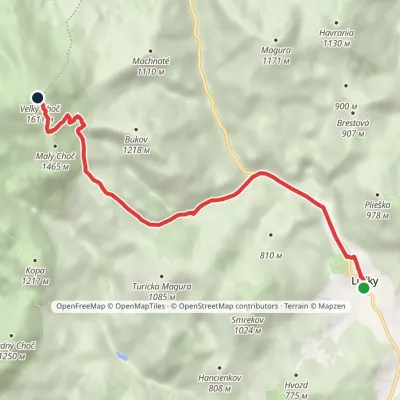 ModerateOne-dayMarkedLúčanský Waterfall Veľký ChočElevation profile578–1 611 m7.2 kmascent 1 036 m≈ 4 h walkingunder 1 km from Veľký Choč
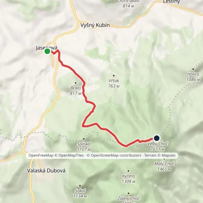 ModerateOne-dayMarkedMartin Kukučín TrailElevation profile538–1 611 m6.5 kmascent 1 073 m≈ 4 h walkingunder 1 km from Veľký Choč
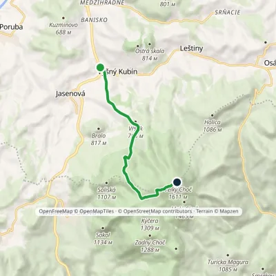 ModerateOne-dayMarkedVyšný Kubín Veľký ChočElevation profile511–1 611 m7 kmascent 1 105 m≈ 4 h walkingunder 1 km from Veľký Choč
Nearby attractions
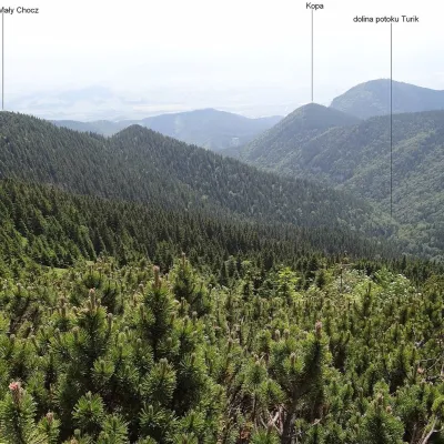 PeakMalý ChočLúčkyaltitude 1 465 munder 1 km from Veľký ChočMalý Choč (Polish: Mały Chocz) is a 1,465 m summit in the Choč Mountains of northern Slovakia, a fore-summit of neighbouring Veľký Choč (1,608 m).
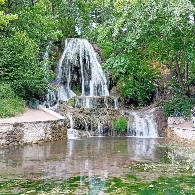 WaterfallLúčanský vodopád (Lúčky Waterfall)Lúčky5 km from Veľký ChočLúčanský vodopád is an unusual travertine waterfall right in the centre of the spa village of Lúčky in Lower Liptov, at the foot of the Chočské vrchy hills, 13 km from...
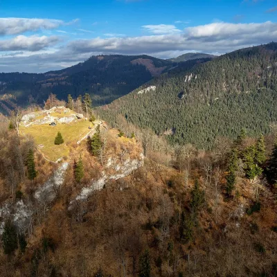 CastleLiptov Castle (ruins)Liptovská Sielnica6.3 km from Veľký ChočLiptov Castle (Liptovský hrad), also known as Liptov Old Castle or Sielnica Castle, is the ruin of a medieval fortress on the summit of Sestrč (999.9 m) in the Choč...
Craft nearby
All craft places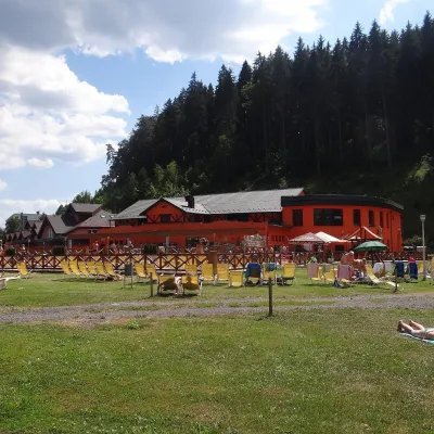 Water parks & thermal poolsLúčky Spa and AQUA-VITAL ParkLúčky4.3 km from Veľký ChočLúčky Spa (Kúpele Lúčky) lies in a quiet valley beneath the Choč Mountains, in the village of Lúčky near Ružomberok.
 Water parks & thermal poolsBešeňová Water ParkBešeňová9.3 km from Veľký ChočBešeňová — the "thermal heart of Liptov" Bešeňová Water Park (Vodný park Bešeňová) lies on the edge of the village of the same name in the western part of the Liptov...
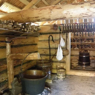 Cheese dairies & pasturesSalaš Krajinka near RužomberokRužomberok9.5 km from Veľký ChočSalaš Krajinka is a genuine sheep farm on the edge of Ružomberok in lower Liptov. It was founded in 1983 to keep a thousand sheep, and the owners have deliberately...
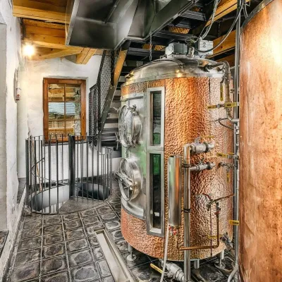 Craft beer & breweriesURSUS craft brewery, Čutkovská valleyRužomberok10 km from Veľký ChočURSUS craft brewery (Remeselný pivovar URSUS) is the first brewery of the town of Ružomberok, tucked away in the picturesque Čutkovská valley in lower Liptov.
 Koliby & Hutsul cuisineSalaš Dechtáre above Liptovská MaraGalovany14 km from Veľký ChočSalaš Dechtáre is a wooden koliba above the Liptovská Mara reservoir that is described as one of Slovakia’s first commercial salaš restaurants.
 Water parks & thermal poolsAquapark TatralandiaLiptovský Mikuláš17 km from Veľký ChočAquapark Tatralandia is a large year-round water leisure complex near Liptovský Mikuláš, on the northern shore of the Liptovská Mara reservoir.
