Dolný Kubín District
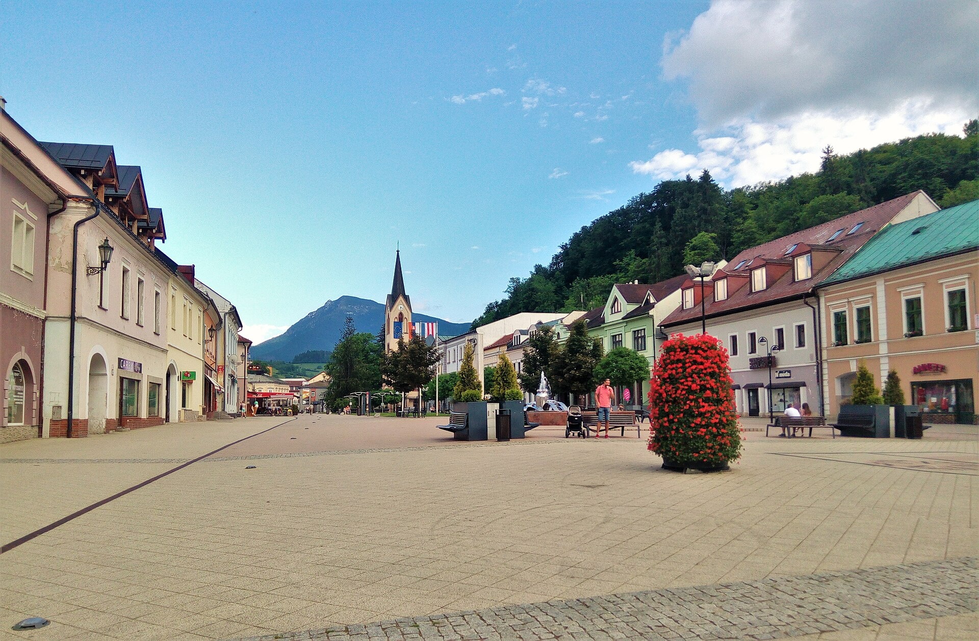
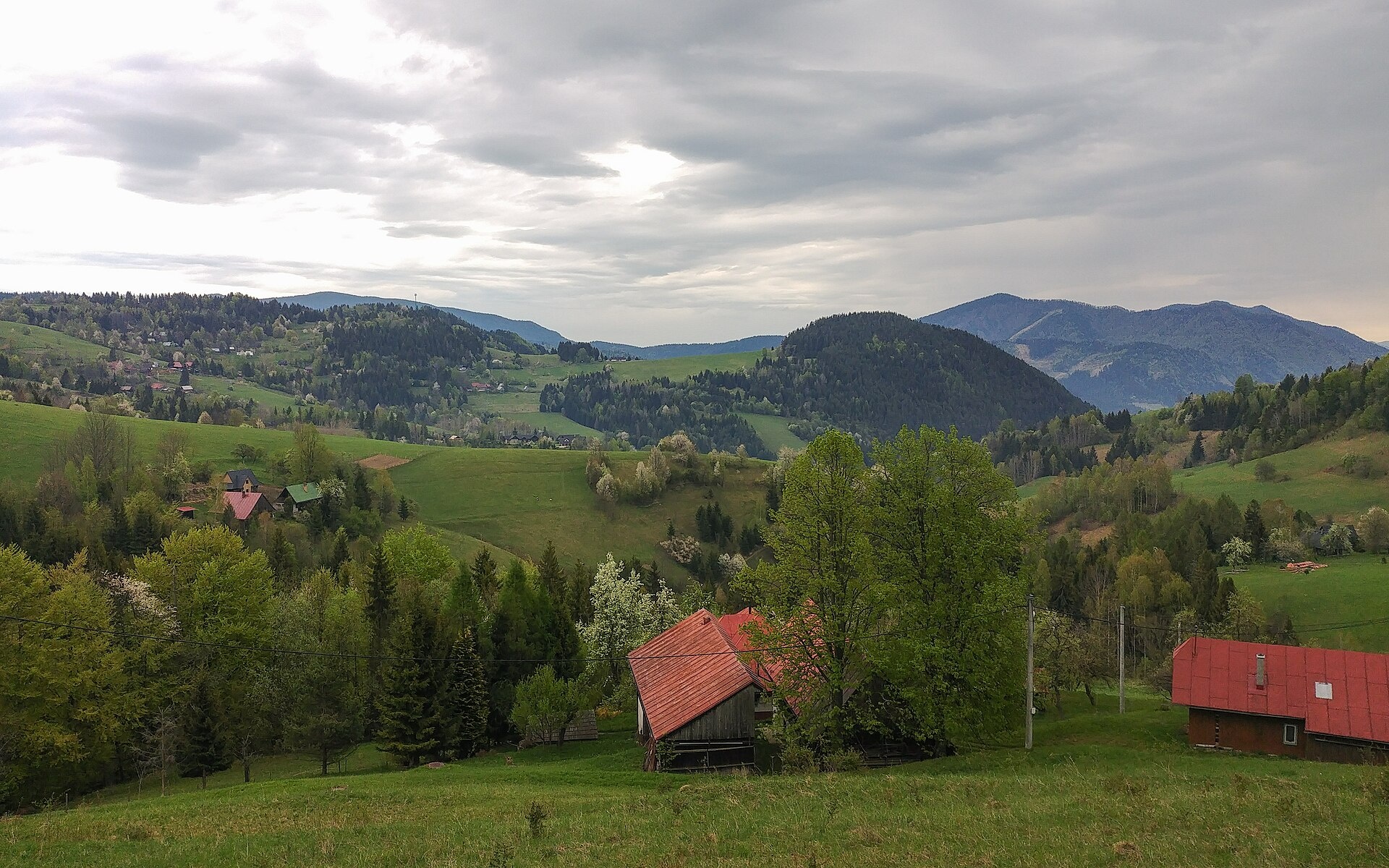
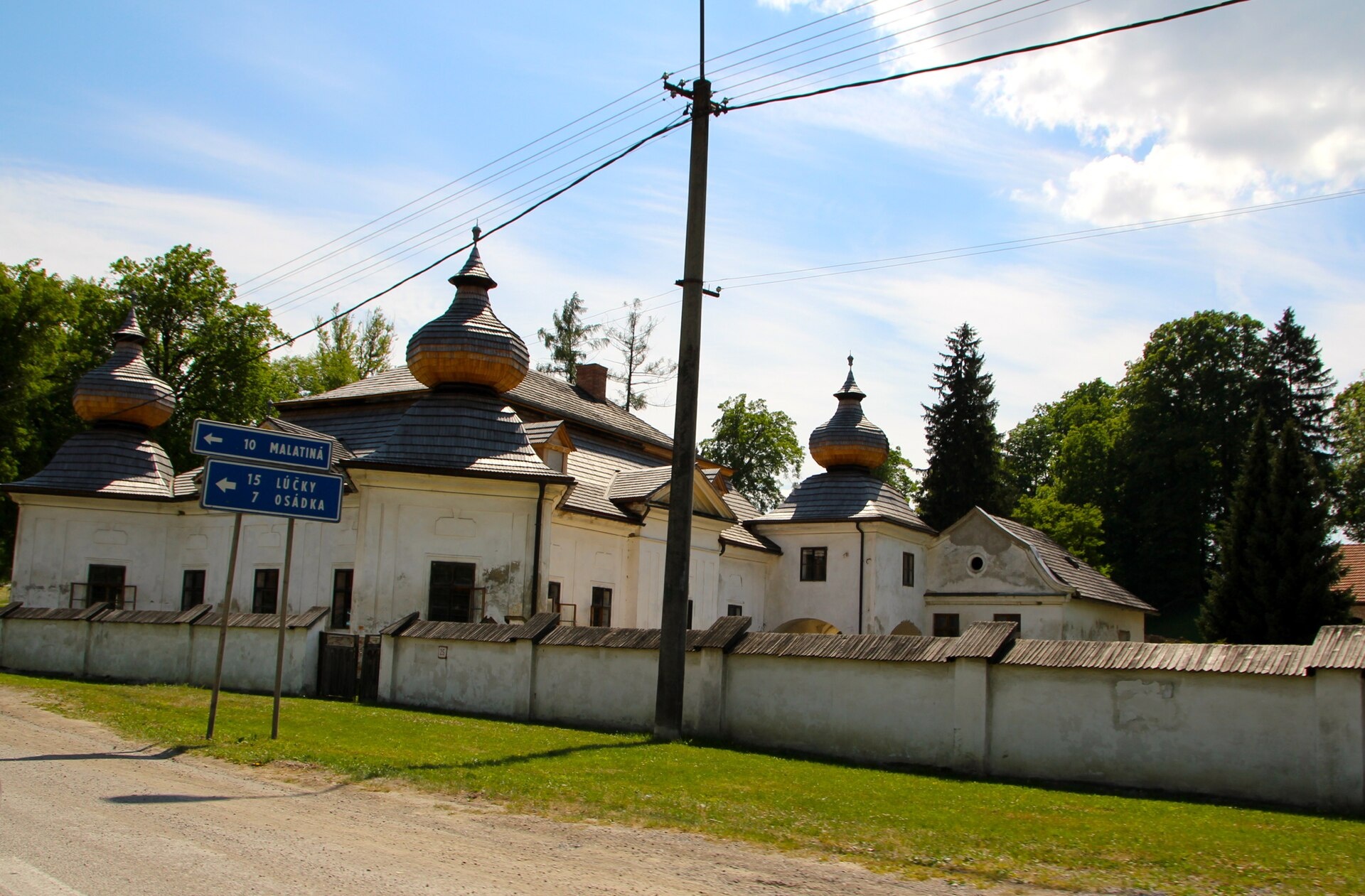
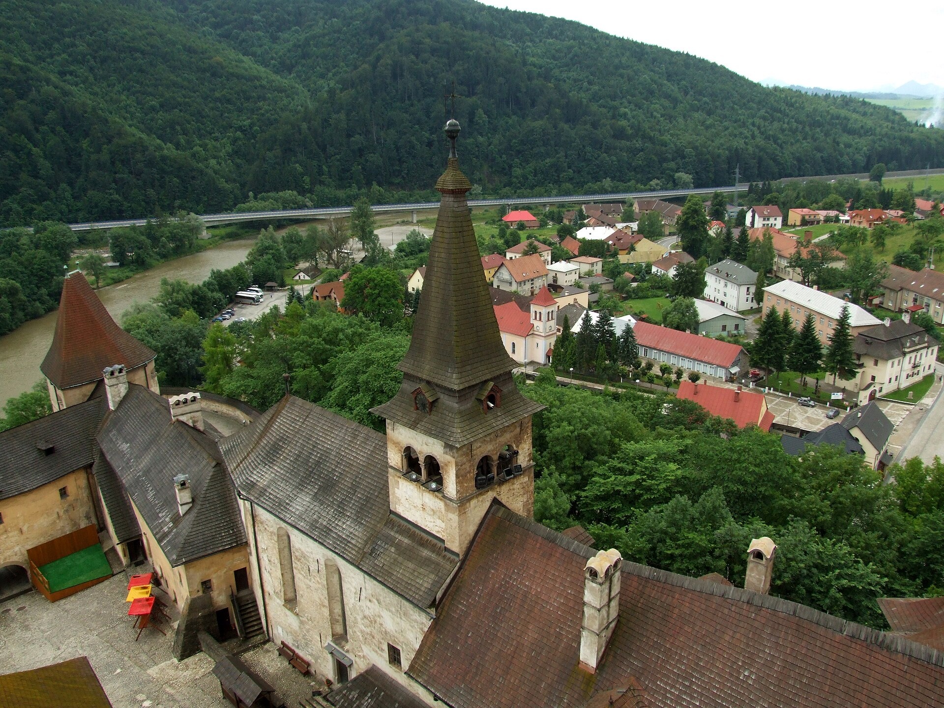
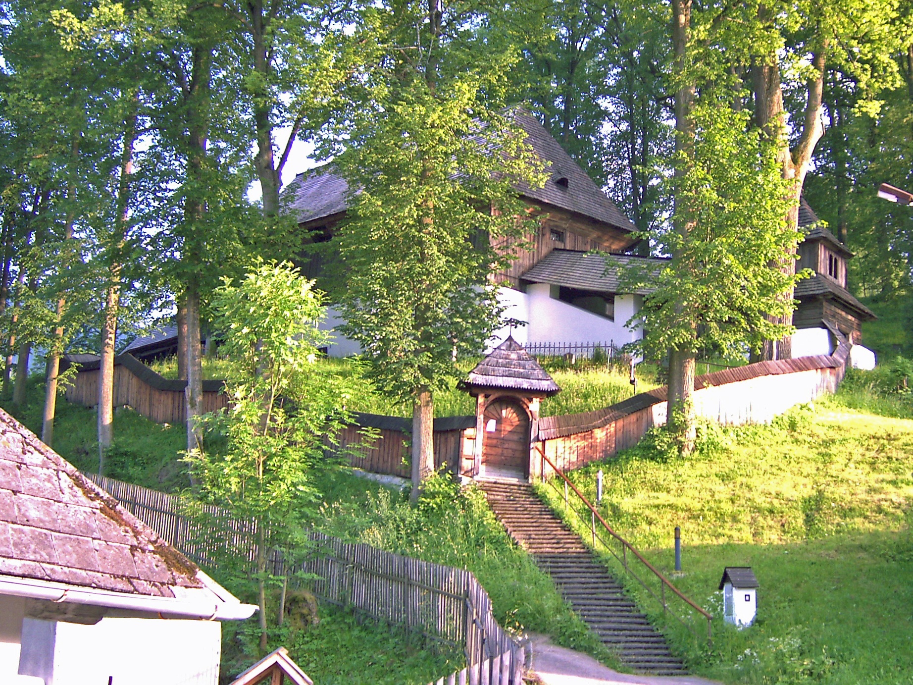
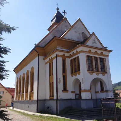
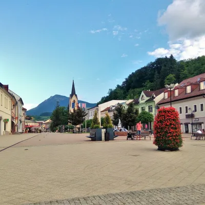
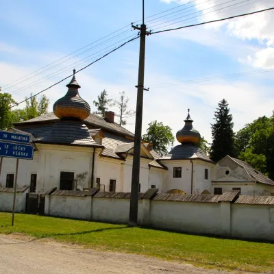
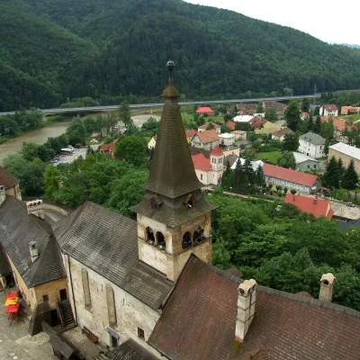
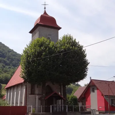
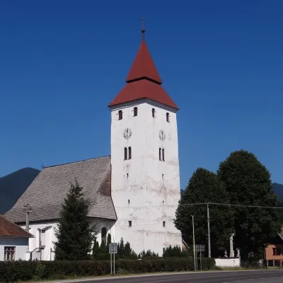
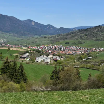
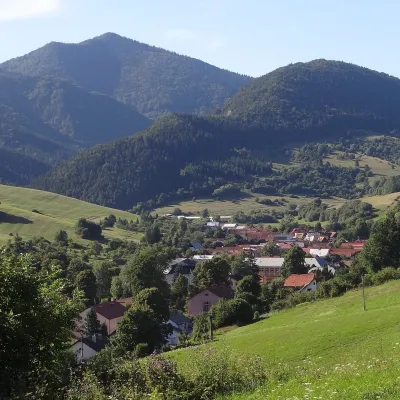
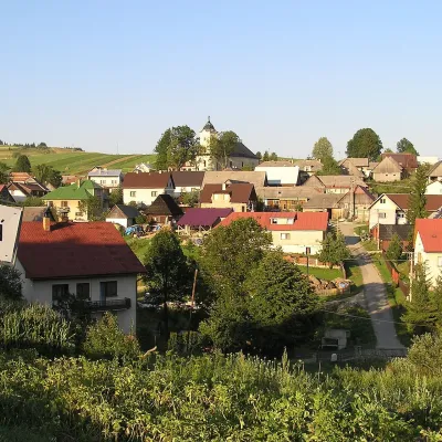
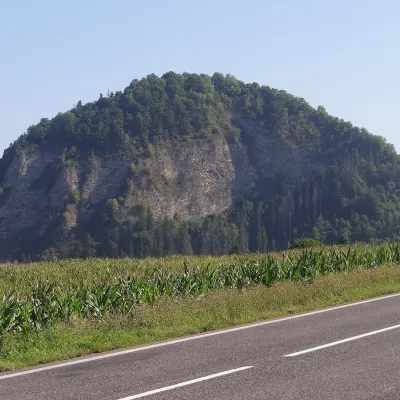
Photos: Dolný Kubín (Kamil Czainski, CC BY-SA 4.0); Zázrivá (Krumpi, CC BY-SA 4.0); Vyšný Kubín (Ralf Lotys (Sicherlich), CC BY 3.0); Oravský Podzámok (Modris Putns, CC BY-SA 3.0); Leštiny (Wulf-Helmbrecht Ullmann, CC BY 3.0)
Dolný Kubín District is an administrative district in the centre of the Žilina region of Slovakia. Its administrative seat is the town of Dolný Kubín. The district was first formed in 1918 and is part of the historical Orava region. It is located in the lowlands of the Orava River, surrounded by the foothills of the Western Carpathians, and includes 23 villages.
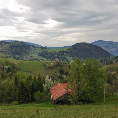
The district's landscape is defined by the Malá Fatra and Veľká Fatra ridges to the west, the Oravská Magura to the east, and the massifs of Vojenné, Krivánska Fatra, Krivánske Vetrové hole, and Osnica. The area is known for its mountain scenery, hiking trails, and local traditions.
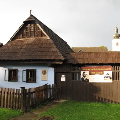
The site features objects in towns such as Párnica, Zázrivá, Dolný Kubín, Vyšný Kubín, and Oravský Podzámok. Notable trails include Vyšný Kubín – Veľký Choč, the Martin Kukučín Trail, and Lučanský Waterfall – Veľký Choč. Highlights include Orava Castle, the wooden articular church in Leštiny, the Hviezdoslav Museum and Čaplovič Library, and the Syrex sheepfold in Zázrivá.
Getting there from Ukraine
From Uzhhorod ≈275 km, ≈3 h 35 min without queues: Uzhhorod – Vyšné Nemecké → I/19 to Košice → D1 motorway via Prešov, Poprad and Liptovský Mikuláš to Ružomberok (≈270 km, ≈3 h 25 min from the border). From Lviv it is faster through Poland: M-10 → Krakovets – Korczowa → A4 to Kraków → S7/DK7 to the Chyżne – Trstená border → R3 and I/59 via Dolný Kubín to Ružomberok: ≈482 km, ≈6 h 15 min (via Uzhok and Ubľa ≈500 km, ≈7 h 30 min). The D1 requires an e-vignette (eznamka.sk).
Sources: Wikipedia, Wikidata, OpenStreetMap, Karpaty.rocks data.
Towns and villages
Getting there from Ukraine
Border crossings
- Uzhhorod – Vyšné Nemecké — road, 24/7
- Malyi Bereznyi – Ubľa — road, 24/7 For cars and buses; pedestrians not confirmed by the Ukrainian border service, lorries up to 3.5 t.
- Mali Selmentsi – Veľké Slemence (pedestrian) — pedestrian, 09:00–21:00 Kyiv time Pedestrians and cyclists only; inconvenient for the Tatras without onward transport.
- Chop – Čierna nad Tisou (rail) — rail, 24/7
By car
From Uzhhorod ≈275 km, ≈3 h 35 min without queues: Uzhhorod – Vyšné Nemecké → I/19 to Košice → D1 motorway via Prešov, Poprad and Liptovský Mikuláš to Ružomberok (≈270 km, ≈3 h 25 min from the border). From Lviv it is faster through Poland: M-10 → Krakovets – Korczowa → A4 to Kraków → S7/DK7 to the Chyżne – Trstená border → R3 and I/59 via Dolný Kubín to Ružomberok: ≈482 km, ≈6 h 15 min (via Uzhok and Ubľa ≈500 km, ≈7 h 30 min). The D1 requires an e-vignette (eznamka.sk).
Checked 23.10.2026; border crossing hours and timetables change — check before you travel.
