Šiprúň
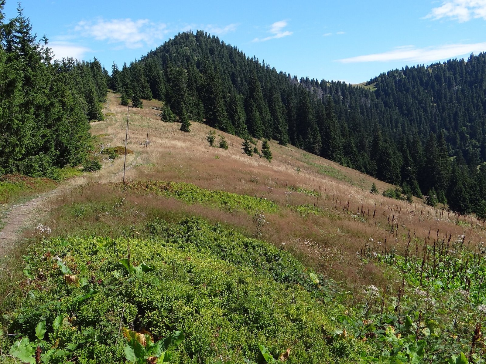
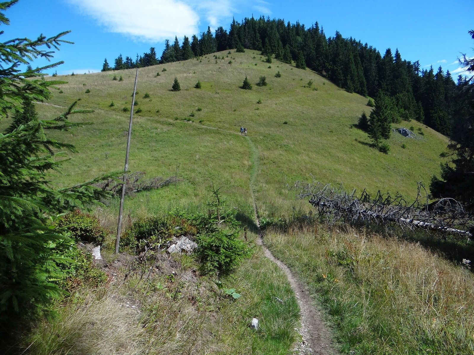
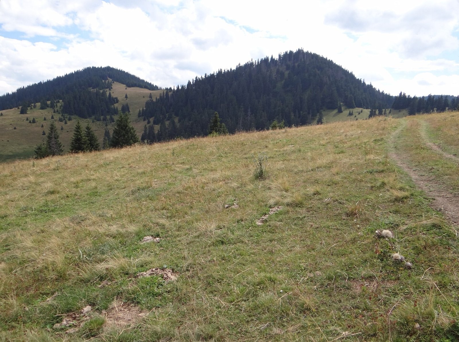
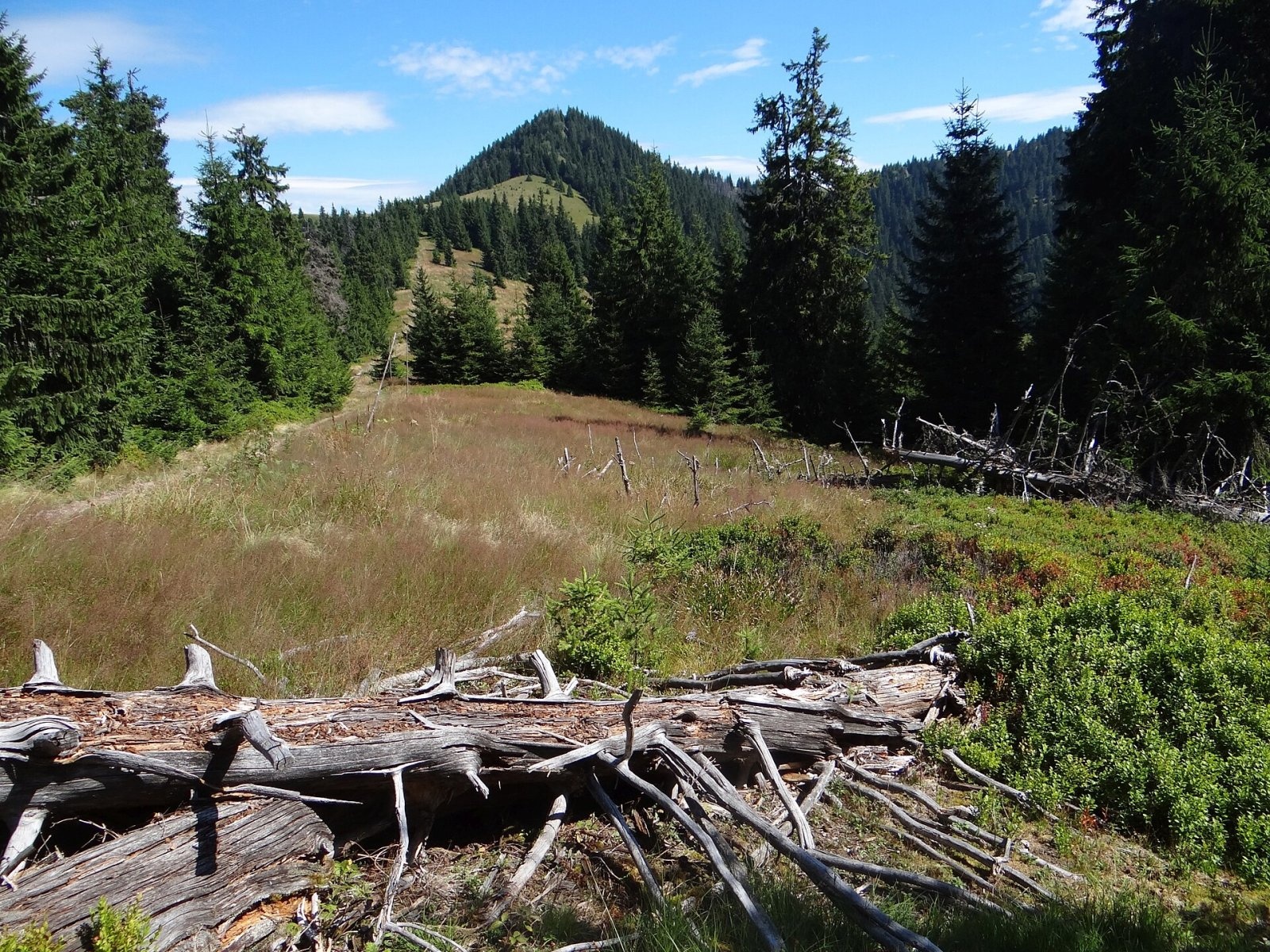
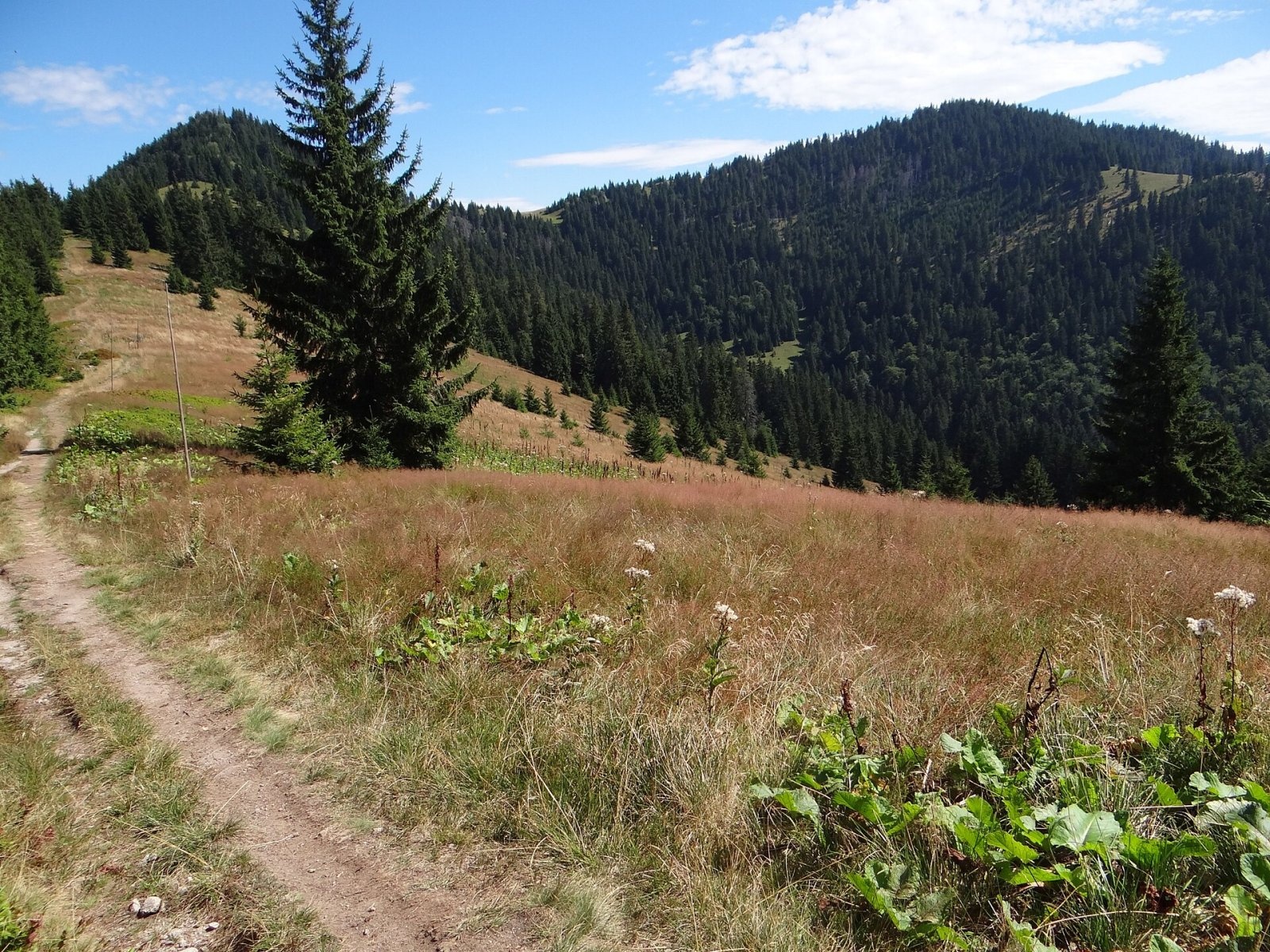
Šiprúň is a high, prominent mountain 1461 m tall in the north-eastern part of the Greater Fatra (Veľká Fatra) in Slovakia. It gives its name to a whole geomorphological subunit of the range – Šiprúň. The mountain lies in the so-called Liptov branch of the Greater Fatra, between Malá Smrekovica and Malinné, about 9 km south-west of Ružomberok, within the town's cadastre (Žilina Region). The nearest place is the mountain area of Smrekovica (about 3 km south), then the villages of Ludrová and Liptovská Osada.
Šiprúň has two summits. The lower north-western one, Predný Šiprúň (about 1441–1445 m), stands on the main ridge of the Liptov branch, which divides the Ľubochnianka valley to the west from the Revúca valley to the east. The main summit (1461 m) lies about 750 m to the south-east above the Revúca valley, at the start of a side ridge towards Pulčíkovo (1238 m). The two tops are separated by the Vyšné Šiprúnske sedlo saddle (1385 m). A little north of Predný Šiprúň lies the Nižné Šiprúnske sedlo (1327 m), an important junction of forest roads and hiking trails. The massif is surrounded by the Trlenská dolina to the east, the Čutkovská dolina to the north, Čierňavy to the west and Nižné Matejkovo to the south.
How to get there / routes
- Red trail from Podsuchá (part of Ružomberok in the Revúca valley) – up the Nižné Matejkovo valley to Vyšné Šiprúnske sedlo and then by a short spur to the summit: 9 km, 971 m of ascent, about 3 h 20 min up, 2 h 25 min down.
- From Vyšné Šiprúnske sedlo a short spur (red triangle) leads to the main summit: 0.8 km and 116 m of climbing, about 25 min up and 15 min down.
- The ridge trail of the long-distance route: from the north from Ružomberok via Sidorovo, or from the south from Ploská via Malá Smrekovica, to Nižné Šiprúnske sedlo.
- From Ružomberok-Černová – a marked trail via Chabzdová.
Below Chabzdová, at the end of the meadow by the red trail towards Tlstá hora, there is a hut where you can spend the night in an emergency.
What you can see from the top
Polish sources rank the view from Šiprúň – together with Krížna and Rakytov – among the finest in the whole Greater Fatra and describe an almost all-round panorama. According to Slovak sources, the sparse spruce forest on the summit limits the view somewhat. From suitable spots you see the neighbouring Greater Fatra peaks, the Liptov basin, the western Low Tatras, the Western Tatras, Veľký Choč and Oravská Magura, and in good conditions a large part of the Lesser Fatra ridge and Babia hora.
Nature and history
The upper part of the massif is made of massive Middle Triassic limestones and dolomites of the so-called Šiprúň series. The base is granite, which comes to the surface on the southern slopes in the Nižné Matejkovo valley. The massif falls away on all sides in wild, fairly steep slopes cut by numerous deep gullies and small valleys. Water from the southern slopes flows via the Matejkovský potok to the Revúca, from the northern ones into the Trlenská dolina.
Much of the upper slopes, including Vyšné Šiprúnske sedlo, is covered with mountain meadows, between which strips of spruce forest climb right up to the summit. On the rocks below the top grow the round-leaved and the biennial saxifrage. The mountain lies in the buffer zone of Veľká Fatra National Park. A spring called "Pod Šiprúňom" is mapped in the massif close to the summits.
Safety, season and rules
The climbs are long and the slopes of the massif steep, so plan your time and carry water. The open ridge meadows are exposed to wind and thunderstorms, and in fog it is easy to lose the path on the broad meadows. In winter the routes are snowbound and need winter gear. In the national park buffer zone stay on marked trails and take your litter home. Slovak Mountain Rescue Service (HZS): 18 300 (+421 18 300); general emergency number 112.
Interesting facts
- A geomorphological subunit of the Greater Fatra – Šiprúň – is named after the mountain.
- The main summit stands not on the main ridge but on a side ridge.
- Above the granite base the massif wears a limestone "cap" of Triassic rocks.
Photos: Jerzy Opioła, CC BY-SA 4.0; Jerzy Opioła, CC BY-SA 4.0; Jerzy Opioła, CC BY-SA 4.0; Jerzy Opioła, CC BY-SA 4.0; Jerzy Opioła, CC BY-SA 4.0 — Wikimedia Commons.
Getting there from Ukraine
Border crossings
- Uzhhorod – Vyšné Nemecké — road, 24/7
- Malyi Bereznyi – Ubľa — road, 24/7 For cars and buses; pedestrians not confirmed by the Ukrainian border service, lorries up to 3.5 t.
- Mali Selmentsi – Veľké Slemence (pedestrian) — pedestrian, 09:00–21:00 Kyiv time Pedestrians and cyclists only; inconvenient for the Tatras without onward transport.
- Chop – Čierna nad Tisou (rail) — rail, 24/7
By car
From Uzhhorod ≈275 km, ≈3 h 35 min without queues: Uzhhorod – Vyšné Nemecké → I/19 to Košice → D1 motorway via Prešov, Poprad and Liptovský Mikuláš to Ružomberok (≈270 km, ≈3 h 25 min from the border). From Lviv it is faster through Poland: M-10 → Krakovets – Korczowa → A4 to Kraków → S7/DK7 to the Chyżne – Trstená border → R3 and I/59 via Dolný Kubín to Ružomberok: ≈482 km, ≈6 h 15 min (via Uzhok and Ubľa ≈500 km, ≈7 h 30 min). The D1 requires an e-vignette (eznamka.sk).
Checked 23.10.2026; border crossing hours and timetables change — check before you travel.
Location on the map
Water and shelter nearby
- Spring below Šiprúň (north-west slope), 1 360 m230 m · Not verified · 1 360 m
- Spring under Šipruň260 m · Not verified · 1 368 m
- Spring below Šiprúň (north-west slope), 1 351 m280 m · Not verified · 1 351 m
- Hut under Šiprúň330 m · Not verified · 1 332 m
- Captured spring below Šiprúň360 m · Not verified · 1 329 m
- Spring below Predný Šiprúň (south-east slope), 1 346 m390 m · Not verified · 1 346 m
- Spring below Predný Šiprúň (south-east slope), 1 354 m440 m · Not verified · 1 354 m
- Spring below Predný Šiprúň (south-east slope), 1 311 m530 m · Not verified · 1 311 m
- Oznica Spring540 m · Not verified · 1 220 m
- Spring below Predný Šiprúň (south-east slope), 1 332 m560 m · Not verified · 1 332 m
- Spring below Šiprúň (north slope)620 m · Not verified · 1 290 m
- Matejkovský potok Spring650 m · Not verified · 1 203 m
- Spring below Šiprúň (south slope), 1 160 m690 m · Not verified · 1 160 m
- Spring below Predný Šiprúň (south-west slope), 1 245 m760 m · Not verified · 1 245 m
- Spring below Šiprúň (south slope), 1 196 m800 m · Not verified · 1 196 m
- Koliba under Vyšný Šiprúnsky Saddle810 m · Standing · 1 276 m
Comments
Trails nearby
All trails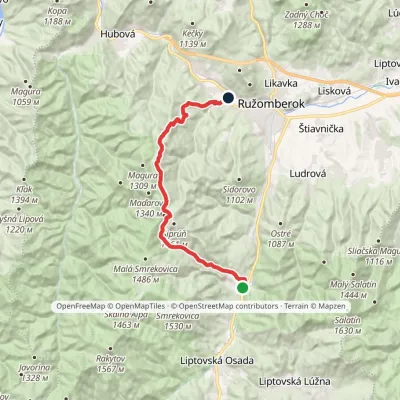 ModerateTwo-dayMarkedPodsuchá Nová ČernováElevation profile471–1 379 m19.1 kmascent 884 m≈ 6.5 h walkingunder 1 km from Šiprúň
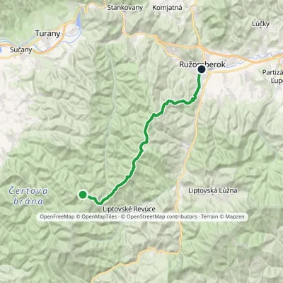 HardTwo-dayMarkedRužomberok, A Hlinka Square Hut under Borišov, junctionElevation profile494–1 567 m30 kmascent 889 m≈ 9.5 h walkingunder 1 km from Šiprúň
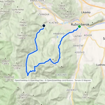 ModerateOne-dayMarkedRužomberok, Námestie A. Hlinku Čutkovská dolinavia Sedlo pod VtáčnikomElevation profile498–1 209 m15.1 kmascent 727 m≈ 5 h walking1.7 km from Šiprúň
Nearby attractions
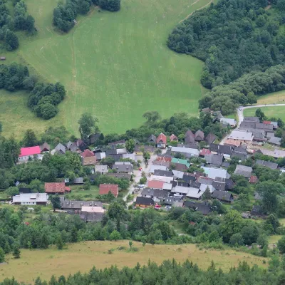 Historic siteVlkolínecRužomberok4 km from ŠiprúňVlkolínec is a mountain settlement on the slopes of the Veľká Fatra below Sidorovo hill, formally part of the town of Ružomberok.
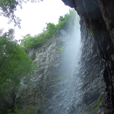 WaterfallBrankovský waterfall — the highest in the Low TatrasLiptovská Osada6.8 km from ŠiprúňThe Brankovský waterfall (Brankovský vodopád) is the highest waterfall in the Low Tatras: the water drops 55 m.
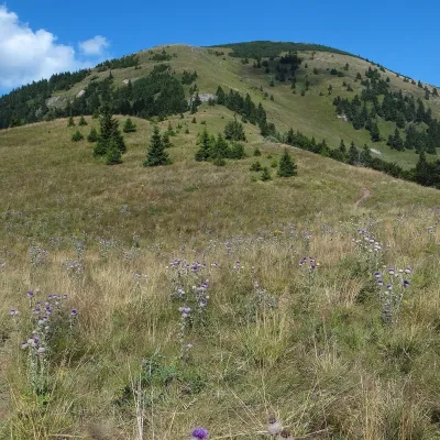 Mountain meadowThe hole of Rakytov – the grassy Liptov ridge of Veľká FatraLiptovské Revúcealtitude 1 567 m7.9 km from ŠiprúňRakytov (1,567 m) is the highest summit of the Liptov branch of the main ridge of Veľká Fatra in Slovakia, in the Hôľna Fatra subunit, whose name comes from "hole" –...
Craft nearby
All craft places Craft beer & breweriesURSUS craft brewery, Čutkovská valleyRužomberok6.6 km from ŠiprúňURSUS craft brewery (Remeselný pivovar URSUS) is the first brewery of the town of Ružomberok, tucked away in the picturesque Čutkovská valley in lower Liptov.
 Cheese dairies & pasturesSalaš Krajinka near RužomberokRužomberok9.3 km from ŠiprúňSalaš Krajinka is a genuine sheep farm on the edge of Ružomberok in lower Liptov. It was founded in 1983 to keep a thousand sheep, and the owners have deliberately...
 Water parks & thermal poolsLúčky Spa and AQUA-VITAL ParkLúčky17 km from ŠiprúňLúčky Spa (Kúpele Lúčky) lies in a quiet valley beneath the Choč Mountains, in the village of Lúčky near Ružomberok.
 Water parks & thermal poolsBešeňová Water ParkBešeňová18 km from ŠiprúňBešeňová — the "thermal heart of Liptov" Bešeňová Water Park (Vodný park Bešeňová) lies on the edge of the village of the same name in the western part of the Liptov...
 Koliby & Hutsul cuisineSalaš Dechtáre above Liptovská MaraGalovany22 km from ŠiprúňSalaš Dechtáre is a wooden koliba above the Liptovská Mara reservoir that is described as one of Slovakia’s first commercial salaš restaurants.
 Water parks & thermal poolsAquapark TatralandiaLiptovský Mikuláš27 km from ŠiprúňAquapark Tatralandia is a large year-round water leisure complex near Liptovský Mikuláš, on the northern shore of the Liptovská Mara reservoir.
