Ružomberok, Námestie A. Hlinku — Čutkovská dolina, via Sedlo pod Vtáčnikom
Trail map
Route, springs and shelters: © OpenStreetMap contributors (ODbL) · elevation: Copernicus DEM © DLR e.V., © Airbus DS · Data & licences
About the trail
Route Ružomberok, Námestie A. Hlinku – Sedlo pod Vtáčnikom – Čutkovská dolina. Has blue marking (regional route №2718, KST). Waymarking data: OpenStreetMap (© OpenStreetMap contributors, ODbL).
Officially marked regional tourist route No. 2718. Marking is blue, sign — horizontal stripe on a white background. Marked and maintained by: KST. Length of the route — 15.1 km. Location: mountain range — Veľká Fatra, Slovakia.
At a glance
A one-day route of 15.1 km with 727 m of ascent from Ružomberok, Námestie A. Hlinku to Čutkovská dolina. Estimated walking time: about 5 h, not counting stops. Difficulty: moderate. Waymarking: blue.
Route stages
- 0–7 kmClimb of 690 m to Malinné (1,209 m)
- 7–15 kmDescent of 670 m to Čutkovská dolina
Steepest kilometre: km 6–7, a climb of 250 m (≈25%), near Malinné.
Water and overnight stays
Springs near the trail: at km 0, 1, 2, 4, 5, 6, 8, 9, 10 and 11 etc..
Huts and shelters near the trail: Majekova Hut (km 6), Chata pod Kozím (km 11).
When to go
Best time: May to October. In winter deep snow is possible, so experience and winter gear are needed.
Getting there
Start: Ružomberok, Námestie A. Hlinku. This is a one-way route: the finish is 3 km from the start in a straight line, so plan your way back in advance.
FAQ
- How long does the route take?
- Estimated walking time: about 5 h, not counting stops.
- Is there water on the route?
- Springs near the trail: at km 0, 1, 2, 4, 5, 6, 8, 9, 10 and 11 etc..
- Where can I stay overnight?
- Huts and shelters near the trail: Majekova Hut (km 6), Chata pod Kozím (km 11).
Water and shelter on the route
- Drinking water below Mníchkm 0 from the start · 80 m off the path · Not verified · 492 m
- Spring below Hrabovo (east slope), 535 mkm 1.1 from the start · 70 m off the path · Not verified · 535 m
- Spring below Hrabovo (south slope)km 1.8 from the start · Not verified · 603 m
- Spring below Hrabovo (south-west slope), 604 mkm 2.2 from the start · 90 m off the path · Not verified · 604 m
- Spring below Vlčí zub (west slope), 689 mkm 3.6 from the start · 230 m off the path · Not verified · 689 m
- Spring below Haliny (south-east slope), 815 mkm 4.8 from the start · Not verified · 815 m
- Majekova Hutkm 5.8 from the start · 280 m off the path · Standing · 941 m
- Spring below Haliny (west slope)km 5.9 from the start · 150 m off the path · Not verified · 916 m
- Spring below Nemecký vrch (west slope), 1 077 mkm 7.7 from the start · 150 m off the path · Not verified · 1 077 m
- Spring below Vtáčnik (north slope), 1 021 mkm 8.6 from the start · 120 m off the path · Not verified · 1 021 m
- Čutkov potok Spring, 1 040 mkm 9.1 from the start · 130 m off the path · Not verified · 1 040 m
- Spring below Nemecký vrch (west slope), 859 mkm 10.3 from the start · 150 m off the path · Not verified · 859 m
- Spring below Chabzdová (east slope)km 10.8 from the start · Not verified · 757 m
- Chata pod Kozímkm 11.2 from the start · Standing · 629 m
- Spring below Za Brdom (south-west slope), 708 mkm 11.3 from the start · 40 m off the path · Not verified · 708 m
- Spring below Za Brdom (south-west slope), 803 mkm 11.8 from the start · 240 m off the path · Not verified · 803 m
- Spring below Za Brdom (south-west slope), 750 mkm 12.2 from the start · 220 m off the path · Not verified · 750 m
- Spring below Brdo (west slope), 638 mkm 12.9 from the start · 60 m off the path · Not verified · 638 m
- Šimiace Springkm 13.4 from the start · Not verified · 613 m
- Spring below Čutkovo (west slope), 571 mkm 13.9 from the start · 60 m off the path · Not verified · 571 m
- Captured Spring under Dubkm 14.8 from the start · 40 m off the path · Not verified · 526 m
Comments
Trails nearby
All trails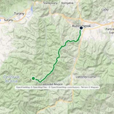 HardTwo-dayMarkedRužomberok, A Hlinka Square Hut under Borišov, junctionElevation profile494–1 567 m30 kmascent 889 m≈ 9.5 h walking
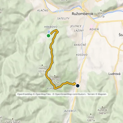 EasyOne-dayMarkedBiely Potok Hrabovo, Hotel Primus-RybárpoleElevation profile512–863 m7 kmascent 344 m≈ 2.5 h walking
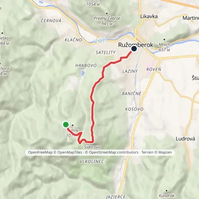 EasyOne-dayMarkedRužomberok, Námestie A Hlinku Malinô BrdoElevation profile498–1 105 m7.1 kmascent 291 m≈ 2.5 h walking
Craft nearby
All craft places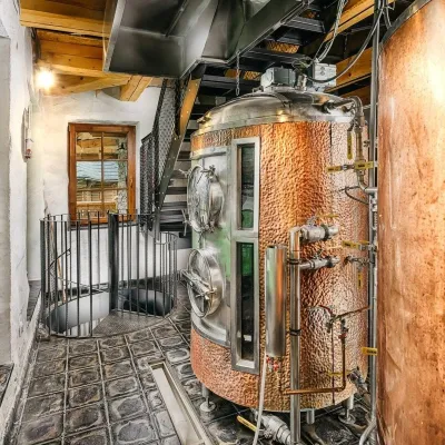 Craft beer & breweriesURSUS craft brewery, Čutkovská valley3.5 km from the trailURSUS craft brewery (Remeselný pivovar URSUS) is the first brewery of the town of Ružomberok, tucked away in the picturesque Čutkovská valley in lower Liptov.
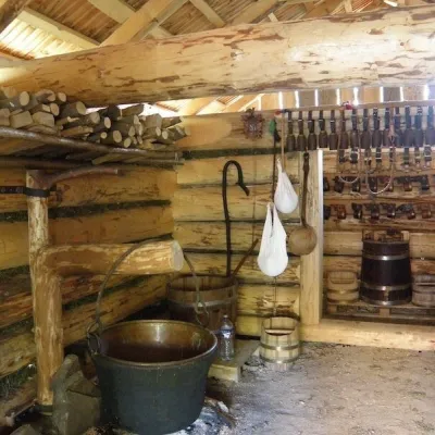 Cheese dairies & pasturesSalaš Krajinka near Ružomberok6 km from the trailSalaš Krajinka is a genuine sheep farm on the edge of Ružomberok in lower Liptov. It was founded in 1983 to keep a thousand sheep, and the owners have deliberately...
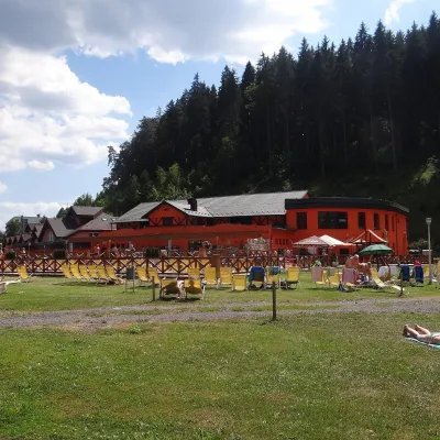 Water parks & thermal poolsLúčky Spa and AQUA-VITAL Park9.1 km from the trailLúčky Spa (Kúpele Lúčky) lies in a quiet valley beneath the Choč Mountains, in the village of Lúčky near Ružomberok.
 Water parks & thermal poolsBešeňová Water Park11 km from the trailBešeňová — the "thermal heart of Liptov" Bešeňová Water Park (Vodný park Bešeňová) lies on the edge of the village of the same name in the western part of the Liptov...
 Koliby & Hutsul cuisineSalaš Dechtáre above Liptovská Mara15 km from the trailSalaš Dechtáre is a wooden koliba above the Liptovská Mara reservoir that is described as one of Slovakia’s first commercial salaš restaurants.
 Water parks & thermal poolsAquapark Tatralandia20 km from the trailAquapark Tatralandia is a large year-round water leisure complex near Liptovský Mikuláš, on the northern shore of the Liptovská Mara reservoir.
