Mountain shelter
Chata pod Kozím
Slovakia · Greater Fatra range · 629 m
Condition
StandingNo hikers’ reports yet. According to open data the hut is open — check its website or call before setting out.
Last edited on the OSM map 19.02.2016
- 629 m
- Staffed
Practical info
- Run by: Meské lesy
About
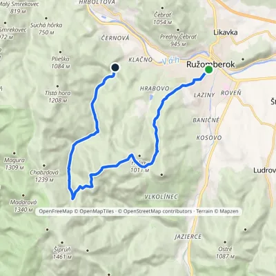
Greater Fatra range, about 630 m above sea level. The trail “Ružomberok, Námestie A. Hlinku – Sedlo pod Vtáčnikom – Čutkovská dolina” passes nearby.
Run by Meské lesy. The hut is staffed. The nearest known spring is 150 m away.
On the map
Coordinates: 49.05667, 19.23419
How to get there
Trails nearby
Report the condition
Been here recently? Tell us what you saw and add photos — your report appears on the page right away with today’s date.
No photos yet — send yours together with a condition report.
