Kalyny

Kalyny is a settlement in the Carpathian region of Ukraine. Location: Tiachiv district, Transcarpathian region. Worth seeing nearby: Sheep's Cheese Masterclass on the Apetska Polonyna, Vodytsia — 8 km; Produkty Karpat meat producer, Neresnytsia — 8 km; Church of the Assumption of the Blessed Virgin Mary, Novoselytsia — 8 km. The nearest peaks: Mount Apetska — 1 512 m; Mount Tempa — 1 634 m; Mount Shpanska — 1 458 m. Hiking trails close by: Dubove village, via Mount Apetska, Mount Dohiaska, Mount Stih and Mount Blyznytsia to Kvasy village; Dubove village – Mount Apetska – Dubove village. There are places to stay here and nearby, from guest houses to hotels.
Below: places to stay, sights, trails and peaks nearby, the weather and answers to frequent questions.
What to visit
Landmarks, museums and places of interest near Kalyny.
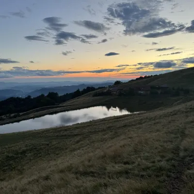 Cheese dairies & pasturesSheep's Cheese Masterclass on the Apetska Polonyna, VodytsiaVodytsia7.8 km from the centreThe Apetska polonyna is a broad high-mountain pasture on the southern slopes of the Svydovets range, below Mount Apetska (1,512 m).
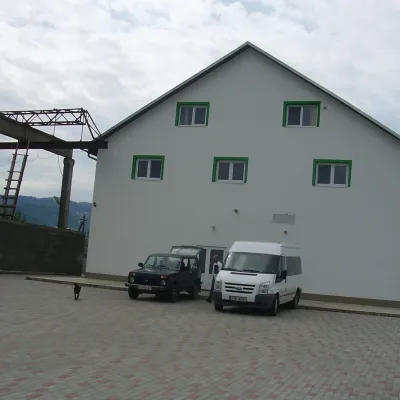 Craft producersProdukty Karpat meat producer, NeresnytsiaNeresnytsia7.9 km from the centreProdukty Karpat ("Carpathian Products") is a family farm and sausage maker in the village of Neresnytsia in the Tiachiv area, in the Teresva river valley.
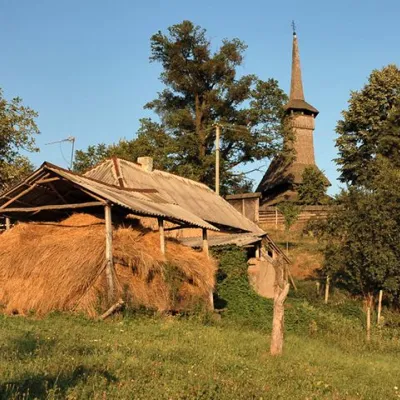 ChurchChurch of the Assumption of the Blessed Virgin Mary, NovoselytsiaNovoselytsia8 km from the centreThe Church of the Assumption (built in the mid-17th century) is located in the center of Novoselytsia, a small village in the Zakarpattia region.
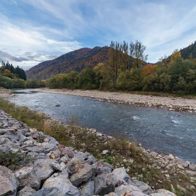 RiverTeresva RiverUst-Chorna21 km from the centreThe Teresva forms in Ust-Chorna, where the Mokrianka and Brusturianka meet, and flows south through Dubove, Kalyny, Hanychi and Neresnytsia to the town of Teresva,...
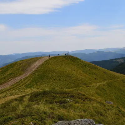 Mountain meadowPolonyna KrasnaKolochavaaltitude 1 450 m · Svydovets range25 km from the centrePolonyna Krasna is a massif of the Polonynskyi Ridge in Zakarpattia, in the Tiachiv and partly the Khust districts, between the valleys of the Tereblia and the Teresva.
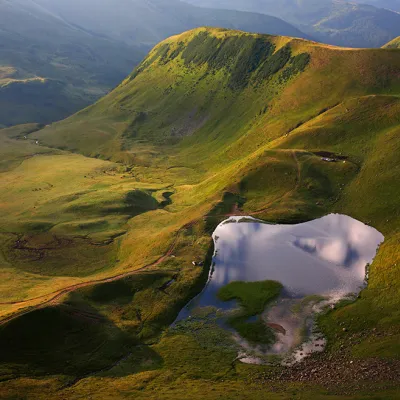 LakeLake Gereshaska (Dogyaska)Yasinya26 km from the centreGerashaska (another name - Dogyaska ) is a high-mountain lake in the Ukrainian Carpathians, within the Rakhiv district of Zakarpattia region.
Craft nearby
All craft places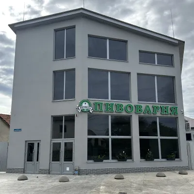 Craft beer & breweriesYanovets Brewery, TiachivTyachiv26 km from the centreYanovets Brewery is a small town brewery with its own shop in Tiachiv, on Zaliznychna Street near the railway station.
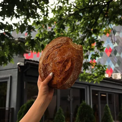 Craft producersDU-MEN craft bakery, RakhivRakhiv26 km from the centreDU-MEN (DU•MEN.craft bakery) is a craft bakery in Rakhiv which, in its own words, has been baking “bread with a history” for twelve years.
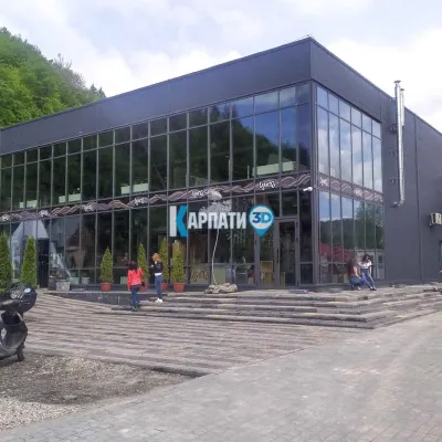 Craft beer & breweriesTsypa Brewery, KvasyKvasy30 km from the centreThe Tsypa Hutsul craft brewery in Kvasy is probably the best-known brewery in the Ukrainian Carpathians.
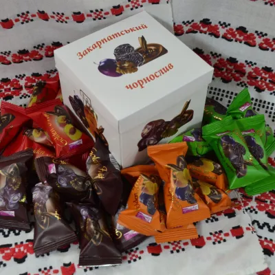 Craft producersGolden Fruit sweets, BushtynoBushtyno30 km from the centreGolden Fruit is a confectionery producer in Bushtyno in the Tiachiv area that has been making chocolates of dried fruit and walnuts in chocolate glaze since 2006.
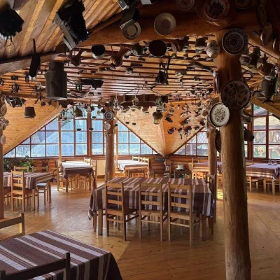 Koliby & Hutsul cuisineKolyba Museum, DiloveDilove31 km from the centreThe Kolyba Museum in Dilove is a timber restaurant serving Hutsul food right on the H09 highway, a few steps from the marker of the geographical centre of Europe in...
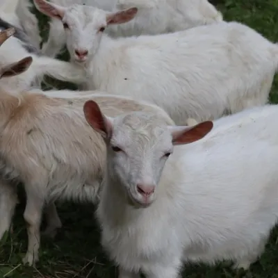 Eco farmsRozental Eco-Farm and Cheese Dairy, KvasyKvasy31 km from the centreBeer and cider are brewed here, sheep's-milk ice cream is made, and in the Vaskul area above the village sits the Rozental eco-farm and cheese dairy.
Where to stay
Hotels, guesthouses and cottages in and around Kalyny.
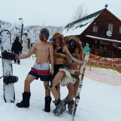 HotelHotel Complex "Velykyi" KalynyKalyny3.2 km from the centrePoolSaunaBBQ
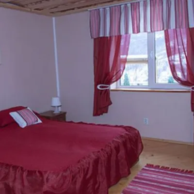 HotelComplex "Sadiba Lazok"Kobyletska Poliana17 km from the centreSaunaKitchenKidsNearby: Mt Kobyla 2.8 km
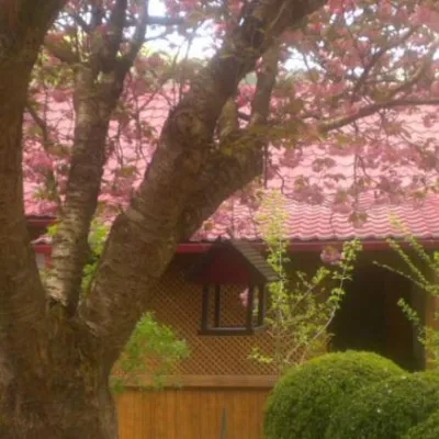 HotelComplex "Kvasny"Kobyletska Poliana18 km from the centreSaunaNearby: Mt Kobyla 2.8 km
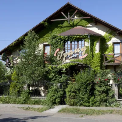 HotelHotel "Grand"Velykyi Bychkiv20 km from the centrePoolSaunaBBQ
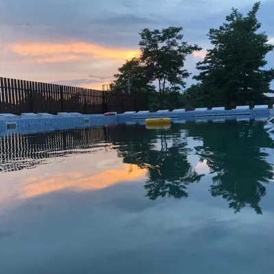 HotelRecreation Base "FIESTA" SolotvynoSolotvyno21 km from the centrePoolBBQKitchen
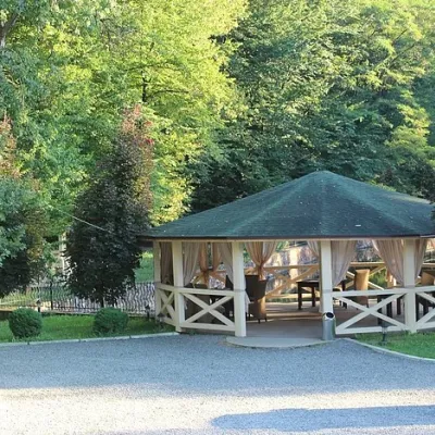 HotelSanatorium-Hotel Complex "Solotvyno"Solotvyno21 km from the centrePoolSaunaKitchen
Trails nearby
All trails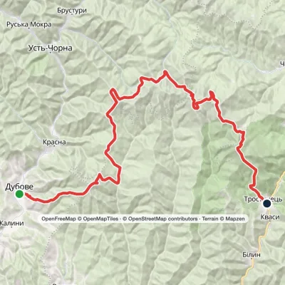 HardMulti-dayDubove village to Kvasy villagevia Mount Apetska, Mount Dohiaska +2Elevation profile387–1 872 m69.1 kmascent 4 660 m3.9 km from the centre
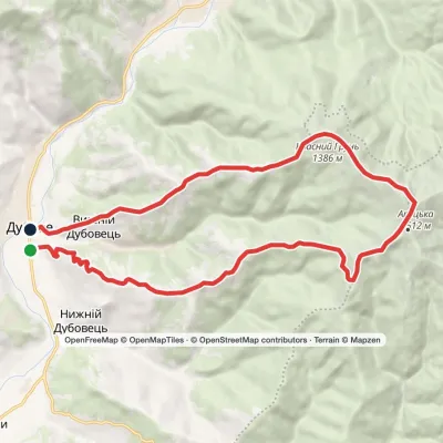 HardTwo-dayDubove village loopvia Mount ApetskaElevation profile386–1 508 m21.2 kmascent 1 187 m≈ 7.5 h walking3.9 km from the centre
 HardMulti-dayDragobrat to Krasna villagevia Mount Stih, Mount Velykyi Kotel +2Elevation profile421–1 756 m35.3 kmascent 783 m≈ 10.5 h walking9.8 km from the centre
Peaks nearby
All peaks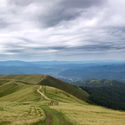 PeakMount ApetskaDubovealtitude 1 512 m10 km from the centre2 trails to the topApetska is a peak in the Ukrainian Carpathians, on the border of the Tyachiv and Rakhiv districts of Zakarpattia region.
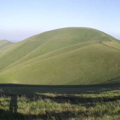 PeakMount TempaUst-Chornaaltitude 1 634 m · Svydovets range19 km from the centre11 trails to the topTempa is a 1,634-meter peak in the western part of the Svydovets mountain range of the majestic Ukrainian Carpathians, located in the Tyachiv district of Zakarpattia...
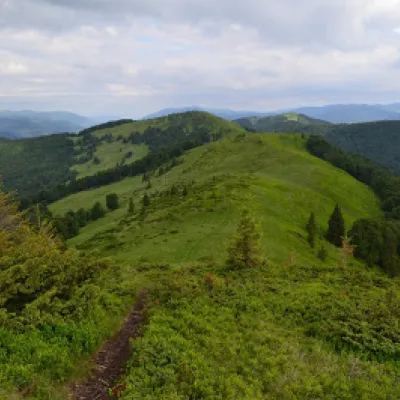 PeakMount ShpanskaUst-Chornaaltitude 1 458 m19 km from the centre10 trails to the topThe top of Mount Shpanska (1458 meters above sea level) is located northwest of Mount Tempa within the Tyachiv district of Zakarpattia region.
