Jablonové
Jablonové is a village in Slovakia.
Elevation: about 229 m above sea level. Population: 1,457 (2025).
Here and nearby on the site: 1 trail.
Facts: Wikidata, OpenStreetMap. More on Wikipedia
Comments
Travellers’ experience: reports, tips, questions.
No one has written here yet. Be the first — your experience helps others.
What's nearby
Trails nearby
All trails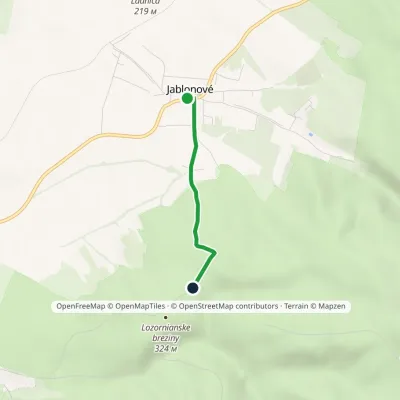 EasyOne-dayMarkedJablonové Na VŕškochElevation profile231–339 m2.1 kmascent 108 m≈ 45 min walkingunder 1 km from the centre
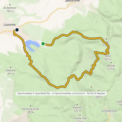 ModerateOne-dayMarkedLozorno RusniakyElevation profile191–502 m16.9 kmascent 450 m≈ 5 h walking1.8 km from the centre
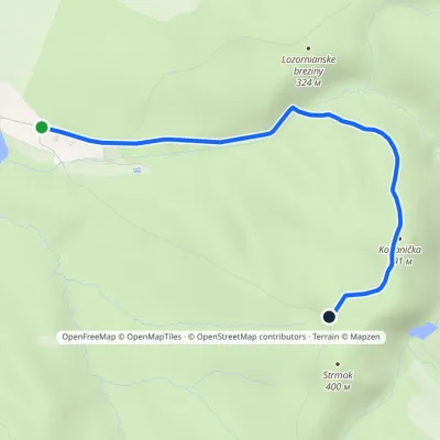 EasyOne-dayMarkedRusniaky MočiarnaElevation profile232–402 m3.6 kmascent 170 m≈ 1 h walking2.5 km from the centre
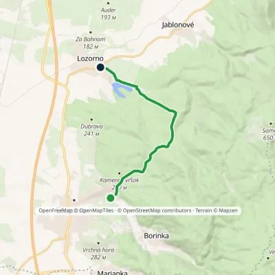 EasyOne-dayMarkedStupava, upper Obora LozornoElevation profile198–404 m9.9 kmascent 205 m≈ 3 h walking3.2 km from the centre
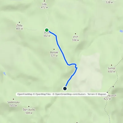 EasyOne-dayMarkedSkala PrepadléElevation profile457–553 m2.4 kmascent 45 m≈ 45 min walking3.9 km from the centre
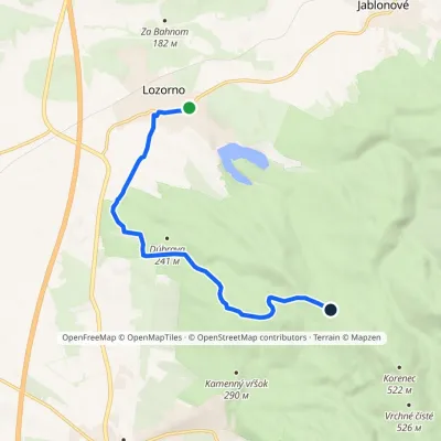 EasyOne-dayMarkedLozorno Lintavy, red houseElevation profile187–360 m8.2 kmascent 185 m≈ 2.5 h walking3.9 km from the centre
Peaks nearby
All peaks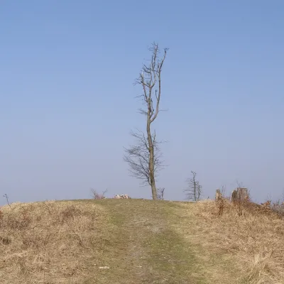 PeakSomárLimbachaltitude 650 m6 km from the centreSomár (Slovak for "donkey") is a 650 m summit in the Little Carpathians, the highest in the south-western part of the range.
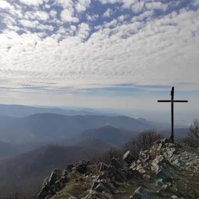 PeakVysoká (Little Carpathians)Kuchyňaaltitude 754 m12 km from the centreVysoká is the second-highest summit of the Little Carpathians after Záruby. Slovak geodetic data give it 754.3 m; some other sources state 759 m.
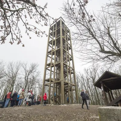 PeakVeľká homoľaModraaltitude 709 m12 km from the centreVeľká homoľa is a summit 709 m high in the Little Carpathians (Malé Karpaty), in their Pezinok Carpathians part (Homoľské Karpaty).
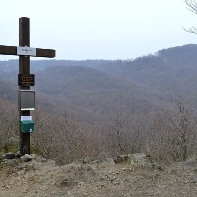 PeakMalá BaňaBorinkaaltitude 361 m15 km from the centreMalá Baňa is a modest 361 m summit in the Little Carpathians (Malé Karpaty), directly above the Bratislava borough of Rača.
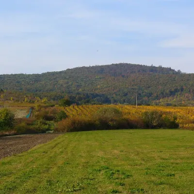 PeakKuklaDubováaltitude 564 m17 km from the centreKukla is a distinctive, solitary 564 m summit in the Little Carpathians (Malé Karpaty) in western Slovakia, in the section known as the Pezinok Carpathians.
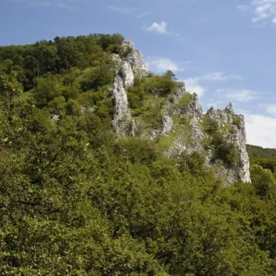 PeakVápennáSološnicaaltitude 752 m18 km from the centreVápenná (also Roštún; German Rachsthurn) is a 752 m summit and the third highest peak of the Little Carpathians.
What to visit
All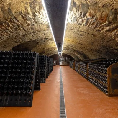 Wine & tastingsVIAJUR winery in Svätý Jur: tastings in the Pálffy cellarsSvätý Jur13 km from the centreWine in old cellars on the edge of Bratislava Svätý Jur is an old wine town at the very foot of the Little Carpathians, just beyond the Bratislava city limits.
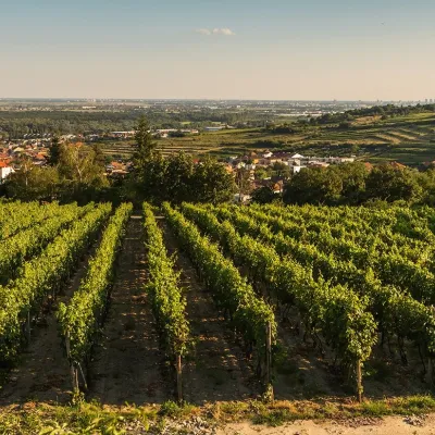 Wine & tastingsDubovský & Grančič Winery, Svätý Jur: tastings and sektSvätý Jur14 km from the centreFrom sixty ares to “Winemaker of the Year” Svätý Jur is an old wine town on the southern slopes of the Little Carpathians, just beyond the Bratislava city limits.
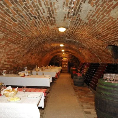 Wine & tastingsHACAJ winery in Pezinok: sparkling wine in a 300-year-old cellarPezinok14 km from the centrePezinok is the centre of the Little Carpathian Wine Route, a town where winegrowers’ houses with deep cellars line the old streets.
 Wine & tastingsJuran z Modry winery: tastings in a Modra wine shopModra16 km from the centreModra is one of the main wine towns of the Little Carpathians: every other courtyard has its own cellar, and rows of vines climb the slopes above the town.
 Crafts & workshopsSlovak Folk Majolica in Modra: pottery tour and paintingModra16 km from the centreModra is a small wine town on the eastern slopes of the Little Carpathians, half an hour’s drive from Bratislava.
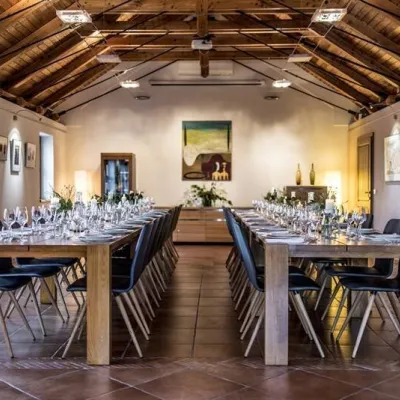 Wine & tastingsKarpatská Perla winery in Šenkvice: tastings and cellarŠenkvice20 km from the centreFrom a home cellar to Winery of the Year Šenkvice is a wine village on the plain below the eastern slopes of the Little Carpathians, between Pezinok and Modra.
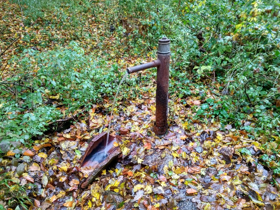
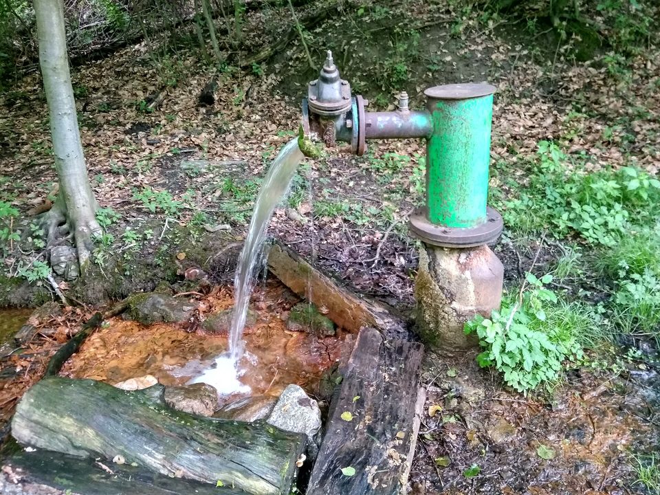
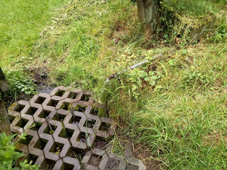
Huts, shelters and springs nearby
Getting there from Ukraine
Border crossings
- Uzhhorod – Vyšné Nemecké — road, 24/7
- Malyi Bereznyi – Ubľa — road, 24/7 For cars and buses; pedestrians not confirmed by the Ukrainian border service, lorries up to 3.5 t.
- Mali Selmentsi – Veľké Slemence (pedestrian) — pedestrian, 09:00–21:00 Kyiv time Pedestrians and cyclists only; inconvenient for the Tatras without onward transport.
- Chop – Čierna nad Tisou (rail) — rail, 24/7
By car
Uzhhorod – Poprad ≈195 km, ≈2 h 55 min without queues: Uzhhorod – Vyšné Nemecké checkpoint → I/19 via Sobrance and Michalovce → Košice → D1 motorway via Prešov → Poprad (Liptovský Mikuláš is ≈56 km further on the D1, total ≈249 km). Košice – Poprad ≈112 km. The D1 requires an e-vignette (eznamka.sk). Note: from Lviv the fastest way to Poprad is through Poland — Krakovets – A4 – Kraków – Zakopane – Łysa Polana ≈468 km (≈5 h 50 min); via Uzhok and Malyi Bereznyi ≈419 km but slower (≈6 h 40 min). Zakopane – Poprad ≈69 km, Zakopane – Liptovský Mikuláš ≈80 km.
Checked 23.10.2026; border crossing hours and timetables change — check before you travel.
