Song thrush
About
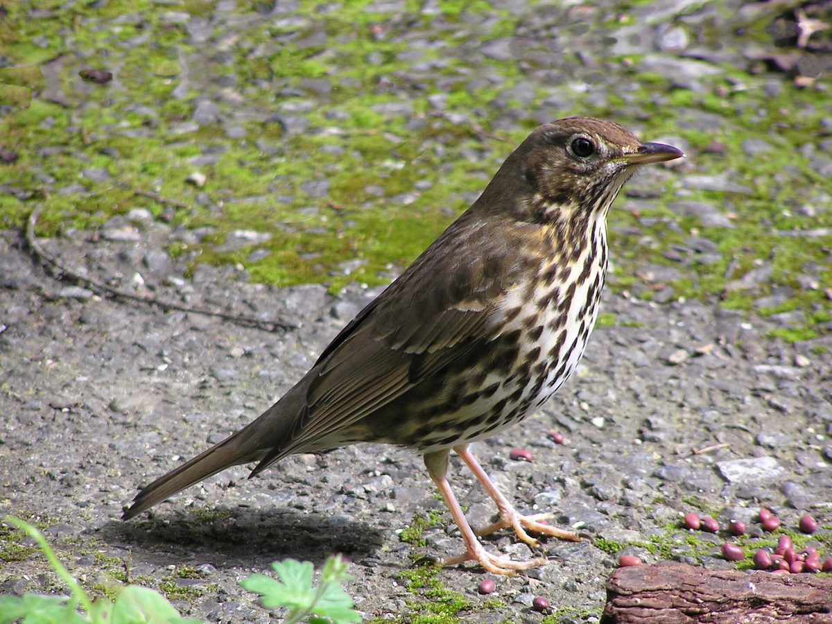
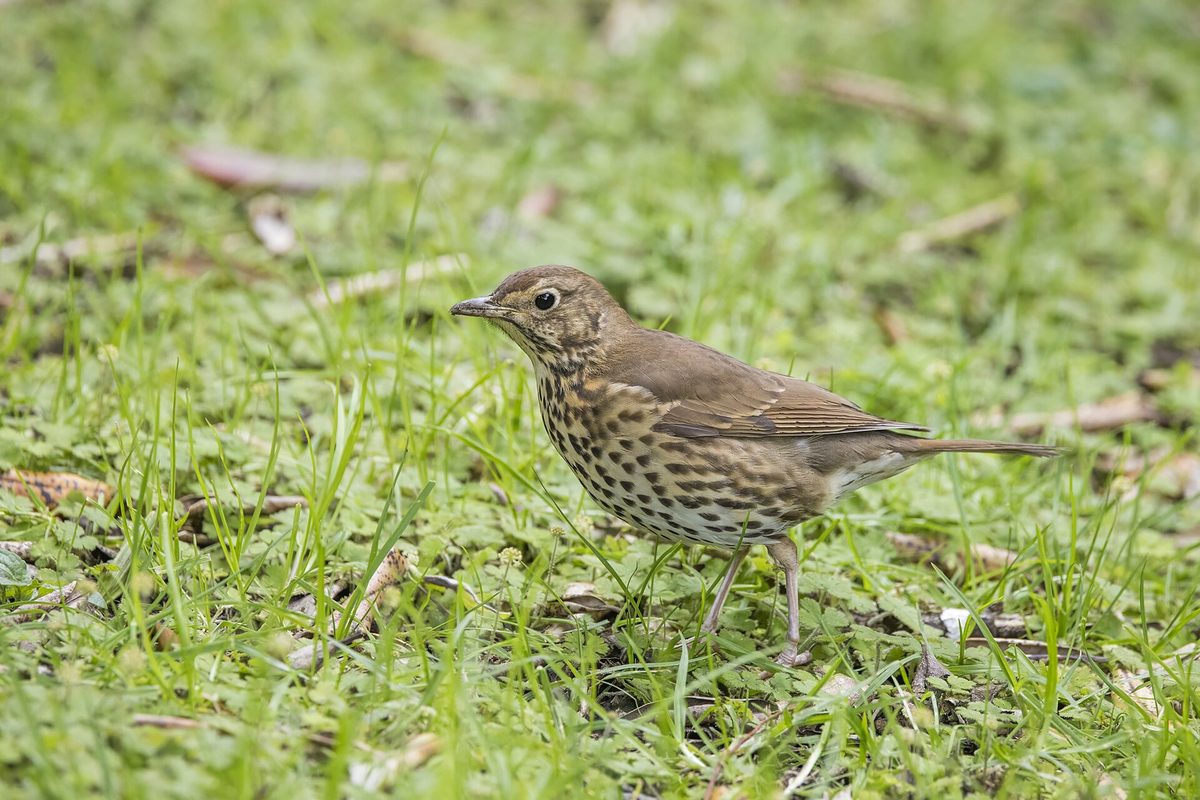
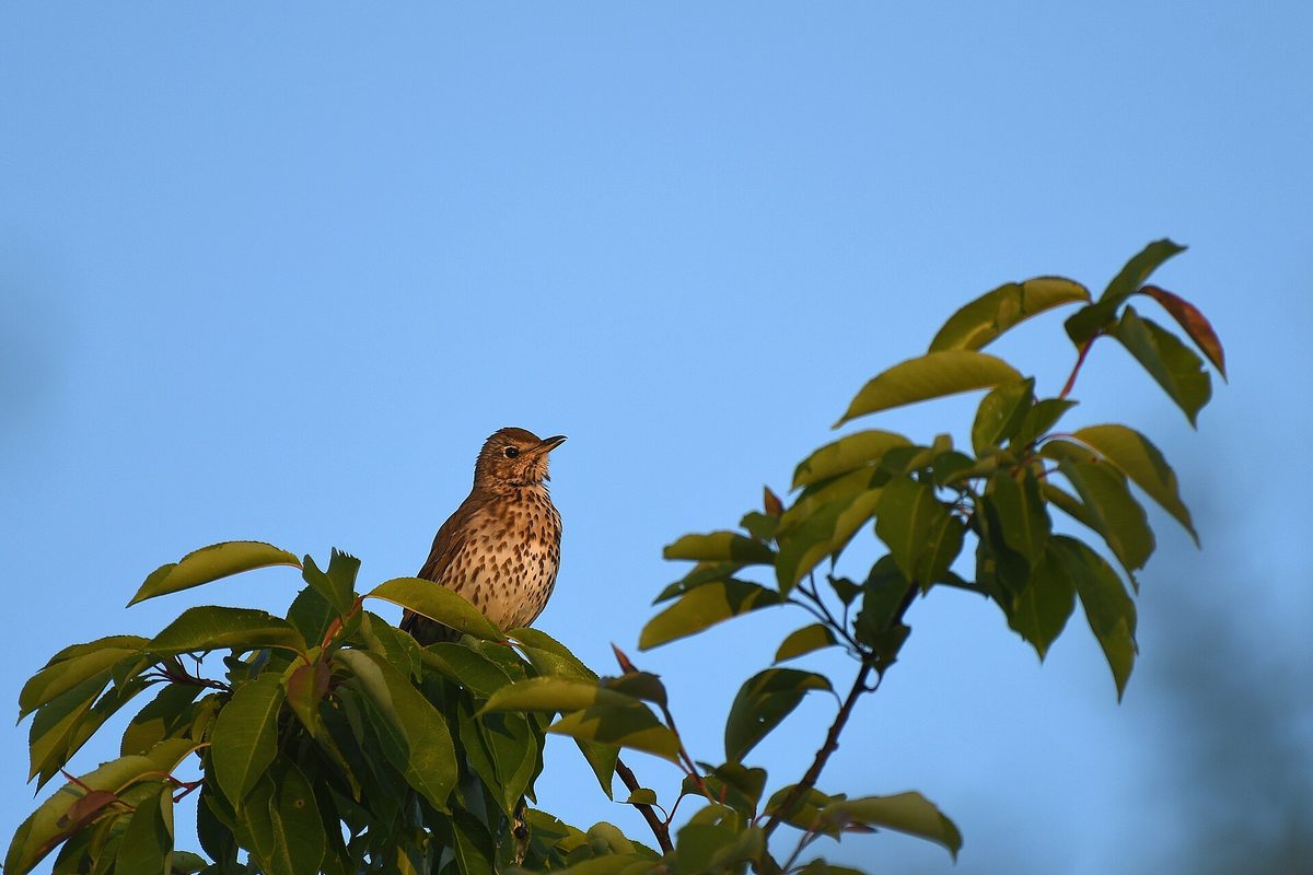
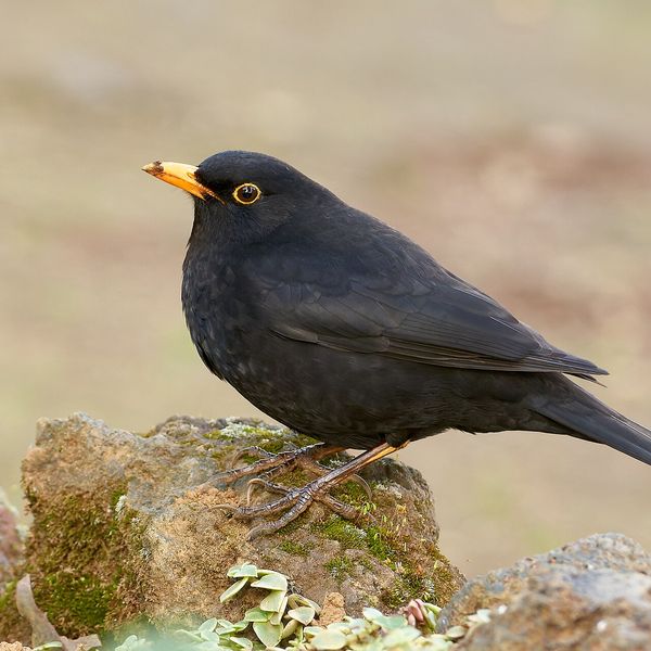
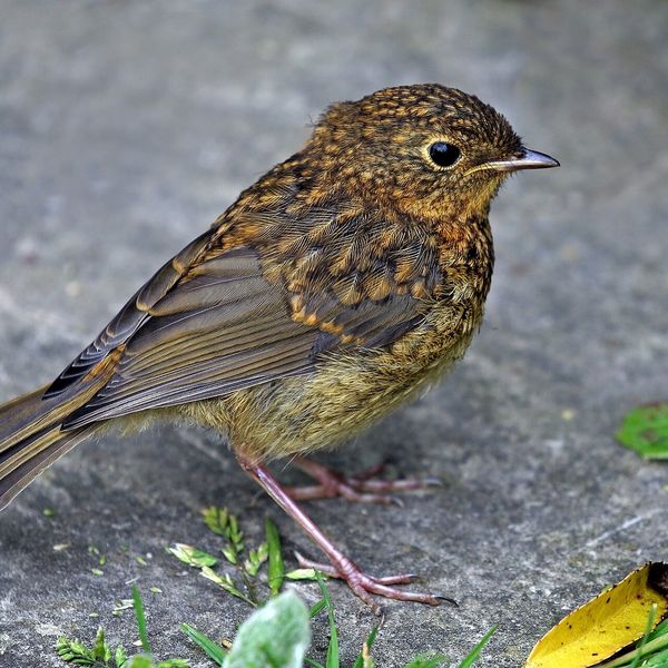
The Song thrush is smaller than the blackbird: 20–23 cm long. The upper body is uniformly brown, the underside is creamy-white, densely covered with dark spots resembling arrow tips. The male and female are colored alike.
This bird is easiest to find by its song. The male sings from the top of a tree at dawn and in the evening twilight. The song is loud, flute-like, composed of short phrases, and each thrush repeats each phrase two to four times before moving on to the next. It is these repetitions that distinguish it from the blackbird, which sings smoothly and without repeats.
In the Carpathians, the Song thrush inhabits deciduous, mixed, and spruce forests with undergrowth from the foothills to the upper tree line, as well as parks and old gardens. It feeds on earthworms, insects, and in autumn, berries. It particularly loves snails: the bird breaks the shell against a stone, and near such an 'anvil' on the path, there is often a pile of fragments.
The nest is built low in a tree or in bushes. Inside, it is smooth, as if plastered: the bird coats the cup with a mixture of decayed wood and clay. The eggs are bright blue with black spots.
This is a migratory bird: it arrives in March and departs in September — October.
Where in the Carpathians

Teal — roughly where the species can occur, by elevation and habitat; orange — where naturalists recorded it (GBIF, CC0/CC BY).
Range: elevation belt and forests — our model (AWS Terrain Tiles; © OpenStreetMap)
- Countries
- Ukraine · Slovakia · Czechia · Poland · Hungary · Romania · Serbia · Austria · BG
- Mountain ranges
- nearly all Carpathian ranges, in the forest belt
- Altitude belts
- Foothills (below 600 m) · Beech forests (600–1200 m)
When to see it
| Jan | Feb | Mar | Apr | May | Jun | Jul | Aug | Sep | Oct | Nov | Dec | |
|---|---|---|---|---|---|---|---|---|---|---|---|---|
| Sightings |
From naturalists’ observations in the Carpathians (iNaturalist, research grade): the darker the cell, the more often the species is seen that month.
Protection and rules
Not listed in the Red Data Book of Ukraine.
FAQ
How to recognize the song of the Song thrush?
By the repetitions: each short phrase is sung by the bird two to four times in a row, and then it starts a new one. It sings from the top of a tree in the morning and evening.
Who breaks snails on stones in the forest?
Most often, it is the Song thrush. It hits the shell against a stone to get the snail and uses the same 'anvil' many times.
Comments
Travellers’ experience: reports, tips, questions.
No one has written here yet. Be the first — your experience helps others.
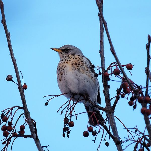
Similar species
Where to meet it
Trails
 Hard1–2 daysTukhlia village to Skolevia Mount Kindrat, Mount Matahiv +2Elevation profile445–1 265 m29.6 kmascent 1 569 m≈ 10 h walking
 Hard1–2 daysDubyna village to Tukhlia villagevia Kamianka Waterfall, Mount Lopata +1Elevation profile418–1 233 m38.8 kmascent 1 600 m≈ 12.5 h walking
 ModerateOne-dayHrebeniv village to Skolevia Mount Kudriavets, Mount LopataElevation profile437–1 242 m18 kmascent 780 m≈ 6 h walking
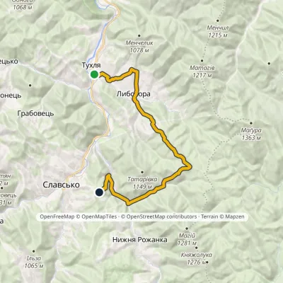 ModerateOne-dayMarkedNo. 5002 Tukhlia Slavskovia LybokhoraElevation profile542–951 m20.3 kmascent 815 m≈ 6.5 h walking
 ModerateOne-dayHrebeniv village to Skolevia Kudriavets village, Lopata villageElevation profile437–1 242 m16.9 kmascent 779 m≈ 5.5 h walking
 HardOne-dayTukhlia village to Slavskevia Mount MakivkaElevation profile521–1 090 m23.2 kmascent 1 065 m≈ 7.5 h walking
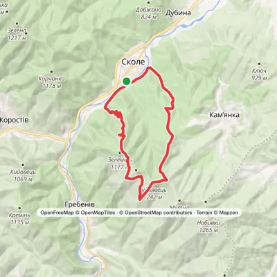 HardOne-daySkole loopvia Mount Kudriavets, Mount LopataElevation profile437–1 242 m21.2 kmascent 986 m≈ 7 h walking
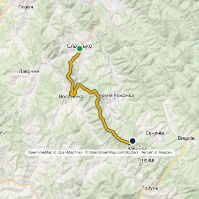 HardOne-dayMarkedNo. 5011 Slavsko «Where Three Regions Meet»Elevation profile592–1 287 m24.5 kmascent 1 326 m≈ 8.5 h walking
 HardTwo-daySlavske village to Lake Synevyrvia the Bukovets PassElevation profile587–1 306 m53.8 kmascent 1 585 m
 Hard1–2 daysSkole loopvia Mount Lopata, Mount Khom +3Elevation profile418–1 260 m31.4 kmascent 1 006 m≈ 9.5 h walking
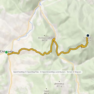 ModerateOne-dayMarkedNo. 5013 Slavsko Mount Tatarivka (Teterivka)Elevation profile587–1 149 m8.6 kmascent 775 m≈ 3.5 h walking
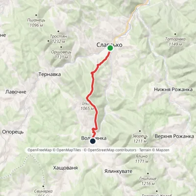 ModerateOne-dayMarkedNo. 5001 Slavske Volosianka villagevia Mount IlzaElevation profile599–1 065 m9.1 kmascent 492 m≈ 3 h walking
Peaks and meadows
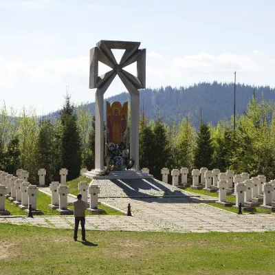 PeakMount MakivkaSlavskealtitude 958 m2 trails to the topMakivka is a mountain in the High Beskid about 8 km north of the town of Slavske in Lviv Oblast.
 PeakMount MakovytsiaTurya Pasikaaltitude 978 m · Volcanic Carpathians rangeMount Makovytsia is a gem of the western lands, with amazing landscapes, fairy-tale views, nature, air, and...
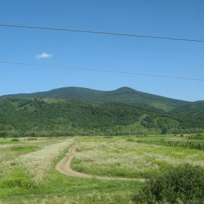 PeakMount DunavkaSyniakaltitude 1 018 m · Volcanic Carpathians rangeDunavka is the highest summit of the Syniak mountain massif, 1,018 m high.
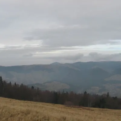 Mountain meadow1 136 mPolonyna BorsuchynaVorokhtaPolonyna Borsuchyna is located in Vorokhta, Ivano-Frankivsk region, at an altitude of 1136 meters in the Carpathians.
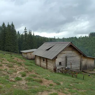 Mountain meadow1 031 mPolonyna DilKryvopilliaShepherds graze cows in the meadow. You can buy dairy products from the shepherds, as well as take part in a master...
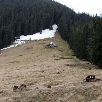 Mountain meadow1 150 mPolonyna Bukovyna (Kukul Ridge)VoronenkoPolonyna Bukovyna, often called Bukovynka, lies on the north-western section of the Kukul ridge, south of Vorokhta...
Waters and waterfalls
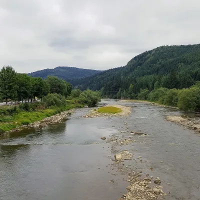 RiverOpir RiverSkoleThe Opir is a 58-km mountain river of the Skole Beskids. It rises on the eastern slope of Mount Velykyi Yavirnyk,...
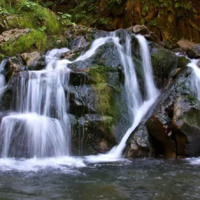 WaterfallKamianka waterfallDubyna"Kamianka Waterfall or Kamianka Waterfall is the most famous waterfall located on the mountain river of the same name...
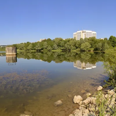 LakeTruskavets ReservoirTruskavetsTruskavets Reservoir, known locally as Lake Solonytsia, lies on the south-eastern edge of Truskavets, next to the...
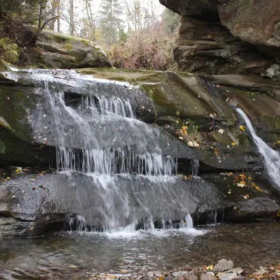 WaterfallBukovets-Bezulkivskyi Huk waterfall (Ternoshorsky)YavorivTernoshorsky Huk is a waterfall in the Ukrainian Carpathians (in the Pokutsko-Bukovyna Carpathians).
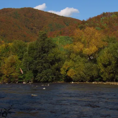 RiverUzh RiverVelykyi BereznyiAbove the Uzh near Kamianytsia stand the ruins of Nevytsky Castle, and in Uzhhorod the Masaryk Bridge offers a good...
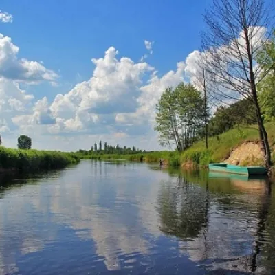 RiverTuria RiverTuri RemetyThe Turia is a small mountain river in western Zakarpattia and a right tributary of the Uzh.
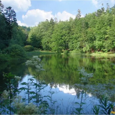 LakeMountain Polyanytske Lake (Dead Lake)BukovetsMountain Lake (another name - Dead Lake) is a picturesque mountain lake of natural origin in the Ukrainian...
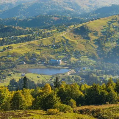 LakeLake Bukovets (Bukovetsky Pass)BukovetsThe large lake Bukivets is located on the border of Kosiv and Verkhovyna districts.
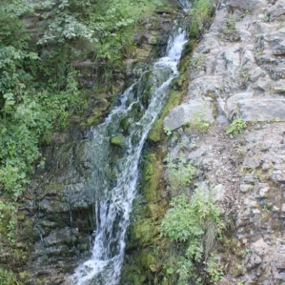 WaterfallSykavka waterfallVelykyi RozhynSykavka Waterfall is a waterfall located near the Sokilsky Rocks, also between the villages of Tyudiv and Velykyi...
Mountain ranges: Skole Beskids, Bieszczady. In other countries: 🇭🇺 Börzsöny and Cserhát, 🇸🇰 Volovec Mountains, 🇨🇿 Moravian-Silesian Beskids, 🇸🇰 Western Tatras, 🇵🇱 Żywiec Beskids, 🇭🇺 Bükk, 🇸🇰 High Tatras, 🇵🇱 Silesian Beskids, 🇷🇴 Bucegi Mountains, 🇸🇰 Little Carpathians, 🇸🇰 Low Tatras, 🇸🇰 Slovak Ore Mountains
Trails and peaks near which naturalists recorded the species (GBIF, iNaturalist), matched by altitude and habitat. Sightings are not guaranteed.
Sources
- Вікіпедія: Дрізд співочий
- Wikipedia (en): Song thrush
- iNaturalist: Turdus philomelos (спостереження в Карпатах)
GBIF · iNaturalist · Wikidata · Distribution data: GBIF.org (CC0 and CC BY records), iNaturalist; names and identifiers: Wikidata (CC0). Text: Karpaty.rocks, checked 11.11.2026.
