Fieldfare
About
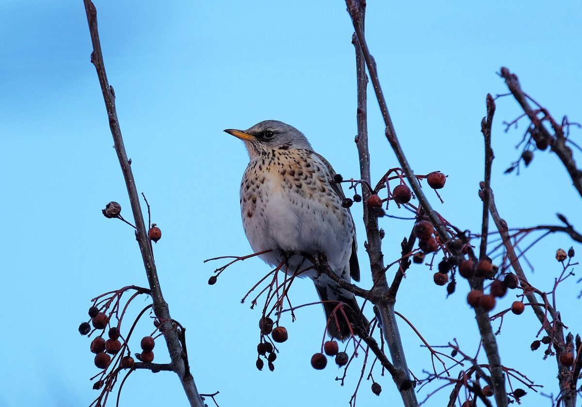
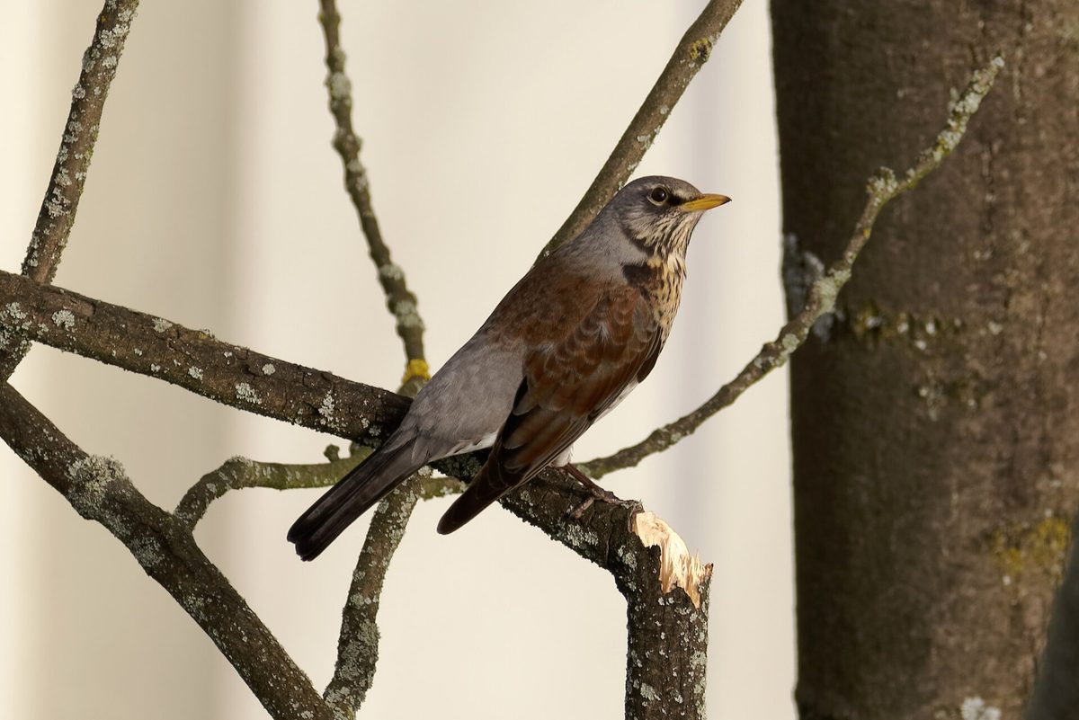
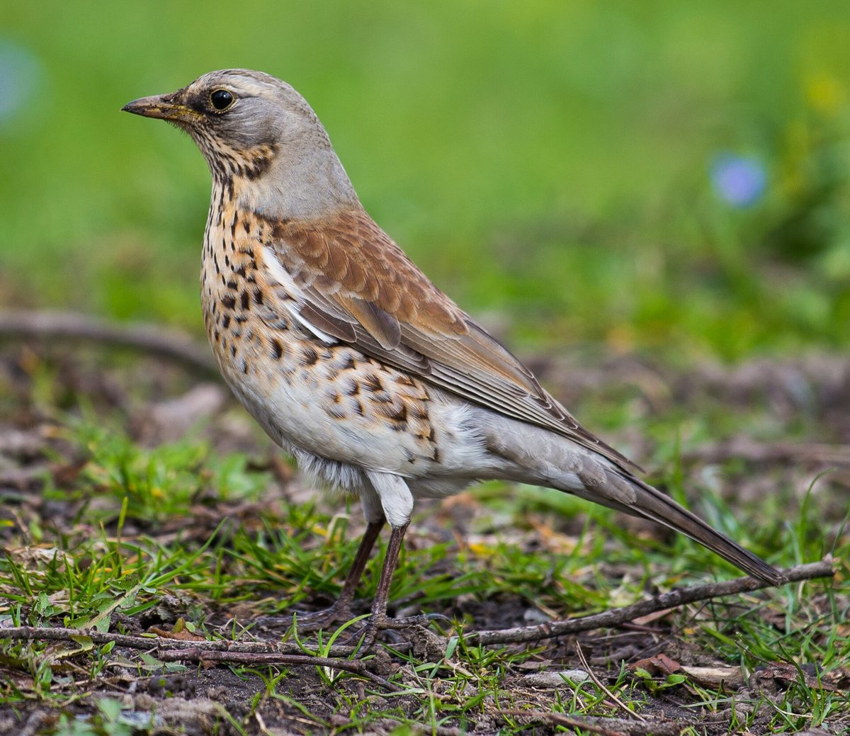
The Fieldfare is a large thrush, about 25 cm long. It is easily recognizable by its color combination: the head and nape are gray, the back is chestnut-brown, the tail is black, and the breast is ochre with dark spots. In flight, the white underwing is visible. The bird gets its name from its sharp chattering call "chak-chak-chak."
In the Carpathians, Fieldfares are found in forest edges, groves among meadows and hayfields, riverside thickets, village gardens, and parks. Unlike other thrushes, they nest in groups — several or several dozen pairs close together. The colony collectively defends the nests: the birds dive at a crow, cat, or human with cries and even "bomb" the intruder with droppings.
In spring and summer, Fieldfares gather earthworms, insects, and slugs in the meadows. In autumn, they switch to berries and fruits, primarily rowan, hawthorn, and rose hips. In years with a good rowan berry harvest, large flocks stay to winter, but when berries are scarce, they migrate south and west.
The nest is a deep cup made of grass, secured with mud, usually in the fork of a tree at a height of several meters. There is one or two clutches per season.
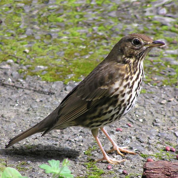
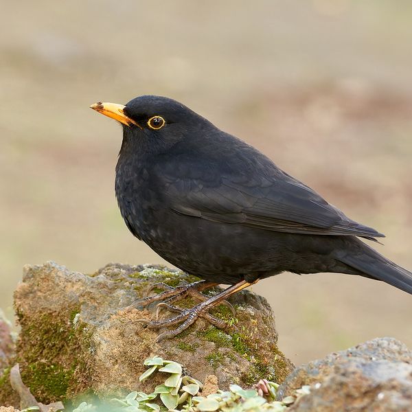
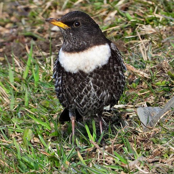
The Fieldfare differs from the Song Thrush by its larger size and gray head, and from the Black Thrush by its mottled coloration.
Where in the Carpathians

Orange — where naturalists recorded the species (GBIF, CC0/CC BY); a blank area does not mean it is absent.
- Countries
- Ukraine · Slovakia · Poland · Czechia · Romania · Hungary · Serbia · Austria · BG
- Mountain ranges
- Bieszczady, Pokuttia-Bukovina Carpathians, Gorgany. In other countries: 🇸🇰 Western Tatras, 🇸🇰 High Tatras, 🇸🇰 Low Tatras, 🇷🇴 Bucegi Mountains, 🇷🇴 Piatra Craiului, 🇵🇱 Żywiec Beskids, 🇸🇰 Greater Fatra, 🇭🇺 Börzsöny and Cserhát, 🇵🇱 Podhale and Spiš, 🇷🇴 Bihor-Vlădeasa Mountains, 🇨🇿 Moravian-Silesian Beskids
- Altitude belts
- Foothills (below 600 m) · Beech forests (600–1200 m)
When to see it
| Jan | Feb | Mar | Apr | May | Jun | Jul | Aug | Sep | Oct | Nov | Dec | |
|---|---|---|---|---|---|---|---|---|---|---|---|---|
| Sightings |
From naturalists’ observations in the Carpathians (iNaturalist, research grade): the darker the cell, the more often the species is seen that month.
Protection and rules
Not listed in the Red Book of Ukraine.
FAQ
Why is the Fieldfare called a rowan bird?
In autumn and winter, flocks of Fieldfares feed on rowan berries and can strip a tree clean in a few days.
Is the Fieldfare dangerous to humans?
No. Near the colony, the birds may scream loudly and dive at a person to drive them away from the nests — just step back.
Comments
Travellers’ experience: reports, tips, questions.
No one has written here yet. Be the first — your experience helps others.
Similar species
Where to meet it
Trails
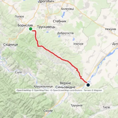 HardOne-dayMarkedNo. 506 Boryslav RozghircheElevation profile347–808 m30.2 kmascent 557 m≈ 8.5 h walking
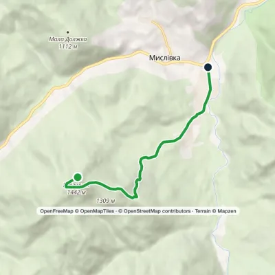 EasyOne-dayMarkedMyslivka GurgulatElevation profile656–1 442 m6.1 kmascent 7 m≈ 1.5 h walking
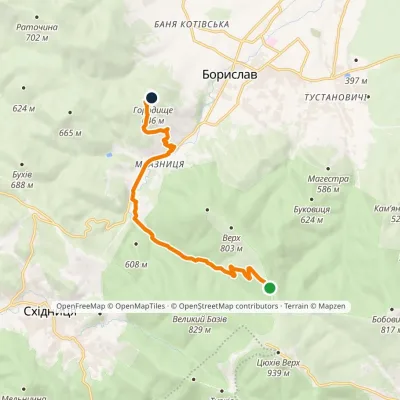 EasyOne-dayMarkedMonastery Road: Boryslav Mount Horodyshche (VeloBeskydy)Elevation profile424–776 m10.3 kmascent 217 m≈ 3 h walking
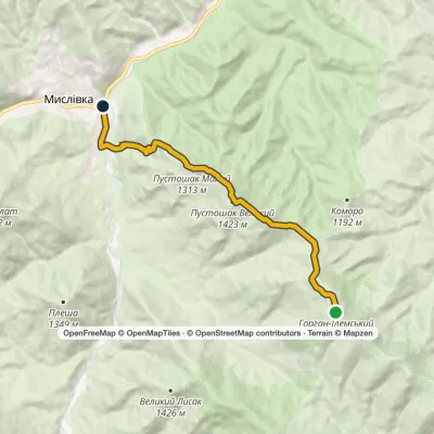 ModerateOne-dayMarkedTo Mount Horhan IlemskyiElevation profile654–1 587 m11.6 kmascent 271 m≈ 3.5 h walking
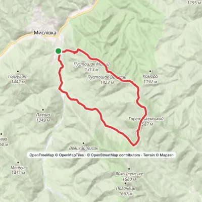 HardOne-dayMarkedMyslivka village loopvia Mount Horhan-IlemskyiElevation profile663–1 587 m24 kmascent 1 188 m≈ 8 h walking
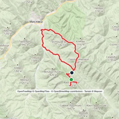 Hard1–2 daysMarkedMyslivka village loopvia Mount Yayko Ilemske, Mount Horhan IlemskyiElevation profile667–1 680 m36.3 kmascent 1 618 m≈ 12 h walking
 HardOne-dayMarkedMyslivka Solotvynkavia Yayko PerehinskeElevation profile654–1 680 m22.3 kmascent 1 268 m≈ 7.5 h walking
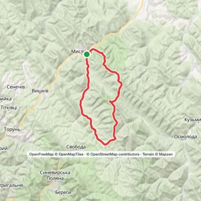 HardTwo-dayMyslivka village loopvia Mount Yayko-Ilemske, Mount Horhan-IlemskyiElevation profile646–1 667 m47.2 kmascent 1 977 m
 Hard1–2 daysMarkedMyslivka village to Osmoloda villagevia Mount Velykyi Pustushak, Nimetska polonyna +1Elevation profile654–1 587 m35 kmascent 1 359 m≈ 11 h walking
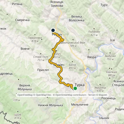 ModerateOne-dayMarkedNo. 5001-1 Turka Rozluchvia source of the DniesterElevation profile539–907 m19 kmascent 568 m≈ 5.5 h walking
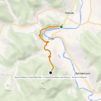 EasyOne-dayMarkedNo. 5015 In the Footsteps of Prince Lev: Tershiv village Spas RockElevation profile369–536 m4.6 kmascent 274 m≈ 1.5 h walking
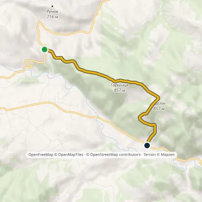 EasyOne-dayMarkedRunok Pass Kosmach villagevia Dovbush Rock, Mount Harshytsia +1Elevation profile560–864 m4.5 kmascent 217 m≈ 1.5 h walking
Peaks and meadows
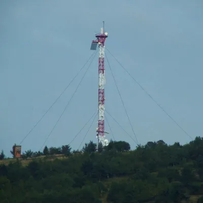 PeakMount Horodyshche (Boryslav)Boryslavaltitude 646 mHorodyshche (646 m; other sources give 641.8 m) is a hill in the Upper Dniester Beskids and the highest point of the...
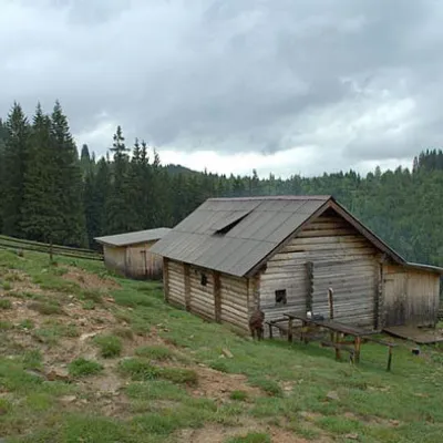 Mountain meadow1 031 mPolonyna DilKryvopilliaShepherds graze cows in the meadow. You can buy dairy products from the shepherds, as well as take part in a master...
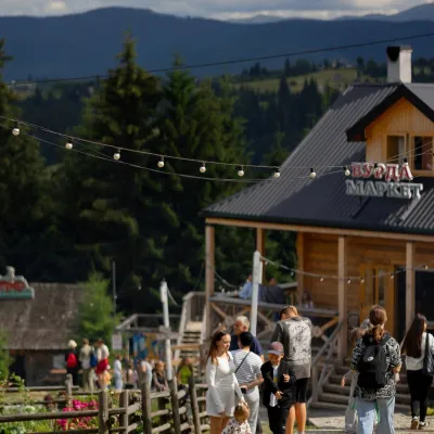 Mountain meadow940 mPolonyna Pertsi Ethno Park, YablunytsiaYablunytsiaPolonyna Pertsi (“Pepper Meadow”) is an ethno park of Hutsul traditions in Yablunytsia, close to the Yablunytsia Pass.
Waters and waterfalls
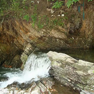 WaterfallBoryslav waterfallBoryslavThe Young Boryslav Waterfall is a small waterfall (falling height is about two meters).
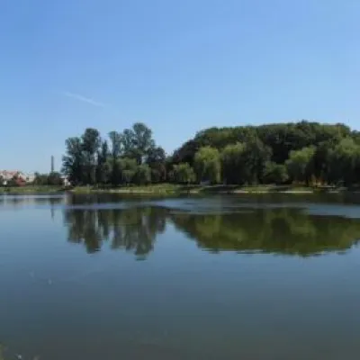 LakeCity lake in KolomyiaKolomyiaAfter touring the city, it's a good idea to relax and unwind by the water.
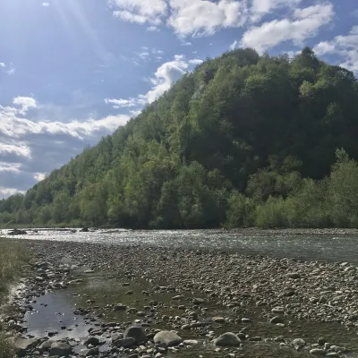 RiverBystrytsia Nadvirnianska RiverNadvirnaThe Bystrytsia Nadvirnianska rises on the northern slope of Mount Chorna Kleva in the Gorgany, at about 1,280 m.
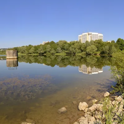 LakeTruskavets ReservoirTruskavetsTruskavets Reservoir, known locally as Lake Solonytsia, lies on the south-eastern edge of Truskavets, next to the...
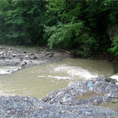 RiverVyzhenka RiverVyzhenkaTheriver Vyzhenka is located in the village of the same name in the Chernivtsi region.
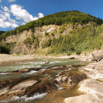 RiverCheremosh RiverVyzhnytsiaThe Cheremosh is born near Usteriky, where the Chornyi Cheremosh and the Bilyi Cheremosh meet.
Mountain ranges: Bieszczady, Pokuttia-Bukovina Carpathians, Gorgany. In other countries: 🇸🇰 Western Tatras, 🇸🇰 High Tatras, 🇸🇰 Low Tatras, 🇷🇴 Bucegi Mountains, 🇷🇴 Piatra Craiului, 🇵🇱 Żywiec Beskids, 🇸🇰 Greater Fatra, 🇭🇺 Börzsöny and Cserhát, 🇵🇱 Podhale and Spiš, 🇷🇴 Bihor-Vlădeasa Mountains, 🇨🇿 Moravian-Silesian Beskids
Trails and peaks near which naturalists recorded the species (GBIF, iNaturalist), matched by altitude and habitat. Sightings are not guaranteed.
Sources
GBIF · iNaturalist · Wikidata · Distribution data: GBIF.org (CC0 and CC BY records), iNaturalist; names and identifiers: Wikidata (CC0). Text: Karpaty.rocks, checked 11.11.2026.
