European edible dormouse
About
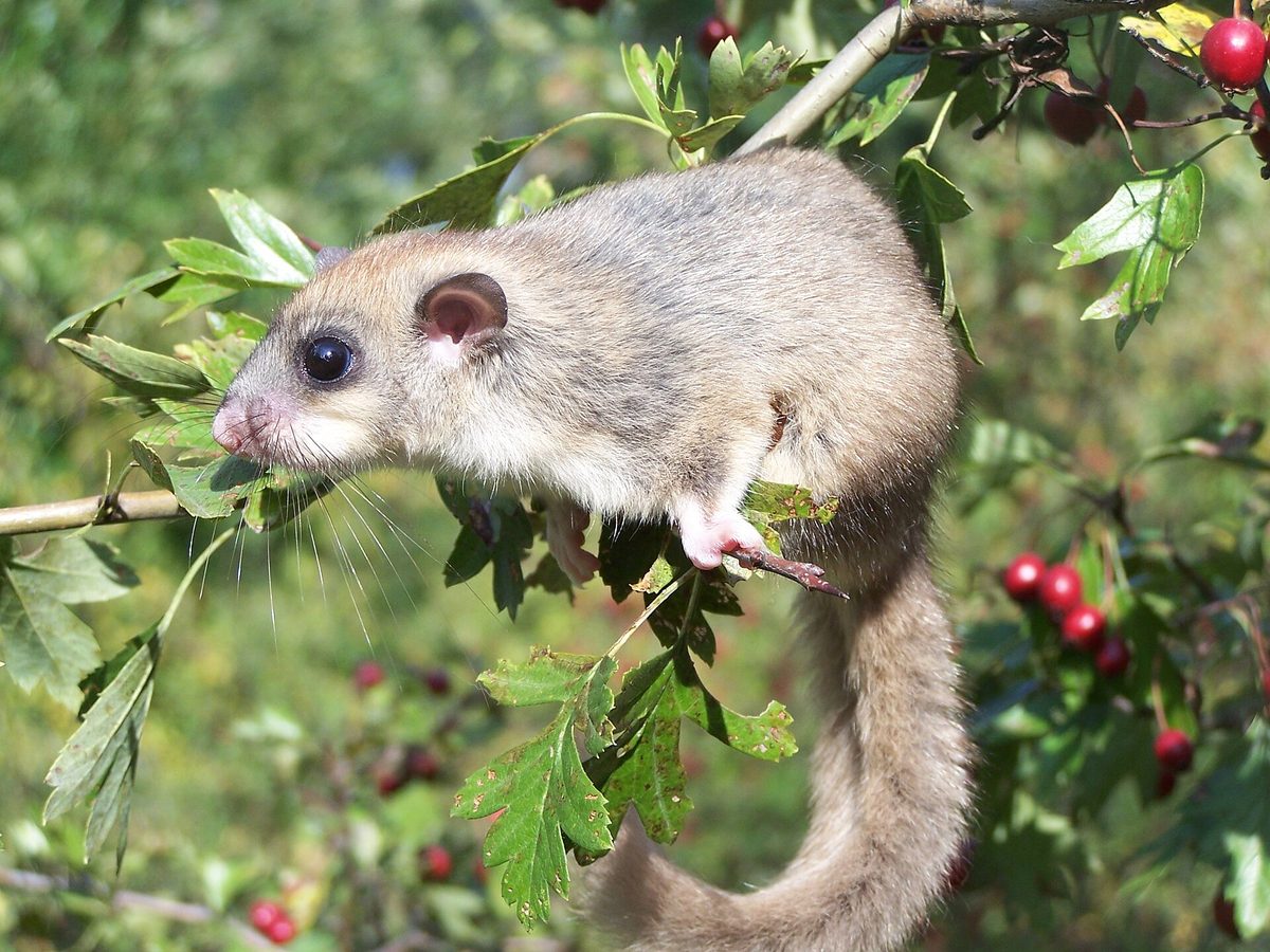
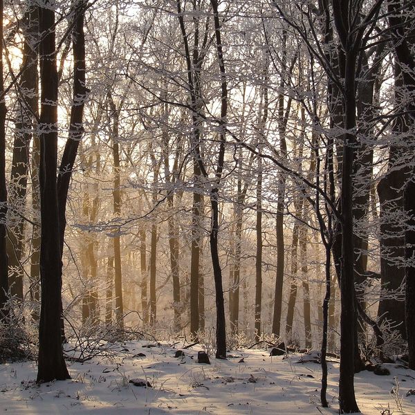
The European edible dormouse, or Glis glis, is a typical inhabitant of deciduous and mixed forests, primarily beech and oak. It occurs from lowland forests to the upper limit of such forests at altitudes of 1500–2000 m and avoids open areas. In neighboring Poland, the dormouse is quite common in the mountains and foothills, but rare in the lowlands. It can also live near humans, but only near the forest.
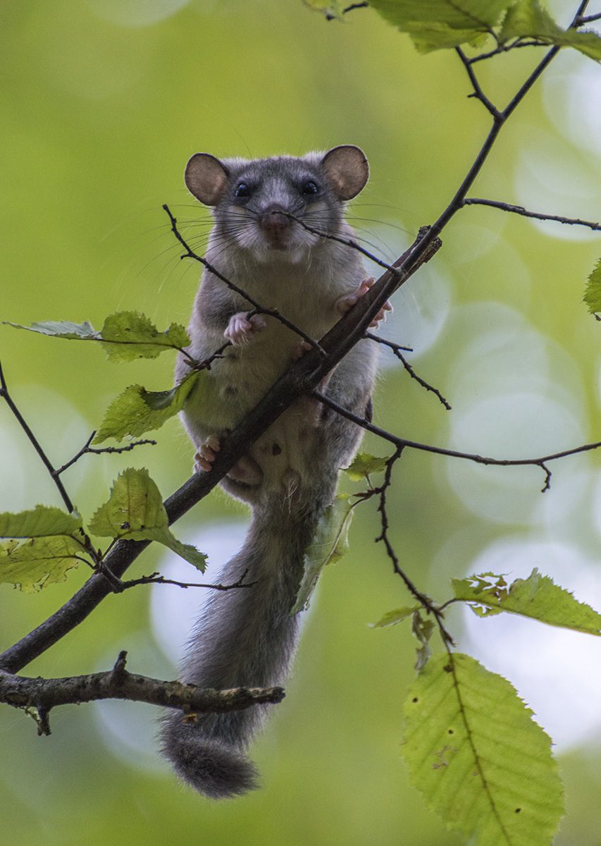
The animal resembles a small gray squirrel: body 13–18 cm, fluffy tail 11–15 cm, weight 70–230 g. The fur is silvery-gray, the belly is light, and around its large dark eyes are barely noticeable dark rings. The dormouse is active at night and climbs trees excellently.
In autumn, dormice fatten up by eating beech nuts, acorns, fruits, and berries, and before hibernation, they can nearly double their weight. Hibernation usually lasts from the end of September to the beginning of May, and in poor years, it can last over 11 months. One large tree, richly covered with fruits, can provide enough energy for the animal to raise its young.
Tourists most often encounter the dormouse in mountain huts and Sadybas near the forest. The animals have adapted well to humans and often hibernate in insulated attics and even on dark shelves in wardrobes, especially if there are soft items for nesting. Do not leave food open, but do not harm the dormouse — they are safe for humans. The name 'edible' in other languages comes from the ancient Romans, who considered dormice a delicacy. The European edible dormouse is not listed in the Red Book of Ukraine.
Where in the Carpathians

The map shows where naturalists recorded the species (GBIF, CC0 and CC BY records), not every place it lives. The Ukrainian Carpathians are less studied, so a blank area does not mean the species is absent.
- Countries
- Ukraine · Romania · Slovakia · Poland · Hungary
- Mountain ranges
- Pădurea Craiului, Maramureș Mountains, Pokuttia-Bukovina Carpathians, Skole Beskids, Little Carpathians, Chornohora
- Altitude belts
- Foothills (below 600 m) · Beech forests (600–1200 m)
When to see it
| Jan | Feb | Mar | Apr | May | Jun | Jul | Aug | Sep | Oct | Nov | Dec | |
|---|---|---|---|---|---|---|---|---|---|---|---|---|
| Sightings |
From naturalists’ observations in the Carpathians (iNaturalist, research grade): the darker the cell, the more often the species is seen that month.
Protection and rules
Not listed in the Red Book of Ukraine.
FAQ
Who is making noise at night in the attic of the hut?
Often it is the European edible dormouse, or Glis glis: a nocturnal rodent that often settles in the attics of houses near the forest. It is safe for people.
When do dormice fall asleep for the winter?
Usually from the end of September to the beginning of May; before hibernation, they can nearly double their weight.
Similar species
Where to meet it
Trails
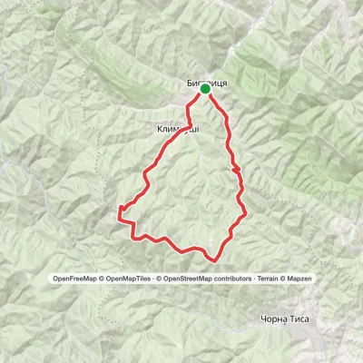 HardMulti-dayBystrytsia village loopvia Klympushi village, Mount Hropa +3Elevation profile736–1 788 m38.1 kmascent 1 798 m≈ 13 h walking
 HardMulti-dayBystrytsia village to Polianytsia villagevia Mount Hropa, Mount Bratkivska +1Elevation profile737–1 788 m42 kmascent 1 974 m
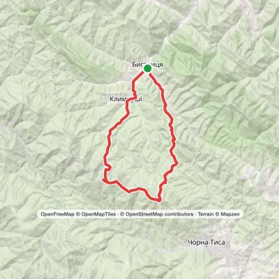 HardMulti-dayBystrytsia village loopvia Klympushi village, Mount Ruska +1Elevation profile737–1 719 m42.5 kmascent 1 786 m
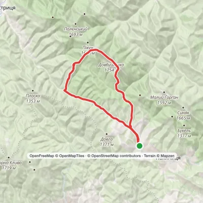 HardMulti-dayPolianytsia village loopvia Mount Dovbushanka, Mount VedmezhykElevation profile891–1 754 m24.3 kmascent 1 289 m≈ 8.5 h walking
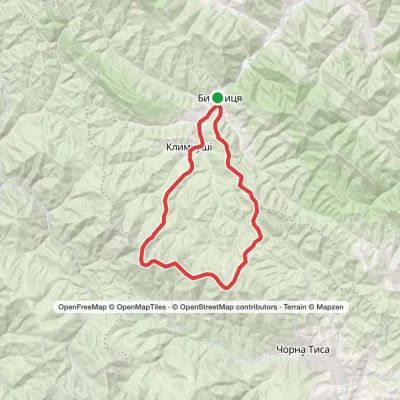 HardMulti-dayBystrytsia village loopvia Mount Chorna Kleva, Mount Ruska +1Elevation profile734–1 788 m36.8 kmascent 1 971 m≈ 13 h walking
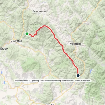 HardMulti-dayVovchyi village to Nyzhnii Bystryi villagevia Mount Stiy, Mount Zhyd-Mahura +4Elevation profile285–1 681 m60.7 kmascent 2 763 m
 HardTwo-dayMarkedBystrytsia village Mount Malyi HorhanElevation profile743–1 450 m22.1 kmascent 1 130 m≈ 8 h walking
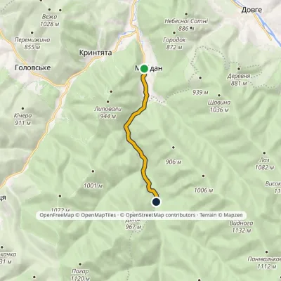 EasyOne-dayMarkedNo. 5003 Maidan village MalmanstalElevation profile531–616 m5.7 kmascent 88 m≈ 1.5 h walking
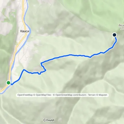 EasyOne-dayMarkedSitnyi Menchul (Kvasy village)Elevation profile509–1 216 m4.8 kmascent 707 m≈ 2.5 h walking
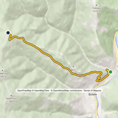 ModerateOne-dayMarkedBilyn village Perelisok shelterElevation profile509–1 279 m6.5 kmascent 770 m≈ 3 h walking
 HardMulti-dayStara Huta village to Polianytsia villagevia Mount Syvulia, Legioniv Pass +4Elevation profile706–1 836 m67.5 kmascent 3 807 m
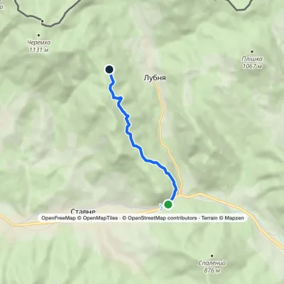 EasyOne-dayMarkedLubnia StavneElevation profile404–851 m5.1 kmascent 448 m≈ 2 h walking
Peaks and meadows
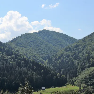 PeakMount of the Heroes of the Heavenly HundredRybnykaltitude 886 m · Skole Beskids rangeThe Mount of the Heroes of the Heavenly Hundred (locally Konova or Horb) is an 886 m summit (890 m according to other...
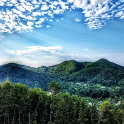 PeakMount Sopka (Stizhky, Zinyakov top).Kosivaltitude 620 m2 trails to the topStizhki (620 meters) offers a panoramic view of the city of Kosiv. The mountain is covered with forests - beech,...
 Mountain meadow674 mPolonyna Rosokhata (Sheshory)SheshoryWhy is the meadow called "Rosokhata"? The two parts of the field that form the branches look like dewdrops.
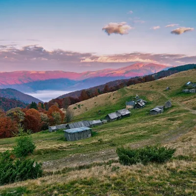 Mountain meadow1 240 mPolonyna Menchul (Kvasy)KvasyMenchul Polonyna above the village of Kvasy is a broad open shoulder on the south-western spur of the Chornohora...
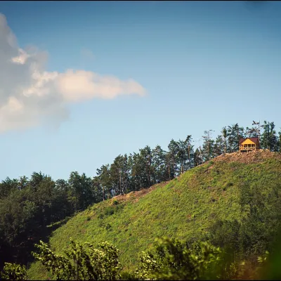 PeakMount Ostry (Ostra)Kosivaltitude 584 m2 trails to the topThe mountain offers wonderful views of the entire Kosiv. The descent is steep, and autumn is magical here.
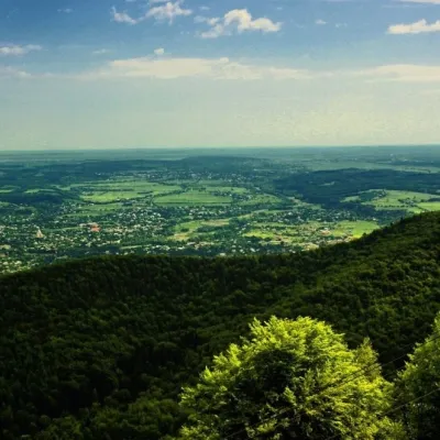 PeakMount Mykhalkova (Kosiv)Kosivaltitude 812 m2 trails to the topMount Mykhalkova (Mykhalkiv), with a height of 812 meters, is part of the Pokuttya Carpathians.
Mountain ranges: Maramureș Mountains, Pokuttia-Bukovina Carpathians, Skole Beskids, Chornohora. In other countries: 🇷🇴 Pădurea Craiului, 🇸🇰 Little Carpathians
Trails and peaks near which naturalists recorded the species (GBIF, iNaturalist), matched by altitude and habitat. Sightings are not guaranteed.
Sources
- Вікіпедія: Вовчок сірий
- Wikipedia (en): European edible dormouse
- Wikipedia (pl): Popielica szara
- Перелік видів тварин, що заносяться до Червоної книги України (наказ Міндовкілля від 19.01.2021 № 29, зареєстровано в Мін'юсті 01.03.2021 за № 260/35882)
- Міндовкілля: текст переліку видів тварин Червоної книги України (PDF)
- GBIF: таксон і категорія МСОП
GBIF · iNaturalist · Wikidata · Distribution data: GBIF.org (CC0 and CC BY records), iNaturalist; names and identifiers: Wikidata (CC0). Text: Karpaty.rocks, checked 09.11.2026.
