D.A.T hill


What to see nearby
The best within 10 km, as the crow flies
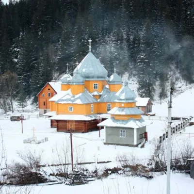 Church of St. Basil the GreatChurch · 2.0 km
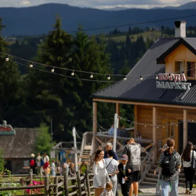 Polonyna Pertsi Ethno ParkMountain meadow · 3.4 km
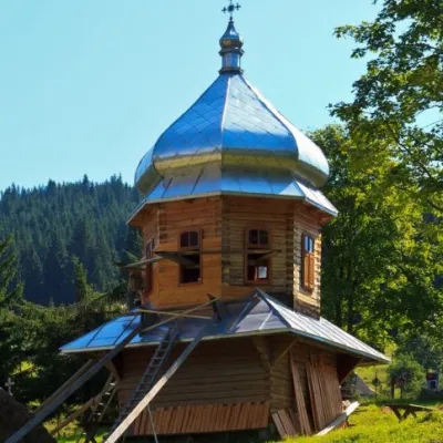 Church of the Dormition of the Mother of GodChurch · 3.4 km
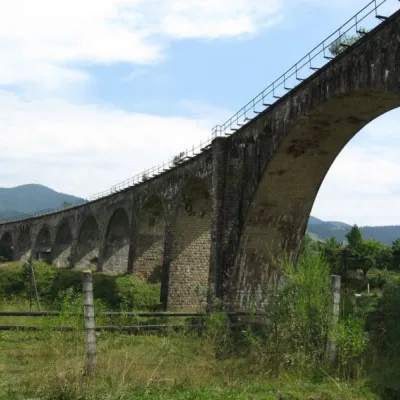 Austrian viaduct bridgeArchitecture · 4.5 km
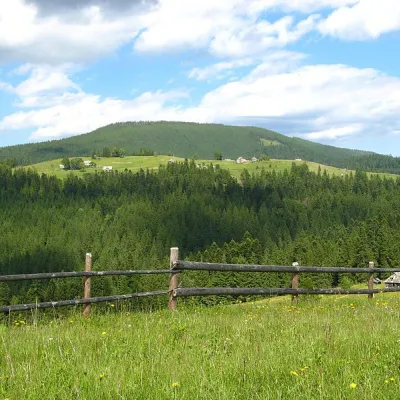 Mount MaguraPeak · 4.8 km
 Museum of History and Local LoreMuseum · 5.1 km
Trails starting within 5 km: 10
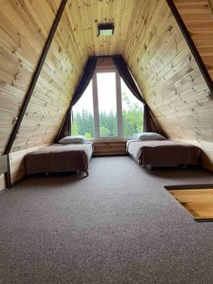
Cottage "D.A.T hill" is located in the village of Yablunytsia. It offers guests a two-storey cottage for accommodation of 6 persons. On the first floor, there is a living room with a fireplace, a sofa bed, and a bathroom (toilet and shower). On the second floor, there is a double bed and 2 single beds, a dresser, and a kitchen with a refrigerator, stove, electric kettle, microwave, and kitchenware. The territory includes a barbecue and a tub.
The distance from the cottage "D.A.T hill" to the railway station "Voronenko" is 2.8 km, to the lift "Koza" is 6.9 km, and to the Bukovel ski resort is 18.6 km.
There is a possibility of additional places, please confirm when booking.
The cottage can be reached by an all-wheel-drive SUV (the owners do not recommend arriving by personal car), or you can order a transfer from the railway station.
The cottage has a kitchen for self-catering, equipped with all necessary appliances.
Location on the map
Reviews
Nearby attractions
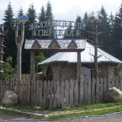 SightYablunytskyi pass, YablunytsiaYablunytsia2.3 km from D.A.T hillYablunytskyi Pass is a transportation artery that connects Ivano-Frankivsk and Zakarpattia regions. There are observation decks on the pass that offer a beautiful and...
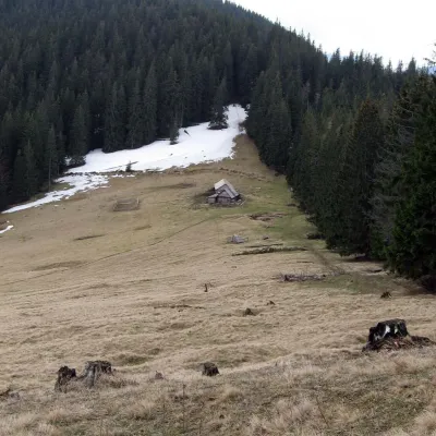 Mountain meadowPolonyna Bukovyna (Kukul Ridge)Voronenkoaltitude 1 150 m5.2 km from D.A.T hillPolonyna Bukovyna, often called Bukovynka, lies on the north-western section of the Kukul ridge, south of Vorokhta and close to the village of Voronenko in Nadvirna...
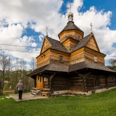 ChurchChurch of the Nativity of the Virgin Mary XVII-XVIII, VorokhtaVorokhta5.9 km from D.A.T hillThe Church of the Nativity of the Virgin Mary in Vorokhta of the seventeenth and eighteenth centuries is a traditional Hutsul church built without a single nail.
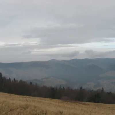 Mountain meadowPolonyna BorsuchynaVorokhtaaltitude 1 136 m8.4 km from D.A.T hillPolonyna Borsuchyna is located in Vorokhta, Ivano-Frankivsk region, at an altitude of 1136 meters in the Carpathians.
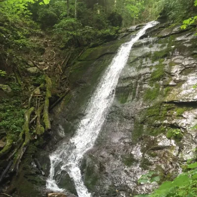 WaterfallNarinetskyi waterfall, MykulychynMykulychyn9.9 km from D.A.T hillNarinetskyi Waterfall is a waterfall in the Ukrainian Carpathians, on the Noretskyi Stream (a left tributary of the Zhenets River).
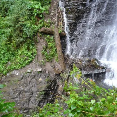 WaterfallZhenetsky Hook waterfallMykulychyn10 km from D.A.T hillZhenetskyi Huk is one of the most convenient Carpathian waterfalls for tourists, as it is accessible by a direct, asphalt road.
Craft nearby
All craft places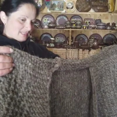 Markets & fairsSouvenir Market on the Yablunytsia Pass, YablunytsiaYablunytsia3.6 km from D.A.T hillThe souvenir market on the Yablunytsia Pass is one of the best-known roadside bazaars in the Carpathians.
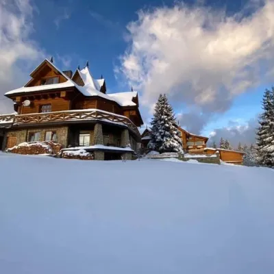 Koliby & Hutsul cuisineVysokyi Pereval Koliba, YablunytsiaYablunytsia4 km from D.A.T hillVysokyi Pereval Koliba ("High Pass") stands in Yablunytsia, on the new road to Bukovel, in the Horishkiv area.
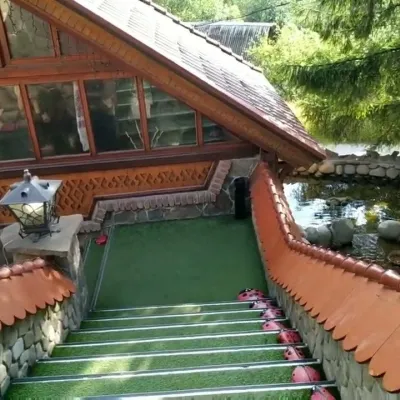 Koliby & Hutsul cuisineStara Vorokhta Restaurant, VorokhtaVorokhta5.1 km from D.A.T hillStara Vorokhta restaurant ("Old Vorokhta") is one of the best-known places for Hutsul food in Vorokhta: on Google Maps it is rated 4.6 from more than 6,300 reviews, a...
 Theme parksDinoPark, Polianytsia (Bukovel)Yablunytsia5.7 km from D.A.T hillDinoPark in Polianytsia is an open-air dinosaur theme park at the entrance to Bukovel resort. It is easy to spot from the road: a huge dinosaur figure stands right by...
 Markets & fairsSouvenir Bazaar by the Ski Jumps, VorokhtaVorokhta5.9 km from D.A.T hillThe souvenir bazaar in Vorokhta is one of the busiest little trading spots in the mountain Hutsul region.
 Craft beer & breweriesBartik Brewpub, PolianytsiaPolianytsia (Bukovel)8.5 km from D.A.T hillBartik Brewpub (“Bartik at Bukovel”) is a restaurant-brewery in Polianytsia, within Ukraine’s largest ski resort.
Peaks nearby
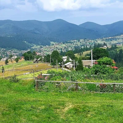 PeakMount OseredokVorokhtaaltitude 915 m · Chornohora range4.7 km from D.A.T hill1 trail to the topOseredok is a modest 915 m summit right above Vorokhta (about 2 km), north of the Chornohora range, in Ivano-Frankivsk Oblast.
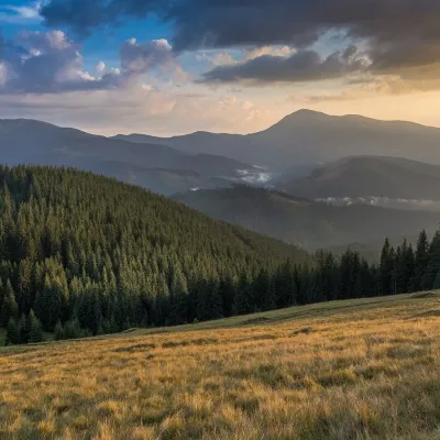 PeakMount Pid-BerdyVoronenkoaltitude 1 388 m · Kukul range6.7 km from D.A.T hillPid-Berdy (1388 m) is a summit on the Kukul ridge, a northern spur of Chornohora in the Ukrainian Carpathians.
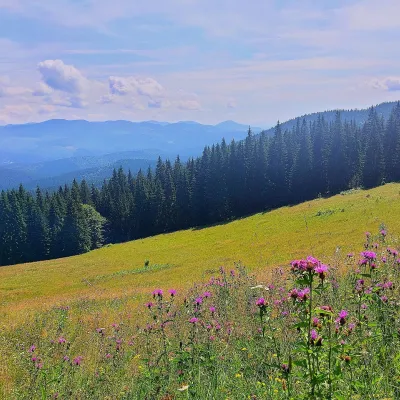 PeakMount Kychera (Vorokhta)Vorokhtaaltitude 1 225 m · Chornohora range7.1 km from D.A.T hillKychera is a 1,225 m summit north of the Chornohora range, in Ivano-Frankivsk Oblast. It lies between Vorokhta (about 4.5 km) and Mount Kukul (1,539 m), about 3.2 km...
Trails nearby
All trails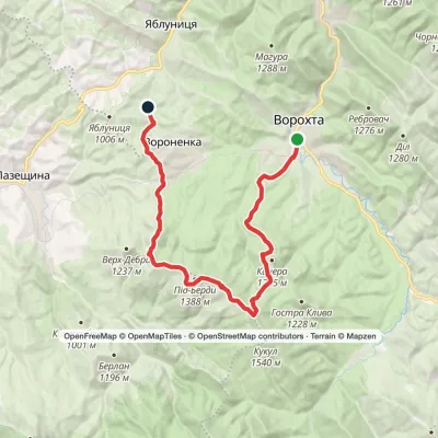 HardMulti-dayMarkedVorokhta to Yablunytsia villagevia Mount KukulElevation profile740–1 455 m24.6 kmascent 876 m≈ 8 h walkingunder 1 km from D.A.T hill
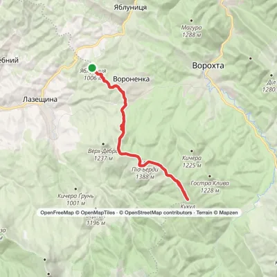 HardMulti-dayVoronenko village loopvia Mount KukulElevation profile880–1 539 m29.5 kmascent 959 m≈ 9.5 h walking1.7 km from D.A.T hill
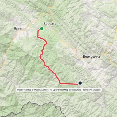 HardMulti-dayVoronenko village to Zelene villagevia Mount Kukul, Mount Hoverla +1Elevation profile773–2 061 m46.9 kmascent 3 523 m2.3 km from D.A.T hill
