Zuberec – Horáreň pod Bielou skalou
Trail map
Route, springs and shelters: © OpenStreetMap contributors (ODbL) · elevation: Copernicus DEM © DLR e.V., © Airbus DS · Data & licences
About the trail
Route Zuberec – Horáreň pod Bielou skalou. Has green marking (regional route №5566, KST). Waymarking data: OpenStreetMap (© OpenStreetMap contributors, ODbL).
Officially marked regional tourist route No. 5566. The marking is green, the sign is a horizontal stripe on a white background. Marked and maintained by: KST. Length of the route — 4.8 km. Location: mountain range — Western Tatras, Slovakia. The route in the Tatra National Park (TANAP): high-altitude sections are closed from November 1 to June 15 — check the current dates on tanap.sk before heading out.
At a glance
A short route of 4.8 km with 4 m of ascent from Zuberec to Horáreň pod Bielou skalou. Estimated walking time: about 1 h, not counting stops. Difficulty: easy. Waymarking: green.
Route stages
- 0–2 kmDescent of 130 m (down to 808 m)
- 2–5 kmGentle ups and downs at 760–810 m
Steepest kilometre: km 0.5–1.5, a descent of 90 m (≈9%).
Water and overnight stays
Our map shows no springs near the trail — bring your own water (at least 1 l).
When to go
The route can be walked most of the year; it is most comfortable from April to October.
Getting there
Start: Zuberec. This is a one-way route: the finish is 4 km from the start in a straight line, so plan your way back in advance.
FAQ
- How long does the route take?
- Estimated walking time: about 1 h, not counting stops.
- Is there water on the route?
- Our map shows no springs near the trail — bring your own water (at least 1 l).
Comments
Trails nearby
All trails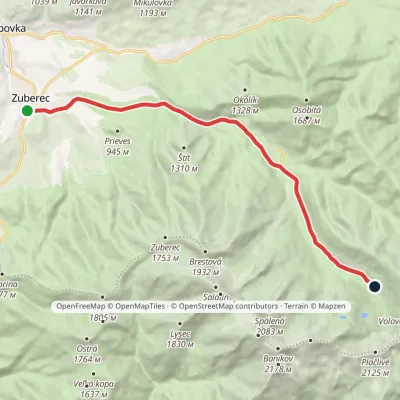 ModerateOne-dayMarkedZuberec Tatliakove plieskoElevation profile760–1 377 m12.8 kmascent 612 m≈ 4.5 h walking
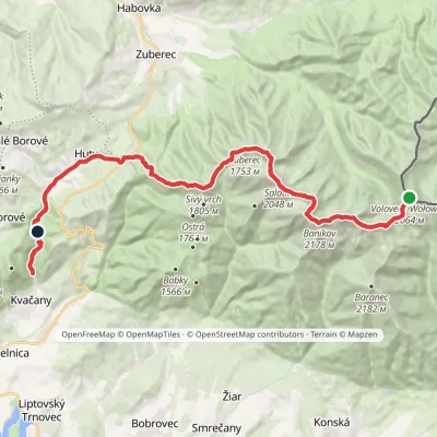 HardMulti-dayMarkedÚstie Kvačianskej doliny Pyšné sedlovia VolovecElevation profile644–2 169 m27.6 kmascent 1 322 m≈ 9.5 h walking
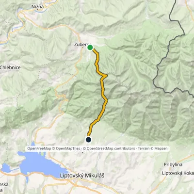 ModerateTwo-dayMarkedJalovec ZuberecElevation profile683–1 579 m17.6 kmascent 772 m≈ 6 h walking
Craft nearby
All craft places Water parks & thermal poolsAquapark Tatralandia13 km from the trailAquapark Tatralandia is a large year-round water leisure complex near Liptovský Mikuláš, on the northern shore of the Liptovská Mara reservoir.
 Water parks & thermal poolsOravice thermal pools14 km from the trailThe Oravice thermal pools (Termálne kúpalisko Oravice) are the municipal thermal baths in the mountain settlement of Oravice at the foot of the Western Tatras.
 Water parks & thermal poolsMeander Thermal Resort, Oravice14 km from the trailMeander Thermal & Ski Resort (formerly Meander Park) is a thermal water park and ski centre in the mountain settlement of Oravice in northern Slovakia, at the foot of...
 Cheese dairies & pasturesShepherds' Huts on Polana Chochołowska14 km from the trailPolana Chochołowska is the largest glade in the Polish Tatras and one of the largest in the whole range.
 Koliby & Hutsul cuisineSalaš Dechtáre above Liptovská Mara16 km from the trailSalaš Dechtáre is a wooden koliba above the Liptovská Mara reservoir that is described as one of Slovakia’s first commercial salaš restaurants.
 Water parks & thermal poolsBešeňová Water Park17 km from the trailBešeňová — the "thermal heart of Liptov" Bešeňová Water Park (Vodný park Bešeňová) lies on the edge of the village of the same name in the western part of the Liptov...
