Yarok
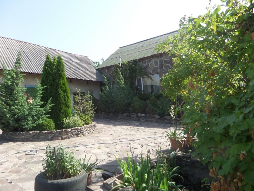
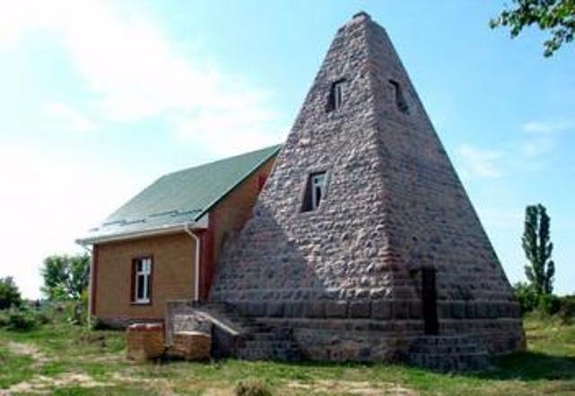
In written sources, the village is known as Aahok, which is a corruption of the Slavic word for ravine. The name of the village, located on a hill, can be associated with the area that the ancient Slavs chose to worship the sun god (spring equinox), Yaril (the original Yar), who symbolized youth and courage. Thus, the first settlements began to appear around the holy place, forming the present-day village of Yarok. The first written mention of the village, however, is known only from 1499, when it belonged to the Druget family.
The present-day village of Yarok was founded on the basis of the Wallachian law in the early XV century. In the XV-XVII centuries the village belonged to the Nevytsky domain of the Drugetts. Around 1585, the villagers embraced the Reformation and belonged to the Uzhhorod plebiscite. In the last quarter of the sixteenth century, 20 new families of settlers arrived in the village. In 1599, Z0 families and the family of Sholtays were farming in the village. At the beginning of the XVIII century only 9 peasant families lived in Yarko.
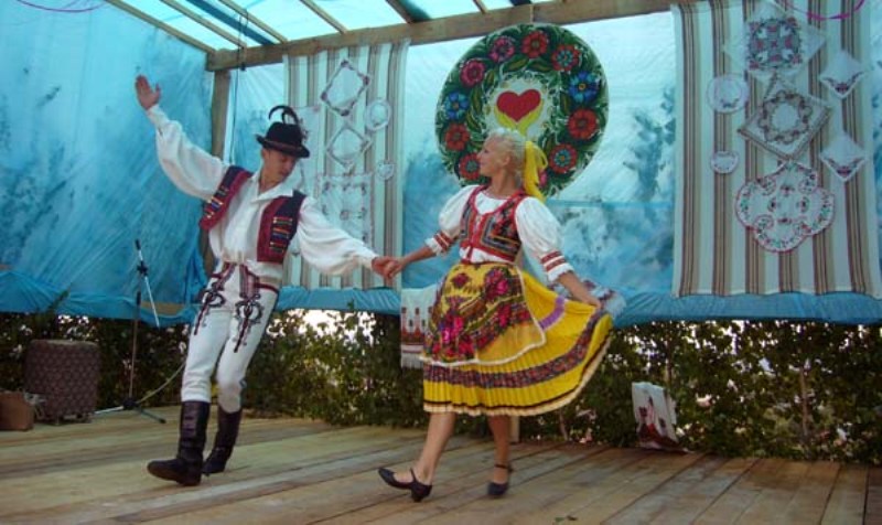
Today the village population is 724 people. Today, the village of Yarok is known for the regional ethnofestival "Yarotski Yarilky", which is held annually on the lawn overlooking Mukachevo, Berehove, Chop, Uzhhorod, and Velyky Kapushany (Slovakia). Every third Sunday of July, the village hosts folk festivities: games, figli, fun, and various tastings. There is a fair on the territory where winemakers, honey makers, and craftsmen present their creations. Various master classes are held. Folk-rock bands and amateur performances take place on the stage.
What to visit
Landmarks, museums and places of interest near Yarok.
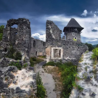 CastleNevytsky Castle4.8 km from the centreNevytsky Castle begins its history in the 12th century, and historical facts indicate that Nevytsky Castle had royal status in 1274.
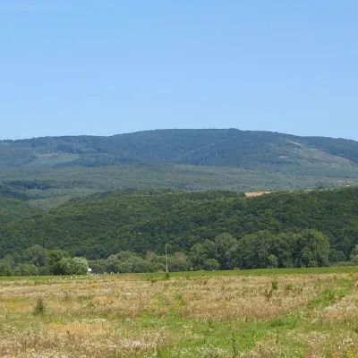 PeakMount Antalovetska Polyanaaltitude 968 m5.6 km from the centre8 trails to the topMount Antalovetska Polyana is a 968-meter high peak of the Ukrainian Carpathians, located in the western part of the Makovets mountain range on the border of two...
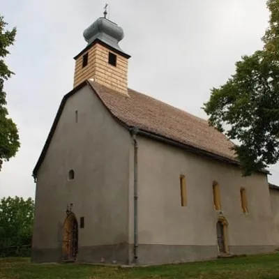 ChurchHoryany Rotunda (St. Anne's Church), Uzhhorod8.3 km from the centreThe Horyany Rotunda is the oldest monument in Uzhhorod. It is located on one of the hills of the Horyany neighborhood.
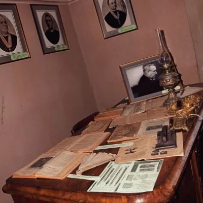 CastleUzhhorod Castle, Uzhhorod9.8 km from the centreUzhhorod Castle has a thousand-year history. It is the main tourist attraction in Uzhhorod.
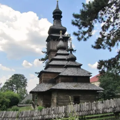 ChurchShelest St. Michael's Church, Uzhhorod9.8 km from the centreMichael's Church is an architectural monument of national importance. It is located in Uzhhorod, 33-a Kapitulna Street.
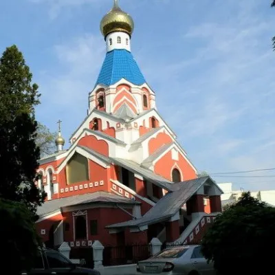 ChurchIntercession Orthodox Church, Uzhhorod10 km from the centreThe Church of the Intercession is an Orthodox church-monument in Uzhhorod (Pravoslavna embankment, 23)built in honor of Russian soldiers who died in World War I.
Where to stay
Hotels, guesthouses and cottages in and around Yarok.
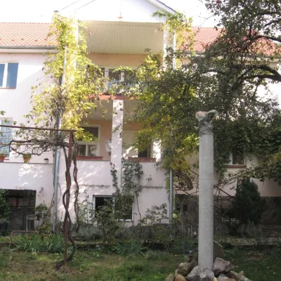 HotelMini-Hotel "Vilni Kimnaty" Mukachevo30 km from the centreFireplaceKitchenWi‑FiNearby: Palanok Castle Mukachevo 2.5 kmAssumption Cathedral 700 m
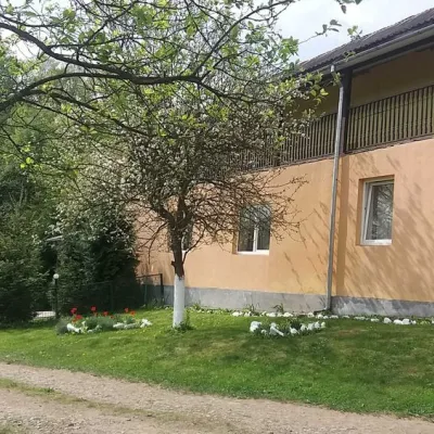 HomesteadHomestead "Ulich"32 km from the centrePoolSaunaNearby: Mt Judah Top 6.6 kmMt Yavirnyk 8.1 km4 trails
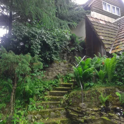 HomesteadHomestead "U Dyadi Vani" Vyshka39 km from the centrePoolSaunaBBQ
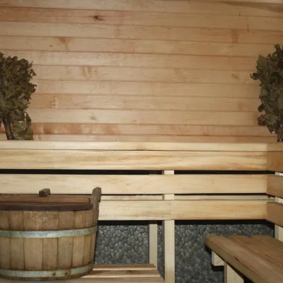 CottageHomestead "Lukacha" Zhdeniyevo42 km from the centreSaunaFireplaceKitchenNearby: Ostra Gora 5.6 kmVojvodyn waterfall 7.9 km7 trails
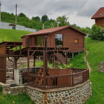 HomesteadEco-house Berdo Svaliava42 km from the centreWe invite you to relax in our eco-house. Our principle is - we are either the best or we don't exist!Nearby: St. Michael's Church 600 mPalace of Counts Schönborn 8.2 km
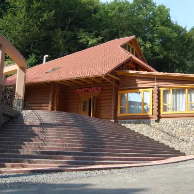 HotelHotel "Zatyshok" Nelypino43 km from the centreSaunaParkingWi‑FiNearby: St. Michael's Church 3.7 km2 trails
Trails nearby
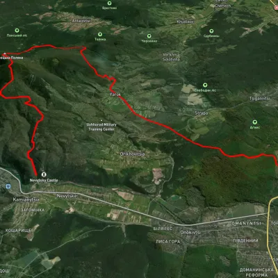 HardMulti-dayUnmarkedKamianytsia village to Uzhhorodvia Antalovetska Poliana, Yarok villageElevation profile118–967 m28.9 kmascent 923 m≈ 9 h walkingunder 1 km from the centre
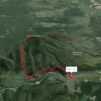 HardTwo-dayUnmarkedYarok village to Nevytske villagevia Antalovetska PolianaElevation profile145–960 m19.9 kmascent 1 081 m≈ 7 h walkingunder 1 km from the centre
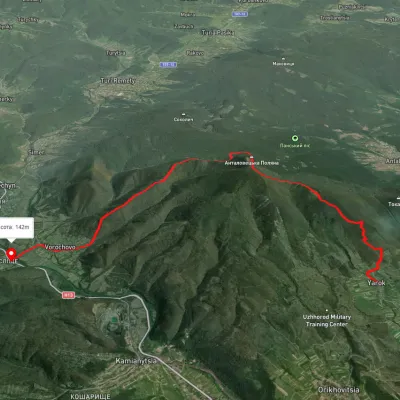 ModerateTwo-dayUnmarkedYarok village to Vorochovo villagevia Antalovetska PolianaElevation profile142–967 m16 kmascent 781 m≈ 5.5 h walkingunder 1 km from the centre
Peaks nearby
PeakMount Antalovetska Polyanaaltitude 968 m5.6 km from the centre8 trails to the topMount Antalovetska Polyana is a 968-meter high peak of the Ukrainian Carpathians, located in the western part of the Makovets mountain range on the border of two...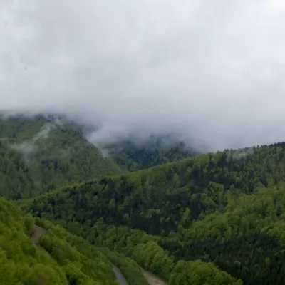 PeakMount Makovytsiaaltitude 978 m · Volcanic Carpathians range12 km from the centreMount Makovytsia is a gem of the western lands, with amazing landscapes, fairy-tale views, nature, air, and atmosphere located in the central part of the eponymous...
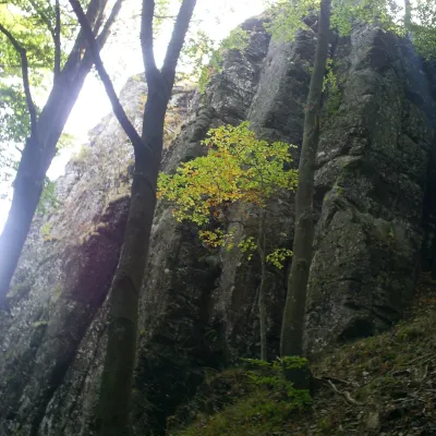 PeakMount Obavskyi Kaminaltitude 979 m · Volcanic Carpathians range29 km from the centreObavskyi Kamin (the “Obava Stone”) is a 979 m summit in the Syniak massif, part of the volcanic ridge of the Ukrainian Carpathians.