Vorokhta – Borsuchyna polonyna
Trail map
Route, springs and shelters: © OpenStreetMap contributors (ODbL) · elevation: Copernicus DEM © DLR e.V., © Airbus DS · Data & licences
Where to stay nearby
About the trail
Route Vorokhta – Borsuchyna polonyna. Has green marking (regional route). Waymarking data: OpenStreetMap (© OpenStreetMap contributors, ODbL).
Officially marked regional tourist route. The marking is green, the sign is a horizontal stripe on a white background. Marked and maintained by: Carpathian National Nature Park. Length of the route — 5.4 km. Location: mountain range — Horgany, Ivano-Frankivsk region.
At a glance
A short route of 5.4 km with 382 m of ascent from Vorokhta to Borsuchyna polonyna. Estimated walking time: about 2 h, not counting stops. Difficulty: easy. Waymarking: green.
Route stages
- 0–1.5 kmClimb of 130 m (up to 926 m)
- 1.5–3 kmGentle ups and downs at 920–950 m
- 3–5.5 kmClimb of 210 m to Polonyna Borsuchyna
Steepest kilometre: km 4–5, a climb of 110 m (≈11%).
Water and overnight stays
A spring near the trail: at km 5.5.
Huts and shelters near the trail: Hut on Polonyna Bursuchyna (km 5.5), Hut on Polonyna Borsuchyna (2) (km 5.5), Hut on Polonyna Borsuchyna (km 5.5). Places to stay near the start and finish: Vorokhta.
When to go
Best time: May to October. In winter deep snow is possible, so experience and winter gear are needed.
Getting there
Start: Vorokhta. This is a one-way route: the finish is 4 km from the start in a straight line, so plan your way back in advance.
FAQ
- How long does the route take?
- Estimated walking time: about 2 h, not counting stops.
- Is there water on the route?
- A spring near the trail: at km 5.5.
- Where can I stay overnight?
- Huts and shelters near the trail: Hut on Polonyna Bursuchyna (km 5.5), Hut on Polonyna Borsuchyna (2) (km 5.5), Hut on Polonyna Borsuchyna (km 5.5). Places to stay near the start and finish: Vorokhta.
Water and shelter on the route
- Hut on Polonyna Bursuchynakm 5.4 from the start · Not verified · 1 137 m
- Hut on Polonyna Borsuchyna (2)km 5.4 from the start · Not verified · 1 133 m
- Hut on Polonyna Borsuchynakm 5.4 from the start · 50 m off the path · Not verified · 1 138 m
- Spring on Polonyna Borsuchynakm 5.4 from the start · 50 m off the path · Not verified · 1 137 m
Before you go, check the border-regime restrictions: Border Guard permit for mountain hikes (in Ukrainian)
Comments
Trails nearby
All trails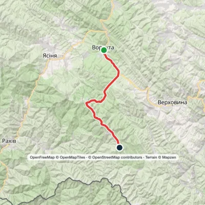 HardMulti-dayVorokhta to Mount Pip Ivan Chornohirskyivia Zaroslyak base, Mount Hoverla +2Elevation profile746–2 054 m42.2 kmascent 2 105 m
 HardMulti-dayVorokhta to Lake Brebeneskulvia Mount Shpytsi, Mount RebraElevation profile748–1 996 m28.3 kmascent 1 271 m≈ 9.5 h walking
 HardMulti-dayYasinia to Vorokhtavia Mount Petros, Mount Hoverla +2Elevation profile655–2 054 m60.3 kmascent 2 158 m
Craft nearby
All craft places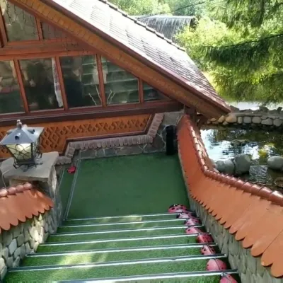 Koliby & Hutsul cuisineStara Vorokhta Restaurant, VorokhtaVorokhta3 km from the trailStara Vorokhta restaurant ("Old Vorokhta") is one of the best-known places for Hutsul food in Vorokhta: on Google Maps it is rated 4.6 from more than 6,300 reviews, a...
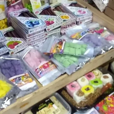 Markets & fairsSouvenir Bazaar by the Ski Jumps, VorokhtaVorokhta3.6 km from the trailThe souvenir bazaar in Vorokhta is one of the busiest little trading spots in the mountain Hutsul region.
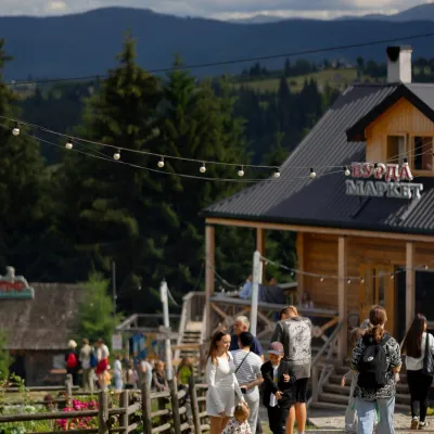 Mountain meadowPolonyna Pertsi Ethno Park, YablunytsiaYablunytsiaaltitude 940 m · Kukul range11 km from the trailPolonyna Pertsi (“Pepper Meadow”) is an ethno park of Hutsul traditions in Yablunytsia, close to the Yablunytsia Pass.
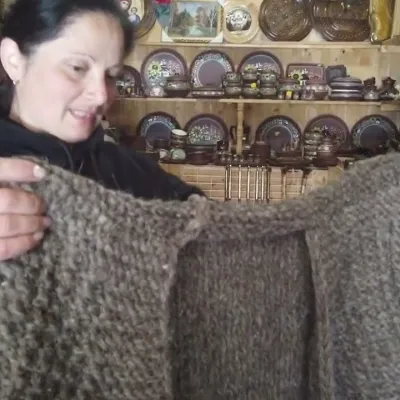 Markets & fairsSouvenir Market on the Yablunytsia Pass, YablunytsiaYablunytsia11 km from the trailThe souvenir market on the Yablunytsia Pass is one of the best-known roadside bazaars in the Carpathians.
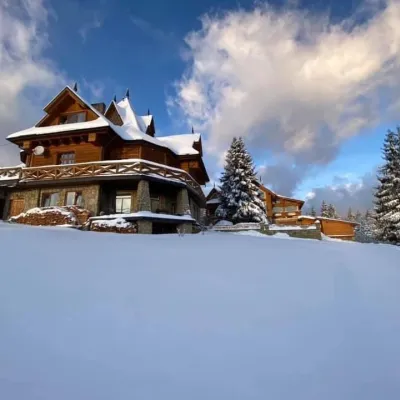 Koliby & Hutsul cuisineVysokyi Pereval Koliba, YablunytsiaYablunytsia12 km from the trailVysokyi Pereval Koliba ("High Pass") stands in Yablunytsia, on the new road to Bukovel, in the Horishkiv area.
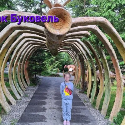 Theme parksDinoPark, Polianytsia (Bukovel)Yablunytsia12 km from the trailDinoPark in Polianytsia is an open-air dinosaur theme park at the entrance to Bukovel resort. It is easy to spot from the road: a huge dinosaur figure stands right by...
