Tyshiv
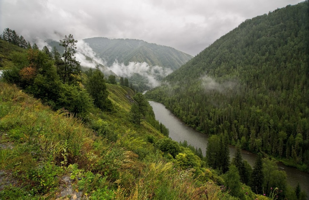
Tyshiv is a settlement in the Carpathian region of Ukraine. Location: Mukachevo district, Transcarpathian region. Worth seeing nearby: Bilasovytsi Cheese Dairy, Bilasovytsia — 3 km; Verkhnya Hrabivnytsia, Arpad Line Bunker. — 11 km; Church of the Cathedral of the Blessed Virgin Mary, Matkiv — 12 km. The nearest peaks: Mount Pikui — 1 408 m; Mount Zelemenyi — 1 304 m; Mount Nondah — 1 303 m. Hiking trails close by: Transcarpathian Tourist Trail; Bilasovytsia village, via Mount Pikui, the Ruska Put Pass and Mount Drohobytskyi Kamin to Sianky village. There are places to stay here and nearby, from guest houses to hotels.
Below: places to stay, sights, trails and peaks nearby, the weather and answers to frequent questions.
What to visit
Landmarks, museums and places of interest near Tyshiv.
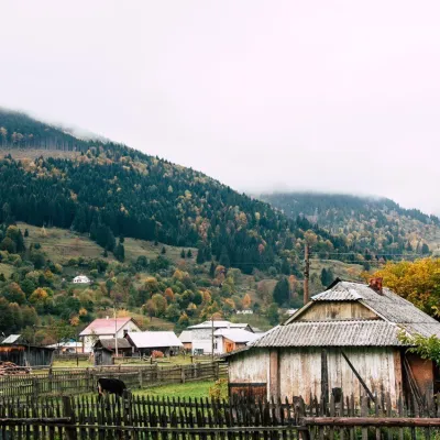 Cheese dairies & pasturesBilasovytsi Cheese Dairy, BilasovytsiaBilasovytsia2.7 km from the centreBilasovytsi Cheese Dairy is a small family dairy in the Transcarpathian village of Bilasovytsia, set at about 600 metres above sea level at the foot of Mount Pikui.
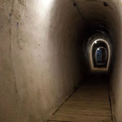 SightVerkhnya Hrabivnytsia, Arpad Line Bunker.Verkhnya Hrabivnytsia11 km from the centreThe bunker in the village of Verkhnia Hrabivnytsia is one of the best preserved monuments of the Second World War on the so-called Arpad Line.
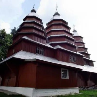 ChurchChurch of the Cathedral of the Blessed Virgin Mary, MatkivMatkiv12 km from the centreThe wooden church in the center of Matkovo is very difficult to miss. Situated on a low hill, the Church of the Cathedral of the Blessed Virgin Mary is the main...
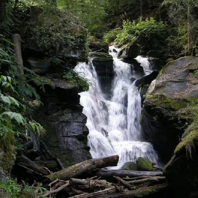 WaterfallVojvodyn waterfallPolianska Huta17 km from the centreThe Voyevodyn Waterfall is located on the stream of the same name near the village of Zhdeniyevo in Zakarpattia within the Sokolovi Skeli, an ornithological reserve of...
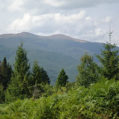 Mountain meadowPolonyna Rivna (Runa)Lumshoryaltitude 1 400 m20 km from the centrePolonyna Rivna, more often called Runa in Zakarpattia (in the local dialect "runa" means exactly "flat"), is a broad, gentle massif in the western part of the...
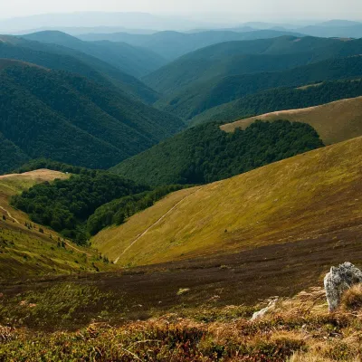 Mountain meadowPolonyna BorzhavaPylypetsaltitude 1 400 m22 km from the centrePolonyna Borzhava is the longest polonyna massif in Zakarpattia and one of the best known in the Polonynskyi Ridge of the Ukrainian Carpathians.
Craft nearby
All craft places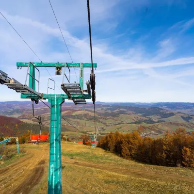 Adventures & attractionsPylypets Sky & Bike Park: chairlift and bike park, PylypetsPylypets23 km from the centrePylypets Sky & Bike Park is a chairlift and bike park in the Zakarpattia village of Pylypets, one of the region’s best-loved ski resorts.
 Cheese dairies & pasturesTurianskyi Dvir Estate Cheese Dairy, Turia PolianaTurya Polyana24 km from the centreTurianskyi Dvir is a private country estate on the shore of a mountain lake in the village of Turia Poliana in the Perechyn area, about 50 kilometres from Uzhhorod.
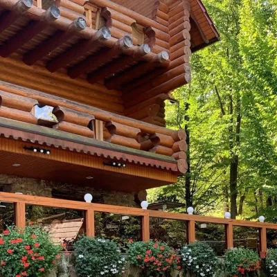 Koliby & Hutsul cuisineKolyba “Nad Potokom”, PolianaPolyana24 km from the centreKoliba nad Potokom (“Kolyba above the Stream”) is a wooden kolyba restaurant in the spa village of Poliana near Svaliava in Zakarpattia, on Dyskovetska Street, which...
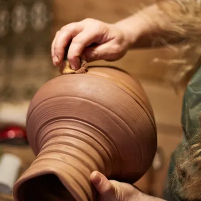 Crafts & workshops4 Seasons Pottery Studio and Horse Riding, SlavskeSlavske26 km from the centreThe 4 Seasons cottage complex in Slavske is known not only for its wooden chalets but also for two activities that turn an ordinary mountain break into something...
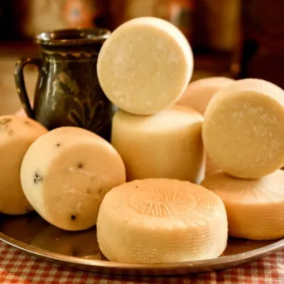 Cheese dairies & pasturesIZKI Highland Cheese Dairy, IzkyIzky27 km from the centreThe IZKI cheese dairy is the culinary highlight of the eco-resort of the same name in the village of Izky, Zakarpattia.
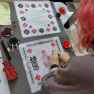 Crafts & workshopsBoyko Woodblock Fabric Printing Workshop, SlavskeSlavske28 km from the centreThe Boyko woodblock fabric printing workshop is run by craftswoman Natalia Horbonos-Akastiolova at the Centre of Boyko Culture in the Karpaty.Slavsko hotel.
Where to stay
Hotels, guesthouses and cottages in and around Tyshiv.
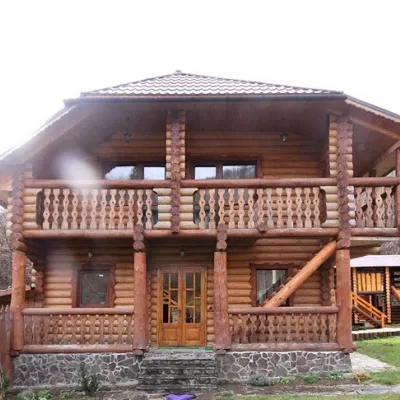 CottageCottage "Pustoshak" BilasovitsyaBilasovytsia3.7 km from the centreHot tubPoolSaunaNearby: Mt Pikui 2.6 kmMt Zelemenyi 4.5 km12 trails
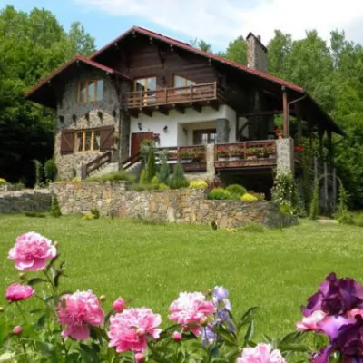 HomesteadChalet "Kukavica" ShcherbovetsShcherbovets7.9 km from the centreKitchenParkingNearby: Mt Pikui 4.0 kmVojvodyn waterfall 8.8 km8 trails
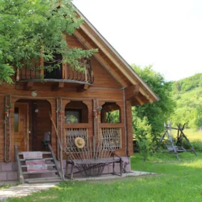 HomesteadHomestead "Kozatska Detsa" MykulychynZhdenievo8 km from the centreSaunaBBQKitchenNearby: Mt Pikui 6.6 kmVojvodyn waterfall 9.9 km2 trails
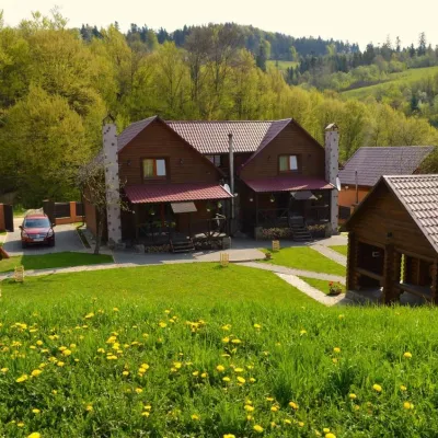 HomesteadPrivate Homestead "Shcherbovets"Shcherbovets8 km from the centreHot tubSaunaBBQNearby: Mt Pikui 4.1 kmVojvodyn waterfall 8.7 km8 trails
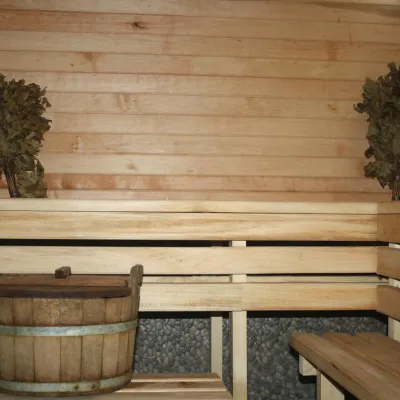 CottageHomestead "Lukacha" ZhdeniyevoPashkivtsi9.4 km from the centreSaunaFireplaceKitchenNearby: Mt Pikui 4.5 kmVojvodyn waterfall 7.9 km7 trails
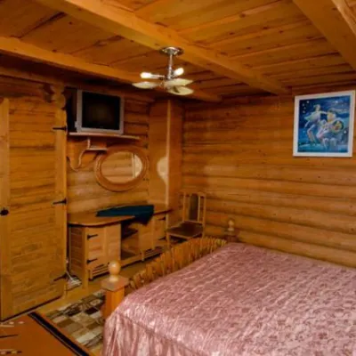 HotelHotel Complex "Smerkovyi Dvir" ZhdieniievoZhdenievo8.1 km from the centrePoolSaunaBBQNearby: Mt Pikui 6.6 kmVojvodyn waterfall 9.6 km3 trails
Trails nearby
All trails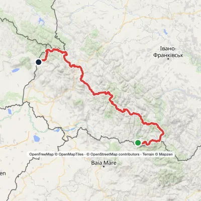 HardMulti-dayMarkedTranscarpathian Tourist TrailElevation profile202–2 054 m393.2 kmascent 16 874 m2.2 km from the centre
 HardMulti-dayMarkedBilasovytsia village to Sianky villagevia Mount Pikui, the Ruska Put Pass +1Elevation profile557–1 392 m41.1 kmascent 1 666 m≈ 13.5 h walking2.5 km from the centre
 HardMulti-dayMarkedUzhok village to Bilasovytsia villagevia Husnyi village, Mount Drohobytskyi Kamin +2Elevation profile540–1 385 m30.3 kmascent 1 300 m≈ 10 h walking2.5 km from the centre
Peaks nearby
All peaks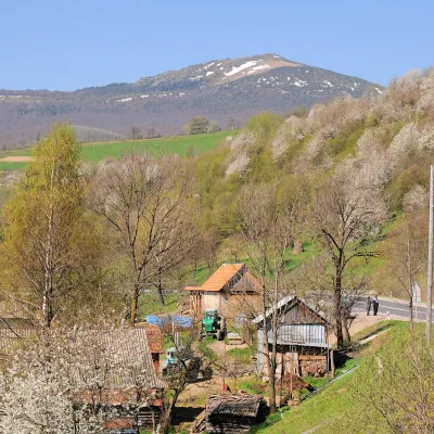 PeakMount PikuiShcherbovetsaltitude 1 408 m · Watershed Ridge range5.5 km from the centre1 trail to the topPikui is the highest peak of the Vododilnyi (Verkhovyna Watershed) Ridge of the Ukrainian Carpathians.
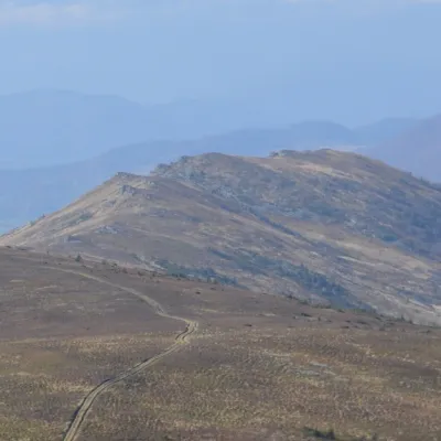 PeakMount ZelemenyiShcherbovetsaltitude 1 304 m · Watershed Ridge range7.9 km from the centreZelemenyi is a 1,304 m summit on the Vododilnyi (Verkhovyna Watershed) Ridge of the Ukrainian Carpathians.
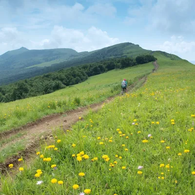 PeakMount NondahPerekhresnyialtitude 1 303 m · Watershed Ridge range9.5 km from the centreNondah is a 1,303 m summit on the Vododilnyi (Verkhovyna Watershed) Ridge, on the border of Lviv and Zakarpattia oblasts.
