Tarnów Koszyce – Rajbrot
Trail map
Route, springs and shelters: © OpenStreetMap contributors (ODbL) · elevation: Copernicus DEM © DLR e.V., © Airbus DS · Data & licences
About the trail
Route Tarnów Koszyce – Rajbrot. Has green marking (regional route, PTTK). Waymarking data: OpenStreetMap (© OpenStreetMap contributors, ODbL).
Officially marked regional tourist route. The marking is green, the sign is a horizontal stripe on a white background. Marked and maintained by: PTTK. Length of the route — 71.3 km. Location: mountain range — Ostry Beskid, Poland.
At a glance
A multi-day route of 71.3 km with 1,890 m of ascent from Tarnów Koszyce to Rajbrot. Estimated time: 3 days of 6–8 h of walking (about 21 h in total, not counting stops). Difficulty: hard. Waymarking: green.
How we estimate walking time
By Naismith's rule, used by mountain clubs and guidebooks: an average hiker walks 4 km an hour on the flat and needs one more hour for every 600 m of ascent. For this trail: 71.3 km ÷ 4 = 17.8 h + 1,890 m ÷ 600 = 3.2 h, about 21 h of walking in total.
- Breaks, snacks and photos: add 20–30 %.
- A heavy pack, children, snow, a wet path or windfall add more; a long steep descent also takes time, especially for the knees.
- The height of the Carpathians (up to 2,655 m) hardly changes the pace — on the ridges wind, fog and weather slow you down.
- Limits: up to 9 h is one day; 9–13 h is a very long day or two; over 13 h means several days with overnight stays.
Route stages
- 0–38 kmGentle ups and downs at 190–500 m
- 38–41 kmDescent of 200 m (down to 259 m)
- 41–45 kmClimb of 210 m (up to 466 m)
- 45–53 kmGentle ups and downs at 220–470 m
- 53–57 kmClimb of 250 m (up to 482 m)
- 57–71 kmGentle ups and downs at 320–520 m
Steepest kilometre: km 40–41, a descent of 150 m (≈15%).
Water and overnight stays
Our map shows no springs near the trail — bring your own water (at least 3 l).
Huts and shelters near the trail: Hut below Sucha Góra (km 33).
A possible split into days:
- Day 1: km 0–24, ≈7 h — overnight: no shelter nearby on the map, bring a tent
- Day 2: km 24–48, ≈7 h — overnight: no shelter nearby on the map, bring a tent
- Day 3: km 48–71, ≈7 h — finish
When to go
The route can be walked most of the year; it is most comfortable from April to October.
Getting there
Start: Tarnów Koszyce. This is a one-way route: the finish is 38 km from the start in a straight line, so plan your way back in advance.
FAQ
- How long does the route take?
- Estimated time: 3 days of 6–8 h of walking (about 21 h in total, not counting stops).
- Is there water on the route?
- Our map shows no springs near the trail — bring your own water (at least 3 l).
- Where can I stay overnight?
- Huts and shelters near the trail: Hut below Sucha Góra (km 33).
Water and shelter on the route
- Hut below Sucha Górakm 33.4 from the start · Not verified · 322 m
Comments and trail condition
Travellers’ experience: reports, tips, questions.
No one has reported on this trail yet. Been here lately? Tell others what it is like now.
Wildlife along the route
All
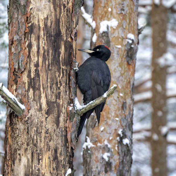
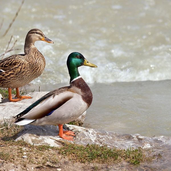
Based on naturalists’ records nearby (GBIF, iNaturalist), matched by altitude, habitat and season. Sightings are not guaranteed.
Trails nearby
All trails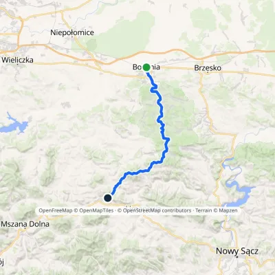 HardTwo-dayMarkedBochnia TymbarkElevation profile206–775 m44.5 kmascent 1 321 m≈ 13.5 h walking
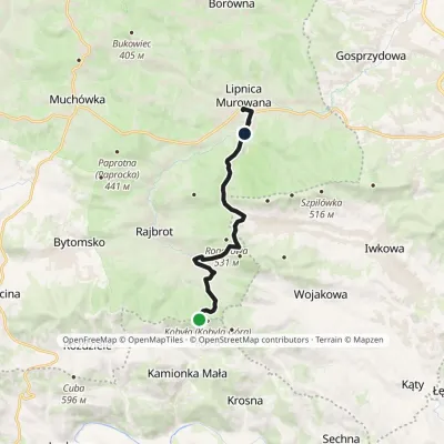 EasyOne-dayMarkedKobyła Lipnica MurowanaElevation profile271–590 m11 kmascent 219 m≈ 3 h walking
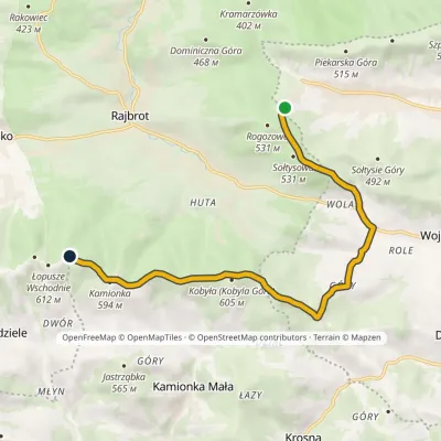 EasyOne-dayMarkedIwkowa, mountain hut Łopusze WschodnieElevation profile336–610 m9.4 kmascent 362 m≈ 3 h walking
Craft nearby
All craft places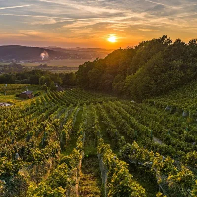 Wine & tastingsWinnica Dąbrówka near Tarnów: wines named after Polish royalsDąbrówka Szczepanowska9.1 km from the trailWinnica Dąbrówka lies in the village of Dąbrówka Szczepanowska, Pleśna municipality, 12 km from Tarnów, where the Sandomierz Basin meets the Western Carpathian foothills.
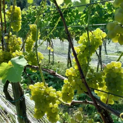 Wine & tastingsWinnica Jakubowa, Karwodrza: intimate wine tastingsKarwodrza13 km from the trailWinnica Jakubowa is a small craft farm in the village of Karwodrza near Tuchów, on the south-west slope of one of the hills of the Ciężkowice Foothills (Pogórze...
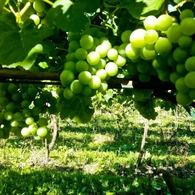 Wine & tastingsPiwnice Antoniego in Wola Lubecka: wine, honey and tastingsWola Lubecka20 km from the trailPiwnice Antoniego ("Antoni's Cellars") is a family winery and apiary in the village of Wola Lubecka in the Ryglice commune, where the Sandomierz Basin meets the first...
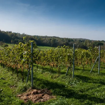 Wine & tastingsWinnica Chronów: natural wines where the Island Beskids beginChronów30 km from the trailWinnica Chronów lies where the Island Beskids (Beskid Wyspowy) begin, on the edge of the Wiśnicz-Lipnica Landscape Park, in the small village of Chronów in the Nowy...
 Markets & fairsFasolowe Żniwa in Rożnów: the Piękny Jaś bean harvest festivalRożnów31 km from the trailThe Dunajec valley around Lake Rożnów is famous for the large white “Piękny Jaś” (Beautiful Johnny) bean. “Fasola Piękny Jaś z Doliny Dunajca” holds EU Protected...
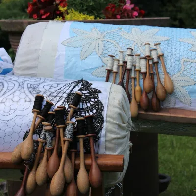 Crafts & workshopsKoronkarnia, Bobowa: bobbin lace by Ewa SzpilaBobowa32 km from the trailKoronkarnia is the workshop and small shop of Ewa Szpila, one of the town's best-known lacemakers. She is not from Bobowa and is an accountant by profession: she...
