Nová Bystrica
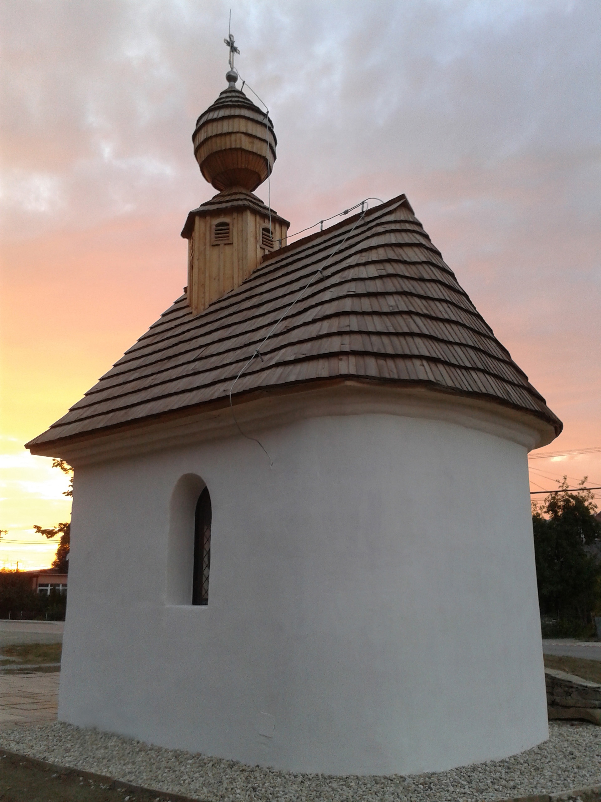
Photos: Nelliette, CC BY-SA 3.0 (Wikimedia Commons); Lukáš Macek, CC BY-SA 4.0 (Wikimedia Commons); Michał Derela, CC BY-SA 4.0 (Wikimedia Commons); Michał Derela, CC BY-SA 4.0 (Wikimedia Commons); Salman Diweny, CC BY-SA 4.0 (Wikimedia Commons)
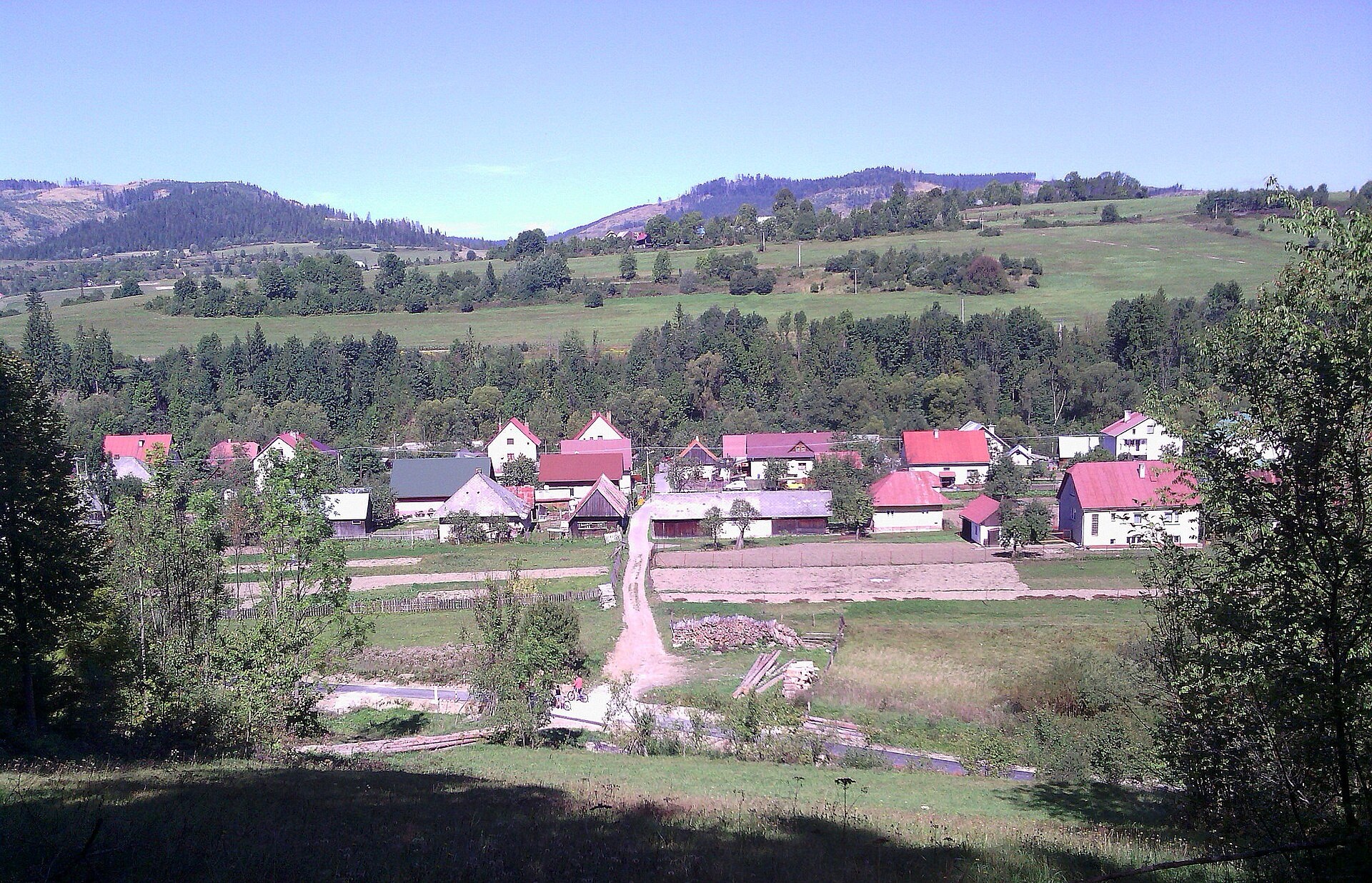
Nová Bystrica is a village in the Čadca District of the Žilina region, Slovakia, situated in the upper part of the Bystrica river valley among the scenic Żywiec Beskids. The village lies at an altitude of 593 metres and is surrounded by dense forests, the Vychylovka, Harvelka and Chmúrov streams, and the Nová Bystrica reservoir.
The first historical mention of Nová Bystrica dates back to 1662. In the 1980s, the territories of the now-submerged villages of Riečnica and Harvelka were incorporated into the municipality after the creation of the reservoir.
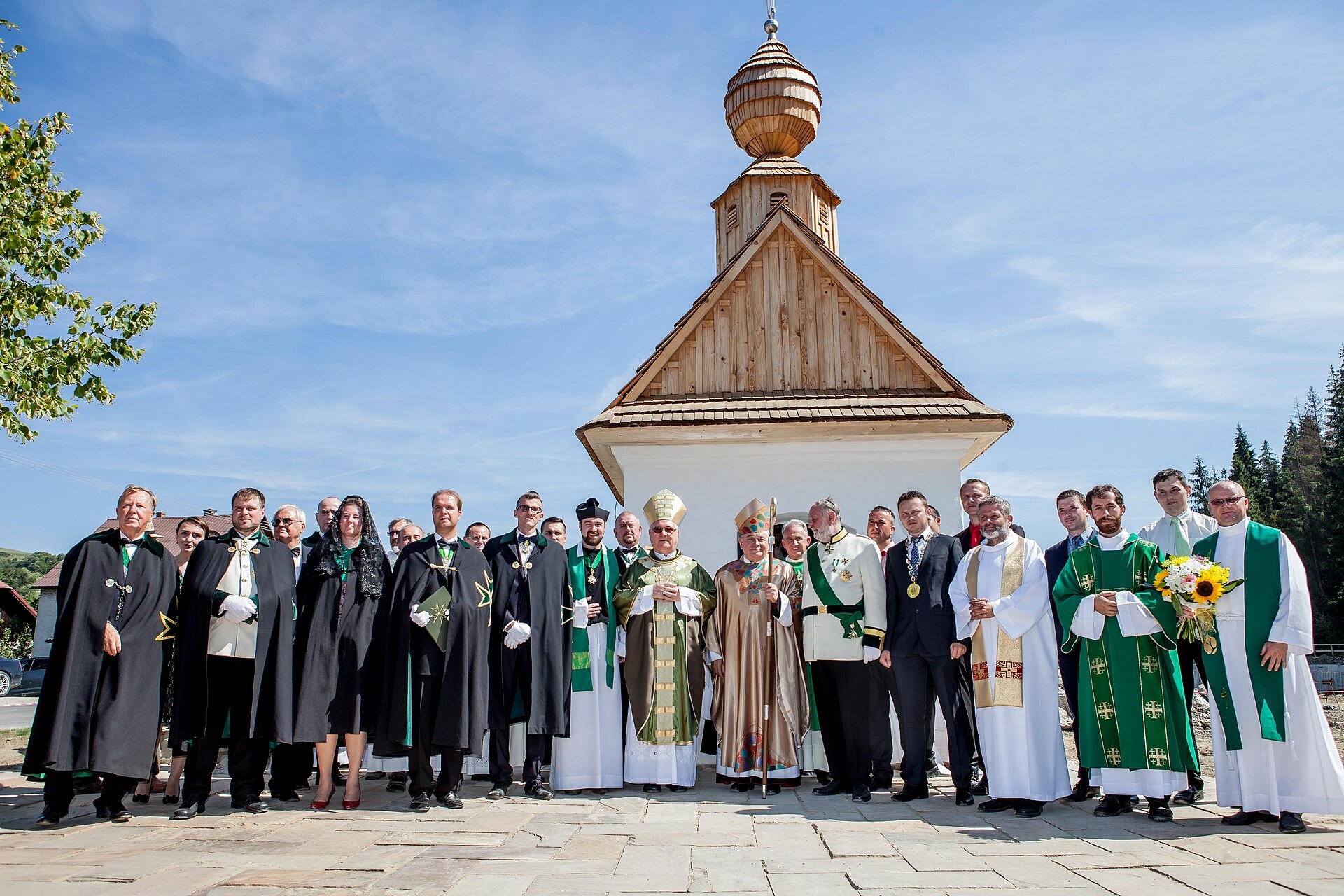
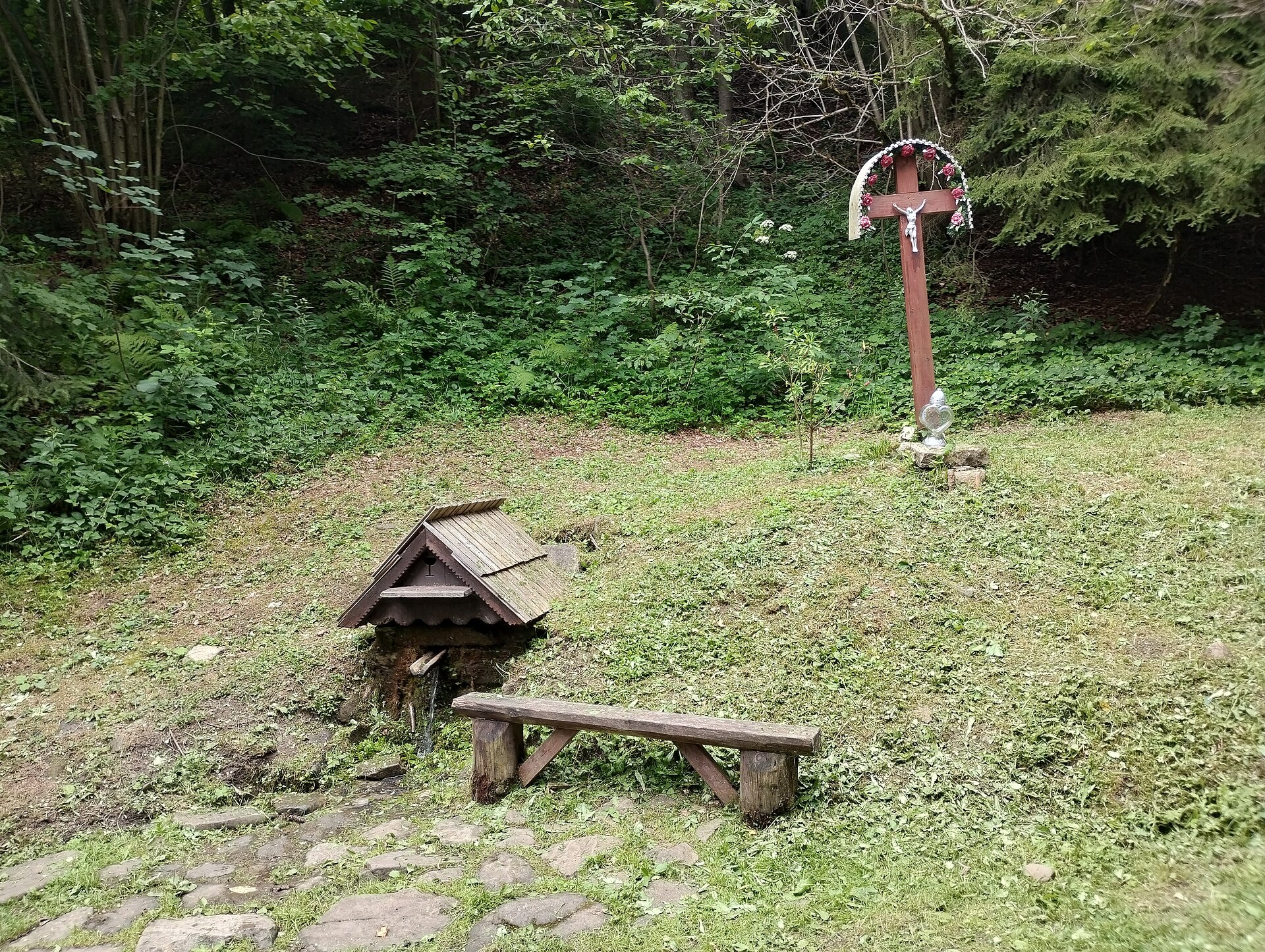
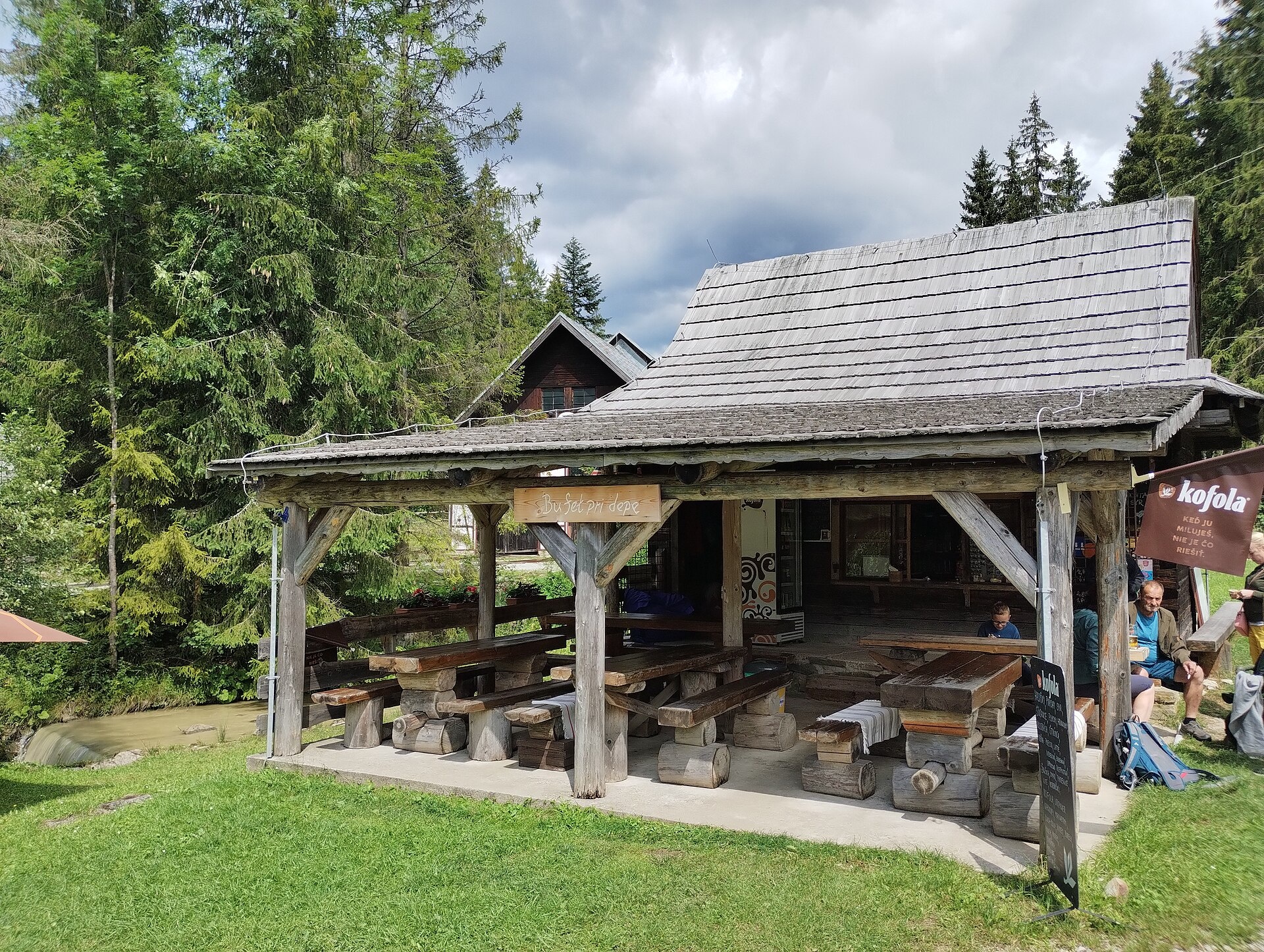
The village is known for its natural landscapes, the reservoir, and cultural heritage. In the Vychylovka area, visitors can find the Museum of Kysuce Village and the historic forest railway, both preserving the memory of the flooded settlements. The area also features the protected Vychylovka banks and Vychylovka rocks.
Visitors can explore numerous trails such as Medzigolie – Medzirozsutce, Lodno – Veľká Rača, and Kysucký Lieskovec – Rovne, or ascend the peak of Veľký Rozsutec. Notable sights include Jánošíkove Diery, Vrátna Valley, and the summit of Veľká Rača. Mountain hikers can use the huts Chata na Grúni and Vrátna Shelter.
Getting there from Ukraine
From Uzhhorod to Žilina is about 330 km, around 4 h 20 min without queues: Uzhhorod – Vyšné Nemecké → I/19 to Košice → D1 via Prešov, Poprad, Liptovský Mikuláš and Ružomberok (≈17 km on I/18 between D1 sections) → Žilina. To Terchová ≈314 km, ≈4 h 15 min: from the D1 onto I/70 and II/583. From Lviv through Poland: M-10 → Krakovets – Korczowa → A4 to Kraków → S7/DK7 to Chyżne – Trstená → R3, I/59 to Dolný Kubín → II/583 via Terchová to Žilina: to Terchová ≈493 km (≈6 h 30 min), to Žilina ≈518 km (≈7 h). Via the tolled A4 Kraków – Katowice, S1 and D3: ≈533 km, ≈6 h 35 min. The D1 requires an e-vignette (eznamka.sk).
Sources: Wikipedia, Wikidata, OpenStreetMap, Karpaty.rocks data. More on Wikipedia
Trails nearby
All trails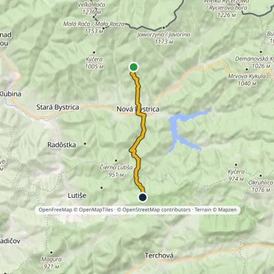 ModerateOne-dayMarkedPod Brýzgalkou Pod VojennýmElevation profile525–887 m10.6 kmascent 383 m≈ 3.5 h walkingunder 1 km from the centre
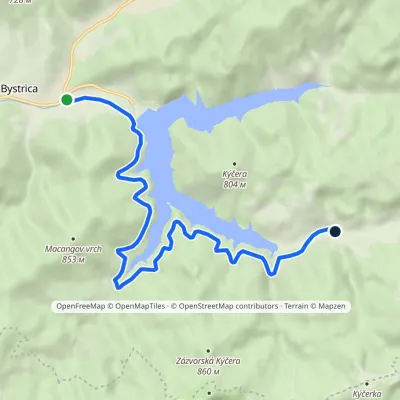 EasyOne-dayMarkedNová Bystrica, primary school Riečnica, churchElevation profile535–657 m10.2 kmascent 193 m≈ 3 h walkingunder 1 km from the centre
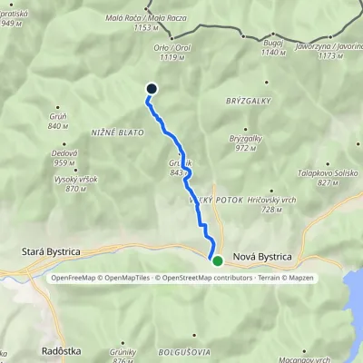 EasyOne-dayMarkedNová Bystrica, Cadrikovia KýčeraElevation profile516–1 005 m5.4 kmascent 487 m≈ 2.5 h walking1.1 km from the centre
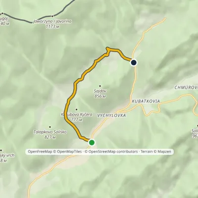 EasyOne-dayMarkedVychylovka, Pavelkovia Vychylovka, KolenoElevation profile584–780 m4.6 kmascent 196 m≈ 1.5 h walking3.3 km from the centre
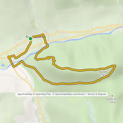 EasyOne-dayMarkedStará Bystrica Lookout Tower on BobovecElevation profile471–754 m6.7 kmascent 280 m≈ 2 h walking3.6 km from the centre
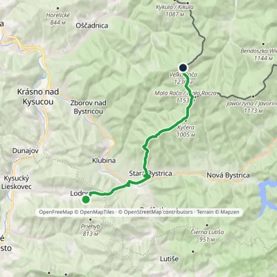 ModerateTwo-dayMarkedLodno Veľká RačaElevation profile463–1 236 m15.9 kmascent 1 016 m≈ 6 h walking5.1 km from the centre
Peaks nearby
All peaks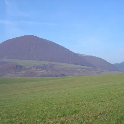 PeakĽadonhoraHorný Vadičovaltitude 999 m12 km from the centreĽadonhora is a forested 999 m summit in northern Slovakia and the second-highest peak of the Kysuce Highlands (Kysucká vrchovina).
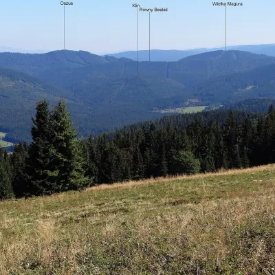 PeakVysoká MaguraZákamennéaltitude 1 115 m13 km from the centreVysoká Magura (Polish Wysoka Magura) is a 1115 m summit in the Orava Beskids (Oravské Beskydy) in northern Slovakia, which Polish geographers count as part of the...
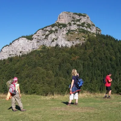 PeakMalý RozsutecTerchováaltitude 1 343 m13 km from the centre1 trail to the topMalý Rozsutec is a craggy limestone summit 1343 m high in the Malá Fatra (Lesser Fatra), Slovakia, in its Krivánska part.
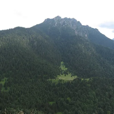 PeakVeľký RozsutecTerchováaltitude 1 610 m14 km from the centre1 trail to the topVeľký Rozsutec (Polish Wielki Rozsutec) is a 1,609.8 m summit in the Malá Fatra, the most striking mountain of its Krivánska part and, according to Slovak sources, one...
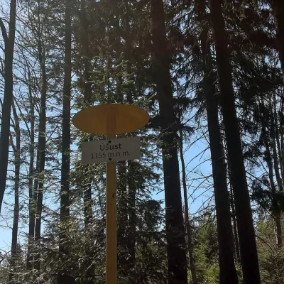 PeakÚšust (Oszus)Zákamennéaltitude 1 155 m15 km from the centreÚšust (Polish Oszus or Oszust) is a 1155 m summit in the Orava Beskids on the Slovak–Polish border. It rises above the village of Oravská Lesná (about 4.4 km), some 20...
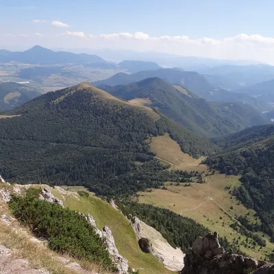 PeakOsnicaPárnicaaltitude 1 363 m16 km from the centreOsnica is a 1363 m summit in the north-eastern part of the Lesser Fatra (Malá Fatra) in Slovakia, about 9 km west of Dolný Kubín.
What to visit
All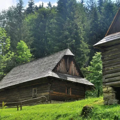 MuseumKysuce Village Museum and Forest Railway, VychylovkaNová Bystrica7.6 km from the centreThe Kysuce Village Museum (Múzeum kysuckej dediny) is an open-air museum in the Chmúra valley, in the Vychylovka part of the village of Nová Bystrica, in the far north...
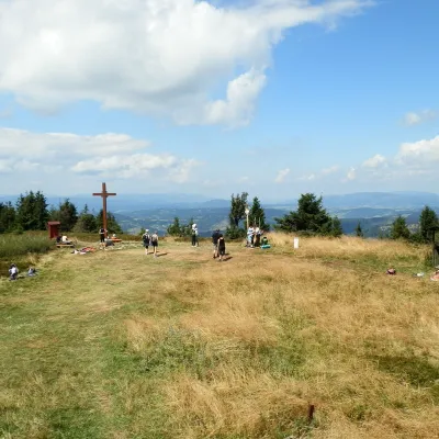 Mountain meadowThe summit hala of Veľká Rača, the highest peak of the Kysucké BeskydyKlubinaaltitude 1 236 m8.2 km from the centreVeľká Rača (Polish Wielka Racza, 1,236 m) is the highest mountain of the Kysucké Beskydy on the Slovak–Polish border, about 12 km east of the town of Čadca.
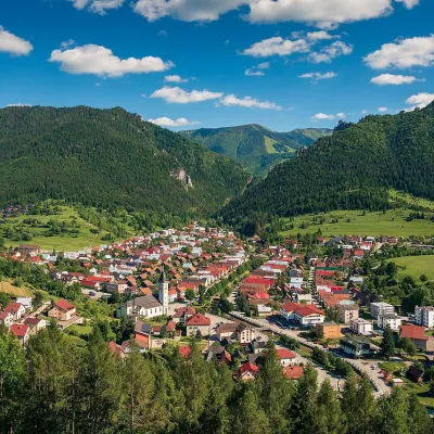 Historic siteTerchováTerchová9.8 km from the centreTerchová is a village in northern Slovakia, in the Žilina district, between the Krivánska Malá Fatra and the Kysucká vrchovina uplands.
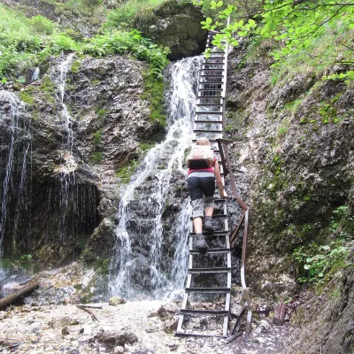 NatureJánošík's Holes (Jánošíkove diery)Terchová11 km from the centreJánošíkove diery (Jánošík’s Holes), or simply Diery, is a system of narrow gorges and canyons in the Krivánska Malá Fatra near the village of Terchová, birthplace of...
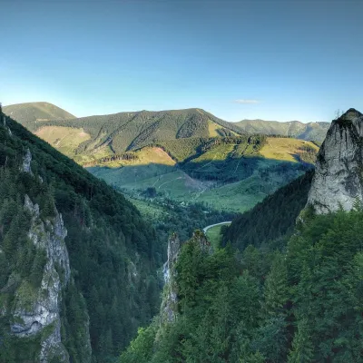 NatureVrátna ValleyTerchová13 km from the centreVrátna dolina, or simply Vrátna, is a valley in the Krivánska Malá Fatra and the largest centre of summer and winter tourism in these mountains.
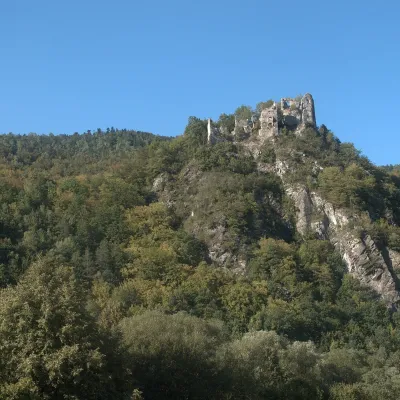 CastleStarý hrad (Old Castle)Nezbudská Lúčka21 km from the centreStarý hrad (Old Castle), known locally as Starhrad and in the past as Varín (Warna), is the ruin of a medieval castle on a granite crag on the right bank of the Váh,...
Craft nearby
All craft places Cheese dairies & pasturesSalaš Syrex in Zázrivá — Home of the Zázrivá Korbáčik CheeseZázrivá11 km from the centreZázrivá is a scattered mountain village on the border of Orava and the Malá Fatra, famous throughout Slovakia for its korbáčiky: thin strings of steamed cheese braided...
 Cheese dairies & pasturesRaková farm in Kysuce: bryndza, žinčica and cheese cakesRaková22 km from the centreKysuce is a hilly region in north-western Slovakia, near the Polish and Czech borders, with scattered hillside hamlets (“kopanice”) and an old tradition of keeping...
 Cheese dairies & pasturesFarma Brezany near Žilina: hand-stretched cheese and a distilleryBrezany30 km from the centreBrezany is a village a few kilometres south of Žilina, on the edge of the Žilina basin and the foothills leading towards the Rajec valley and the Strážov Hills.
Huts, shelters and springs nearby
Getting there from Ukraine
Border crossings
- Uzhhorod – Vyšné Nemecké — road, 24/7
- Malyi Bereznyi – Ubľa — road, 24/7 For cars and buses; pedestrians not confirmed by the Ukrainian border service, lorries up to 3.5 t.
- Mali Selmentsi – Veľké Slemence (pedestrian) — pedestrian, 09:00–21:00 Kyiv time Pedestrians and cyclists only; inconvenient for the Tatras without onward transport.
- Chop – Čierna nad Tisou (rail) — rail, 24/7
By car
From Uzhhorod to Žilina ≈330 km, ≈4 h 20 min without queues: Uzhhorod – Vyšné Nemecké → I/19 to Košice → D1 via Prešov, Poprad, Liptovský Mikuláš and Ružomberok (≈17 km on I/18 between D1 sections) → Žilina. To Terchová ≈314 km, ≈4 h 15 min: from the D1 onto I/70 and II/583. From Lviv through Poland: M-10 → Krakovets – Korczowa → A4 to Kraków → S7/DK7 to Chyżne – Trstená → R3, I/59 to Dolný Kubín → II/583 via Terchová to Žilina: to Terchová ≈493 km (≈6 h 30 min), to Žilina ≈518 km (≈7 h). Via the tolled A4 Kraków – Katowice, S1 and D3: ≈533 km, ≈6 h 35 min. The D1 requires an e-vignette (eznamka.sk).
Checked 23.10.2026; border crossing hours and timetables change — check before you travel.
