Malý Rozsutec
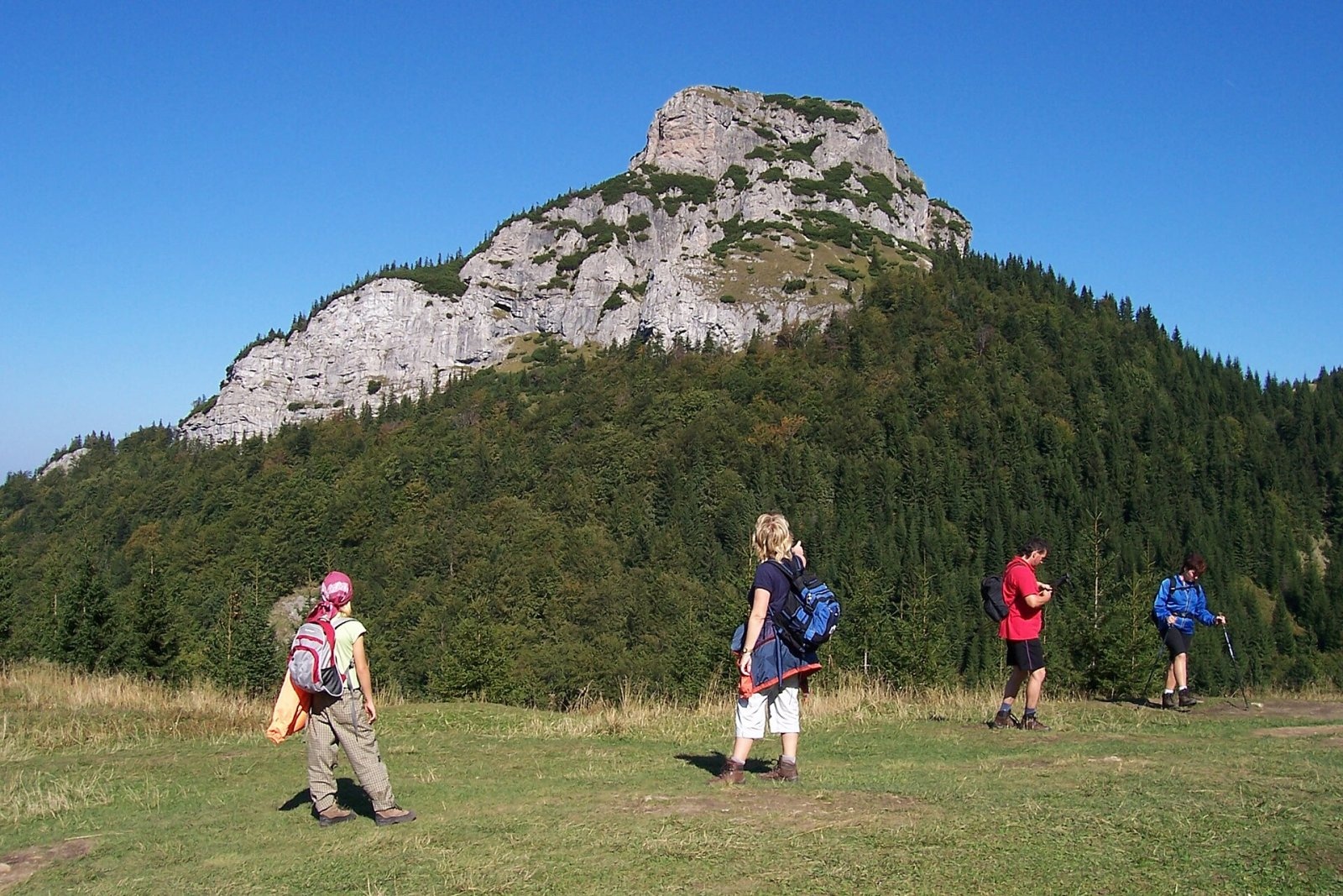
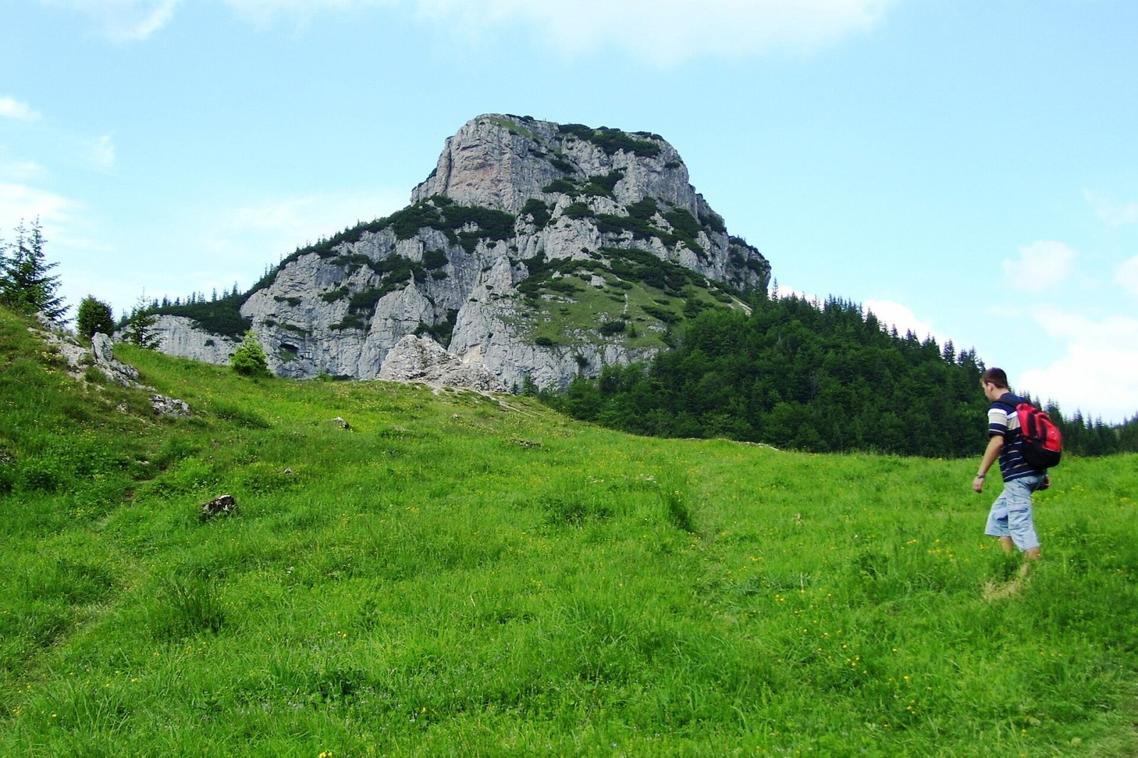
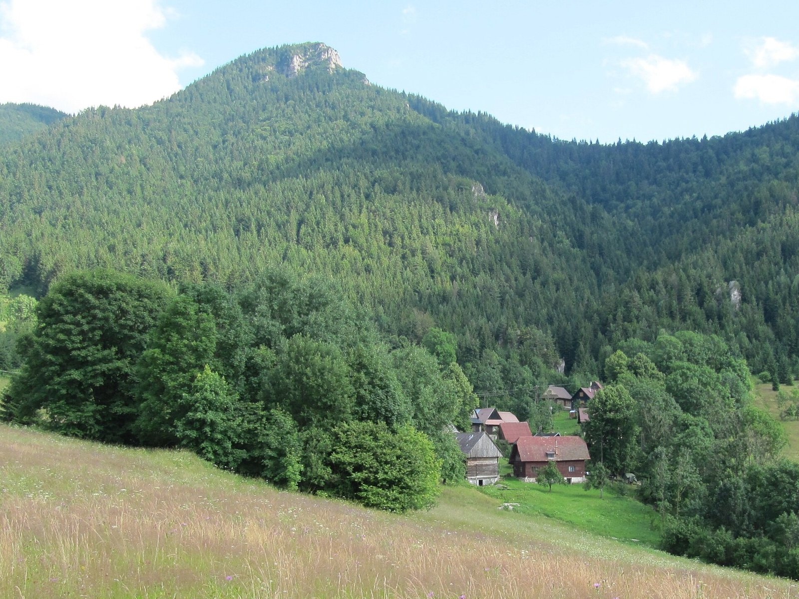
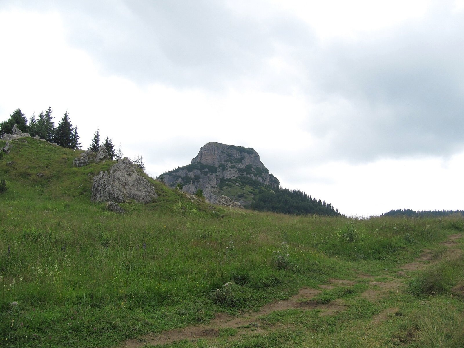
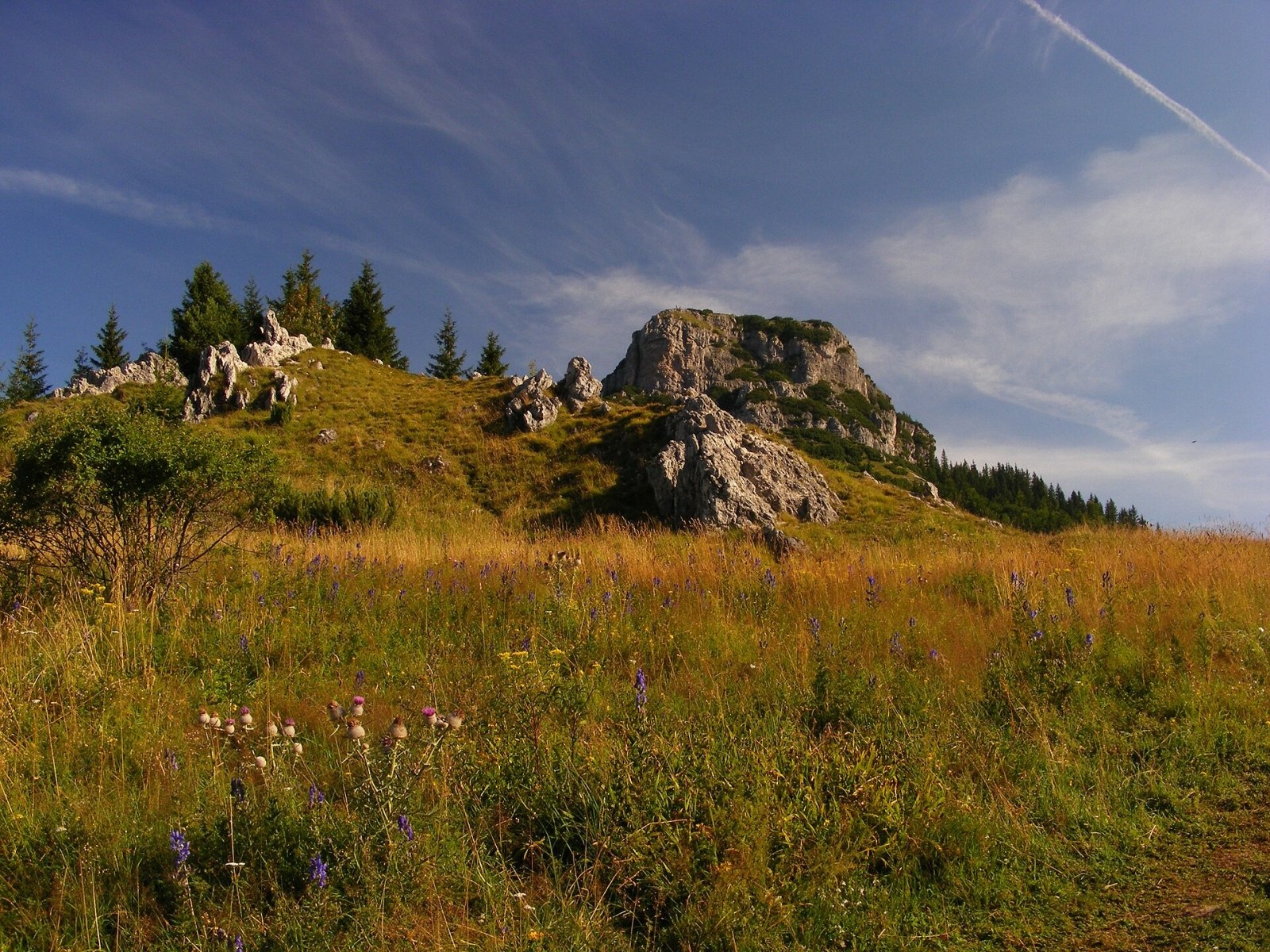
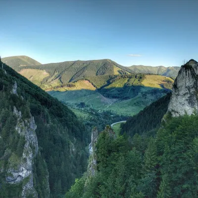
Malý Rozsutec is a craggy limestone summit 1343 m high in the Malá Fatra (Lesser Fatra), Slovakia, in its Krivánska part. It stands on the northern edge of the range, about 5 km east of Terchová and some 1.6 km north of its higher neighbour, Veľký Rozsutec (1610 m). A shallow saddle, sedlo Zákres (about 1225 m), separates it from the main watershed ridge. Its jagged rock crest and steep limestone walls, rising almost 750 m above the Biely potok valley, together with Veľký Rozsutec form the unmistakable skyline of the northern Malá Fatra. The summit lies in the municipality of Terchová in the Žilina District, while its eastern foot belongs to Zázrivá.
Getting there / routes
Although Malý Rozsutec is lower than Veľký Rozsutec, it is slightly harder to reach: both marked approaches include sections protected with metal rungs and chains.
- Green (KST 5661): from the Biely Potok part of Terchová via the hamlet of Podrozsutec and the west shoulder to the summit — about 2 h 30 min (down 1 h 45 min).
- From the Medzirozsutce saddle (1203 m) — a short but steep climb on chains up the east wall, about 20 min (down 15 min). This side is better suited for descent.
- Through the gorges: from Biely Potok via Dolné diery, Horné diery and Tesná rizňa — a system of three canyons with footbridges, ladders and chains — to Medzirozsutce and on to the summit, about 2 h 30 min.
Czech sources warn plainly that the climb is not for anyone afraid of heights, as a fall of several tens of metres is possible in places. The most comfortable option is to go up from Medzirozsutce and descend on the other side, where the terrain is gentler.
What you can see from the summit
Because it is lower, the view is somewhat narrower than from the surrounding peaks, but Malý Rozsutec gives a fine look at Veľký Rozsutec, the northern slopes of the eastern massif and many peaks of the main Krivánska Fatra ridge. In good conditions the Tatras, the Choč Mountains and the Orava, Kysuce and Moravian-Silesian Beskids are visible too.
Nature and history
Like neighbouring Veľký Rozsutec, the summit is carved from limestone and dolomite of the so-called Choč nappe. There are many karst features, notably the Crystal Cave (Kryštálová jaskyňa), which is closed to visitors. Apart from part of the eastern slope the massif is forested, and the summit is covered with dwarf pine. The north-west of the massif drains into the Biely potok, the south-west into the Hlboký potok, both tributaries of the Varínka.
The summit is part of the Rozsutec national nature reserve, declared in 1967 with an area of 842 ha inside Malá Fatra National Park. The area is one of the richest botanical sites in Slovakia, with rare lime-loving plants. In 2017 the summit height was refined by GNSS satellite survey to 1343.43 m.
Safety, season and rules
In Malá Fatra National Park you may walk only on marked trails; in summer (16 April to 31 October) between 6:00 and 21:00, in winter between 7:00 and 18:00. The spring closure from 1 March to 15 June applies to the red Medziholie – Veľký Rozsutec – Medzirozsutce trail, not to Malý Rozsutec, but bear it in mind when planning a loop. The chained sections are slippery when wet and dangerous in winter. Slovak Mountain Rescue Service (HZS): 18 300 (+421 18 300), general emergency number 112.
Photos: Palickap, CC BY-SA 4.0; Michal Jakubský, CC BY 3.0; Palickap, CC BY-SA 4.0; Palickap, CC BY-SA 4.0; maczopikczu, CC BY 3.0; Ximonic (Simo Räsänen), CC BY-SA 4.0; Palickap, CC BY-SA 4.0; Jerzy Opioła, CC BY-SA 4.0 — Wikimedia Commons.
Getting there from Ukraine
Border crossings
- Uzhhorod – Vyšné Nemecké — road, 24/7
- Malyi Bereznyi – Ubľa — road, 24/7 For cars and buses; pedestrians not confirmed by the Ukrainian border service, lorries up to 3.5 t.
- Mali Selmentsi – Veľké Slemence (pedestrian) — pedestrian, 09:00–21:00 Kyiv time Pedestrians and cyclists only; inconvenient for the Tatras without onward transport.
- Chop – Čierna nad Tisou (rail) — rail, 24/7
By car
From Uzhhorod ≈275 km, ≈3 h 35 min without queues: Uzhhorod – Vyšné Nemecké → I/19 to Košice → D1 motorway via Prešov, Poprad and Liptovský Mikuláš to Ružomberok (≈270 km, ≈3 h 25 min from the border). From Lviv it is faster through Poland: M-10 → Krakovets – Korczowa → A4 to Kraków → S7/DK7 to the Chyżne – Trstená border → R3 and I/59 via Dolný Kubín to Ružomberok: ≈482 km, ≈6 h 15 min (via Uzhok and Ubľa ≈500 km, ≈7 h 30 min). The D1 requires an e-vignette (eznamka.sk).
Checked 23.10.2026; border crossing hours and timetables change — check before you travel.
Location on the map
Water and shelter nearby
- Spring below Malý Rozsutec450 m · Not verified · 1 182 m
- Hlboký potok Captured Spring, 1 124 m870 m · Not verified · 1 124 m
- Drinking water below Malý Rozsutec1.1 km · Not verified · 797 m
- Spring below Ostré (north-west slope), 855 m1.8 km · Not verified · 855 m
- Spring below Ostré (north-west slope), 862 m1.8 km · Not verified · 862 m
- Spring below Boboty (east slope), 724 m1.9 km · Not verified · 724 m
- Spring below Čapica2 km · Not verified · 846 m
- Spring below Ostré (west slope), 941 m2 km · Not verified · 941 m
- Spring below Boboty (east slope), 709 m2.1 km · Not verified · 709 m
- Spring below Veľký Rozsutec (south-east slope), 1 275 m2.1 km · Not verified · 1 275 m
- Spring below Boboty (east slope), 696 m2.1 km · Not verified · 696 m
- Spring below Veľký Rozsutec (south-east slope), 1 140 m2.2 km · Not verified · 1 140 m
- Spring below Boboty (north-east slope)2.2 km · Not verified · 614 m
- Spring below Bučkov vrch (south slope)2.2 km · Not verified · 610 m
- Spring below Veľký Rozsutec (south-east slope), 1 086 m2.3 km · Not verified · 1 086 m
- Spring below Veľký Rozsutec (south slope)2.4 km · Not verified · 1 158 m
Comments
Trails via Malý Rozsutec
All 1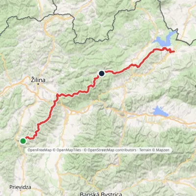
Nearby attractions
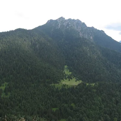 PeakVeľký RozsutecTerchováaltitude 1 610 m1.7 km from Malý Rozsutec1 trail to the topVeľký Rozsutec (Polish Wielki Rozsutec) is a 1,609.8 m summit in the Malá Fatra, the most striking mountain of its Krivánska part and, according to Slovak sources, one...
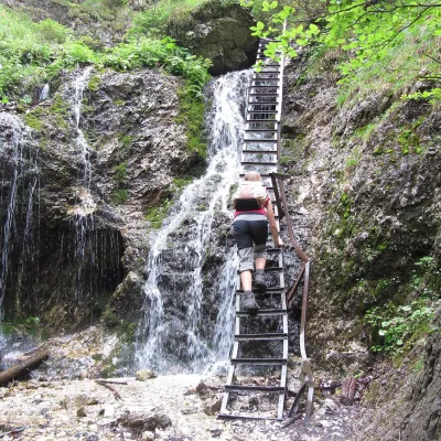 NatureJánošík's Holes (Jánošíkove diery)Terchová2.1 km from Malý RozsutecJánošíkove diery (Jánošík’s Holes), or simply Diery, is a system of narrow gorges and canyons in the Krivánska Malá Fatra near the village of Terchová, birthplace of...
 NatureVrátna ValleyTerchová5.4 km from Malý RozsutecVrátna dolina, or simply Vrátna, is a valley in the Krivánska Malá Fatra and the largest centre of summer and winter tourism in these mountains.
Craft nearby
All craft places Cheese dairies & pasturesSalaš Syrex in Zázrivá — Home of the Zázrivá Korbáčik CheeseZázrivá2 km from Malý RozsutecZázrivá is a scattered mountain village on the border of Orava and the Malá Fatra, famous throughout Slovakia for its korbáčiky: thin strings of steamed cheese braided...
 Cheese dairies & pasturesSalaš Krajinka near RužomberokRužomberok18 km from Malý RozsutecSalaš Krajinka is a genuine sheep farm on the edge of Ružomberok in lower Liptov. It was founded in 1983 to keep a thousand sheep, and the owners have deliberately...
 Craft beer & breweriesURSUS craft brewery, Čutkovská valleyRužomberok22 km from Malý RozsutecURSUS craft brewery (Remeselný pivovar URSUS) is the first brewery of the town of Ružomberok, tucked away in the picturesque Čutkovská valley in lower Liptov.
 Water parks & thermal poolsLúčky Spa and AQUA-VITAL ParkLúčky25 km from Malý RozsutecLúčky Spa (Kúpele Lúčky) lies in a quiet valley beneath the Choč Mountains, in the village of Lúčky near Ružomberok.
 Water parks & thermal poolsBešeňová Water ParkBešeňová30 km from Malý RozsutecBešeňová — the "thermal heart of Liptov" Bešeňová Water Park (Vodný park Bešeňová) lies on the edge of the village of the same name in the western part of the Liptov...
 Cheese dairies & pasturesFarma Brezany near Žilina: hand-stretched cheese and a distilleryBrezany32 km from Malý RozsutecBrezany is a village a few kilometres south of Žilina, on the edge of the Žilina basin and the foothills leading towards the Rajec valley and the Strážov Hills.
