Veľký Rozsutec
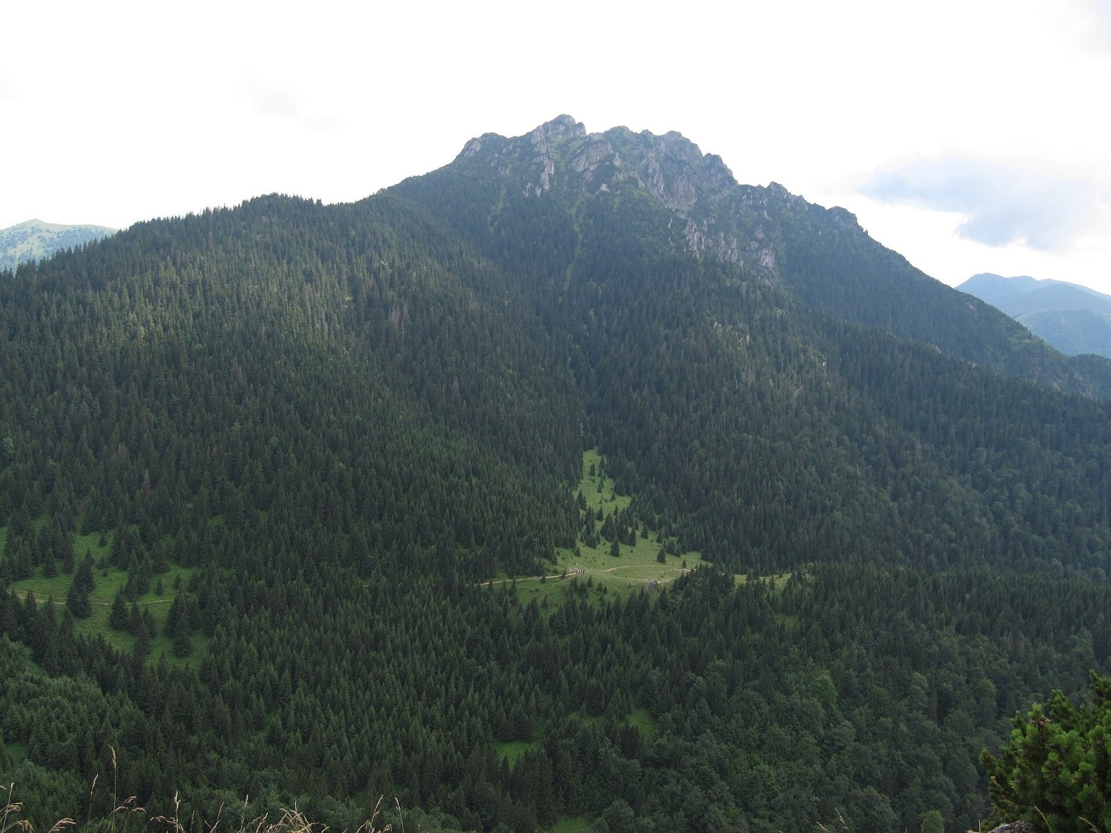
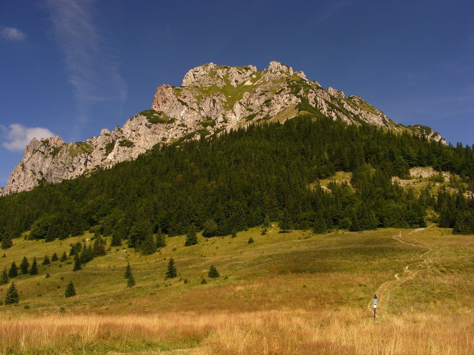
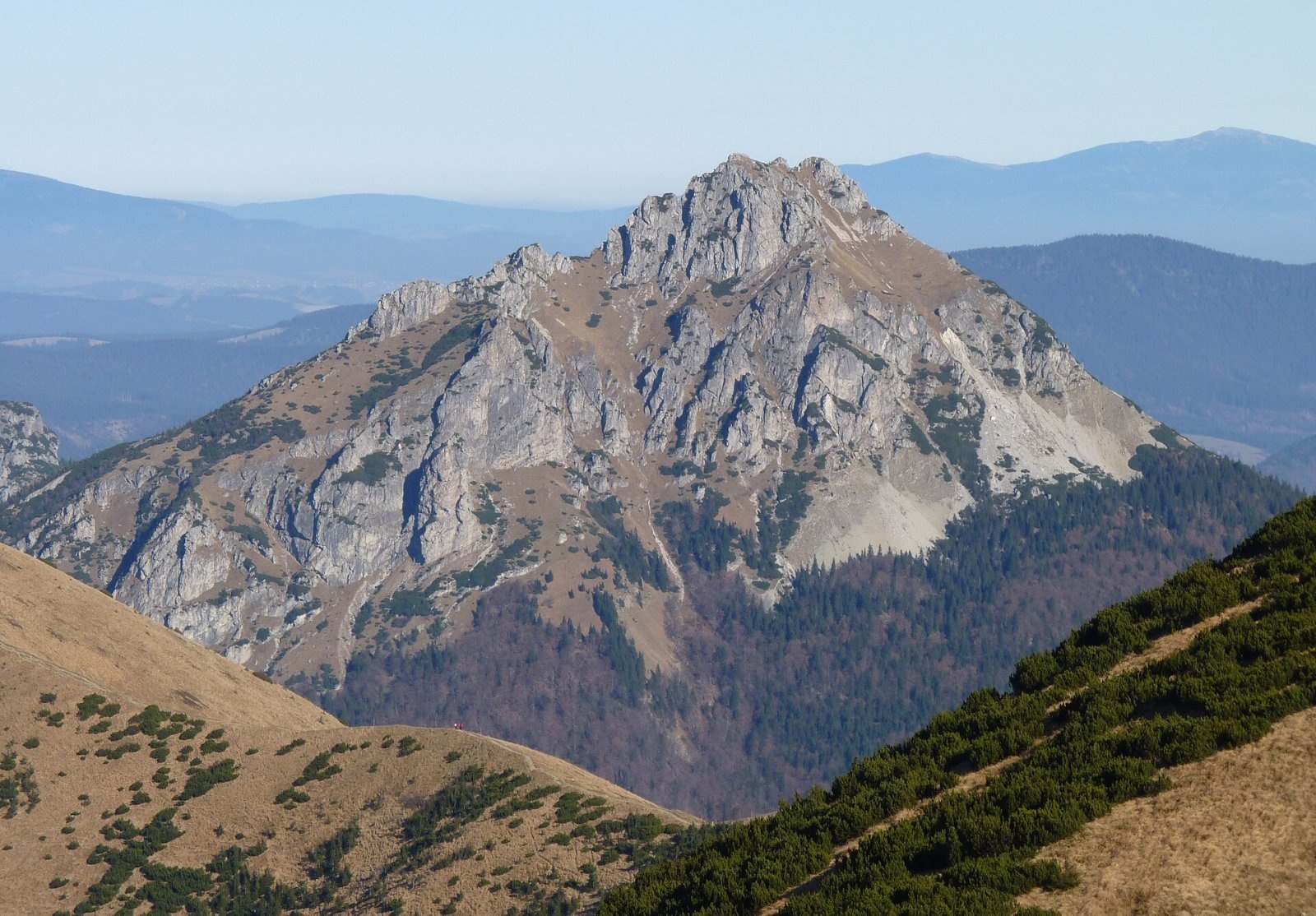
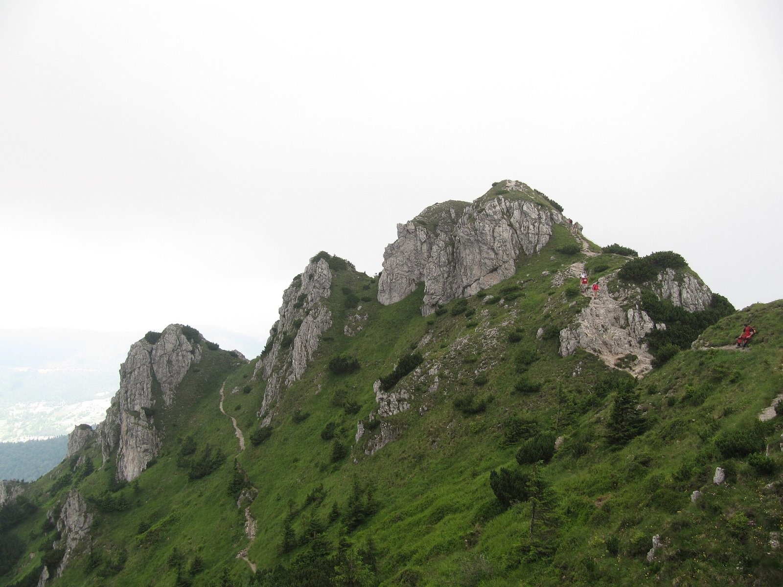
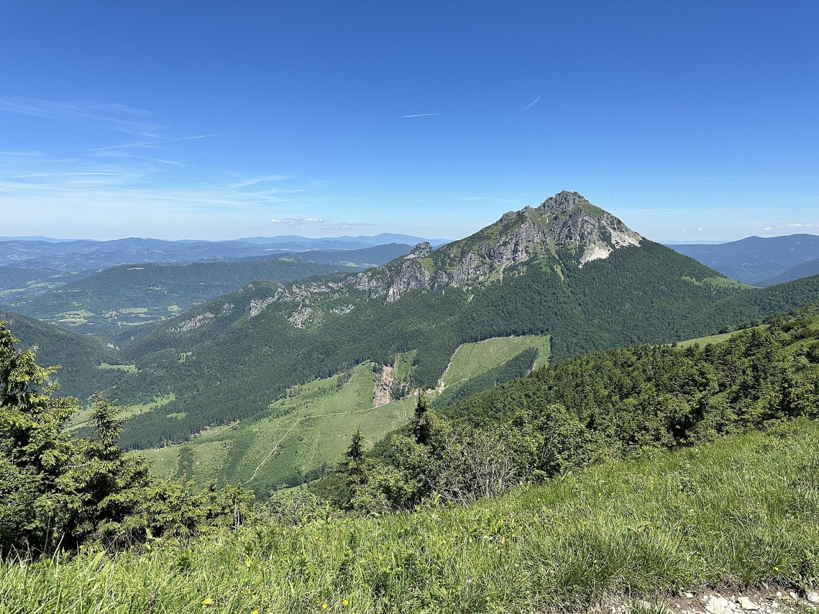
Veľký Rozsutec (Polish Wielki Rozsutec) is a 1,609.8 m summit in the Malá Fatra, the most striking mountain of its Krivánska part and, according to Slovak sources, one of the most beautiful mountains in Slovakia. It stands on the main ridge about 5 km east of Terchová, on the border of Žilina and Dolný Kubín districts in the Žilina Region; its slopes reach the cadastres of Terchová, Párnica and Zázrivá. Rozsutec has become the symbol of the range – its outline is in the logo of the Malá Fatra National Park. It looks most impressive from the hamlet of Štefanová 3 km to the west, the usual starting point for the ascent. A GNSS survey in 2017 refined the height to 1,609.78 m.
The summit forms a three-armed knot. The southern ridge drops steeply to the broad treeless Medziholie saddle (1,185 m), beyond which rises the only slightly lower Stoh (1,607 m); the northern ridge falls to the Medzirozsutce saddle (1,200 m) and Malý Rozsutec (1,343 m). The western ridge ends in a labyrinth of huge rock towers, the so-called Rock Town above Štefanová. The mountain is built of limestones and dolomites of the Choč nappe thrust over the softer rocks of the Krížna nappe – hence the sheer walls (the western one is 160 m high), towers, gorges and scree cones at its foot.
How to get there / routes
The red main-ridge trail crosses the summit from the Medziholie saddle to the Medzirozsutce saddle; this section also carries the European E3 and the Eisenach–Budapest friendship trail. The upper part is protected with chains, and below the top the path climbs rock steps.
- From Štefanová via Medziholie – the easiest and shortest approach (green trail); sources give about 2.5 h for the whole way.
- From Štefanová via Jánošíkove diery – the path climbs through forest to the Lower and then the more spectacular Upper Diery: a stream in a deep gorge, footbridges, ladders and railings; then the Tesná Rizňa gorge and the meadows of Medzirozsutce. Loop: Štefanová – Medzirozsutce (2¼ h) – Veľký Rozsutec (1¼ h) – Medziholie (1 h) – Štefanová (1¼ h).
- From the saddles: Medziholie – summit 1 h 15 min (down 40 min), Medzirozsutce – summit 1 h 20 min (down 45 min).
- Along the ridge from Poludňový grúň (1,460 m) via Stoh – red trail, about 3 h.
- Also from Párnica via Medziholie, from Zázrivá via Medzirozsutce, and the least used yellow trail from the Lučivná ski area.
What you can see from the summit
The rocky top is a superb viewpoint: the view is open in all directions except the south-west, where the higher main ridge of the Malá Fatra stands. In good weather you can see Vtáčnik, the Veľká Fatra, the Low and High Tatras as far as Kriváň, the Choč and Skorušina hills, the Orava Magura, the Orava, Kysuce and Moravian-Silesian Beskids, the Javorníky, the Súľov hills and, to the north, Skrzyczne in the Polish Silesian Beskids.
Nature and history
The whole mountain lies in the Malá Fatra National Park, and most of the massif is taken by the Rozsutec National Nature Reserve, established in 1967 (about 842 ha), with the highest, 5th degree of protection. It is one of the richest botanical sites in Slovakia, with several Slovak endemics. Lower down grow beech forests with spruce, fir and sycamore, higher up rowan, and near the top dwarf pine. On the northern slopes at about 1,450 m the natural upper tree line has survived – the highest in the Malá Fatra. Animals include marmot, chamois and lynx.
The mountain became widely known in 1862, when the physician Karol Brančík published an article about it in a Viennese journal. Old tales spoke of gold around the summit and of Jánošík's hidden treasure. The Chata pod Rozsutcom hut with a ski tow once stood on the Medziholie saddle; it burned down after a technical fault on 17 January 1985 and was never rebuilt – only remains of the foundations are visible.
Safety, season and rules
The red section Medziholie – Veľký Rozsutec – Medzirozsutce is closed every year from 1 March to 15 June for nature protection (the spring closure of the Malá Fatra National Park administration). The ascent requires sure-footed walking on rocky terrain, good fitness and boots with stiff soles; the chained sections are slippery after rain. Stay on the marked trail in the reserve. Mountain Rescue Service HZS: 18 300 (+421 18 300) or 112.
Interesting facts
- The rock towns around Rozsutec are the largest of their kind in Slovakia.
- Some older Polish sources called the mountain Rozsudziec.
Photos: Palickap, CC BY-SA 4.0; maczopikczu, CC BY 3.0; Michal Klajban, CC BY-SA 3.0; Palickap, CC BY-SA 4.0; Punteador, CC BY-SA 4.0 — Wikimedia Commons.
Getting there from Ukraine
Border crossings
- Uzhhorod – Vyšné Nemecké — road, 24/7
- Malyi Bereznyi – Ubľa — road, 24/7 For cars and buses; pedestrians not confirmed by the Ukrainian border service, lorries up to 3.5 t.
- Mali Selmentsi – Veľké Slemence (pedestrian) — pedestrian, 09:00–21:00 Kyiv time Pedestrians and cyclists only; inconvenient for the Tatras without onward transport.
- Chop – Čierna nad Tisou (rail) — rail, 24/7
By car
From Uzhhorod ≈275 km, ≈3 h 35 min without queues: Uzhhorod – Vyšné Nemecké → I/19 to Košice → D1 motorway via Prešov, Poprad and Liptovský Mikuláš to Ružomberok (≈270 km, ≈3 h 25 min from the border). From Lviv it is faster through Poland: M-10 → Krakovets – Korczowa → A4 to Kraków → S7/DK7 to the Chyżne – Trstená border → R3 and I/59 via Dolný Kubín to Ružomberok: ≈482 km, ≈6 h 15 min (via Uzhok and Ubľa ≈500 km, ≈7 h 30 min). The D1 requires an e-vignette (eznamka.sk).
Checked 23.10.2026; border crossing hours and timetables change — check before you travel.
Location on the map
Water and shelter nearby
- Spring below Veľký Rozsutec (south-east slope), 1 275 m590 m · Not verified · 1 275 m
- Spring below Veľký Rozsutec (south slope)750 m · Not verified · 1 158 m
- Spring below Veľký Rozsutec (south-east slope), 1 140 m870 m · Not verified · 1 140 m
- Spring below Veľký Rozsutec (south-east slope), 1 176 m950 m · Not verified · 1 176 m
- Spring below Veľký Rozsutec (south-east slope), 1 169 m1 km · Not verified · 1 169 m
- Spring below Veľký Rozsutec (south-east slope), 1 086 m1 km · Not verified · 1 086 m
- Hlboký potok Captured Spring, 1 124 m1 km · Not verified · 1 124 m
- Spring below Veľký Rozsutec (south-east slope), 1 182 m1.1 km · Not verified · 1 182 m
- Spring below Malý Rozsutec1.4 km · Not verified · 1 182 m
- Spring below Ostré (west slope), 941 m1.4 km · Not verified · 941 m
- Spring below Ostré (north-west slope), 862 m1.6 km · Not verified · 862 m
- Spring below Ostré (north-west slope), 855 m1.6 km · Not verified · 855 m
- Spring below Boboty (east slope), 724 m2.1 km · Not verified · 724 m
- Spring below Boboty (east slope), 696 m2.4 km · Not verified · 696 m
- Spring below Boboty (east slope), 709 m2.5 km · Not verified · 709 m
- Drinking water below Malý Rozsutec2.6 km · Not verified · 797 m
Comments
Trails nearby
All trails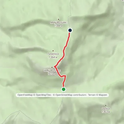 EasyOne-dayMarkedMedziholie MedzirozsutceElevation profile1 184–1 592 m2.6 kmascent 408 m≈ 1.5 h walkingunder 1 km from Veľký Rozsutec
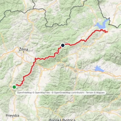 HardMulti-dayMarkedKľak TrstenáElevation profile354–1 671 m119.6 kmascent 7 571 munder 1 km from Veľký Rozsutec
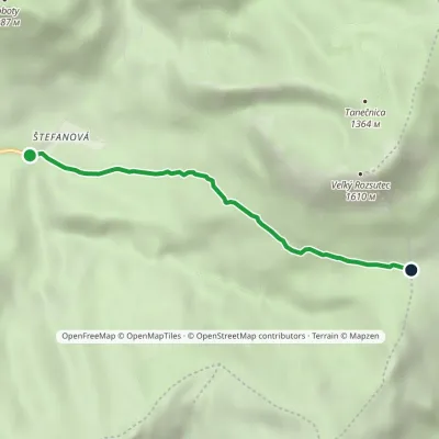 EasyOne-dayMarkedŠtefanová Saddle MedziholieElevation profile631–1 184 m3.4 kmascent 553 m≈ 2 h walkingunder 1 km from Veľký Rozsutec
Nearby attractions
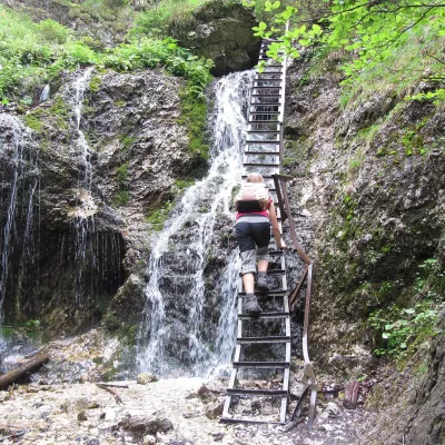 NatureJánošík's Holes (Jánošíkove diery)Terchová2.8 km from Veľký RozsutecJánošíkove diery (Jánošík’s Holes), or simply Diery, is a system of narrow gorges and canyons in the Krivánska Malá Fatra near the village of Terchová, birthplace of...
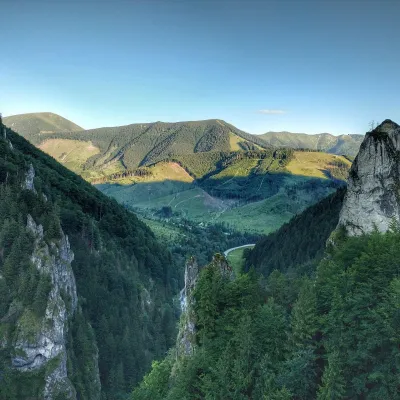 NatureVrátna ValleyTerchová4.8 km from Veľký RozsutecVrátna dolina, or simply Vrátna, is a valley in the Krivánska Malá Fatra and the largest centre of summer and winter tourism in these mountains.
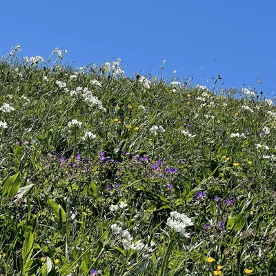 Mountain meadowThe hole of Malá Fatra: Chleb, Snilovské sedlo and HromovéŠútovoaltitude 1 647 m5.9 km from Veľký RozsutecThe hole of Malá Fatra are the treeless grassy ridges in the highest, Kriváň part of the range (Krivánska Malá Fatra) in northern Slovakia, above the Vrátna valley and...
Craft nearby
All craft places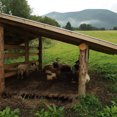 Cheese dairies & pasturesSalaš Syrex in Zázrivá — Home of the Zázrivá Korbáčik CheeseZázrivá3.7 km from Veľký RozsutecZázrivá is a scattered mountain village on the border of Orava and the Malá Fatra, famous throughout Slovakia for its korbáčiky: thin strings of steamed cheese braided...
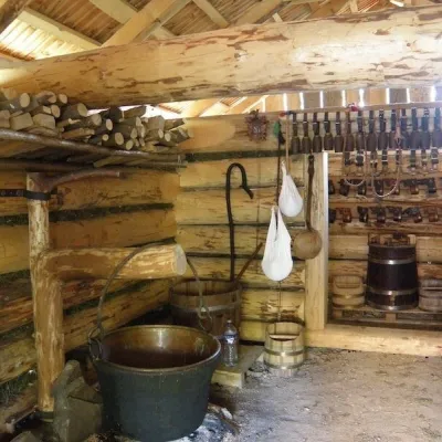 Cheese dairies & pasturesSalaš Krajinka near RužomberokRužomberok17 km from Veľký RozsutecSalaš Krajinka is a genuine sheep farm on the edge of Ružomberok in lower Liptov. It was founded in 1983 to keep a thousand sheep, and the owners have deliberately...
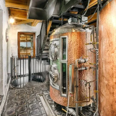 Craft beer & breweriesURSUS craft brewery, Čutkovská valleyRužomberok20 km from Veľký RozsutecURSUS craft brewery (Remeselný pivovar URSUS) is the first brewery of the town of Ružomberok, tucked away in the picturesque Čutkovská valley in lower Liptov.
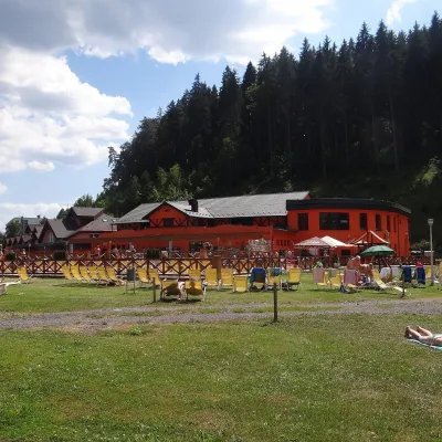 Water parks & thermal poolsLúčky Spa and AQUA-VITAL ParkLúčky24 km from Veľký RozsutecLúčky Spa (Kúpele Lúčky) lies in a quiet valley beneath the Choč Mountains, in the village of Lúčky near Ružomberok.
 Water parks & thermal poolsBešeňová Water ParkBešeňová29 km from Veľký RozsutecBešeňová — the "thermal heart of Liptov" Bešeňová Water Park (Vodný park Bešeňová) lies on the edge of the village of the same name in the western part of the Liptov...
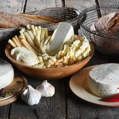 Cheese dairies & pasturesFarma Brezany near Žilina: hand-stretched cheese and a distilleryBrezany31 km from Veľký RozsutecBrezany is a village a few kilometres south of Žilina, on the edge of the Žilina basin and the foothills leading towards the Rajec valley and the Strážov Hills.
