Spring
Spring below Veľký Rozsutec (south-east slope), 1 182 m
Slovakia · Lesser Fatra range · 1 182 m
Condition
Not verifiedNo recent reports. Carry water and, if you pass by, tell us what you saw.
Last edited on the OSM map 25.11.2021
- 1 182 m
- Dries out in summer or drought
- Marked as drinkable
About
Lesser Fatra range, about 1 180 m above sea level. 6 of the site’s trails pass nearby, including “Biely Potok – Párnica”.
This spring dries out in summer or in dry years, so do not rely on it as your only water. The water is marked as drinkable on the map, but nobody guarantees its quality.
On the map
Coordinates: 49.22325, 19.10601
How to get there
Trails nearby
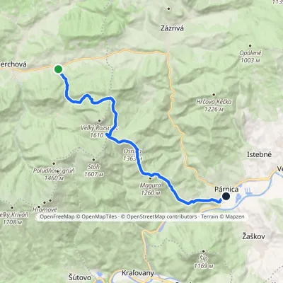 ModerateTwo-dayMarkedBiely Potok PárnicaElevation profile454–1 363 m17.3 kmascent 957 m≈ 6 h walking
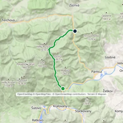 ModerateOne-dayMarkedDolina Bystrička, mouth Zázrivá, BielaElevation profile446–1 161 m11.4 kmascent 718 m≈ 4.5 h walking
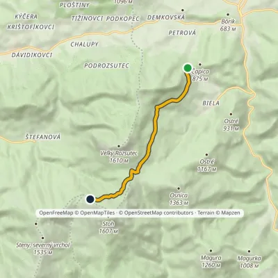 EasyOne-dayMarkedPríslop nad Bielou Chrbát StohuElevation profile818–1 349 m6.2 kmascent 531 m≈ 2.5 h walking
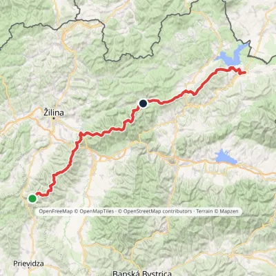 HardMulti-dayMarkedKľak TrstenáElevation profile354–1 671 m119.6 kmascent 7 571 m
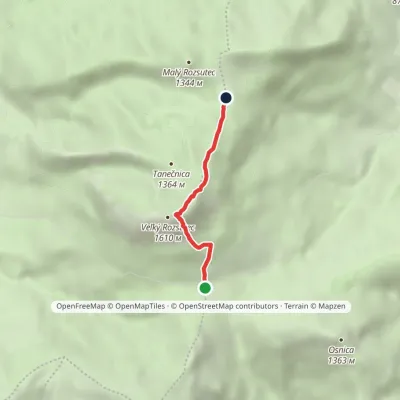 EasyOne-dayMarkedMedziholie MedzirozsutceElevation profile1 184–1 592 m2.6 kmascent 408 m≈ 1.5 h walking
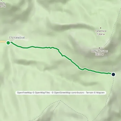 EasyOne-dayMarkedŠtefanová Saddle MedziholieElevation profile631–1 184 m3.4 kmascent 553 m≈ 2 h walking
Report the condition
Been here recently? Tell us what you saw and add photos — your report appears on the page right away with today’s date.
No photos yet — send yours together with a condition report.
