Žilina District
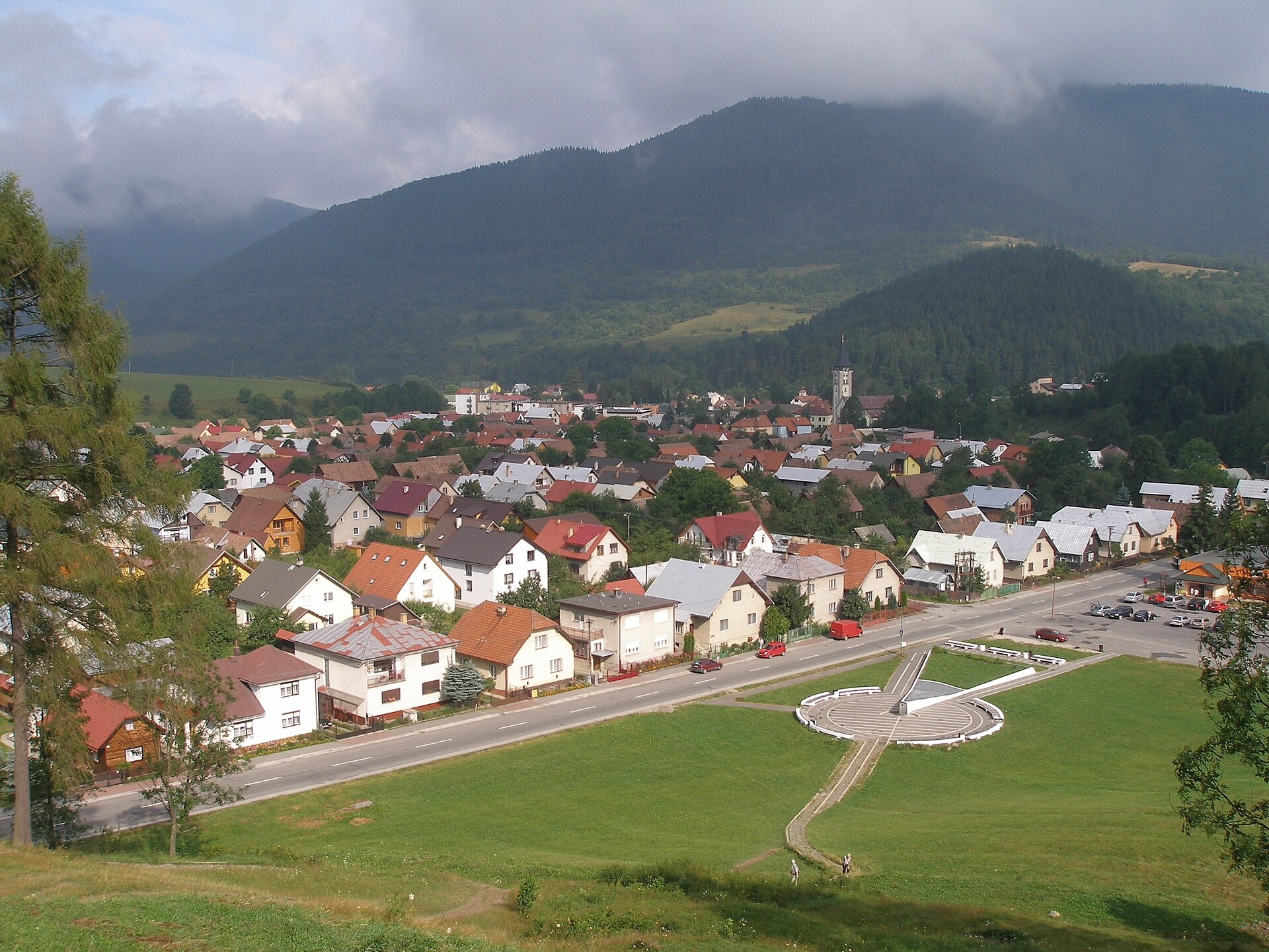
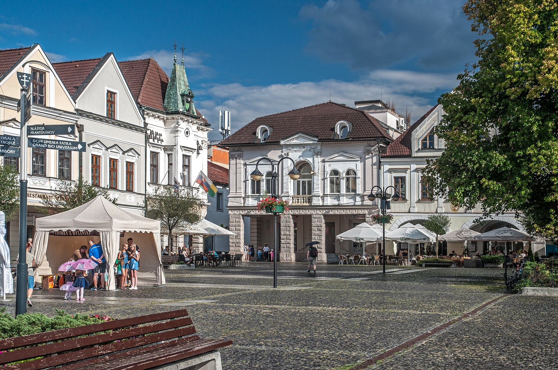
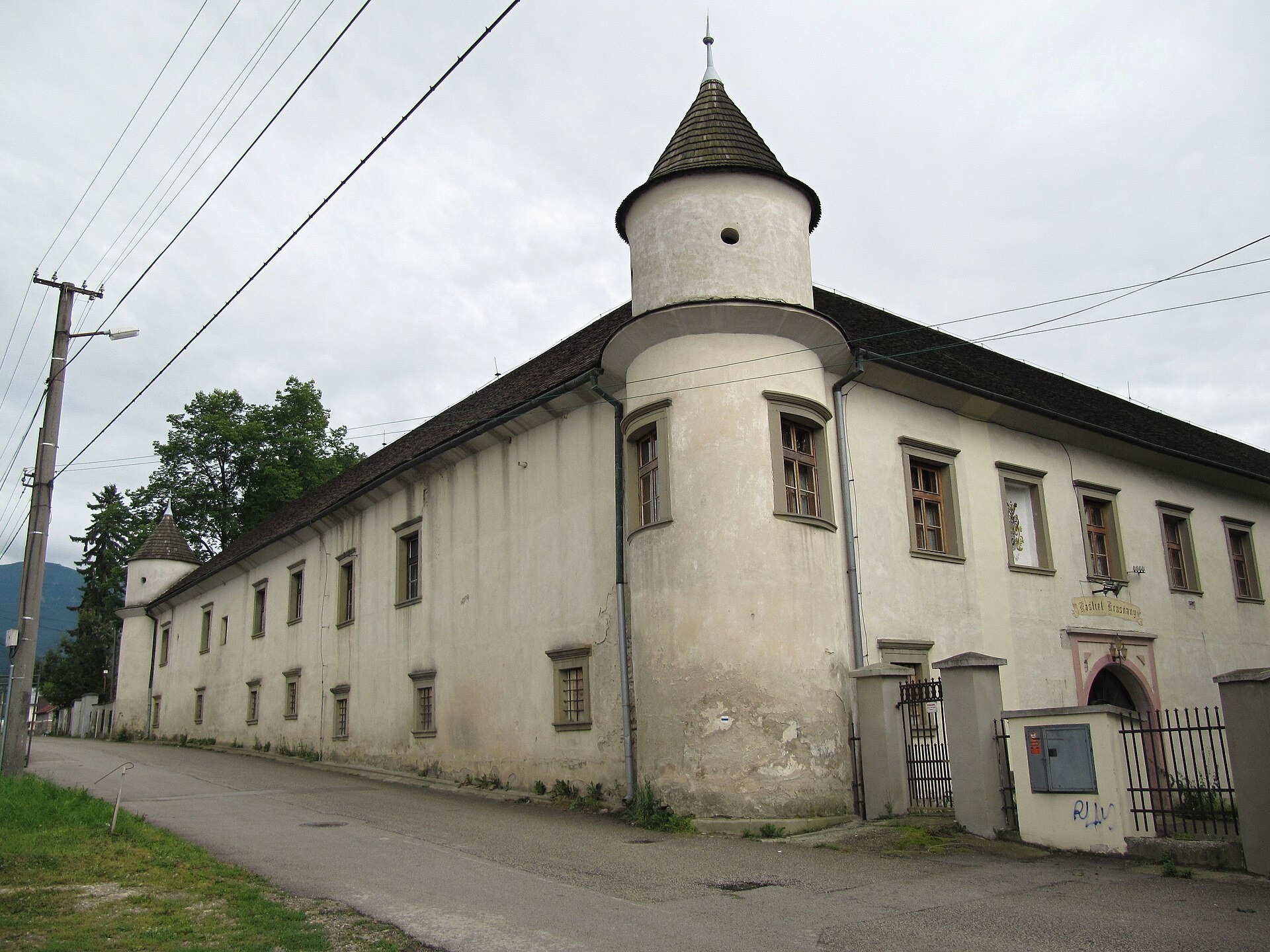
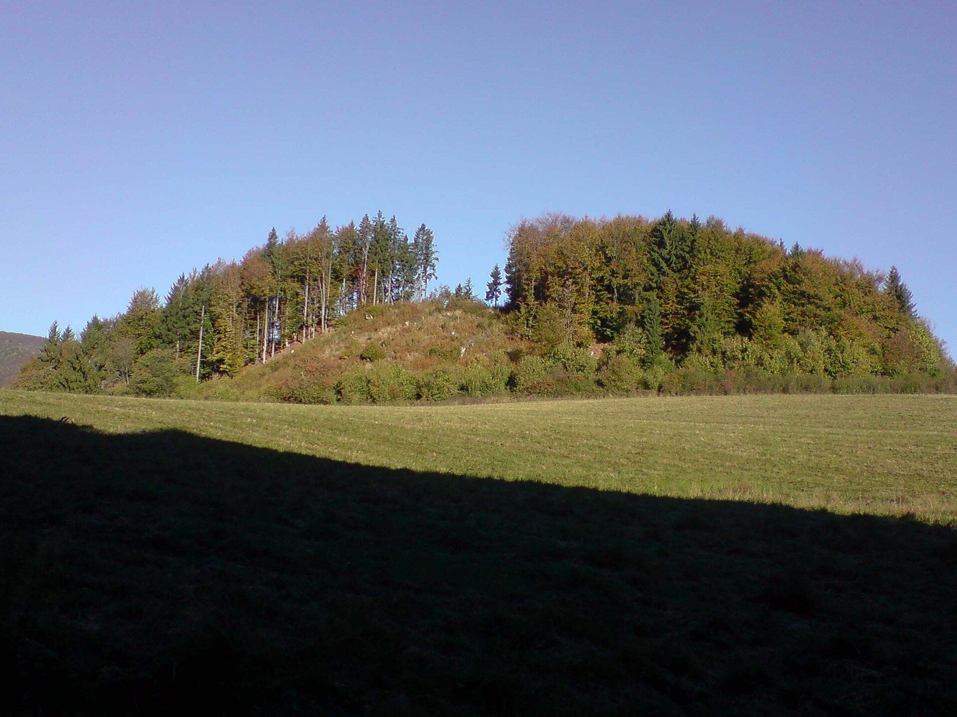
Photos: Terchová (Jozef Kotulič, CC BY-SA 3.0); Žilina (Sebastian Mierzwa, CC BY-SA 4.0); Krasňany (Palickap, CC BY 3.0); Čičmany (Branik P, CC BY-SA 3.0); Brezany (Michal Jakubský, CC BY 3.0)
Žilina District is an administrative district in the Žilina region of Slovakia. Its centre is the city of Žilina, which is also the regional capital. The district lies in the Váh river lowland at the foothills of the Western Carpathians, forming the northernmost part of the region and bordering Poland. The district was first established in 1918, with its current borders set in the mid-20th century. It includes 3 towns — Žilina, Rajec, and Rajecké Teplice — and 50 villages.
The area features foothills and mountain ranges such as Javorníky, Malá Fatra (including Krivánska Fatra), Veľká Fatra, Oravská Magura, Chočské vrchy, Žilina and Raková hills, and Lučanská Fatra. Natural attractions include the Jánošíkove diery gorge, the Vojenné massif, peaks like Kľak and Veľký Rozsutec, and the Žilina reservoir on the Váh river.
karpaty.rocks offers over 70 trails here, such as Domaniža – Kľak, Súľov – Rajecké Teplice, Rajecké Teplice – Lietava Castle, and Turie – Minčol. The most objects are in Terchová, Rajecké Teplice, Žilina, Belá, and Nezbudská Lúčka. Highlights include Jánošíkove diery, Strečno Castle, Budatín Castle, the museum in Čičmany, Brezany farm, Spa Aphrodite thermal pools, and shelters such as Pod Suchým and Vrátna.
Getting there from Ukraine
From Uzhhorod to Žilina ≈330 km, ≈4 h 20 min without queues: Uzhhorod – Vyšné Nemecké → I/19 to Košice → D1 via Prešov, Poprad, Liptovský Mikuláš and Ružomberok (≈17 km on I/18 between D1 sections) → Žilina. To Terchová ≈314 km, ≈4 h 15 min: from the D1 onto I/70 and II/583. From Lviv through Poland: M-10 → Krakovets – Korczowa → A4 to Kraków → S7/DK7 to Chyżne – Trstená → R3, I/59 to Dolný Kubín → II/583 via Terchová to Žilina: to Terchová ≈493 km (≈6 h 30 min), to Žilina ≈518 km (≈7 h). Via the tolled A4 Kraków – Katowice, S1 and D3: ≈533 km, ≈6 h 35 min. The D1 requires an e-vignette (eznamka.sk).
Sources: Wikipedia, Wikidata, OpenStreetMap, Karpaty.rocks data.
Towns and villages
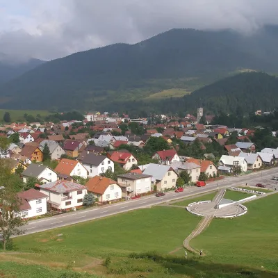 Terchová22 trails, 2 peaks, 3 sights
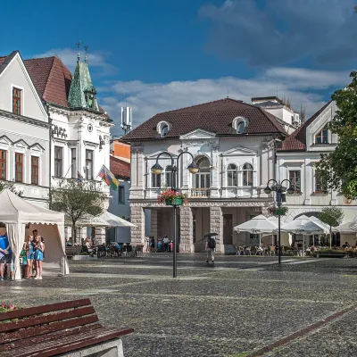 Žilina6 trails, 1 peak, 1 sight
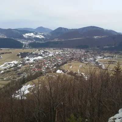 Belá7 trails
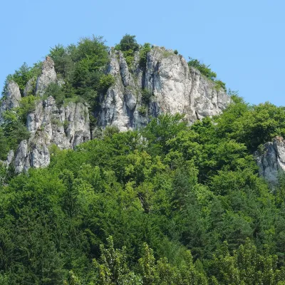 Rajecké Teplice6 trails, 1 spa or thermal pool
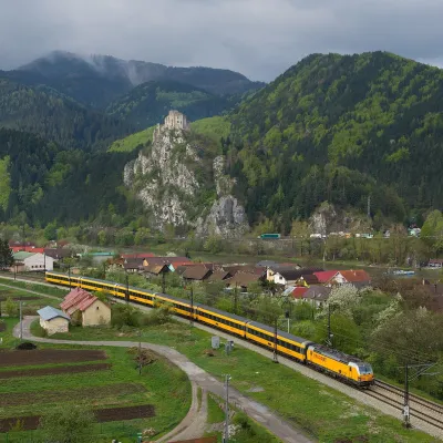 Nezbudská Lúčka5 trails, 1 sight, 1 mountain hut or shelter
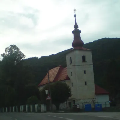 Fačkov5 trails
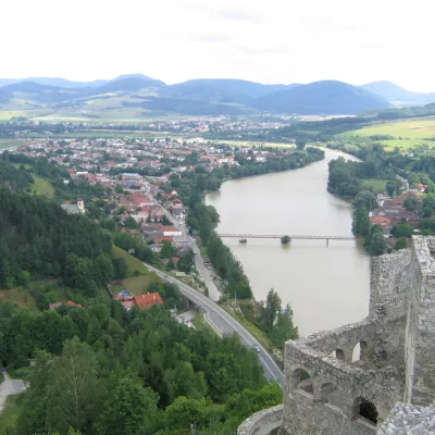 Strečno3 trails, 1 sight
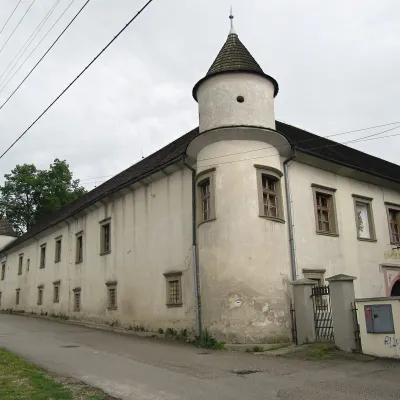 Krasňany2 trails, 2 peaks
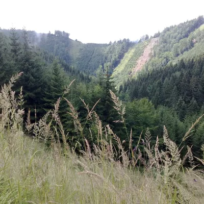 Kunerad4 trails
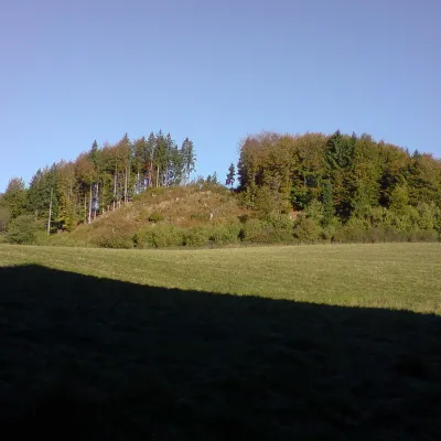 Čičmany3 trails, 1 sight
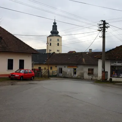 Varín3 trails
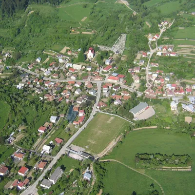 Divina3 trails
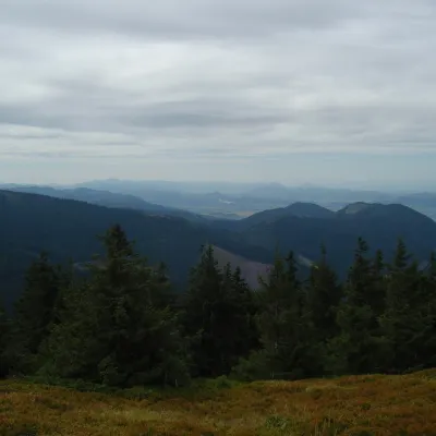 Turie3 trails
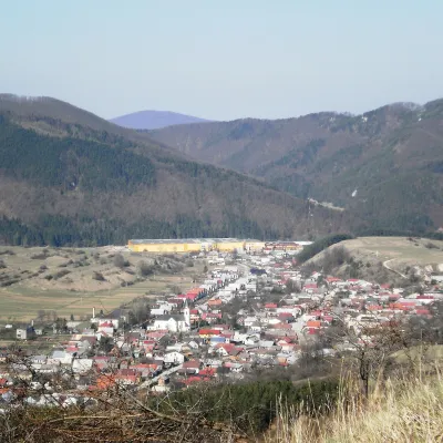 Rajecká Lesná3 trails
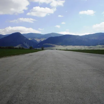 Višňové1 trail, 1 peak
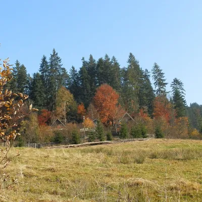 Dlhé Pole2 trails
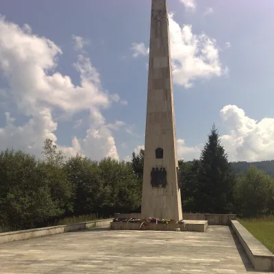 Stráňavy2 trails
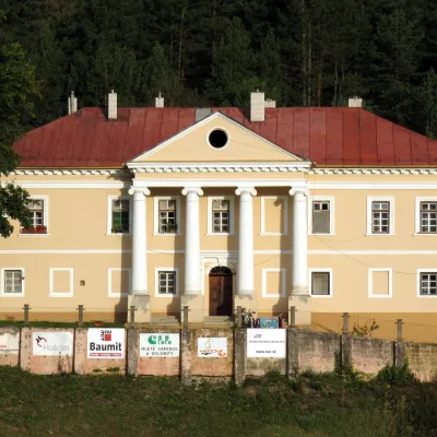 Lietavská Lúčka2 trails
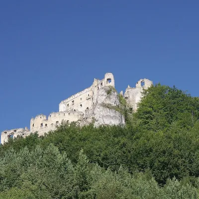 Lietava2 trails
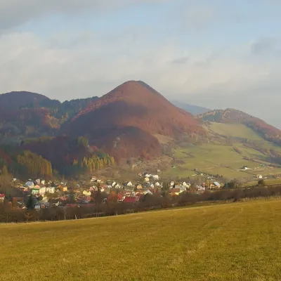 Lysica2 trails
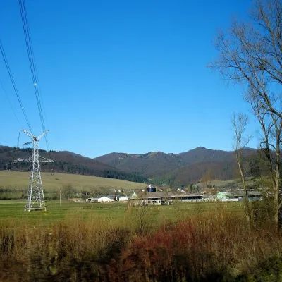 Jasenové2 trails
 Teplička nad Váhom1 trail
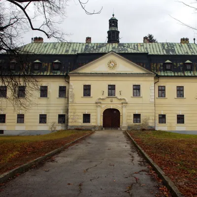 Gbeľany1 trail
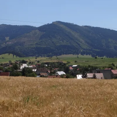 Dolná Tižina1 trail
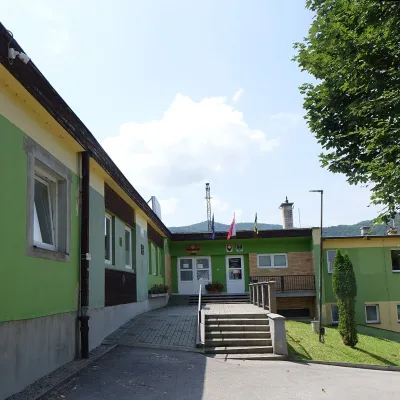 Podhorie1 trail
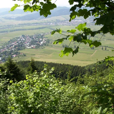 Ďurčiná1 trail
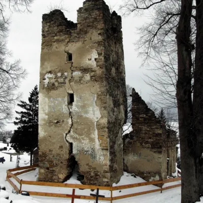 Stránske1 trail
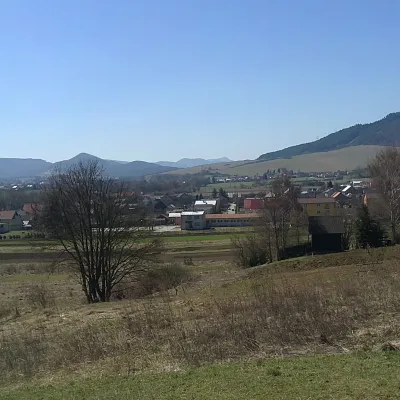 Zbyňov1 trail
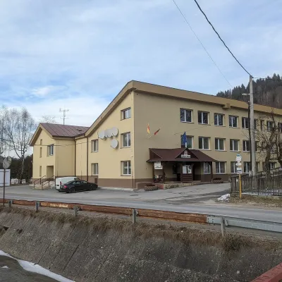 Lutiše1 trail
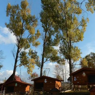 Brezany1 craft place
Getting there from Ukraine
Border crossings
- Uzhhorod – Vyšné Nemecké — road, 24/7
- Malyi Bereznyi – Ubľa — road, 24/7 For cars and buses; pedestrians not confirmed by the Ukrainian border service, lorries up to 3.5 t.
- Mali Selmentsi – Veľké Slemence (pedestrian) — pedestrian, 09:00–21:00 Kyiv time Pedestrians and cyclists only; inconvenient for the Tatras without onward transport.
- Chop – Čierna nad Tisou (rail) — rail, 24/7
By car
From Uzhhorod to Žilina ≈330 km, ≈4 h 20 min without queues: Uzhhorod – Vyšné Nemecké → I/19 to Košice → D1 via Prešov, Poprad, Liptovský Mikuláš and Ružomberok (≈17 km on I/18 between D1 sections) → Žilina. To Terchová ≈314 km, ≈4 h 15 min: from the D1 onto I/70 and II/583. From Lviv through Poland: M-10 → Krakovets – Korczowa → A4 to Kraków → S7/DK7 to Chyżne – Trstená → R3, I/59 to Dolný Kubín → II/583 via Terchová to Žilina: to Terchová ≈493 km (≈6 h 30 min), to Žilina ≈518 km (≈7 h). Via the tolled A4 Kraków – Katowice, S1 and D3: ≈533 km, ≈6 h 35 min. The D1 requires an e-vignette (eznamka.sk).
Checked 23.10.2026; border crossing hours and timetables change — check before you travel.
