Fačkov
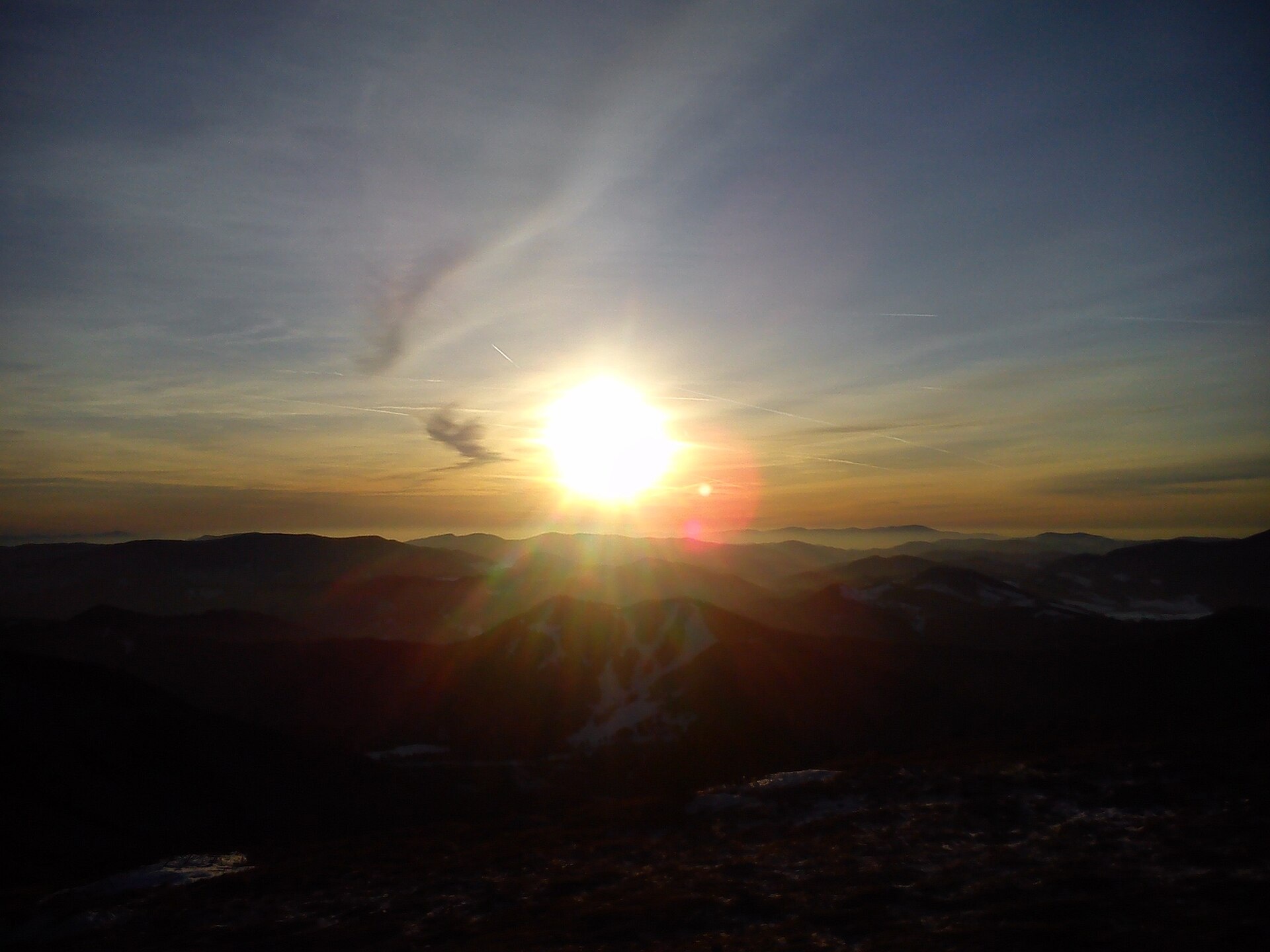
Photos: Pe3kZA, CC BY-SA 3.0 (Wikimedia Commons); Palickap, CC BY 4.0 (Wikimedia Commons); Michal Jakubský, CC BY 3.0 (Wikimedia Commons); Martin Mrmus, CC BY-SA 3.0 (Wikimedia Commons); mrnino, CC BY 3.0 (Wikimedia Commons); mrnino, CC BY 3.0 (Wikimedia Commons)
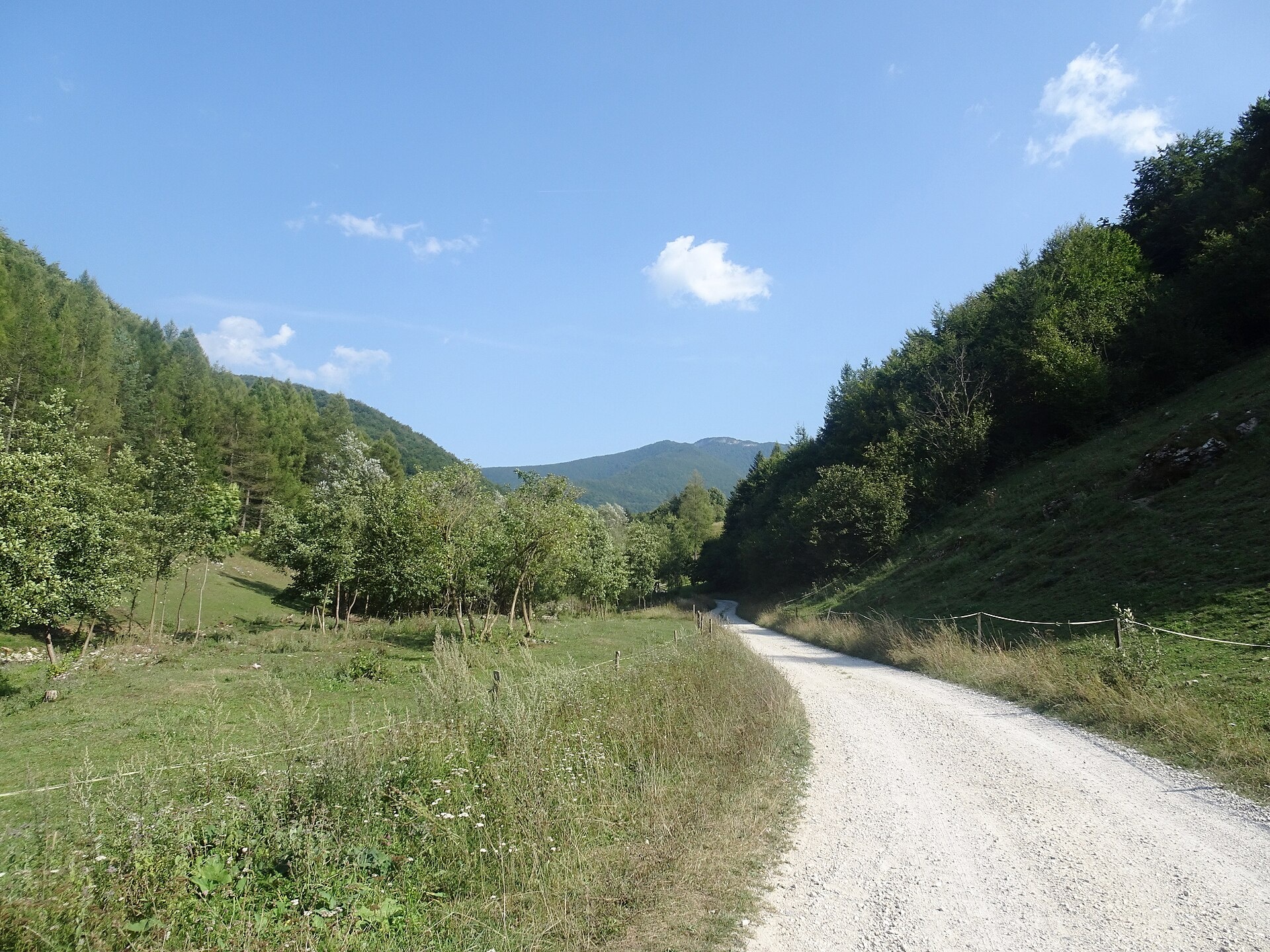
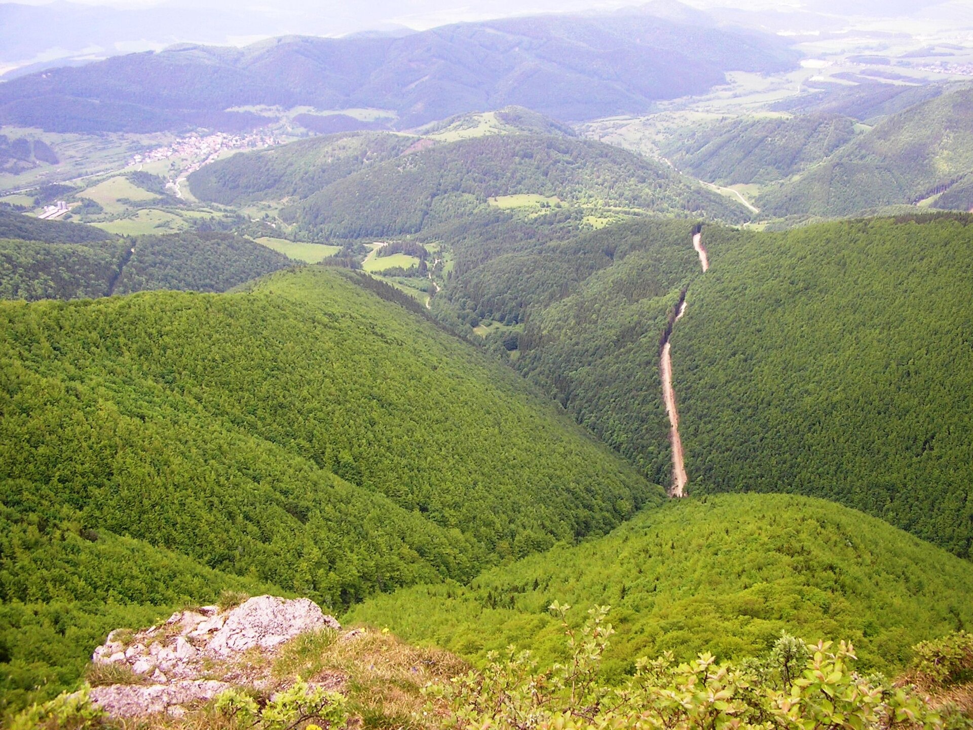
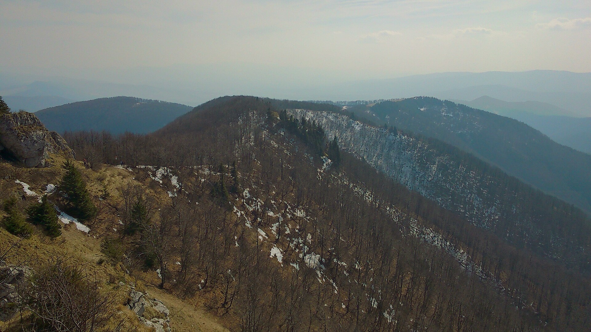
Fačkov is a village in the Žilina District, Žilina region, Slovakia, located in the Rajec Basin at an elevation of 536 metres. The village lies in the valley of the Rajčanka river, surrounded to the west by the Strážov Mountains and to the east by the Lesser Fatra range. The cadastral area of the municipality is 37.52 km².
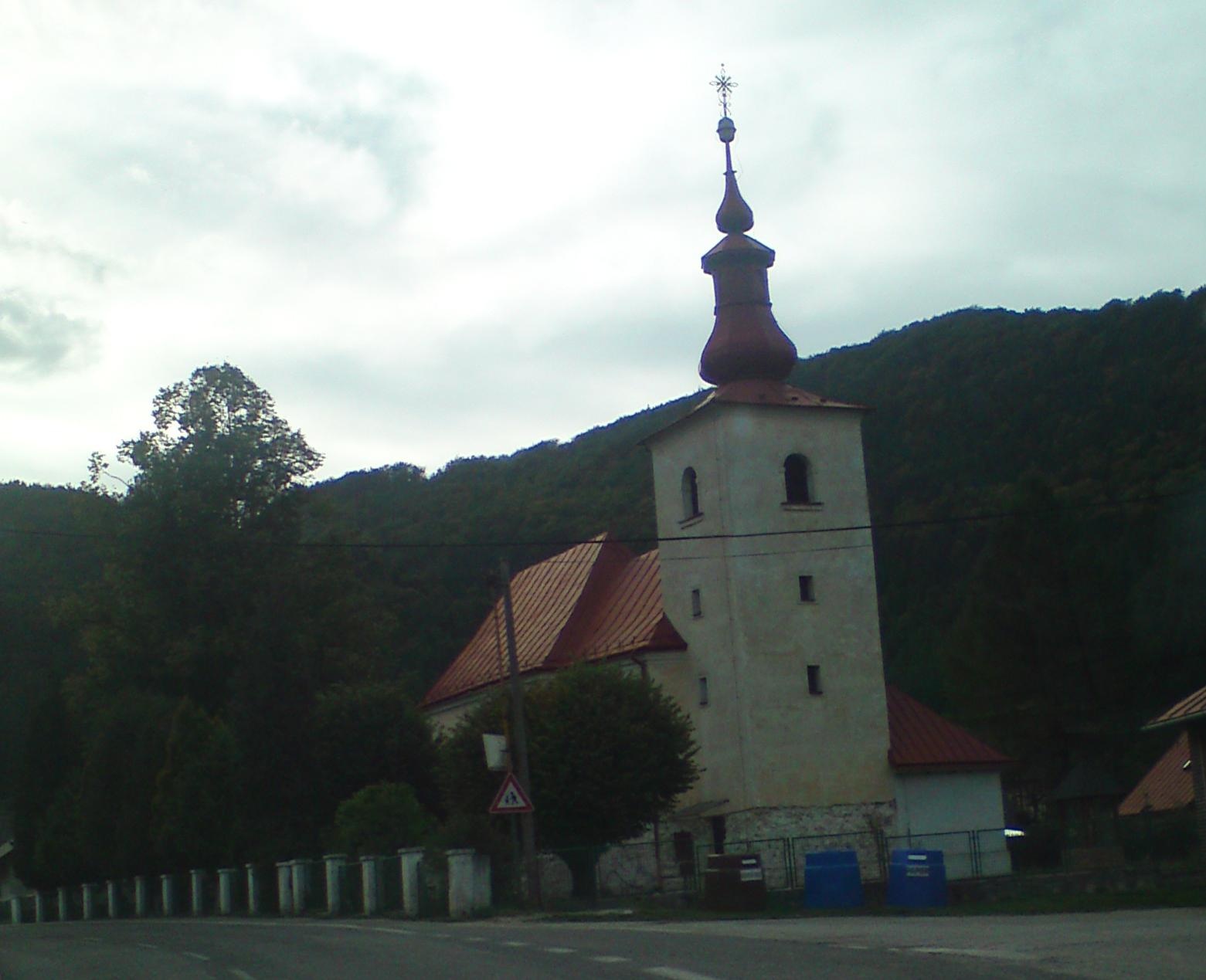
The first written mention of Fačkov dates back to 1351. The name comes from the first hereditary mayor, Fachkó. The village belonged to the Považ manor, with part of the farm owned by zemans. The Baroque Church of St. Nicholas was built here in 1761 and has undergone several reconstructions. During the Slovak National Uprising, partisans were active in the area.
Fačkov is known for its picturesque mountain scenery, proximity to the Lesser Fatra massif, and traditions of cattle breeding. The village retains a rural atmosphere, and the surrounding forests and meadows attract nature lovers. Local crafts and the production of sheep bryndza cheese are also present in the region.
For visitors, Fačkov is an excellent starting point for hiking. Nearby mountain trails include Domaniža – Kľak, Pružina, garages – Lazový vrch, the educational trail Stratěný Budzogáň, and Kľak – Čičmanské crossroads. You can also visit Salaš Pružina, known for 100% sheep bryndza, and the Radenov House museum of painted log houses in Čičmany.
Getting there from Ukraine
From Uzhhorod to Žilina ≈330 km, ≈4 h 20 min without queues: Uzhhorod – Vyšné Nemecké → I/19 to Košice → D1 via Prešov, Poprad, Liptovský Mikuláš and Ružomberok (≈17 km on I/18 between D1 sections) → Žilina. To Terchová ≈314 km, ≈4 h 15 min: from the D1 onto I/70 and II/583. From Lviv through Poland: M-10 → Krakovets – Korczowa → A4 to Kraków → S7/DK7 to Chyżne – Trstená → R3, I/59 to Dolný Kubín → II/583 via Terchová to Žilina: to Terchová ≈493 km (≈6 h 30 min), to Žilina ≈518 km (≈7 h). Via the tolled A4 Kraków – Katowice, S1 and D3: ≈533 km, ≈6 h 35 min. The D1 requires an e-vignette (eznamka.sk).
Sources: Wikipedia, Wikidata, OpenStreetMap, Karpaty.rocks data. More on Wikipedia
Trails nearby
All trails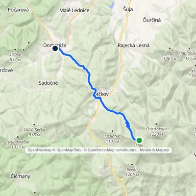 ModerateOne-dayMarkedDomaniža KľakElevation profile372–1 351 m12.6 kmascent 262 m≈ 3.5 h walkingunder 1 km from the centre
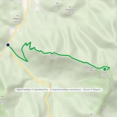 EasyOne-dayMarkedKľak Čičmianske junctionElevation profile559–1 351 m6.9 kmascent 60 m≈ 2 h walking2.2 km from the centre
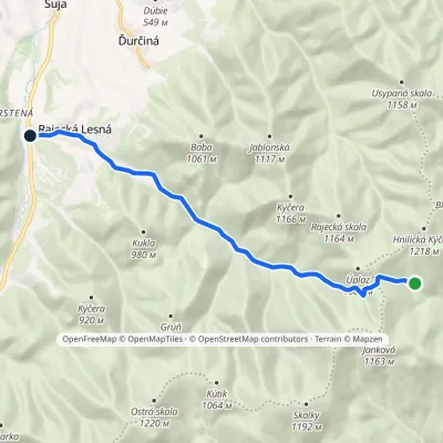 EasyOne-dayMarkedRajecká Lesná, junction ZrazElevation profile499–1 004 m10.3 kmascent 199 m≈ 3 h walking4 km from the centre
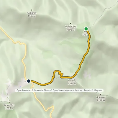 EasyOne-dayMarkedChodník Zoltána KissaElevation profile797–1 351 m4.6 kmascent 20 m≈ 1 h walking4.4 km from the centre
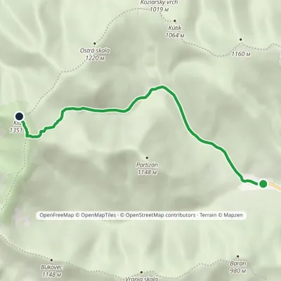 EasyOne-dayMarkedVrícko KľakElevation profile599–1 351 m5.8 kmascent 753 m≈ 3 h walking4.4 km from the centre
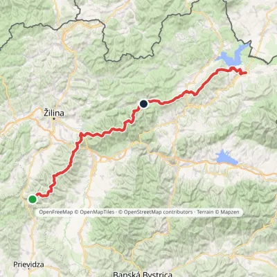 HardMulti-dayMarkedKľak TrstenáElevation profile354–1 668 m119.6 kmascent 7 565 m4.4 km from the centre
Peaks nearby
All peaks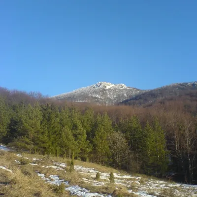 PeakStrážovZliechovaltitude 1 213 m12 km from the centreStrážov (Hungarian Sztrázsó) is the highest summit of the Strážov Mountains, 1213.3 m high (local signs often say 1215 m).
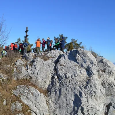 PeakVyšehradJasenovoaltitude 829 m17 km from the centreVyšehrad (Polish Wyszogród) is a prominent summit 829 m high on the main ridge of the Žiar Mountains in central Slovakia.
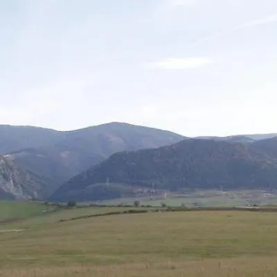 PeakMinčol (Lesser Fatra)Višňovéaltitude 1 364 m21 km from the centre1 trail to the topMinčol is a massive 1364 m mountain on the main ridge of the Lúčanská Fatra, part of the Lesser Fatra (Malá Fatra) in Slovakia.
What to visit
All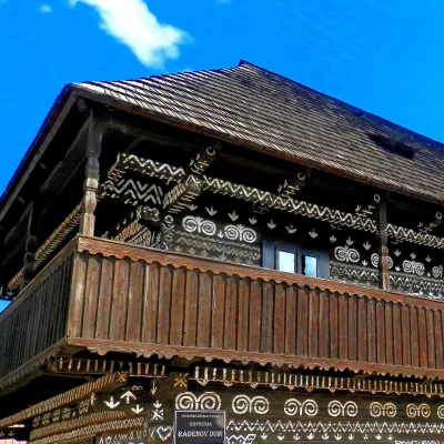 MuseumRaden's House in Čičmany — Museum of the Painted Log HousesČičmany8.6 km from the centreČičmany is a mountain village in a basin of the Strážov Hills, close to the source of the Rajčanka river, and the highest-lying village in Žilina District.
 Cheese dairies & pasturesSalaš Pružina: 100% sheep’s bryndza in the Strážov HillsPružina9 km from the centrePružina is a village in a picturesque valley of the Strážov Hills (Strážovské vrchy) west of Považská Bystrica.
 Water parks & thermal poolsSpa Aphrodite thermal pools, Rajecké TepliceRajecké Teplice14 km from the centreHot mineral water rises here, and it feeds the Spa Aphrodite resort, whose thermal pools, saunas and Natural Spa zone are open not only to patients but to anyone with...
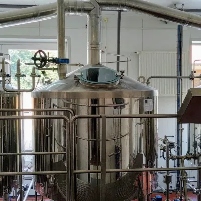 Craft beer & breweriesGalgenberg brewery in Nitrianske Pravno: tour and beer from the tankNitrianske Pravno16 km from the centreNitrianske Pravno is a large village at the northern end of the Upper Nitra basin, 12 km from Prievidza, where the river Nitra leaves the Malá Magura and Žiar hills.
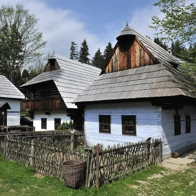 MuseumMuseum of the Slovak Village, MartinMartin24 km from the centreThe Museum of the Slovak Village (Múzeum slovenskej dediny) is the largest ethnographic open-air exhibition in Slovakia.
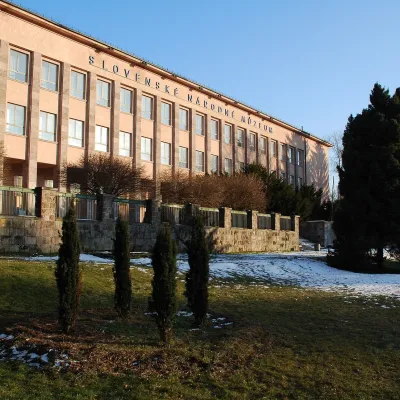 MuseumEthnographic Museum of the Slovak National Museum, MartinMartin25 km from the centreThe Ethnographic Museum of the Slovak National Museum in Martin (SNM – Etnografické múzeum) is the main building of SNM – Museums in Martin and holds the most complete...
Craft nearby
All craft places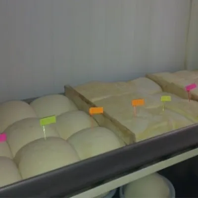 Cheese dairies & pasturesSalaš Orlové near Považská Bystrica: cheese, bryndza, žinčicaPovažská Bystrica19 km from the centreOrlové is a part of the town of Považská Bystrica on the left bank of the Váh, at the foot of hills that rise into the Strážov Hills.
 Cheese dairies & pasturesFarma Brezany near Žilina: hand-stretched cheese and a distilleryBrezany21 km from the centreBrezany is a village a few kilometres south of Žilina, on the edge of the Žilina basin and the foothills leading towards the Rajec valley and the Strážov Hills.
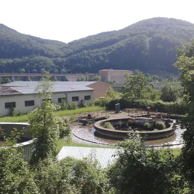 Water parks & thermal poolsNimnica: a mineral-water spa above the Nosice reservoirNimnica21 km from the centreNimnica is one of Slovakia's youngest spas, in the Váh valley between Púchov and Považská Bystrica. Its spa houses stand at about 300 m on a wooded spur of the...
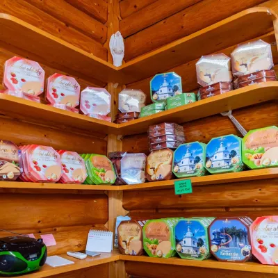 Cheese dairies & pasturesTuriec bryndza dairy, Turčianske Teplice: bryndza since 1917Turčianske Teplice25 km from the centreMore than a hundred years of Turiec bryndza Turiec is a wide basin between the ridges of the Veľká and Malá Fatra, a land of pastures and old sheep farming.
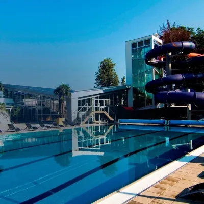 Water parks & thermal poolsSpa & Aquapark Turčianske TepliceTurčianske Teplice25 km from the centreTurčianske Teplice is one of Slovakia’s oldest spa towns. Its warm springs were first mentioned in 1281 in a deed of gift by King Ladislaus IV, and from 1533 they...
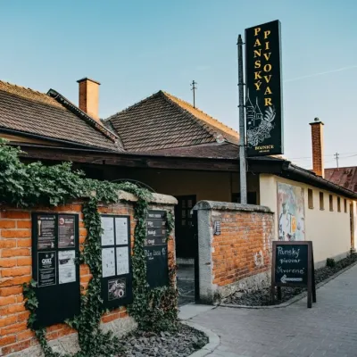 Craft beer & breweriesPanský pivovar Bojnice: unfiltered craft beer below the castleBojnice26 km from the centreBojnice is a spa town in the upper Nitra valley at the foot of the Strážov Hills, famous for the fairy-tale castle of the Pálffy family.
Spas and thermal pools nearby
Water parks & thermal poolsSpa Aphrodite thermal pools, Rajecké TepliceRajecké Teplice14 km from the centreHot mineral water rises here, and it feeds the Spa Aphrodite resort, whose thermal pools, saunas and Natural Spa zone are open not only to patients but to anyone with...Water parks & thermal poolsNimnica: a mineral-water spa above the Nosice reservoirNimnica21 km from the centreNimnica is one of Slovakia's youngest spas, in the Váh valley between Púchov and Považská Bystrica. Its spa houses stand at about 300 m on a wooded spur of the...Water parks & thermal poolsSpa & Aquapark Turčianske TepliceTurčianske Teplice25 km from the centreTurčianske Teplice is one of Slovakia’s oldest spa towns. Its warm springs were first mentioned in 1281 in a deed of gift by King Ladislaus IV, and from 1533 they...Huts, shelters and springs nearby
Getting there from Ukraine
Border crossings
- Uzhhorod – Vyšné Nemecké — road, 24/7
- Malyi Bereznyi – Ubľa — road, 24/7 For cars and buses; pedestrians not confirmed by the Ukrainian border service, lorries up to 3.5 t.
- Mali Selmentsi – Veľké Slemence (pedestrian) — pedestrian, 09:00–21:00 Kyiv time Pedestrians and cyclists only; inconvenient for the Tatras without onward transport.
- Chop – Čierna nad Tisou (rail) — rail, 24/7
By car
From Uzhhorod to Žilina ≈330 km, ≈4 h 20 min without queues: Uzhhorod – Vyšné Nemecké → I/19 to Košice → D1 via Prešov, Poprad, Liptovský Mikuláš and Ružomberok (≈17 km on I/18 between D1 sections) → Žilina. To Terchová ≈314 km, ≈4 h 15 min: from the D1 onto I/70 and II/583. From Lviv through Poland: M-10 → Krakovets – Korczowa → A4 to Kraków → S7/DK7 to Chyżne – Trstená → R3, I/59 to Dolný Kubín → II/583 via Terchová to Žilina: to Terchová ≈493 km (≈6 h 30 min), to Žilina ≈518 km (≈7 h). Via the tolled A4 Kraków – Katowice, S1 and D3: ≈533 km, ≈6 h 35 min. The D1 requires an e-vignette (eznamka.sk).
Checked 23.10.2026; border crossing hours and timetables change — check before you travel.
