Minčol (Lesser Fatra)
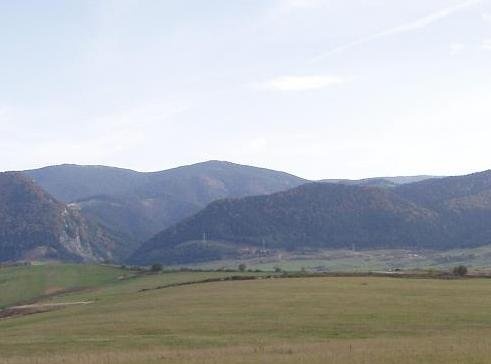
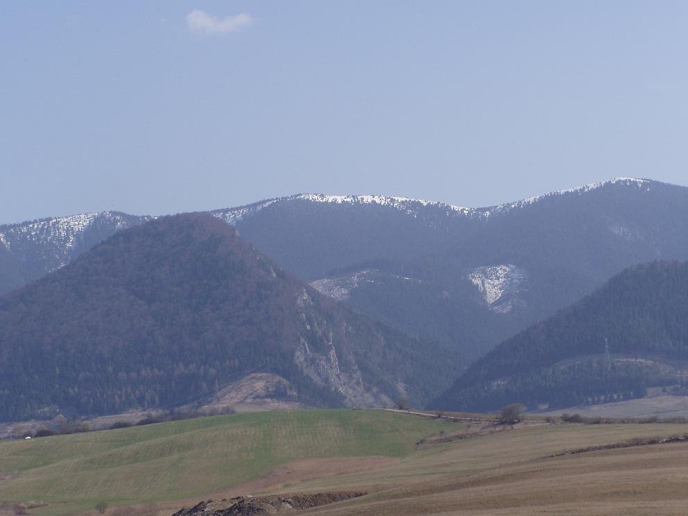
Minčol is a massive 1364 m mountain on the main ridge of the Lúčanská Fatra, part of the Lesser Fatra (Malá Fatra) in Slovakia. It lies in the central, highest section of these hills – the Lúčanské Veterné hole – about 12 km south-east of Žilina. The summit carries the border between the Žilina and Martin Districts, and the cadastres of Turie, Višňové, Stráňavy and the town of Martin meet here. Below the mountain on the Žilina side lie the villages of Stráňavy (about 5 km), Višňové and Turie, with valleys of the same names popular with walkers. The name is common in the Carpathians, so do not confuse it with Minčol in Oravská Magura.
Minčol is part of the main ridge running from Domašín in the Strečno gorge of the Váh via Minčol and Veľká lúka (1476 m) to the Fačkovské sedlo pass. To the south along the ridge lie Dlhá lúka (1305 m) and the Zázrivá height (1394 m), to the north Malý Minčol and Úplaz (1301 m), beyond which the ridge drops to the Javorina saddle. From the Žilina side the mountain looks massive because its relative height is greatest there; from the east, from Turiec, it is fairly inconspicuous.
How to get there / routes
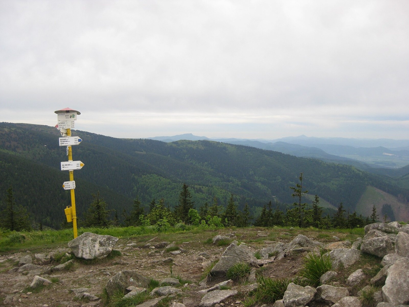
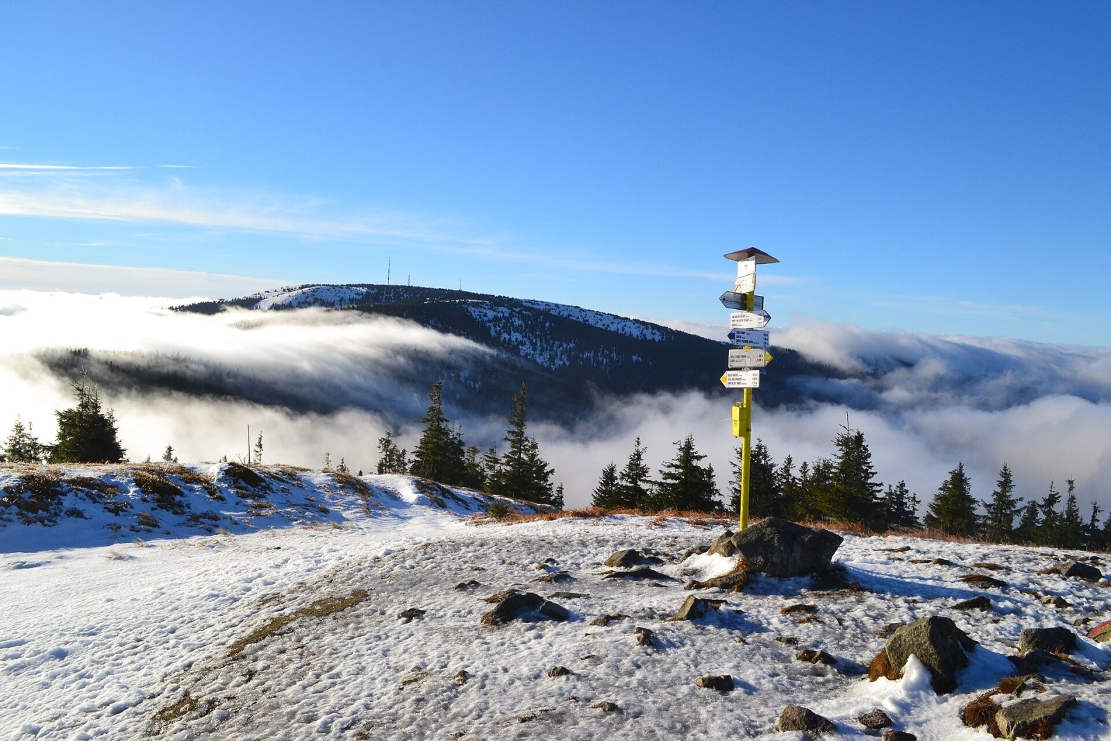
Minčol is a junction of several marked trails:
- Red trail along the main Lesser Fatra ridge (part of the European long-distance path E3 and the Eisenach–Budapest route): from the south from Krížava via Dlhá lúka and the Prašivé saddle, from the north from the Javorina saddle via Úplaz and the Okopy saddle.
- Blue trail no. 2728: from the village of Višňové via Horná roveň, or from Vrútky-Piatrová via the Okopy saddle.
- Yellow trail: from the village of Turie up the Turská dolina, or from Vrútky (Turiec campsite) via the Prašivé saddle.
Most people cross Minčol on the red trail while walking the main ridge of the Lesser Fatra.
What you can see from the top
The treeless summit gives an excellent all-round panorama. To the south the view is partly blocked by Martinské hole, the highest part of the Lúčanská Fatra, but many Lesser Fatra peaks are well seen, as are the Žilina and Turiec basins with the towns of Žilina and Martin. The mountain lies on the axis of the upper Váh, so to the east you can see across Liptov to the Western and High Tatras, with the Low Tatras ridge above the Greater Fatra. Veľký Choč and the Kriváň Fatra seem close enough to touch, and in the Orava Beskids Babia hora and Pilsko stand out. The northern horizon continues with the Kysuce and Moravian-Silesian Beskids with Lysá hora, and to the south-west rise the Javorníky, the northern White Carpathians and the Strážov Mountains.
Nature and history
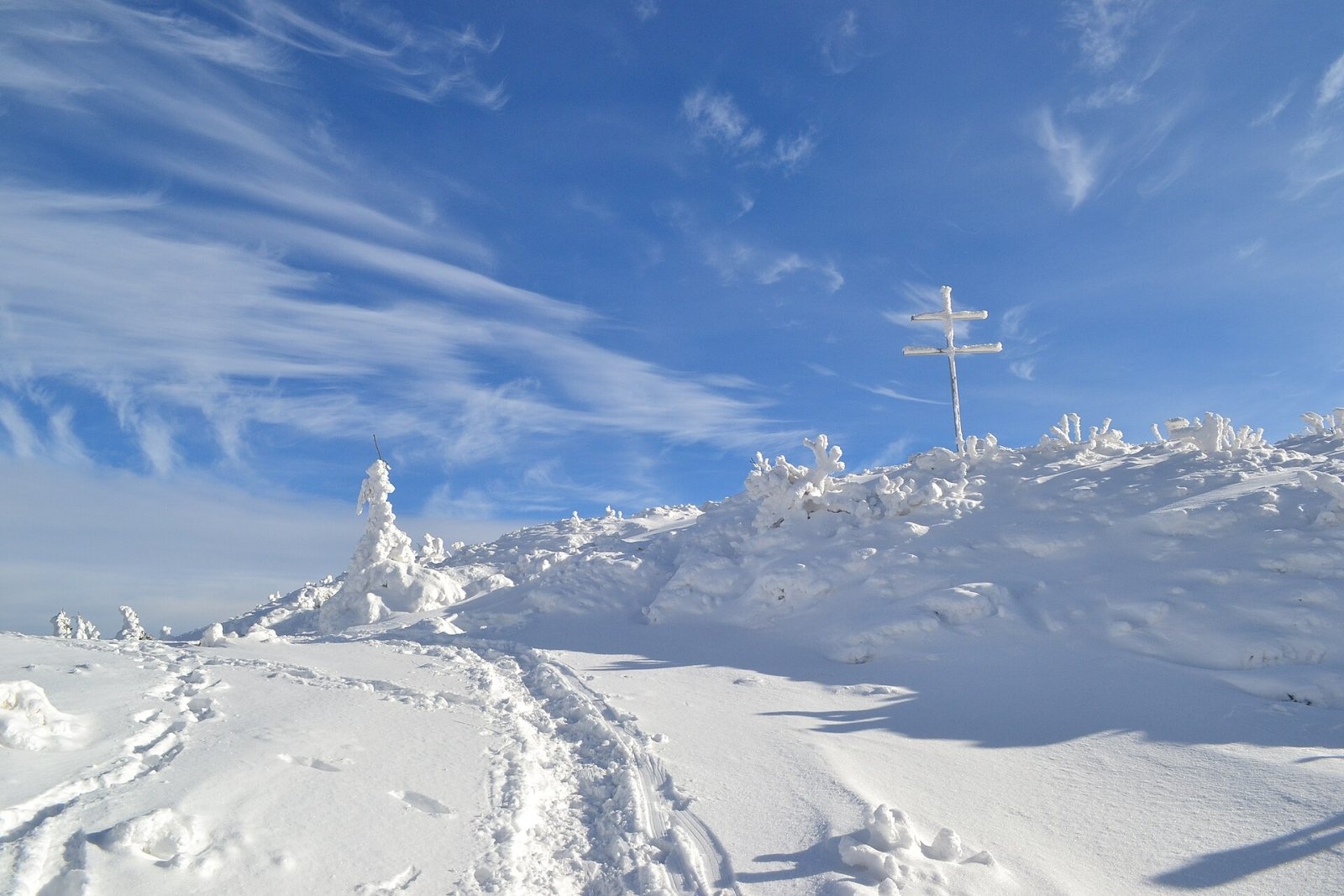
The slopes are mostly covered with spruce, in places mixed forest, while the summit is treeless and surrounded by continuous carpets of bilberry. On the top stand a large metal double cross and a trail signpost. The northern slopes are drained by tributaries of the Stráňavský potok and the Rosinka, the western ones by tributaries of the Turiansky potok, and the eastern ones by the Javorina stream.
In April 1945 heavy fighting took place around Minčol. Remains of trenches, shelters and field fortifications are still visible on the ridge and slopes, and in the nearby Okopy saddle stands a gun – part of an exhibition of the weapons with which units of the 1st Czechoslovak Army Corps shelled German positions in the Žilina basin during the liberation of Žilina. A memorial stands at the foot of the mountain towards Strečno.
The name Minčol was first recorded in 1563; it was probably brought from the Balkans during the Wallachian colonisation and comes from the Romanian muncel, "hillock".
Safety, season and rules
The open summit is exposed to strong wind and thunderstorms, and in winter there are snowdrifts and rime – take winter gear. The Lúčanská Fatra lies outside Malá Fatra National Park (which covers the Kriváň part of the range), but keep to the marked trails and respect the pastures. Slovak Mountain Rescue Service (HZS): 18 300 (+421 18 300); general emergency number 112.
Interesting facts
- Every 31 December the KST Višňové club organises a star-shaped New Year's Eve walk to Minčol with several hundred participants; the 25th took place in 2022.
- In October the "Run to Minčol" is held: 6.5 km and 850 m of ascent from the mouth of the Višňovská dolina.
- The mountain's name is most likely of Romanian origin.
Photos: Pe3kZA, CC BY 3.0; Marek Pavlík, CC BY-SA 4.0; Pe3kZA, CC0; Marek Pavlík, CC BY-SA 4.0; Pe3kZA, CC BY-SA 4.0; R. Turjak, P. Porubcansky, CC BY-SA 4.0 — Wikimedia Commons.
Getting there from Ukraine
Border crossings
- Uzhhorod – Vyšné Nemecké — road, 24/7
- Malyi Bereznyi – Ubľa — road, 24/7 For cars and buses; pedestrians not confirmed by the Ukrainian border service, lorries up to 3.5 t.
- Mali Selmentsi – Veľké Slemence (pedestrian) — pedestrian, 09:00–21:00 Kyiv time Pedestrians and cyclists only; inconvenient for the Tatras without onward transport.
- Chop – Čierna nad Tisou (rail) — rail, 24/7
By car
From Uzhhorod to Žilina ≈330 km, ≈4 h 20 min without queues: Uzhhorod – Vyšné Nemecké → I/19 to Košice → D1 via Prešov, Poprad, Liptovský Mikuláš and Ružomberok (≈17 km on I/18 between D1 sections) → Žilina. To Terchová ≈314 km, ≈4 h 15 min: from the D1 onto I/70 and II/583. From Lviv through Poland: M-10 → Krakovets – Korczowa → A4 to Kraków → S7/DK7 to Chyżne – Trstená → R3, I/59 to Dolný Kubín → II/583 via Terchová to Žilina: to Terchová ≈493 km (≈6 h 30 min), to Žilina ≈518 km (≈7 h). Via the tolled A4 Kraków – Katowice, S1 and D3: ≈533 km, ≈6 h 35 min. The D1 requires an e-vignette (eznamka.sk).
Checked 23.10.2026; border crossing hours and timetables change — check before you travel.
Location on the map
Water and shelter nearby
- Spring below Minčol (south-west slope)270 m · Not verified · 1 260 m
- Hut below Dlhá lúka760 m · Not verified · 1 103 m
- Spring below Skalnatá760 m · Not verified · 1 102 m
- Spring below Dlhá lúka1.1 km · Not verified · 1 218 m
- Spring below Rázsošná (north-west slope)2.6 km · Not verified · 877 m
- Spring below Rázsošná (north-east slope)2.7 km · Not verified · 1 018 m
Comments
Trails via Minčol (Lesser Fatra)
All 1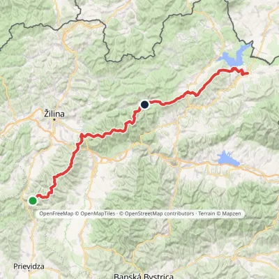
Nearby attractions
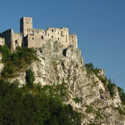 CastleStrečno CastleStrečno6.2 km from Minčol (Lesser Fatra)The castle guarding the gate of the Malá Fatra Strečno Castle (Hrad Strečno) stands on a 103 m limestone crag above the River Váh, 11 km from Žilina on the road to...
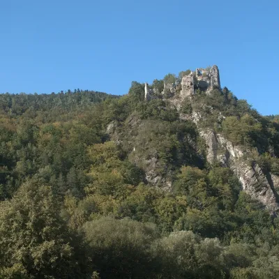 CastleStarý hrad (Old Castle)Nezbudská Lúčka7.6 km from Minčol (Lesser Fatra)Starý hrad (Old Castle), known locally as Starhrad and in the past as Varín (Warna), is the ruin of a medieval castle on a granite crag on the right bank of the Váh,...
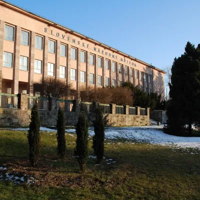 MuseumEthnographic Museum of the Slovak National Museum, MartinMartin10 km from Minčol (Lesser Fatra)The Ethnographic Museum of the Slovak National Museum in Martin (SNM – Etnografické múzeum) is the main building of SNM – Museums in Martin and holds the most complete...
Craft nearby
All craft places Water parks & thermal poolsSpa Aphrodite thermal pools, Rajecké TepliceRajecké Teplice11 km from Minčol (Lesser Fatra)Hot mineral water rises here, and it feeds the Spa Aphrodite resort, whose thermal pools, saunas and Natural Spa zone are open not only to patients but to anyone with...
 Cheese dairies & pasturesFarma Brezany near Žilina: hand-stretched cheese and a distilleryBrezany14 km from Minčol (Lesser Fatra)Brezany is a village a few kilometres south of Žilina, on the edge of the Žilina basin and the foothills leading towards the Rajec valley and the Strážov Hills.
 Cheese dairies & pasturesSalaš Syrex in Zázrivá — Home of the Zázrivá Korbáčik CheeseZázrivá26 km from Minčol (Lesser Fatra)Zázrivá is a scattered mountain village on the border of Orava and the Malá Fatra, famous throughout Slovakia for its korbáčiky: thin strings of steamed cheese braided...
 Cheese dairies & pasturesSalaš Pružina: 100% sheep’s bryndza in the Strážov HillsPružina28 km from Minčol (Lesser Fatra)Pružina is a village in a picturesque valley of the Strážov Hills (Strážovské vrchy) west of Považská Bystrica.
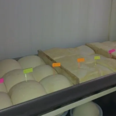 Cheese dairies & pasturesSalaš Orlové near Považská Bystrica: cheese, bryndza, žinčicaPovažská Bystrica29 km from Minčol (Lesser Fatra)Orlové is a part of the town of Považská Bystrica on the left bank of the Váh, at the foot of hills that rise into the Strážov Hills.
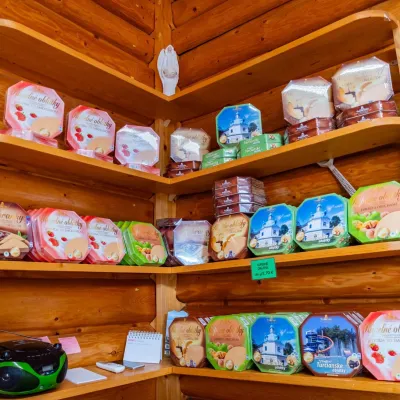 Cheese dairies & pasturesTuriec bryndza dairy, Turčianske Teplice: bryndza since 1917Turčianske Teplice29 km from Minčol (Lesser Fatra)More than a hundred years of Turiec bryndza Turiec is a wide basin between the ridges of the Veľká and Malá Fatra, a land of pastures and old sheep farming.
