Úšust (Oszus)
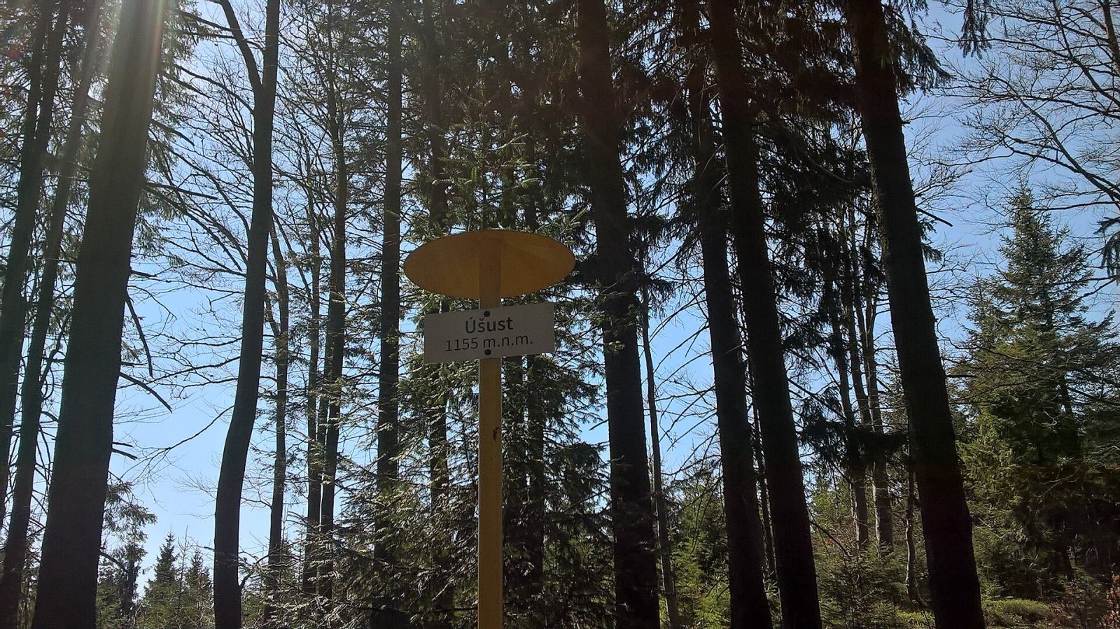

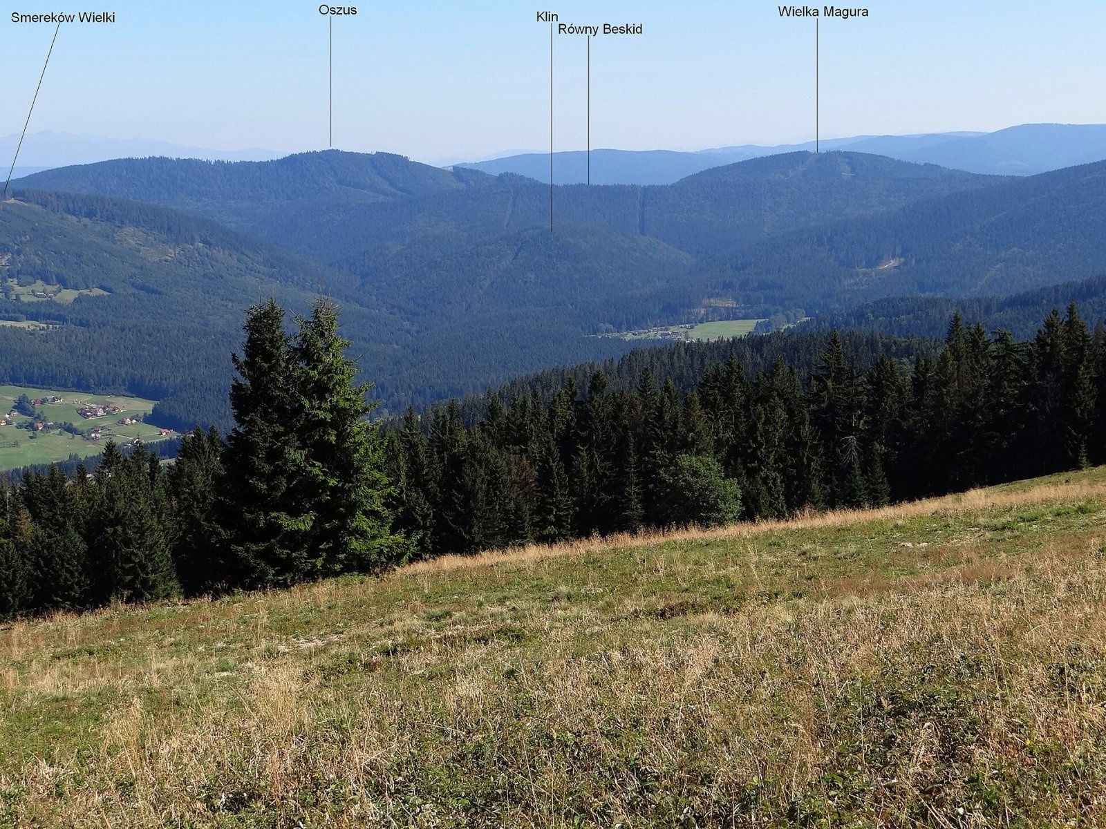
Úšust (Polish Oszus or Oszust) is a 1155 m summit in the Orava Beskids on the Slovak–Polish border. It rises above the village of Oravská Lesná (about 4.4 km), some 20 km west of Námestovo, in the Žilina Region. The summit itself lies in Slovakia, about 200 m south of the border, within the municipality of Zákamenné; the Polish slopes belong to the village of Soblówka (Ujsoły commune, Silesian Voivodeship). The nearest settlements are Oravská Lesná to the south, Zákamenné and Novoť to the east and Soblówka to the north-west. The mountain lies in the Horná Orava Protected Landscape Area.
Úšust belongs to the main ridge of the Orava Beskids – in Polish tradition part of the Żywiec–Kysuce Beskids – and gives its name to the whole Ošust group. It lies between the Hlinka saddle (845 m) and Bednárová (1093 m). Around it rise Czoło (1040 m) and Javorina to the north, Veľký kopec and Strakov vrch to the east, Juríková (918 m) to the south, and Vysoká Magura (1115 m) and Krkoškuľa to the west. The main European watershed follows the ridge: the northern slopes drain via the Urwisko stream to the Soła (Baltic basin), the southern and eastern ones to the Biela Orava (Black Sea basin).
How to get there / routes
No marked trail leads to the summit itself, but the blue ridge trail runs along the main ridge just north of it – the top is only a few minutes away.
- From the west – blue trail from the Príslop saddle via Talapkov Beskyd and Krkoškuľa.
- From the north – blue trail from the Hlinka saddle via the Kaňovky junction.
- From the south-east – green trail from Zákamenné (the "Zákamenné boundary path") to the Kaňovky junction.
- From the south – yellow trail from Oravská Lesná via the Kohútik and Podúšust junctions.
The sources give no walking times – plan the hike with an Orava Beskids hiking map.
What you can see from the top
The summit is covered by broken forest marked by logging and windthrow, so the view is limited. Thanks to the clearings a panorama opens to the west and north-west. From open spots you can see the neighbouring peaks of the Orava, Kysuce, Silesian and Żywiec Beskids, Oravská Magura, the Kysuce Highlands and the Lesser Fatra, and quite often the Tatras.
Nature and history
On the Polish slopes below the summit the Oszast nature reserve protects a fragment of the original Carpathian primeval forest: lower-montane beech-fir forest with spruce and sycamore. A triangulation point marks the summit.
The mountain's name is a real tangle. The Polish researcher Aleksy Siemionow considered "Wysoki Beskid" (High Beskid) the correct name – it was first recorded by Andrzej Komoniecki (1658–1728) and describes well how the mountain towers over neighbouring Równy Beskid and Kaniówki. An 1880s map introduced the mistaken form "Osusz", copied by the Geographical Dictionary of the Kingdom of Poland; the Polish Military Geographical Institute changed it to "Oszus", and the official gazetteer now gives "Oszust". The Slovak form is Úšust.
Safety, season and rules
This is a wooded mid-mountain summit accessible all year, but off the waymarks it is easy to get lost, and windthrow can block paths. The ridge follows the state border – crossing is allowed within the Schengen area, but stay on marked trails. On the Polish side do not leave the paths in the Oszast reserve. In Slovakia help comes from the Mountain Rescue Service HZS: 18 300 (+421 18 300); in Poland from GOPR: 985 or +48 601 100 300; general emergency number 112.
Interesting facts
- One summit, at least five names: Úšust, Oszus, Oszust, Osusz and Wysoki Beskid.
- Rain falling on the summit may end up in either the Baltic or the Black Sea.
Photos: ZIGI2014, CC BY-SA 4.0; Zygmunt Gałązka (ZIGI2014), CC BY-SA 4.0; Jerzy Opioła, CC BY-SA 3.0 — Wikimedia Commons.
Getting there from Ukraine
Border crossings
- Uzhhorod – Vyšné Nemecké — road, 24/7
- Malyi Bereznyi – Ubľa — road, 24/7 For cars and buses; pedestrians not confirmed by the Ukrainian border service, lorries up to 3.5 t.
- Mali Selmentsi – Veľké Slemence (pedestrian) — pedestrian, 09:00–21:00 Kyiv time Pedestrians and cyclists only; inconvenient for the Tatras without onward transport.
- Chop – Čierna nad Tisou (rail) — rail, 24/7
By car
From Uzhhorod ≈275 km, ≈3 h 35 min without queues: Uzhhorod – Vyšné Nemecké → I/19 to Košice → D1 motorway via Prešov, Poprad and Liptovský Mikuláš to Ružomberok (≈270 km, ≈3 h 25 min from the border). From Lviv it is faster through Poland: M-10 → Krakovets – Korczowa → A4 to Kraków → S7/DK7 to the Chyżne – Trstená border → R3 and I/59 via Dolný Kubín to Ružomberok: ≈482 km, ≈6 h 15 min (via Uzhok and Ubľa ≈500 km, ≈7 h 30 min). The D1 requires an e-vignette (eznamka.sk).
Checked 23.10.2026; border crossing hours and timetables change — check before you travel.
Location on the map
Water and shelter nearby
- Captured spring below Úšust1.1 km · Not verified · 1 042 m
Comments
Trails nearby
All trails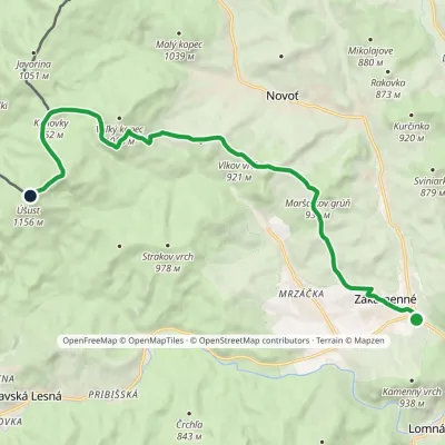 ModerateOne-dayMarkedTrail through Zákamenský ChotárElevation profile680–1 154 m14 kmascent 671 m≈ 5 h walkingunder 1 km from Úšust (Oszus)
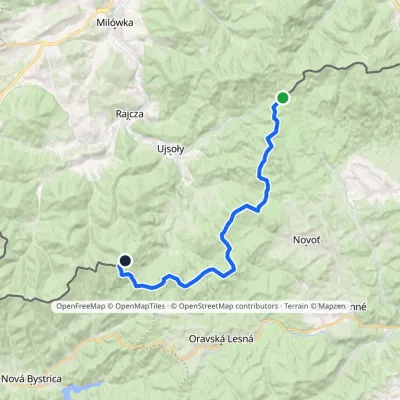 HardTwo-dayMarkedPTTK Hut on Rycerzowa Talapkov BeskydElevation profile842–1 226 m26 kmascent 1 149 m≈ 9 h walkingunder 1 km from Úšust (Oszus)
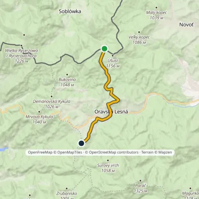 EasyOne-dayMarkedMacangov Beskyd PodúšustElevation profile780–977 m10.5 kmascent 350 m≈ 3.5 h walkingunder 1 km from Úšust (Oszus)
Nearby attractions
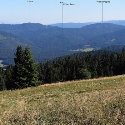 PeakVysoká MaguraZákamennéaltitude 1 115 m1.9 km from Úšust (Oszus)Vysoká Magura (Polish Wysoka Magura) is a 1115 m summit in the Orava Beskids (Oravské Beskydy) in northern Slovakia, which Polish geographers count as part of the...
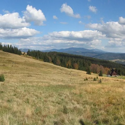 Mountain meadowHala RycerzowaSoblówkaaltitude 1 165 m6.6 km from Úšust (Oszus)Hala Rycerzowa is a large mountain meadow in the Wielka Racza group in the west of the Żywiec Beskids, above the village of Soblówka in the commune of Ujsoły, right by...
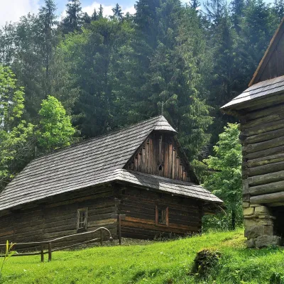 MuseumKysuce Village Museum and Forest Railway, VychylovkaNová Bystrica7 km from Úšust (Oszus)The Kysuce Village Museum (Múzeum kysuckej dediny) is an open-air museum in the Chmúra valley, in the Vychylovka part of the village of Nová Bystrica, in the far north...
Craft nearby
All craft places Cheese dairies & pasturesSalaš Syrex in Zázrivá — Home of the Zázrivá Korbáčik CheeseZázrivá17 km from Úšust (Oszus)Zázrivá is a scattered mountain village on the border of Orava and the Malá Fatra, famous throughout Slovakia for its korbáčiky: thin strings of steamed cheese braided...
 Cheese dairies & pasturesBacówka na Bukowinie, Żabnica: sheep's cheese and alpacasWęgierska Górka22 km from Úšust (Oszus)Bacówka na Bukowinie stands on a slope above the village of Żabnica, next to Węgierska Górka, where the Żywiec Beskids meet the Silesian Beskids.
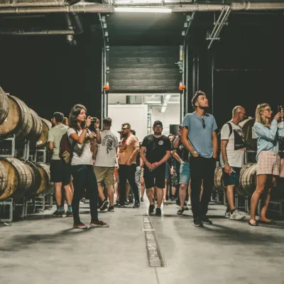 Craft beer & breweriesPINTA Brewery, Wieprz near Żywiec: tours and taproomWieprz27 km from Úšust (Oszus)PINTA is the brewery that Poles associate with the start of the “beer revolution”; it calls itself the country's first craft brewery.
 Water parks & thermal poolsAquapark Leśna (Żywiec)Leśna29 km from Úšust (Oszus)Aquapark Leśna (also called Aquapark Żywiec) is a swimming-pool complex in the village of Leśna, a few kilometres from Żywiec, in the Żywiec Basin, surrounded by the...
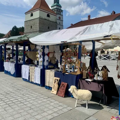 Markets & fairsFolk Art Fair in Żywiec during the Beskidy Week of CultureŻywiec31 km from Úšust (Oszus)The Beskidy Highlanders' Week of Culture (Tydzień Kultury Beskidzkiej, TKB) is Poland's largest folklore festival: it was first held in Wisła in 1964, and today, at...
 Cheese dairies & pasturesRaková farm in Kysuce: bryndza, žinčica and cheese cakesRaková32 km from Úšust (Oszus)Kysuce is a hilly region in north-western Slovakia, near the Polish and Czech borders, with scattered hillside hamlets (“kopanice”) and an old tradition of keeping...
