Ľadonhora
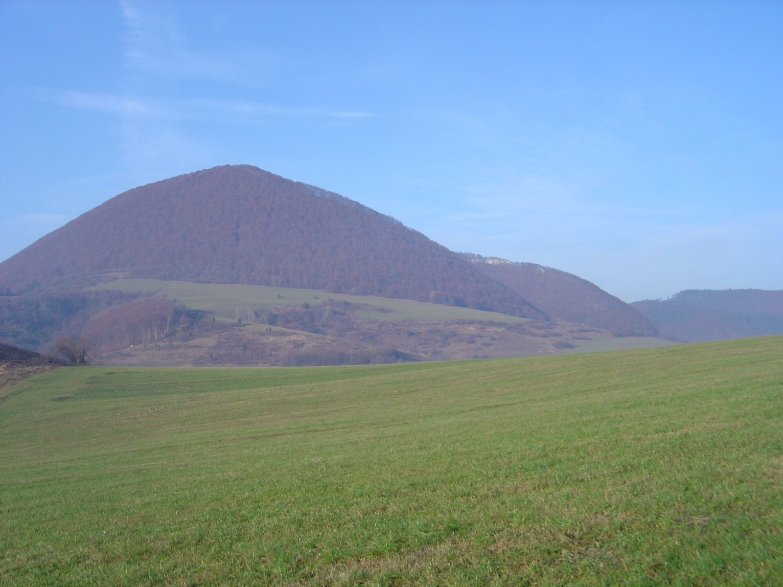
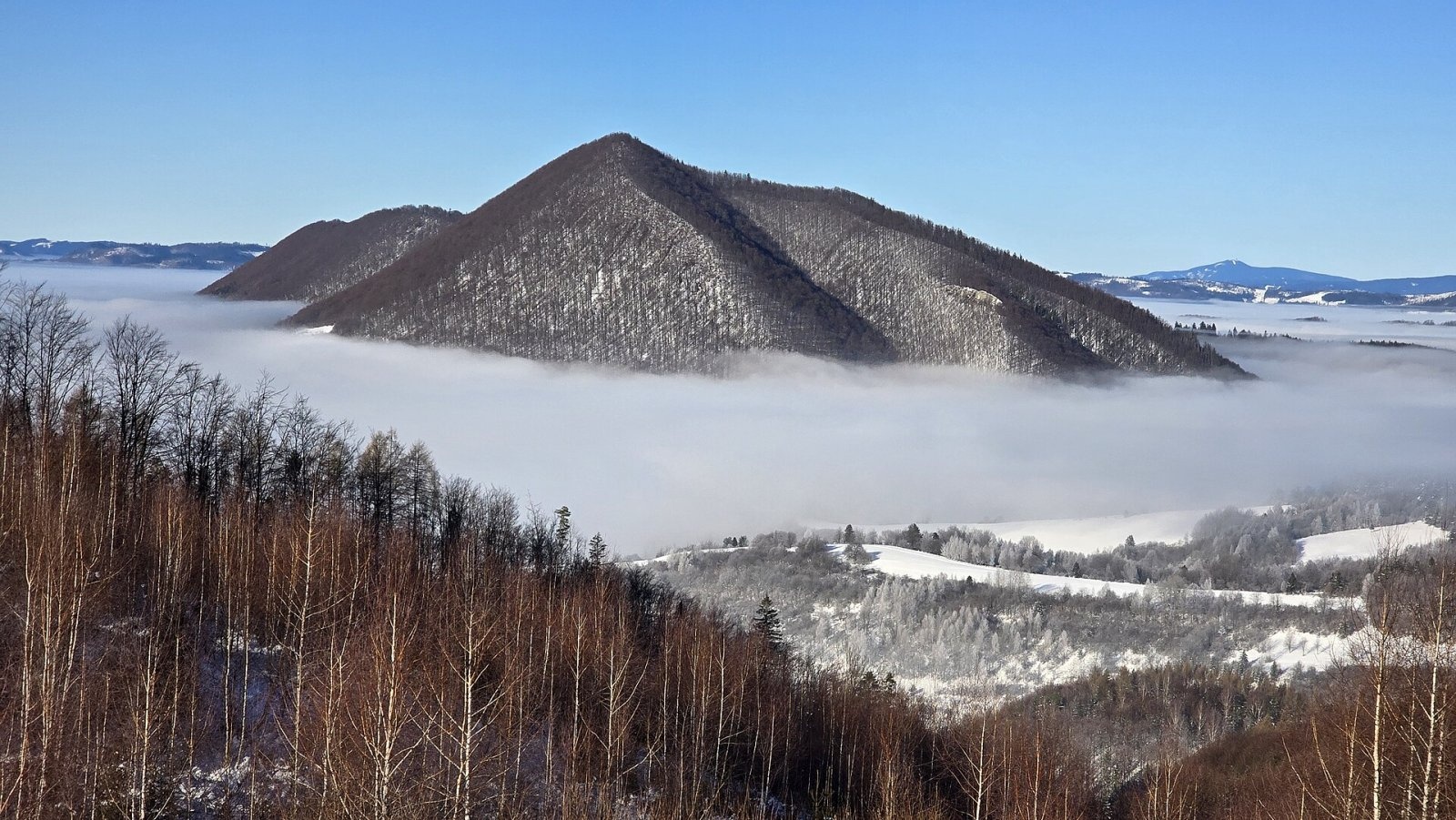
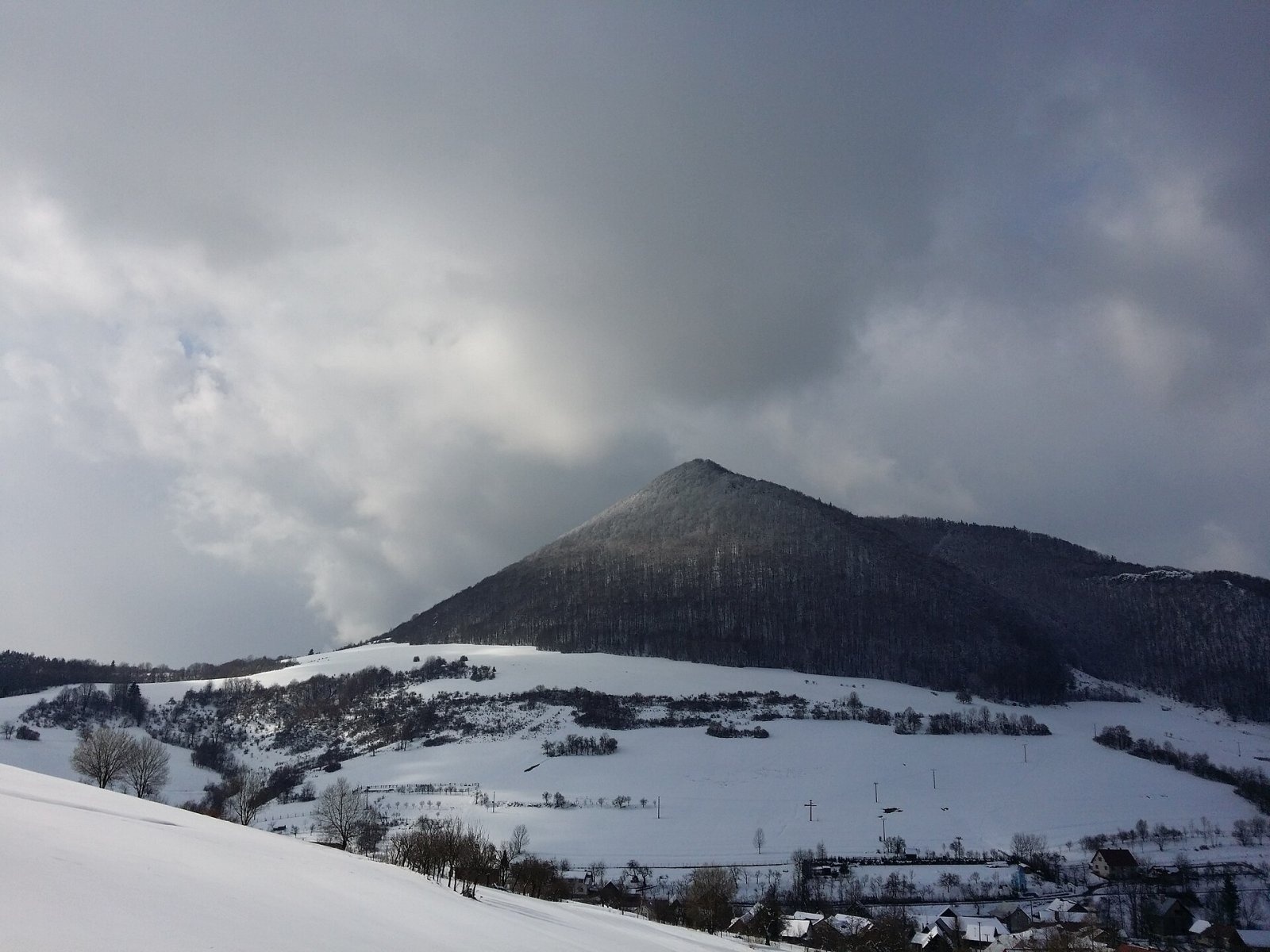
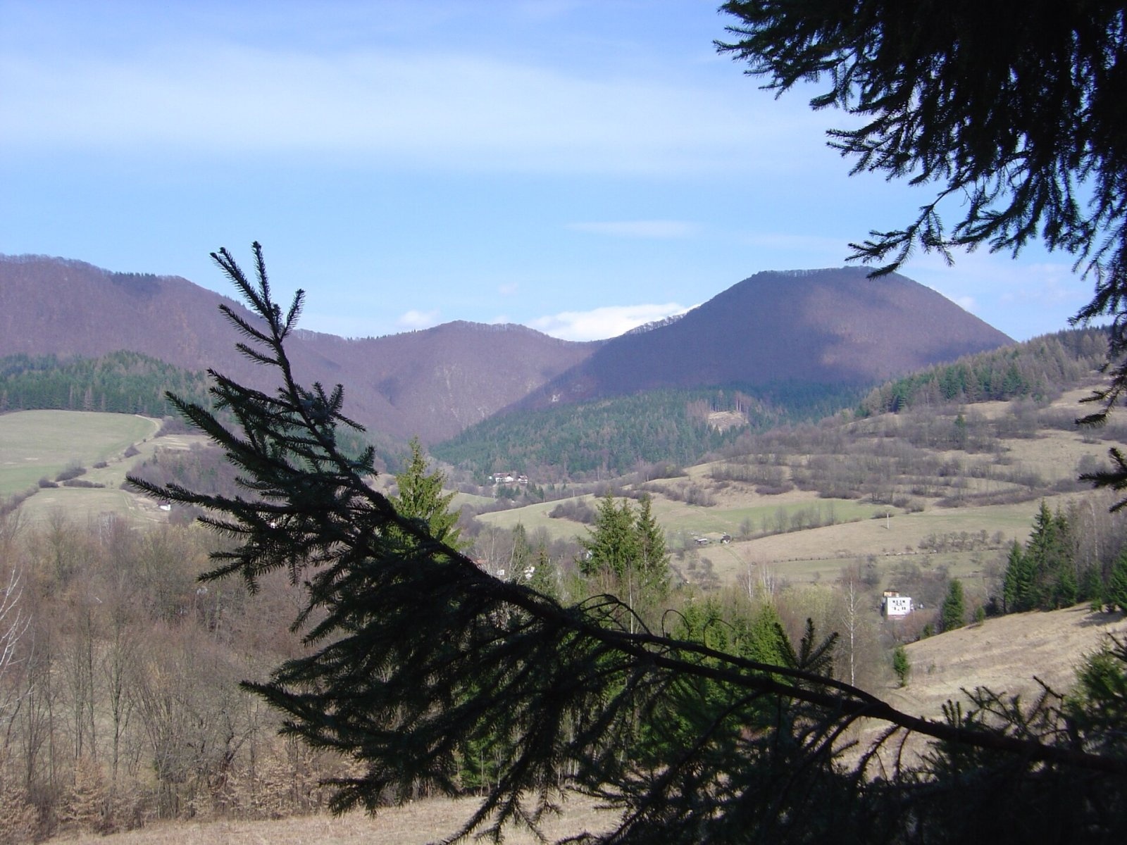
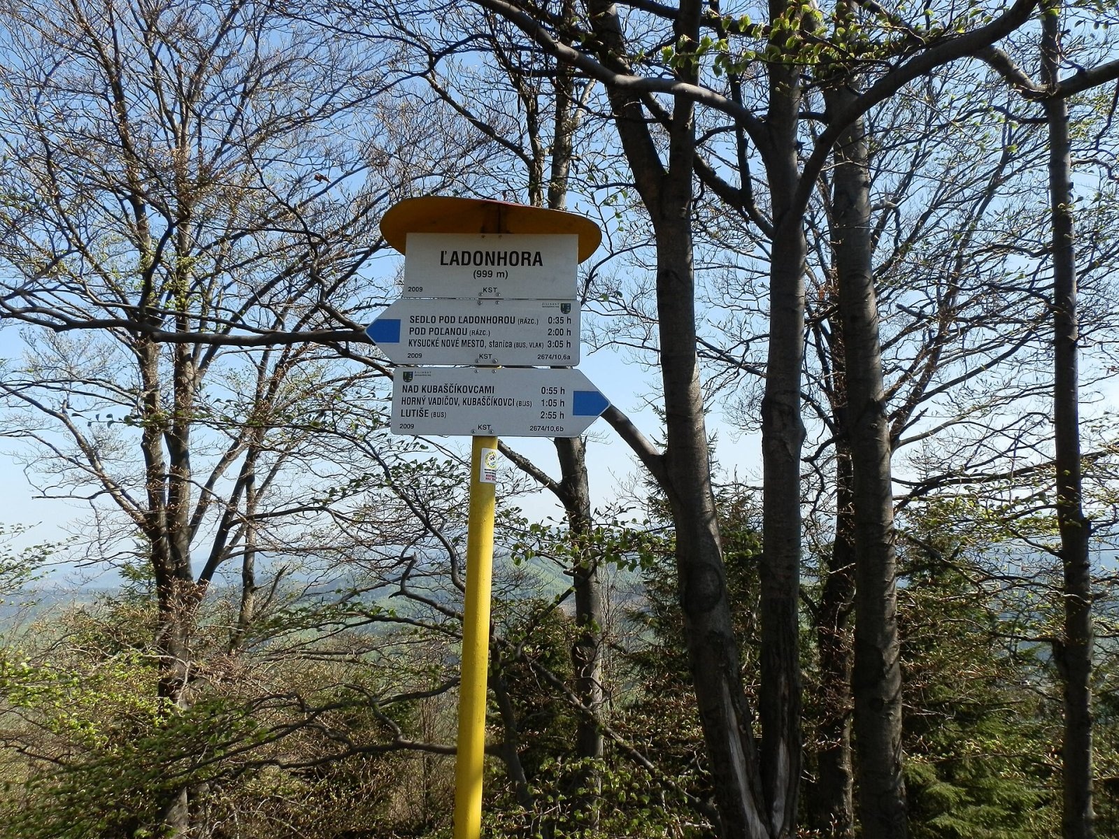
Ľadonhora is a forested 999 m summit in northern Slovakia and the second-highest peak of the Kysuce Highlands (Kysucká vrchovina). It rises above the villages of Horný Vadičov and Dolný Vadičov, about 7 km east-south-east of the town of Kysucké Nové Mesto in the Žilina Region. The summit lies on the boundary of the two Vadičovs and belongs to the Kysucké bradlá subunit; geologically it is part of the Pieniny Klippen Belt, which runs as a narrow strip along the arc of the Carpathians.
The hill is a regular cone, slightly elongated east–west, with a flattened top and steep slopes, especially to the south and east. That is why it dominates the whole valley of the Vadičov brook and is recognisable from afar. Ľadonhora closes, at its eastern end, a long ridge coming from Radoľa; to the west, beyond the saddle under Ľadonhora (about 835 m), stands the lower Holý vrch (912 m), to the north-east Obelec (841 m), and the southern horizon is taken by nearby Požeha (800 m).
How to get there / routes
A blue KST marked trail crosses the summit. Slovak sources describe several approaches: from the west, from Kysucké Nové Mesto along the ridge via the saddle under Ľadonhora; from the east, from Lutiše via Horný Vadičov; from Dolný Vadičov via the same saddle; and from Povina via Horný Vadičov. Czech Wikipedia recommends the blue route from the Kubaščikovci settlement. The climb is moderately demanding, with the last few hundred metres on a steep, stony slope.
What you can see from the top
The summit itself is wooded and has no views. From the viewpoint just below it, however, you can see the neighbouring Magura and Požeha and, in good weather, the whole Krivánska and the northern part of the Lúčanská Fatra (Lesser Fatra), part of the Žilina Basin and the Javorníky.
Nature and history
The massif is built mostly of Mesozoic limestones, claystones and marls; near the top the soil is thin, the slopes are stony and small rock outcrops appear. The relief is still being shaped by rainwater, frost weathering and mass movements. Almost the whole massif is forested with various types of beech wood with scattered spruce and, in rocky places, sycamore maple. At the beginning of the 20th century the hill was almost bare and treeless.
Since 1993 the summit and its slopes have been protected as the Ľadonhora nature reserve, 285.74 ha in size with the highest (5th) degree of protection. It safeguards varied forest communities on limestone, roughly above the 650–700 m contour, together with the southern slopes of the neighbouring ridge.
Traces of the Lusatian and Púchov cultures have been found at the foot of the hill, and in the Early Iron Age the summit served as a refuge: ramparts fortified a site with an acropolis and an outer bailey. Given the size of the fortified area, researchers assume a dense settlement around it. The name most probably comes from the Old Slavic goddess Lada — "the mountain of the goddess Lada".
Safety, season and rules
The hill can be climbed all year, but its slopes are steep: stony paths get slippery after rain, and in winter you need shoes with a good tread or light microspikes. The reserve has the 5th degree of protection — stay on marked paths, light no fires and do not pick plants. Slovak Mountain Rescue Service (HZS): 18 300 (+421 18 300); general emergency number 112.
Interesting facts
- Ľadonhora falls just one metre short of a thousand.
- Every year local hikers hold an Easter ascent of Ľadonhora.
- An Early Iron Age fortified hillfort once stood on the summit.
Photos: Jozef.pavlusik, CC BY-SA 4.0; Majčino, CC BY-SA 4.0; Vegetator, CC BY-SA 4.0; Jozef.pavlusik, CC BY-SA 4.0; Michal Jakubský, CC BY 3.0 — Wikimedia Commons.
Getting there from Ukraine
Border crossings
- Uzhhorod – Vyšné Nemecké — road, 24/7
- Malyi Bereznyi – Ubľa — road, 24/7 For cars and buses; pedestrians not confirmed by the Ukrainian border service, lorries up to 3.5 t.
- Mali Selmentsi – Veľké Slemence (pedestrian) — pedestrian, 09:00–21:00 Kyiv time Pedestrians and cyclists only; inconvenient for the Tatras without onward transport.
- Chop – Čierna nad Tisou (rail) — rail, 24/7
By car
From Uzhhorod to Žilina ≈330 km, ≈4 h 20 min without queues: Uzhhorod – Vyšné Nemecké → I/19 to Košice → D1 via Prešov, Poprad, Liptovský Mikuláš and Ružomberok (≈17 km on I/18 between D1 sections) → Žilina. To Terchová ≈314 km, ≈4 h 15 min: from the D1 onto I/70 and II/583. From Lviv through Poland: M-10 → Krakovets – Korczowa → A4 to Kraków → S7/DK7 to Chyżne – Trstená → R3, I/59 to Dolný Kubín → II/583 via Terchová to Žilina: to Terchová ≈493 km (≈6 h 30 min), to Žilina ≈518 km (≈7 h). Via the tolled A4 Kraków – Katowice, S1 and D3: ≈533 km, ≈6 h 35 min. The D1 requires an e-vignette (eznamka.sk).
Checked 23.10.2026; border crossing hours and timetables change — check before you travel.
Location on the map
Water and shelter nearby
- Spring below Bizov vrch590 m · Not verified · 683 m
- Spring below Ľadonhora690 m · Not verified · 661 m
- Spring below Holý vrch (east slope), 769 m1.2 km · Not verified · 769 m
- Spring under Uhliskami2 km · Not verified · 597 m
Comments
Trails nearby
All trails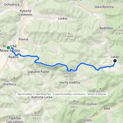 ModerateTwo-dayMarkedKysucké Nové Mesto, station LutišeElevation profile347–999 m17.6 kmascent 935 m≈ 6.5 h walkingunder 1 km from Ľadonhora
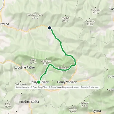 EasyOne-dayMarkedPovina, Jedľovina Dolný VadičovElevation profile446–736 m9 kmascent 433 m≈ 3 h walkingunder 1 km from Ľadonhora
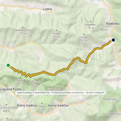 ModerateOne-dayMarkedPod Poľanou RadôstkaElevation profile530–839 m11.1 kmascent 333 m≈ 3.5 h walkingunder 1 km from Ľadonhora
Nearby attractions
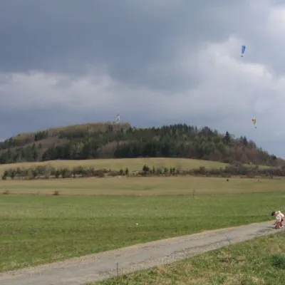 PeakStraníkŽilinaaltitude 769 m6.2 km from ĽadonhoraStraník is a summit 769 m high in the Kysuce Highlands of northern Slovakia, about 5 km east of Žilina.
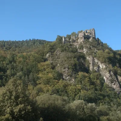 CastleStarý hrad (Old Castle)Nezbudská Lúčka12 km from ĽadonhoraStarý hrad (Old Castle), known locally as Starhrad and in the past as Varín (Warna), is the ruin of a medieval castle on a granite crag on the right bank of the Váh,...
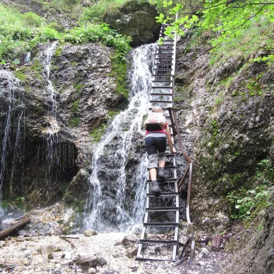 NatureJánošík's Holes (Jánošíkove diery)Terchová15 km from ĽadonhoraJánošíkove diery (Jánošík’s Holes), or simply Diery, is a system of narrow gorges and canyons in the Krivánska Malá Fatra near the village of Terchová, birthplace of...
Craft nearby
All craft places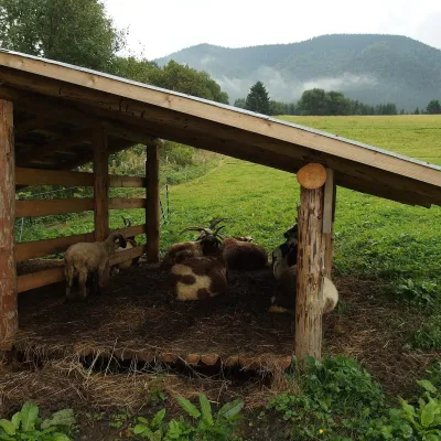 Cheese dairies & pasturesSalaš Syrex in Zázrivá — Home of the Zázrivá Korbáčik CheeseZázrivá16 km from ĽadonhoraZázrivá is a scattered mountain village on the border of Orava and the Malá Fatra, famous throughout Slovakia for its korbáčiky: thin strings of steamed cheese braided...
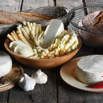 Cheese dairies & pasturesFarma Brezany near Žilina: hand-stretched cheese and a distilleryBrezany18 km from ĽadonhoraBrezany is a village a few kilometres south of Žilina, on the edge of the Žilina basin and the foothills leading towards the Rajec valley and the Strážov Hills.
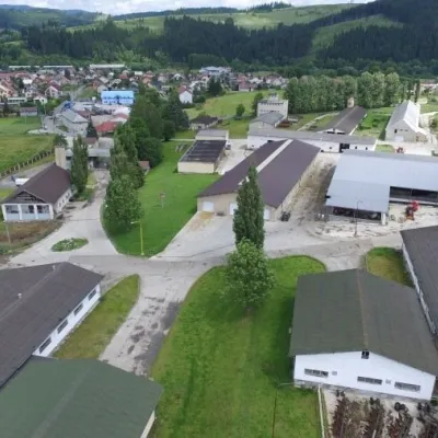 Cheese dairies & pasturesRaková farm in Kysuce: bryndza, žinčica and cheese cakesRaková20 km from ĽadonhoraKysuce is a hilly region in north-western Slovakia, near the Polish and Czech borders, with scattered hillside hamlets (“kopanice”) and an old tradition of keeping...
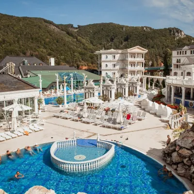 Water parks & thermal poolsSpa Aphrodite thermal pools, Rajecké TepliceRajecké Teplice22 km from ĽadonhoraHot mineral water rises here, and it feeds the Spa Aphrodite resort, whose thermal pools, saunas and Natural Spa zone are open not only to patients but to anyone with...
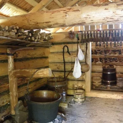 Cheese dairies & pasturesSalaš Krajinka near RužomberokRužomberok32 km from ĽadonhoraSalaš Krajinka is a genuine sheep farm on the edge of Ružomberok in lower Liptov. It was founded in 1983 to keep a thousand sheep, and the owners have deliberately...
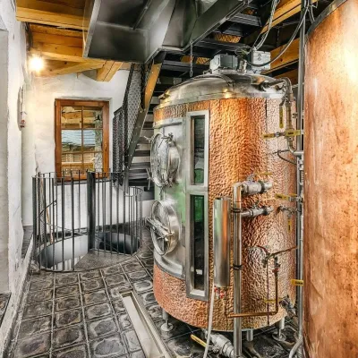 Craft beer & breweriesURSUS craft brewery, Čutkovská valleyRužomberok35 km from ĽadonhoraURSUS craft brewery (Remeselný pivovar URSUS) is the first brewery of the town of Ružomberok, tucked away in the picturesque Čutkovská valley in lower Liptov.
