Čadca District
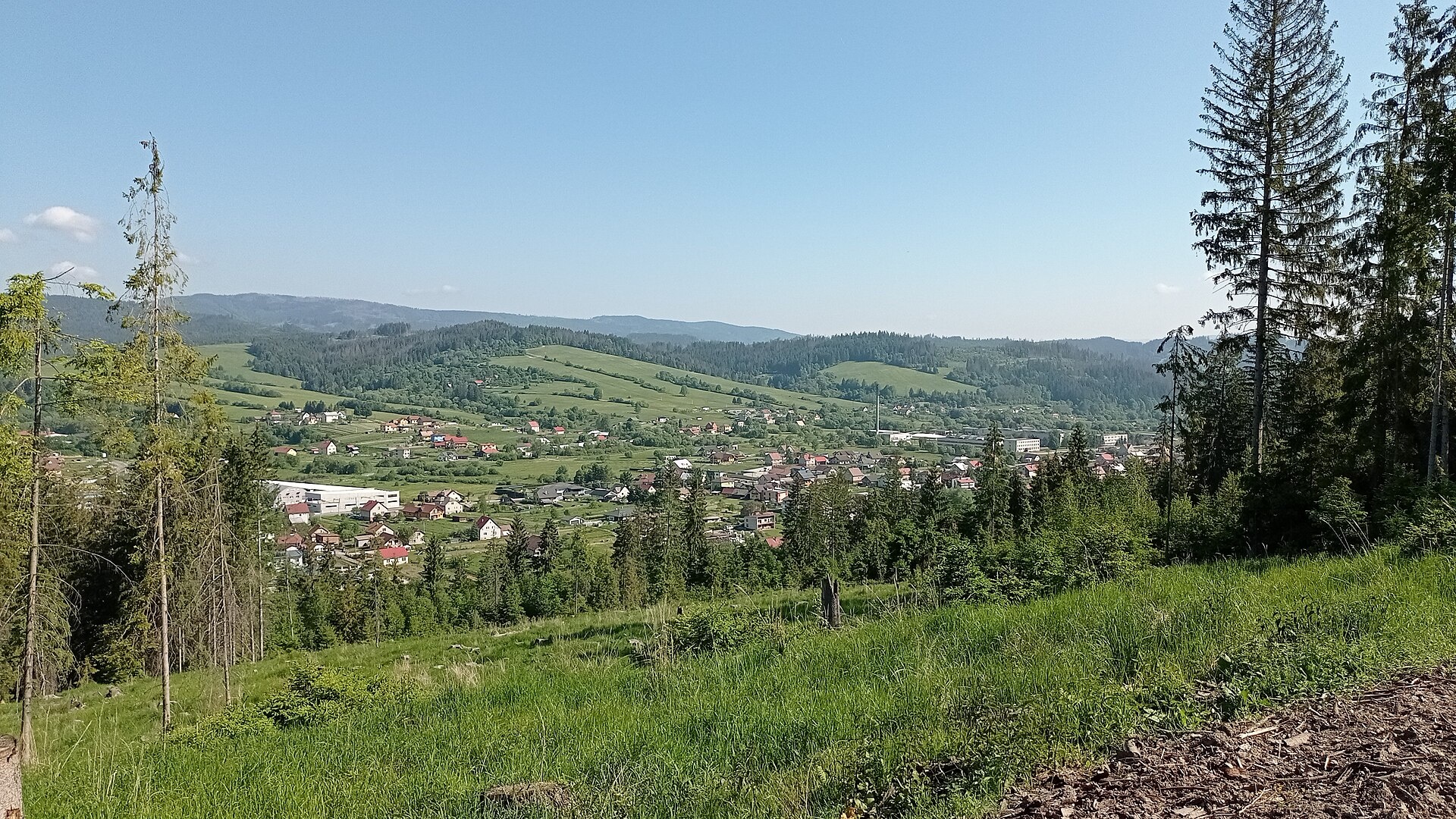
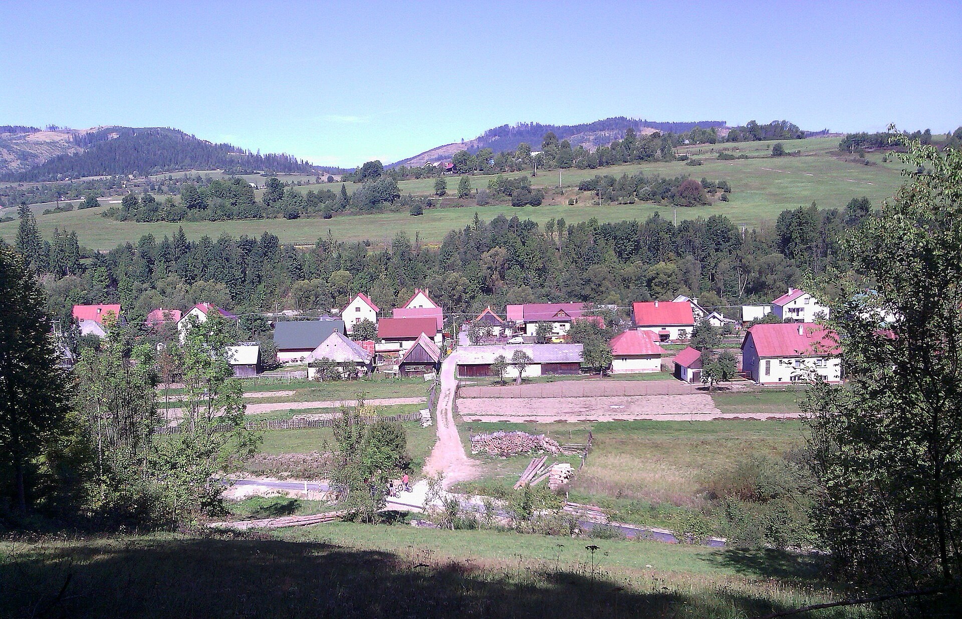
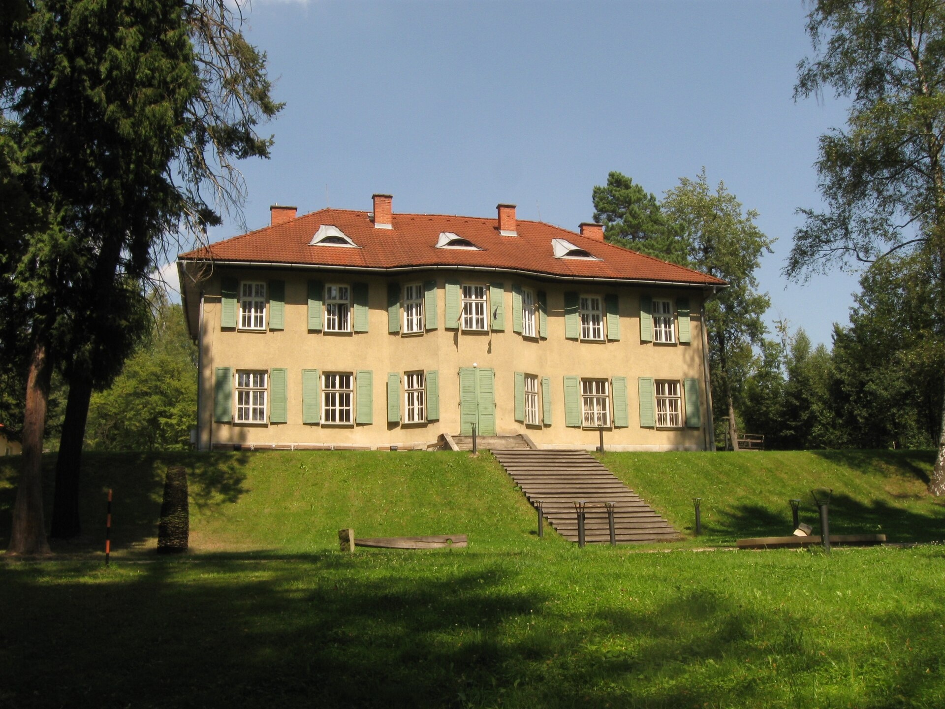
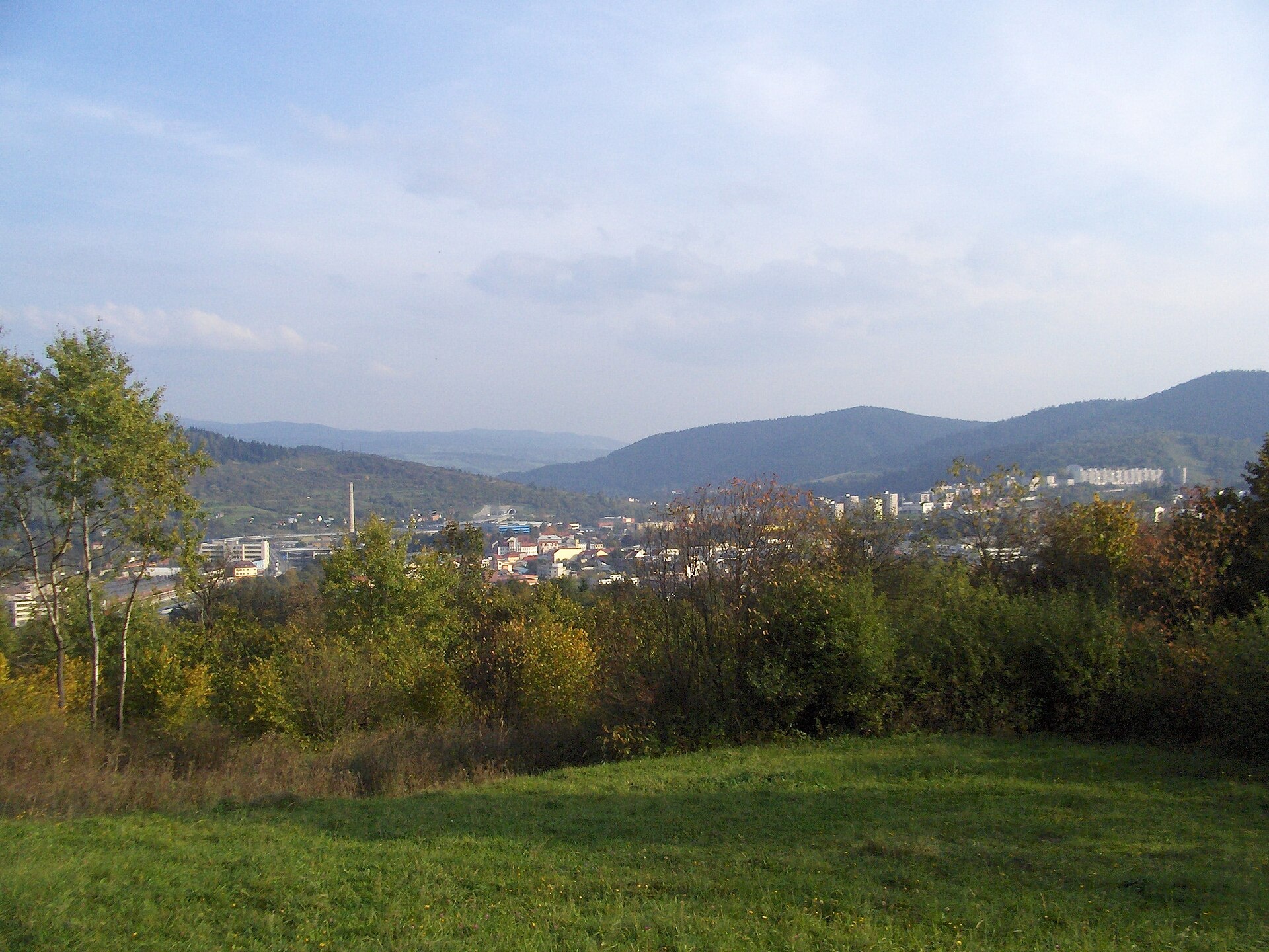
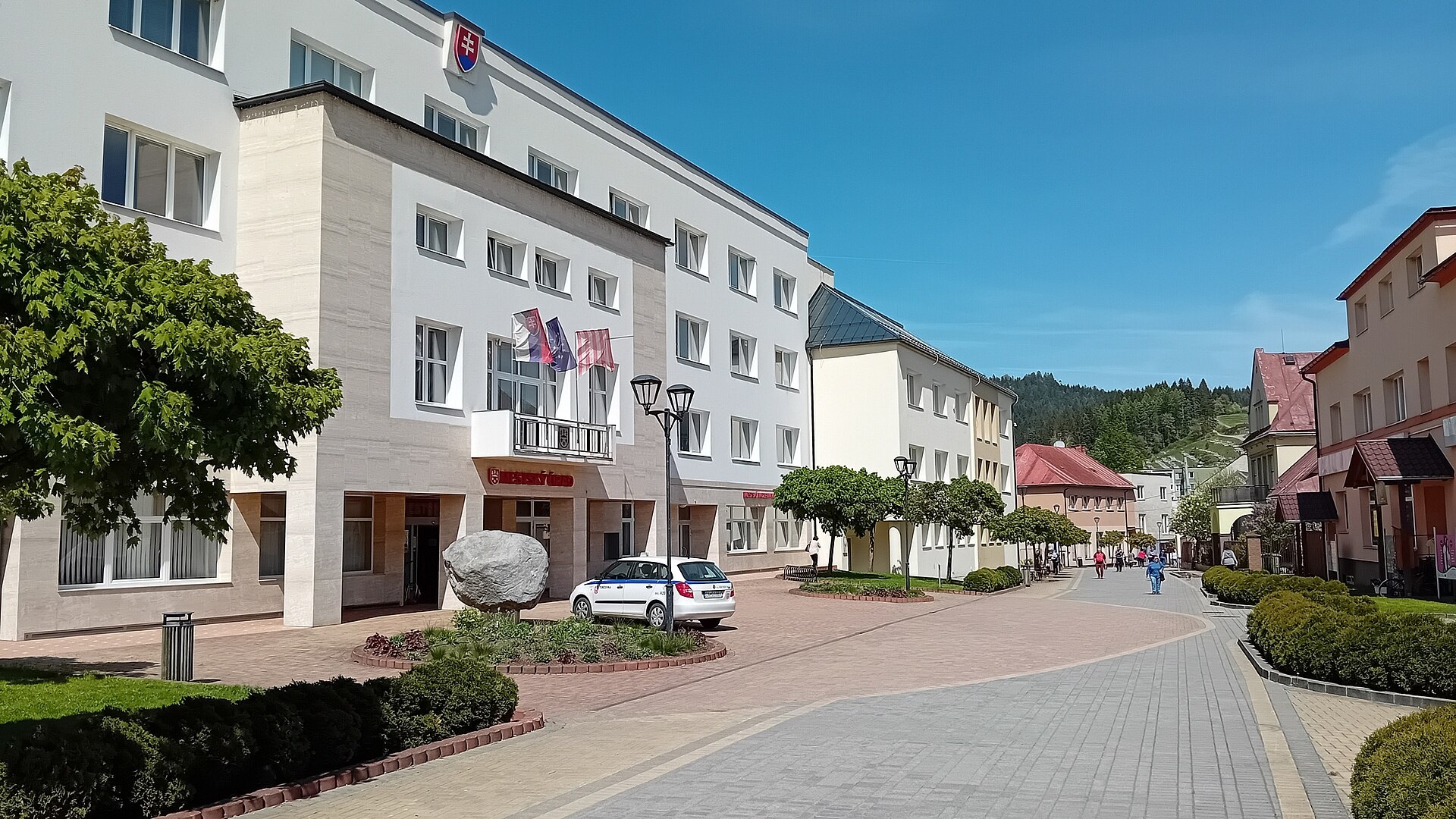
Photos: Raková (Hornokysučan, CC BY-SA 4.0); Nová Bystrica (Nelliette, CC BY-SA 3.0); Oščadnica (Samuel Mudrík, CC BY-SA 4.0); Čadca (JosephySC at English Wikipedia, Public domain); Turzovka (Vojtasekd, CC BY 4.0)
Čadca District is an administrative district in the Žilina region of northern central Slovakia. Its centre is the town of Čadca. The district is part of the historical Kysuce region, inhabited by Slovaks and the Goral ethnic group, who speak a dialect of Polish. The district was first formed in 1918, with its current borders established in the mid-20th century. It includes 20 villages and three towns: Čadca, Turzovka, and Krásno nad Kysucou.
The area is mostly mountainous, featuring the Bystrická brázda, Vojenné, Krasňanská basin, Raková hills, Rača, Jablunkovské intermountain, and Jaworzyna Beskids. Forests cover a significant part of the district. The Nová Bystrica reservoir is a notable feature. Čadca District borders both the Czech Republic and Poland.
On karpaty.rocks, the district offers a variety of sites in towns and villages such as Makov, Oščadnica, Nová Bystrica, Čadca, Klubina, Vysoká nad Kysucou, Klokočov, Svrčinovec, Raková, Čierne, Dlhá nad Kysucou, and Krásno nad Kysucou. There are over 50 hiking trails, including routes to Veľká Rača, mountain huts Kminek, LKJ Zlín, Masarykova chata, the Kysuce Village Museum in Vychylovka, a farm in Raková, and the summit of Veľká Rača.
Getting there from Ukraine
From Uzhhorod to Žilina ≈330 km, ≈4 h 20 min without queues: Uzhhorod – Vyšné Nemecké → I/19 to Košice → D1 via Prešov, Poprad, Liptovský Mikuláš and Ružomberok (≈17 km on I/18 between D1 sections) → Žilina. To Terchová ≈314 km, ≈4 h 15 min: from the D1 onto I/70 and II/583. From Lviv through Poland: M-10 → Krakovets – Korczowa → A4 to Kraków → S7/DK7 to Chyżne – Trstená → R3, I/59 to Dolný Kubín → II/583 via Terchová to Žilina: to Terchová ≈493 km (≈6 h 30 min), to Žilina ≈518 km (≈7 h). Via the tolled A4 Kraków – Katowice, S1 and D3: ≈533 km, ≈6 h 35 min. The D1 requires an e-vignette (eznamka.sk).
Sources: Wikipedia, Wikidata, OpenStreetMap, Karpaty.rocks data.
Towns and villages
 Makov12 trails, 3 mountain huts and shelters
 Oščadnica10 trails
 Nová Bystrica8 trails, 1 sight
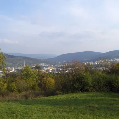 Čadca6 trails, 1 peak
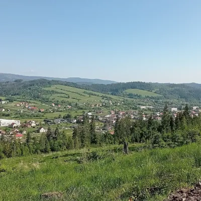 Raková2 trails, 1 peak, 1 craft place
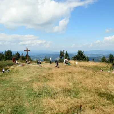 Klubina3 trails, 1 sight
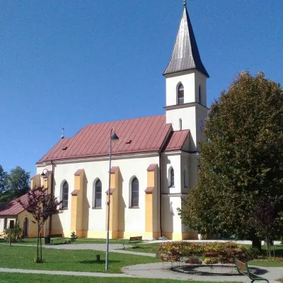 Čierne3 trails
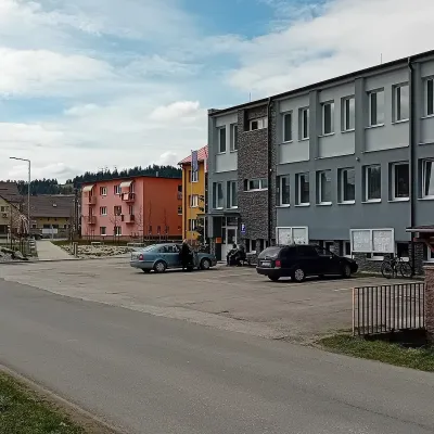 Svrčinovec3 trails
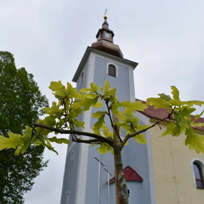 Vysoká nad Kysucou3 trails
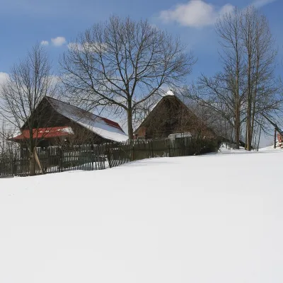 Klokočov3 trails
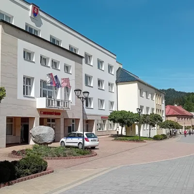 Turzovka2 trails
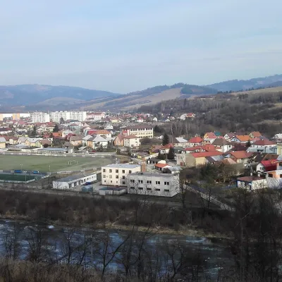 Krásno nad Kysucou2 trails
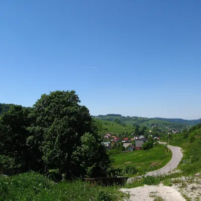 Skalité2 trails
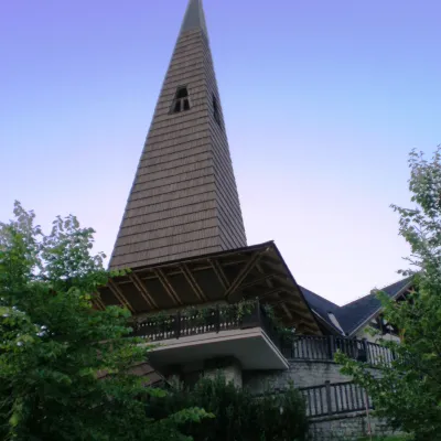 Radôstka2 trailsDlhá nad Kysucou2 trails
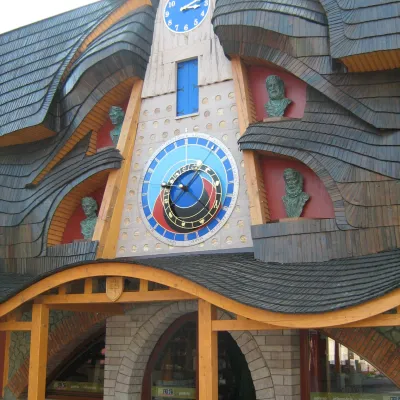 Stará Bystrica1 trail
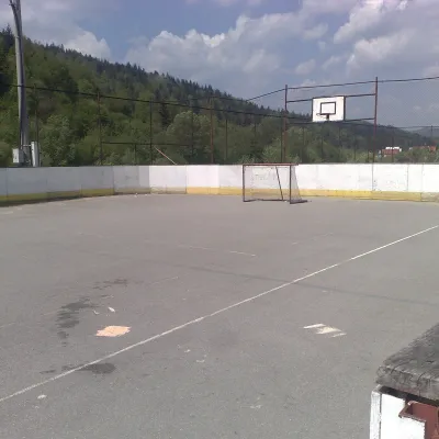 Zborov nad Bystricou1 trail
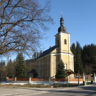 Zákopčie1 trail
Getting there from Ukraine
Border crossings
- Uzhhorod – Vyšné Nemecké — road, 24/7
- Malyi Bereznyi – Ubľa — road, 24/7 For cars and buses; pedestrians not confirmed by the Ukrainian border service, lorries up to 3.5 t.
- Mali Selmentsi – Veľké Slemence (pedestrian) — pedestrian, 09:00–21:00 Kyiv time Pedestrians and cyclists only; inconvenient for the Tatras without onward transport.
- Chop – Čierna nad Tisou (rail) — rail, 24/7
By car
From Uzhhorod to Žilina ≈330 km, ≈4 h 20 min without queues: Uzhhorod – Vyšné Nemecké → I/19 to Košice → D1 via Prešov, Poprad, Liptovský Mikuláš and Ružomberok (≈17 km on I/18 between D1 sections) → Žilina. To Terchová ≈314 km, ≈4 h 15 min: from the D1 onto I/70 and II/583. From Lviv through Poland: M-10 → Krakovets – Korczowa → A4 to Kraków → S7/DK7 to Chyżne – Trstená → R3, I/59 to Dolný Kubín → II/583 via Terchová to Žilina: to Terchová ≈493 km (≈6 h 30 min), to Žilina ≈518 km (≈7 h). Via the tolled A4 Kraków – Katowice, S1 and D3: ≈533 km, ≈6 h 35 min. The D1 requires an e-vignette (eznamka.sk).
Checked 23.10.2026; border crossing hours and timetables change — check before you travel.
