Turzovka
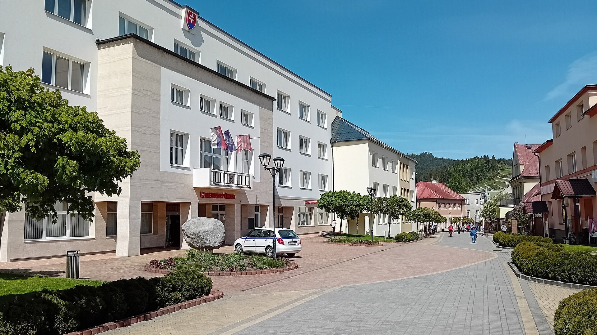
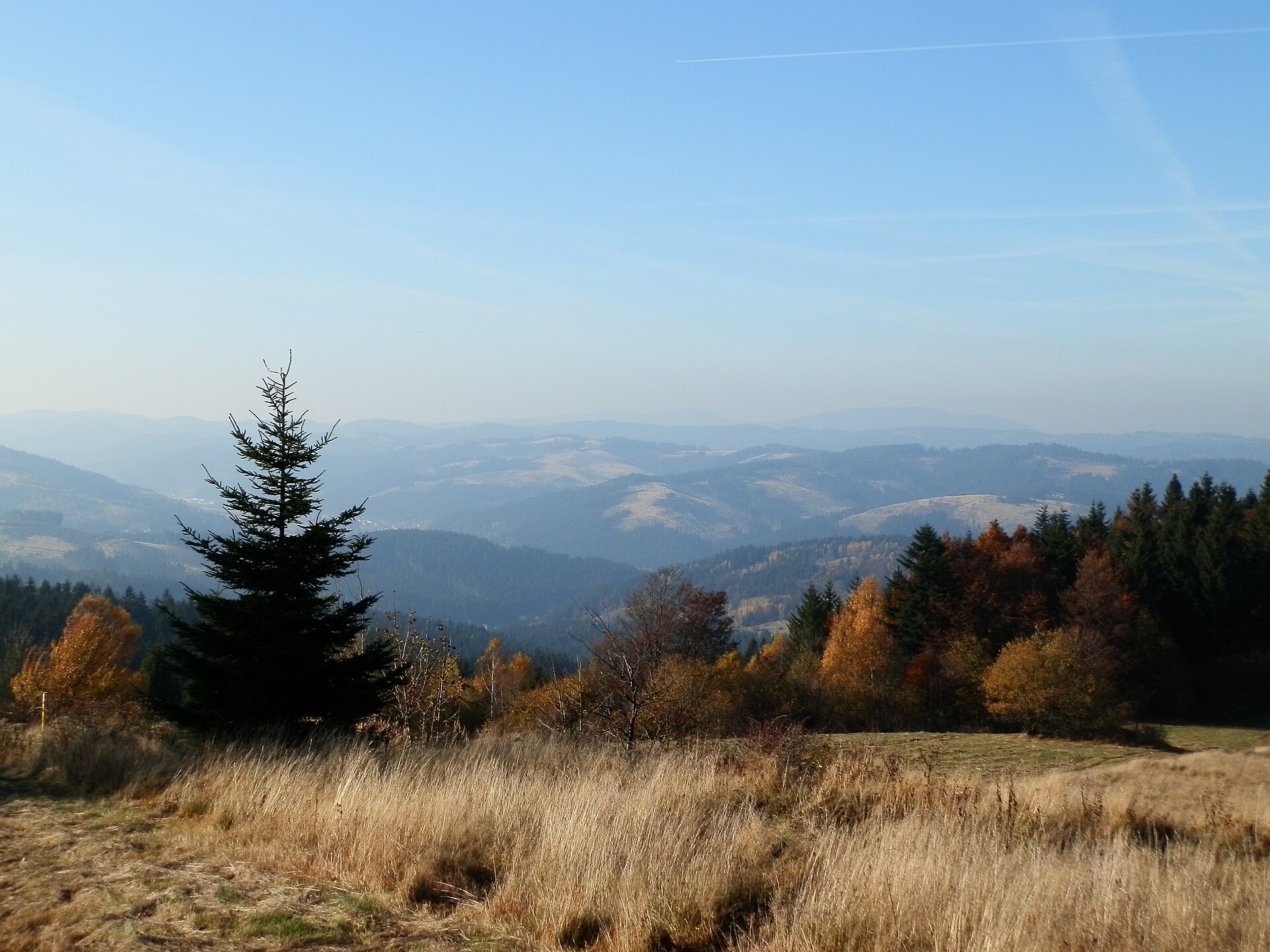
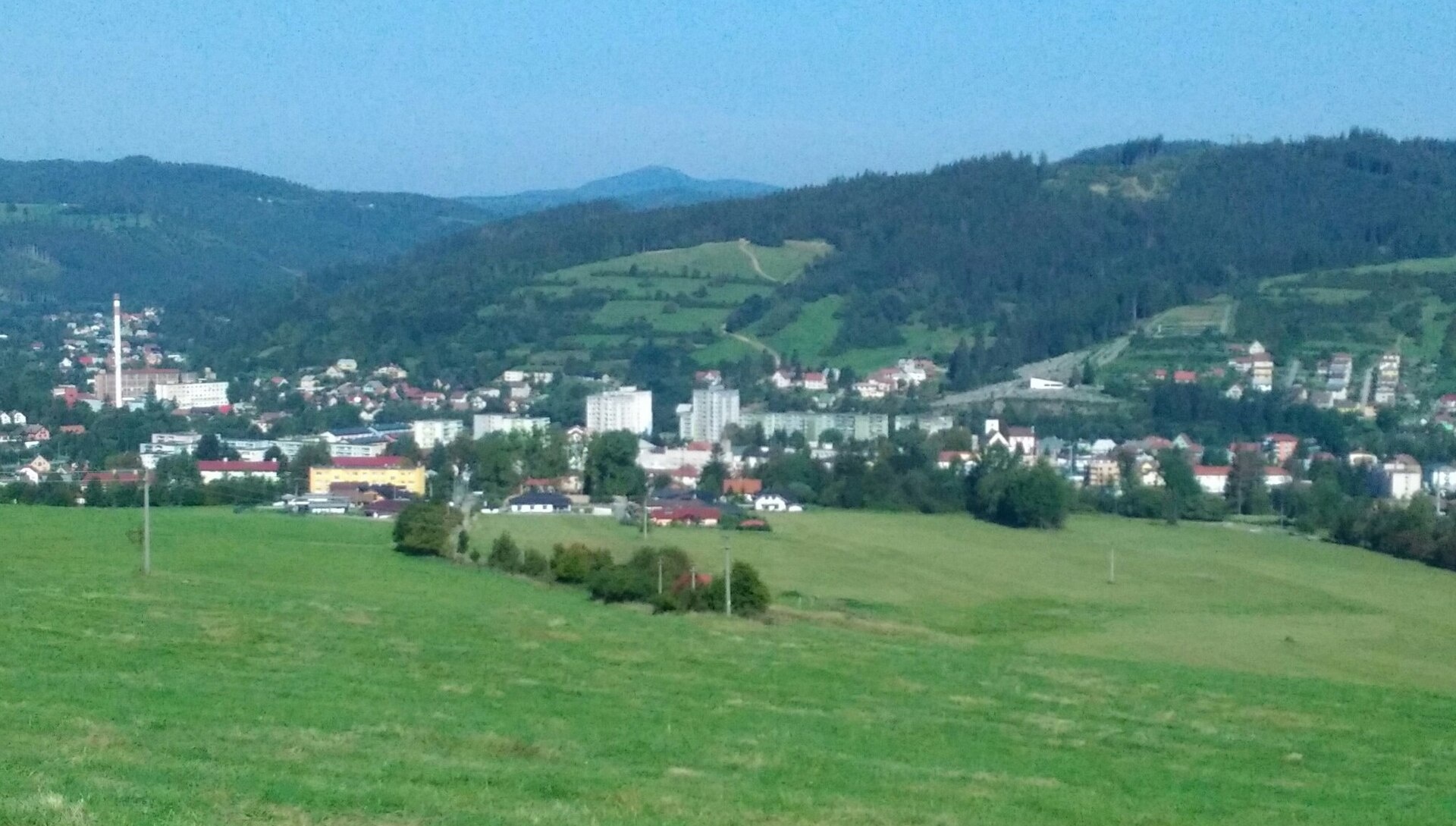
Photos: Vojtasekd, CC BY 4.0 (Wikimedia Commons); Michal Jakubský, CC BY 3.0 (Wikimedia Commons); Hornokysučan, CC BY-SA 4.0 (Wikimedia Commons)
Turzovka is a town in Slovakia.
Elevation: about 522 m above sea level. Population: 6,769 (2025). Mountains nearby: Moravian-Silesian Beskids.
Here and nearby on the site: 2 trails.
Facts: Wikidata, OpenStreetMap. More on Wikipedia
Trails nearby
All trails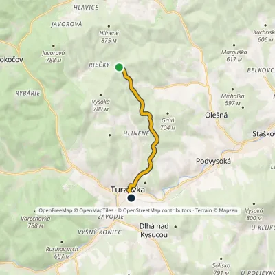 EasyOne-dayMarkedTurzovka Osada HlinenéElevation profile467–747 m6.2 kmascent 43 m≈ 1.5 h walkingunder 1 km from the centre
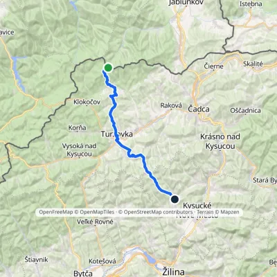 HardTwo-dayMarkedNesluša ČuboňovElevation profile444–1 017 m29.6 kmascent 877 m≈ 9 h walkingunder 1 km from the centre
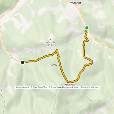 EasyOne-dayMarkedTurzovka, Turkov Dlhá nad KysucouElevation profile535–834 m5.8 kmascent 299 m≈ 2 h walking2.9 km from the centre
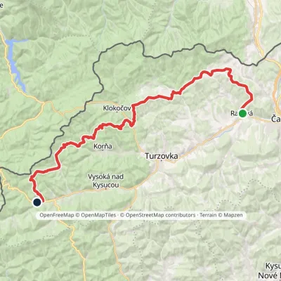 HardMulti-dayMarkedKysucká magistrálaElevation profile423–875 m42.4 kmascent 1 766 m4.5 km from the centre
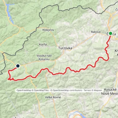 HardMulti-dayMarkedČadca, station Makov, hutElevation profile411–962 m48.7 kmascent 1 469 m4.6 km from the centre
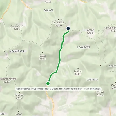 EasyOne-dayMarkedNad Riekou Nad VrchriekouElevation profile438–760 m4.2 kmascent 322 m≈ 1.5 h walking5.3 km from the centre
Peaks nearby
All peaks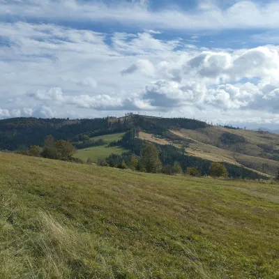 PeakChotárny kopecČadcaaltitude 906 m11 km from the centreChotárny kopec is a summit 906 m high in the north-eastern Javorníky, Slovakia, the second highest after Kazícka Kýčera in the Rakovská hornatina part of the range.
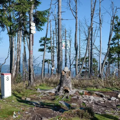 PeakVeľký PolomRakováaltitude 1 067 m12 km from the centreVeľký Polom (Czech Velký Polom, Polish Wielki Połom) is a 1,067 m mountain on the Slovak–Czech border and the highest summit of the Slovak part of the Moravian...
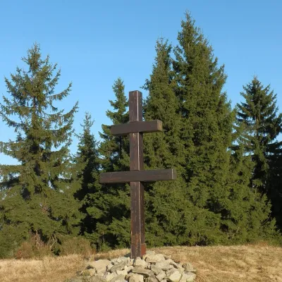 PeakVeľký Javorníkaltitude 1 072 m21 km from the centreVeľký Javorník (Polish Wielki Jawornik) is the highest peak of the Javorníky range at 1,072 m (more precisely 1,071.5 m).
What to visit
All Cheese dairies & pasturesRaková farm in Kysuce: bryndza, žinčica and cheese cakesRaková9.2 km from the centreKysuce is a hilly region in north-western Slovakia, near the Polish and Czech borders, with scattered hillside hamlets (“kopanice”) and an old tradition of keeping...
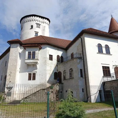 MuseumBudatín Castle — Považie Museum and Tinkers' ExhibitionŽilina20 km from the centreBudatín Castle (Budatínsky hrad, also Budatínsky zámok) stands in the Budatín district of Žilina, where the Kysuca flows into the Váh.
 Cheese dairies & pasturesFarma Brezany near Žilina: hand-stretched cheese and a distilleryBrezany24 km from the centreBrezany is a village a few kilometres south of Žilina, on the edge of the Žilina basin and the foothills leading towards the Rajec valley and the Strážov Hills.
Huts, shelters and springs nearby
Getting there from Ukraine
Border crossings
- Uzhhorod – Vyšné Nemecké — road, 24/7
- Malyi Bereznyi – Ubľa — road, 24/7 For cars and buses; pedestrians not confirmed by the Ukrainian border service, lorries up to 3.5 t.
- Mali Selmentsi – Veľké Slemence (pedestrian) — pedestrian, 09:00–21:00 Kyiv time Pedestrians and cyclists only; inconvenient for the Tatras without onward transport.
- Chop – Čierna nad Tisou (rail) — rail, 24/7
By car
From Uzhhorod to Žilina ≈330 km, ≈4 h 20 min without queues: Uzhhorod – Vyšné Nemecké → I/19 to Košice → D1 via Prešov, Poprad, Liptovský Mikuláš and Ružomberok (≈17 km on I/18 between D1 sections) → Žilina. To Terchová ≈314 km, ≈4 h 15 min: from the D1 onto I/70 and II/583. From Lviv through Poland: M-10 → Krakovets – Korczowa → A4 to Kraków → S7/DK7 to Chyżne – Trstená → R3, I/59 to Dolný Kubín → II/583 via Terchová to Žilina: to Terchová ≈493 km (≈6 h 30 min), to Žilina ≈518 km (≈7 h). Via the tolled A4 Kraków – Katowice, S1 and D3: ≈533 km, ≈6 h 35 min. The D1 requires an e-vignette (eznamka.sk).
Checked 23.10.2026; border crossing hours and timetables change — check before you travel.
