Veľký Javorník
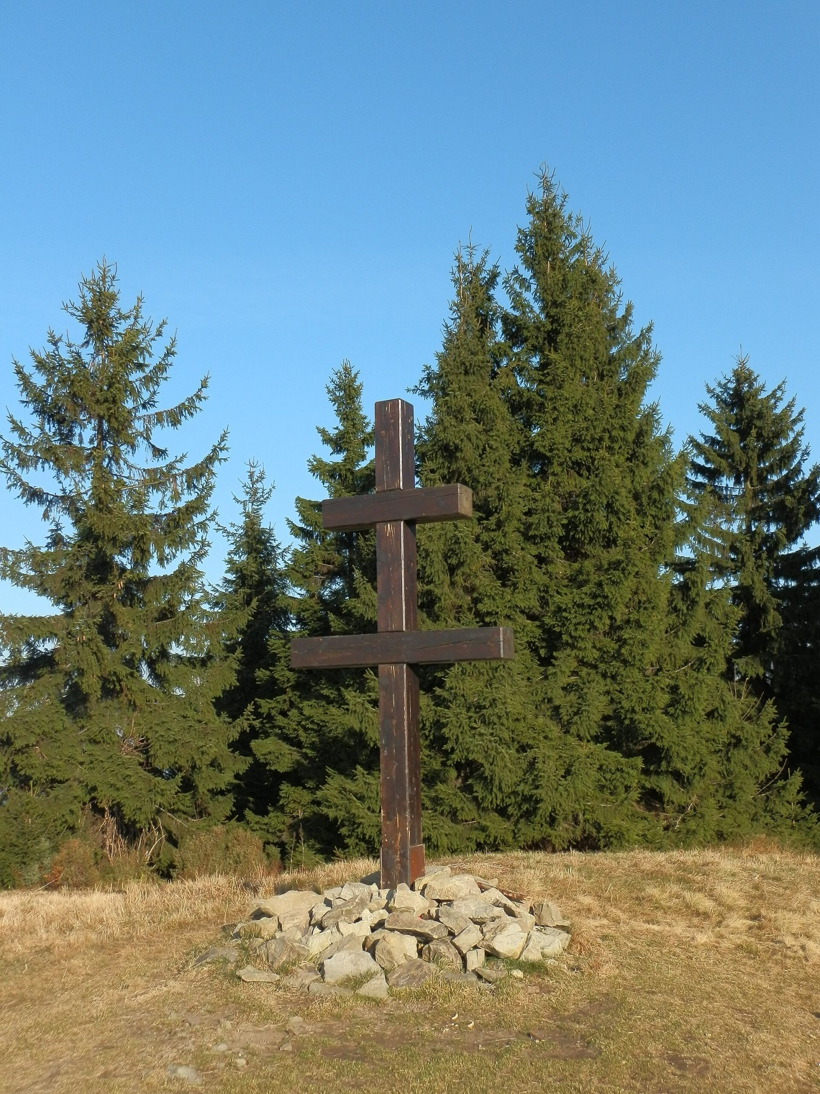
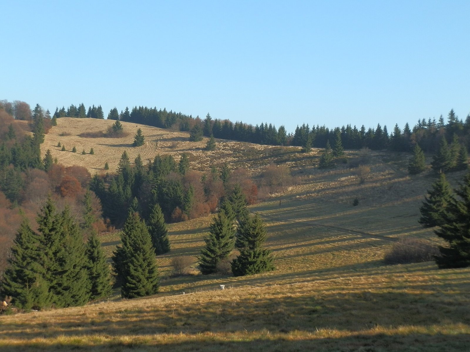
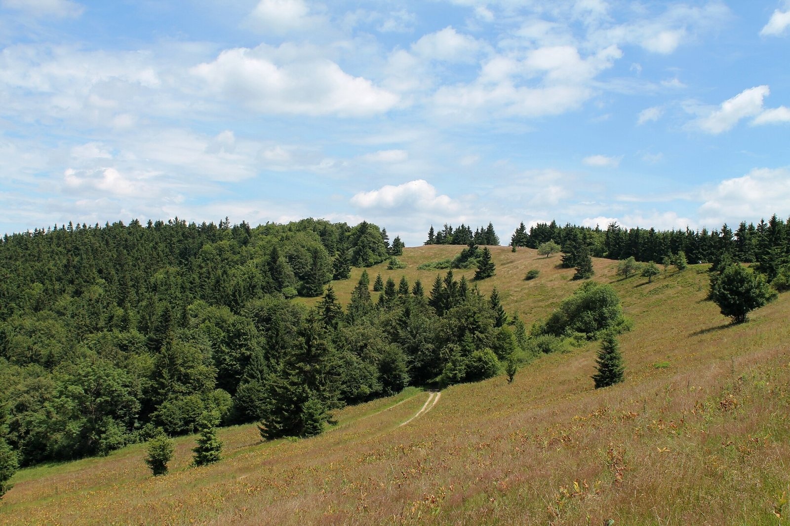
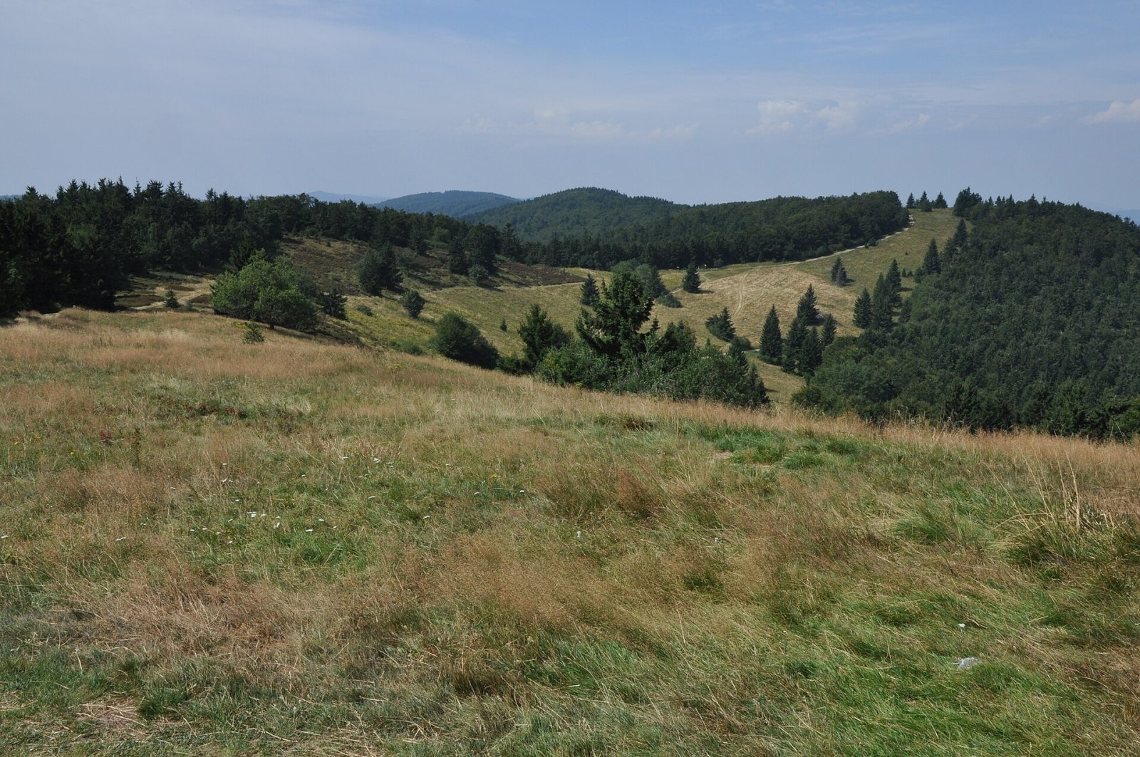
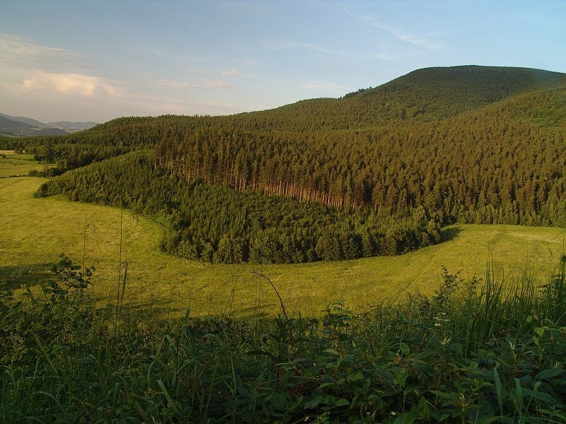
Veľký Javorník (Polish Wielki Jawornik) is the highest peak of the Javorníky range at 1,072 m (more precisely 1,071.5 m). The mountain stands in Slovakia, about 15 km north-west of Bytča, close to the Czech border, which runs half a kilometre to a kilometre to the north across the slope. The boundaries of three districts — Čadca, Bytča and Považská Bystrica, and so of the Žilina and Trenčín regions — meet on the summit. The mountain lies in the cadastres of Makov, Štiavnik and Papradno, within the Kysuce Protected Landscape Area. Its ridge neighbours are Stratenec (1,055 m) to the west and Hričovec (1,059 m) to the east.
The Javorníky ridge runs roughly west to north-east and forms the watershed between the Váh and the Morava: the southern slopes feed the Štiavnik and Papradnianka streams flowing straight into the Váh, the northern ones the Podťatý potok, which carries water via the Vsetínská Bečva to the Morava. The ridge and the summit are mostly meadows, so there are many views; in summer gentians bloom on the grassland and junipers grow here.
Getting there / trails
- Red markings — the main Javorníky ridge trail over the summit: from the Makov Pass via the Veľký Javorník saddle or from Malý Javorník. The long-distance Via Slovakia, Via Czechia and the Czech «Stezka Českem» follow it too.
- Yellow markings from the hamlet of Podkýčera on the Slovak side.
- From the Czech side the easiest way is the green trail from Malé Karlovice up to the ridge (about 4.5 km), then the red one for about 1 km to the summit.
The Kasárne recreation settlement with ski lifts and several chalets lies near the summit; in winter the Beskydy–Javorníky cross-country ski trail runs along the ridge.
The view
The grassy summit offers distant views: the Moravian-Silesian Beskids and the Lesser Fatra, the Váh valley, the Súľov Rocks and Strážov Mountains, the Kysuce Highlands, and in the Czech Republic the Vsetín Hills. In good visibility you can see even the Hrubý Jeseník and the Silesian Beskids. A cross stands on the summit.
About the Javorníky
The Javorníky belong to the Slovak-Moravian Carpathians, part of the Outer Western Carpathians. The range covers 1,113 km² — 884 km² in Slovakia and 229 km² in Moravia — and in the west partly forms the Slovak–Czech border. It is built of flysch, alternating claystones and sandstones. After Veľký Javorník the highest peaks are Hričovec, Stratenec, Čemerka and Malý Javorník, all just over 1,000 m. Spruce forests prevail higher up, beech lower down; in recent years Kysuce spruce stands have been hit hard by bark beetle. The Kysuce Protected Landscape Area (1984, over 65,000 ha) marks the western limit of bear, wolf and lynx in Slovakia. Snow lies here 60–100 days a year.
Nature
On the north-western slope below the summit lies the Veľký Javorník National Nature Reserve, declared in 1967 over 14 ha — the oldest reserve in the Kysuce region. It protects a rare, well-preserved fir-beech forest with spruce of near-primeval character; the treeless summit is built of sandstone. Near the trail by the summit is the «Javornícka studnička Prales» spring.
Safety
The Javorníky are low but forested and windy mountains; the ridge is long, the weather changes quickly, and in winter snow is deep. Slovak Mountain Rescue Service (HZS): 18 300 (+421 18 300) or 112 (which also works on the Czech side).
Photos: Michal Jakubský, CC BY 3.0; Michal Jakubský, CC BY 3.0; Harold, CC BY-SA 3.0; Ben Skála, CC BY-SA 3.0; Dodoni, CC BY-SA 3.0 — Wikimedia Commons.
Getting there from Ukraine
Border crossings
- Uzhhorod – Vyšné Nemecké — road, 24/7
- Malyi Bereznyi – Ubľa — road, 24/7 For cars and buses; pedestrians not confirmed by the Ukrainian border service, lorries up to 3.5 t.
- Mali Selmentsi – Veľké Slemence (pedestrian) — pedestrian, 09:00–21:00 Kyiv time Pedestrians and cyclists only; inconvenient for the Tatras without onward transport.
- Chop – Čierna nad Tisou (rail) — rail, 24/7
By car
From Uzhhorod to Žilina ≈330 km, ≈4 h 20 min without queues: Uzhhorod – Vyšné Nemecké → I/19 to Košice → D1 via Prešov, Poprad, Liptovský Mikuláš and Ružomberok (≈17 km on I/18 between D1 sections) → Žilina. To Terchová ≈314 km, ≈4 h 15 min: from the D1 onto I/70 and II/583. From Lviv through Poland: M-10 → Krakovets – Korczowa → A4 to Kraków → S7/DK7 to Chyżne – Trstená → R3, I/59 to Dolný Kubín → II/583 via Terchová to Žilina: to Terchová ≈493 km (≈6 h 30 min), to Žilina ≈518 km (≈7 h). Via the tolled A4 Kraków – Katowice, S1 and D3: ≈533 km, ≈6 h 35 min. The D1 requires an e-vignette (eznamka.sk).
Checked 23.10.2026; border crossing hours and timetables change — check before you travel.
Location on the map
Water and shelter nearby
- Spring below Veľký Javorník (south-west slope)260 m · Not verified · 1 034 m
- Javornícka studnička Prales Spring280 m · Not verified · 1 025 m
- Spring below Černá hora (south slope)900 m · Not verified · 1 012 m
- Spring below Veľký Javorník (north slope)1.2 km · Not verified · 923 m
- LKJ Zlín Tourist Shelter1.4 km · Standing · 928 m
- Spring below Veľký Javorník (north-east slope)1.5 km · Not verified · 978 m
- Spring below Stratenec (south-west slope), 990 m2.7 km · Not verified · 990 m
- Spring below Stratenec (south-west slope), 997 m2.8 km · Not verified · 997 m
Comments
Trails nearby
All trails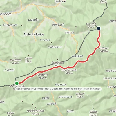 EasyOne-dayMarkedSaddle under Lemešná Malý JavorníkElevation profile798–1 075 m10.8 kmascent 168 m≈ 3 h walkingunder 1 km from Veľký Javorník
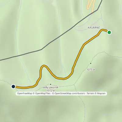 EasyOne-dayMarkedKasárne, huts Saddle GežovElevation profile963–1 046 m2.5 kmascent 84 m≈ 45 min walkingunder 1 km from Veľký Javorník
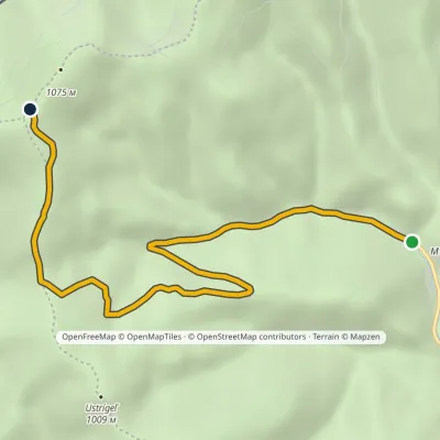 EasyOne-dayMarkedSedlo pod Veľkým Javorníkom Štiavnik, RáztokaElevation profile587–1 067 m6.4 kmascent 480 m≈ 2.5 h walkingunder 1 km from Veľký Javorník
Nearby attractions
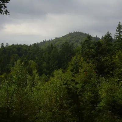 PeakMakytaLazy pod Makytoualtitude 923 m16 km from Veľký JavorníkMakyta (German Makita) is the highest and most massive summit of the western Javorníky, 923 m high (923.3 m according to Slovak and Czech data).
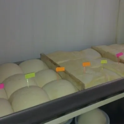 Cheese dairies & pasturesSalaš Orlové near Považská Bystrica: cheese, bryndza, žinčicaPovažská Bystrica21 km from Veľký JavorníkOrlové is a part of the town of Považská Bystrica on the left bank of the Váh, at the foot of hills that rise into the Strážov Hills.
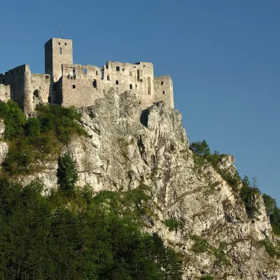 CastleStrečno CastleStrečno39 km from Veľký JavorníkThe castle guarding the gate of the Malá Fatra Strečno Castle (Hrad Strečno) stands on a 103 m limestone crag above the River Váh, 11 km from Žilina on the road to...
Craft nearby
All craft places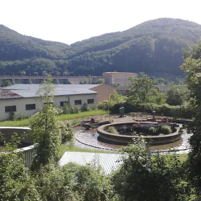 Water parks & thermal poolsNimnica: a mineral-water spa above the Nosice reservoirNimnica21 km from Veľký JavorníkNimnica is one of Slovakia's youngest spas, in the Váh valley between Púchov and Považská Bystrica. Its spa houses stand at about 300 m on a wooded spur of the...
 Cheese dairies & pasturesFarma Brezany near Žilina: hand-stretched cheese and a distilleryBrezany26 km from Veľký JavorníkBrezany is a village a few kilometres south of Žilina, on the edge of the Žilina basin and the foothills leading towards the Rajec valley and the Strážov Hills.
 Cheese dairies & pasturesRaková farm in Kysuce: bryndza, žinčica and cheese cakesRaková30 km from Veľký JavorníkKysuce is a hilly region in north-western Slovakia, near the Polish and Czech borders, with scattered hillside hamlets (“kopanice”) and an old tradition of keeping...
 Water parks & thermal poolsSpa Aphrodite thermal pools, Rajecké TepliceRajecké Teplice31 km from Veľký JavorníkHot mineral water rises here, and it feeds the Spa Aphrodite resort, whose thermal pools, saunas and Natural Spa zone are open not only to patients but to anyone with...
 Cheese dairies & pasturesSalaš Pružina: 100% sheep’s bryndza in the Strážov HillsPružina34 km from Veľký JavorníkPružina is a village in a picturesque valley of the Strážov Hills (Strážovské vrchy) west of Považská Bystrica.
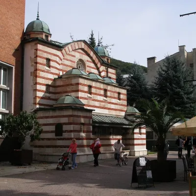 Water parks & thermal poolsTrenčianske Teplice: the Hammam and sulphur thermal bathsTrenčianske Teplice48 km from Veľký JavorníkTrenčianske Teplice is one of Slovakia's oldest spas, squeezed into a narrow wooded valley of the Strážov Mountains not far from Trenčín.
