Makyta
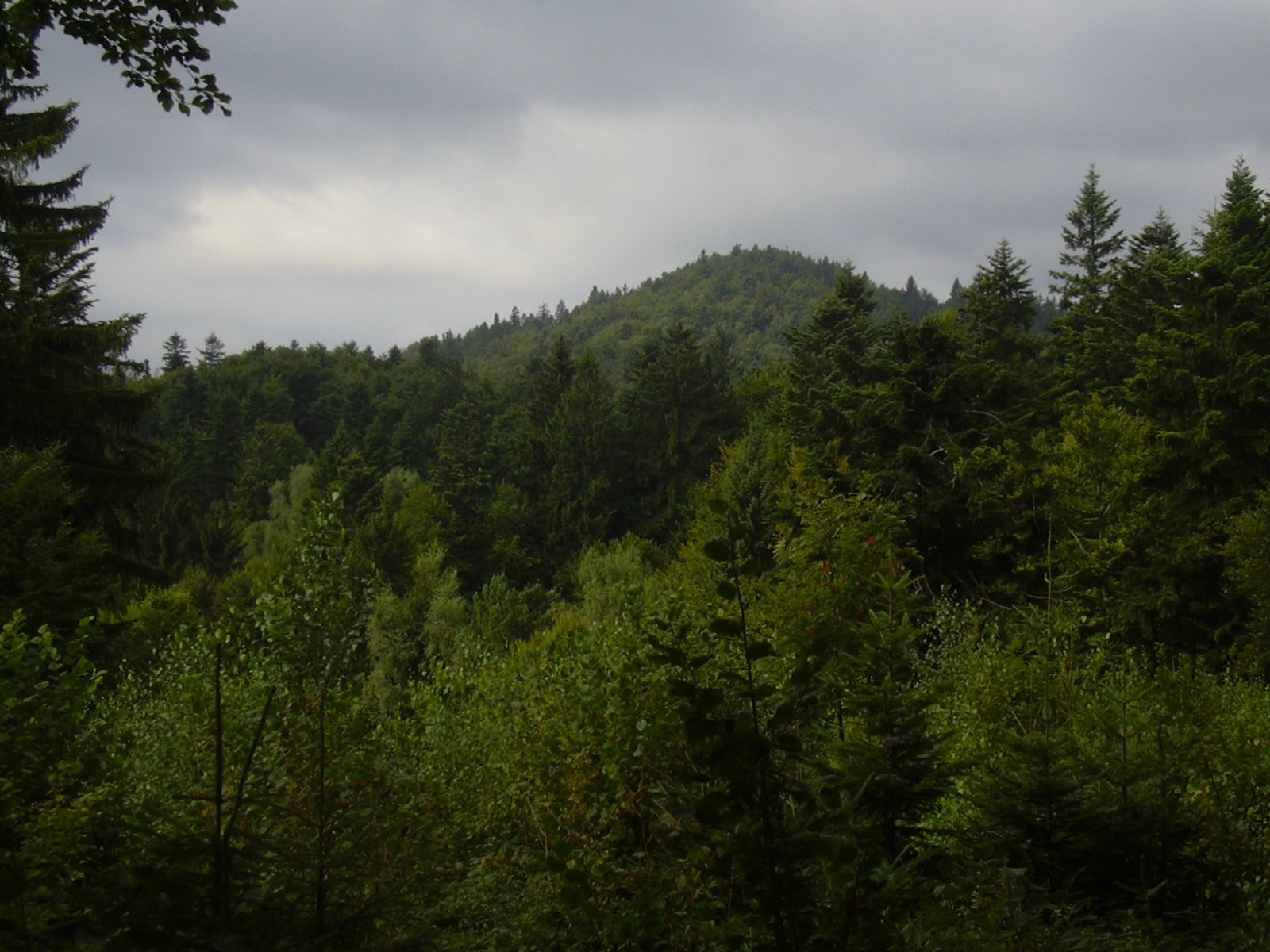
Makyta (German Makita) is the highest and most massive summit of the western Javorníky, 923 m high (923.3 m according to Slovak and Czech data). It stands on the border of Slovakia and Czechia, between the Trenčín and Zlín Regions, on the land of the municipalities of Lazy pod Makytou and Lysá pod Makytou (Púchov District) and Valašská Senice and Huslenky (Vsetín District). The main ridge of the Javorníky carries both the state border and the watershed between the Váh and the Morava here. On the Slovak side, the hamlets of Lazy pod Makytou – Dlhé, Krivé, Makytka, Fujerovci – lie below the mountain.
The Makyta massif in the broad sense covers about 60 km², roughly half in Czechia and half in Slovakia. It is the last element of the Javorníky chain when heading south-west: the Papajské sedlo saddle (691 m), 2.6 km to the north-east, separates it from the central part of the ridge, while to the south-west a ridge just over 10 km long gradually descends to the Lyský Pass (510 m), which separates the Javorníky from the White Carpathians. Long ridges of 4–10 km, 600–800 m high, run from the summit in all directions, separated by deep, winding valleys. The upper parts of the mountain form a broad, fairly flat plateau at 820–860 m, above which a slightly flattened summit dome rises in the east.
The south-eastern slopes drain via the Beňadín and Tisovský streams to the Biela voda and on to the Váh. On the Moravian side, at about 840 m, almost directly below the summit, rises the Senice river, which flows into the Bečva and on into the Morava. On the northern slope of the summit dome, at about 780 m, there is a sulphurous mineral spring.
How to get there / routes
Several marked trails lead to the summit from the Slovak and Czech sides. All are fairly long because they start in villages at the foot of the massif, and the elevation gain exceeds 400 m, so the ascent is considered fairly demanding.
- Red trail – along the border ridge from Papajské sedlo and from the saddle below Radošov (the Pulčín – Papajské sedlo route).
- Green trail – from the hamlet of Krivé in Lazy pod Makytou (Slovak side) or from Huslenky (Czech side).
- Blue trail – from Francova Lhota (Czech side).
- Yellow trail – from Lysá pod Makytou.
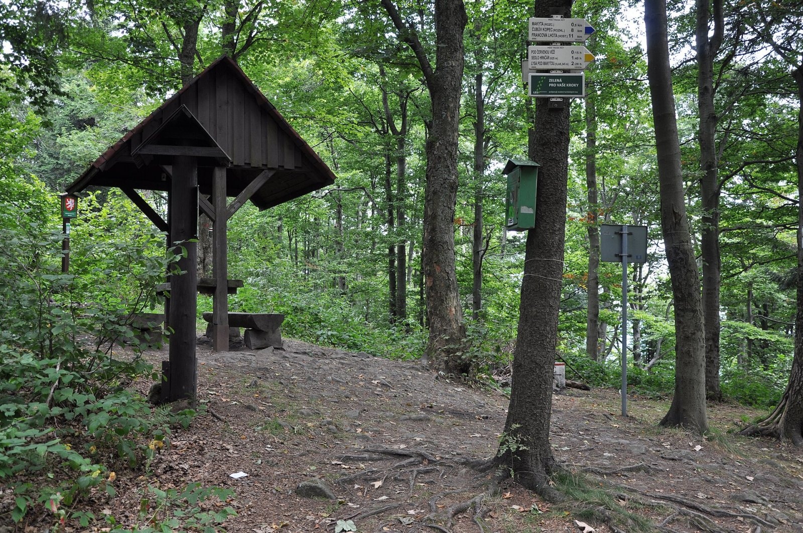
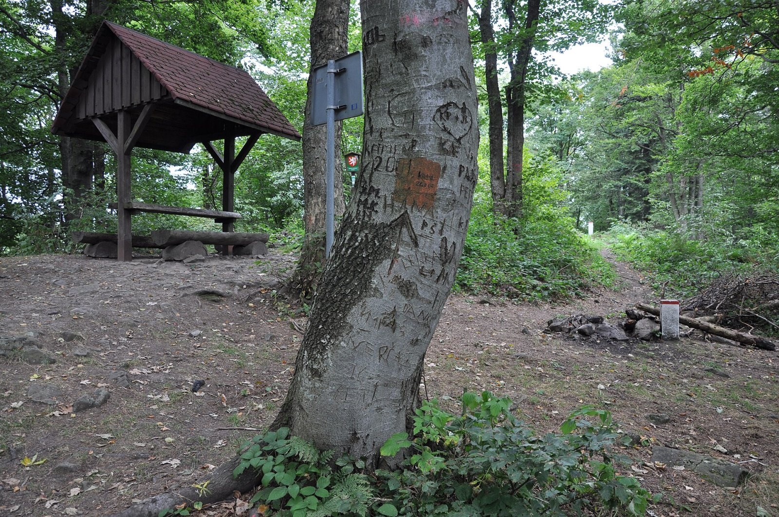
Sources give no official walking times. By the red trail from Papajské sedlo there is a well with a plentiful spring. On the summit you will find a trail junction, the 4th stop of the Javorníky – West educational trail, a wooden hikers' shelter with a table and benches, and a summit book.
What you can see from the summit
To be honest: almost nothing. A wooden lookout tower once stood on the summit, but it was destroyed long ago and the forest now blocks the views. Because of the long approaches the mountain is not visited very often – people come for the quiet and the old forest rather than for a panorama.
Nature and history
The massif is largely forested. Continuous woodland covers mainly the northern part, while in the south it is broken up by old scattered settlement – family homesteads and isolated farms among former pastures and hay meadows, reaching up to 650–700 m. The forests on Makyta's slopes have kept a near-natural character: old fir-beech stands with natural regeneration dominate, mixed with spruce, sycamore maple, rowan and locally birch; higher up they turn into ravine forest. The spring flora is typical of Carpathian beech woods and very rich.
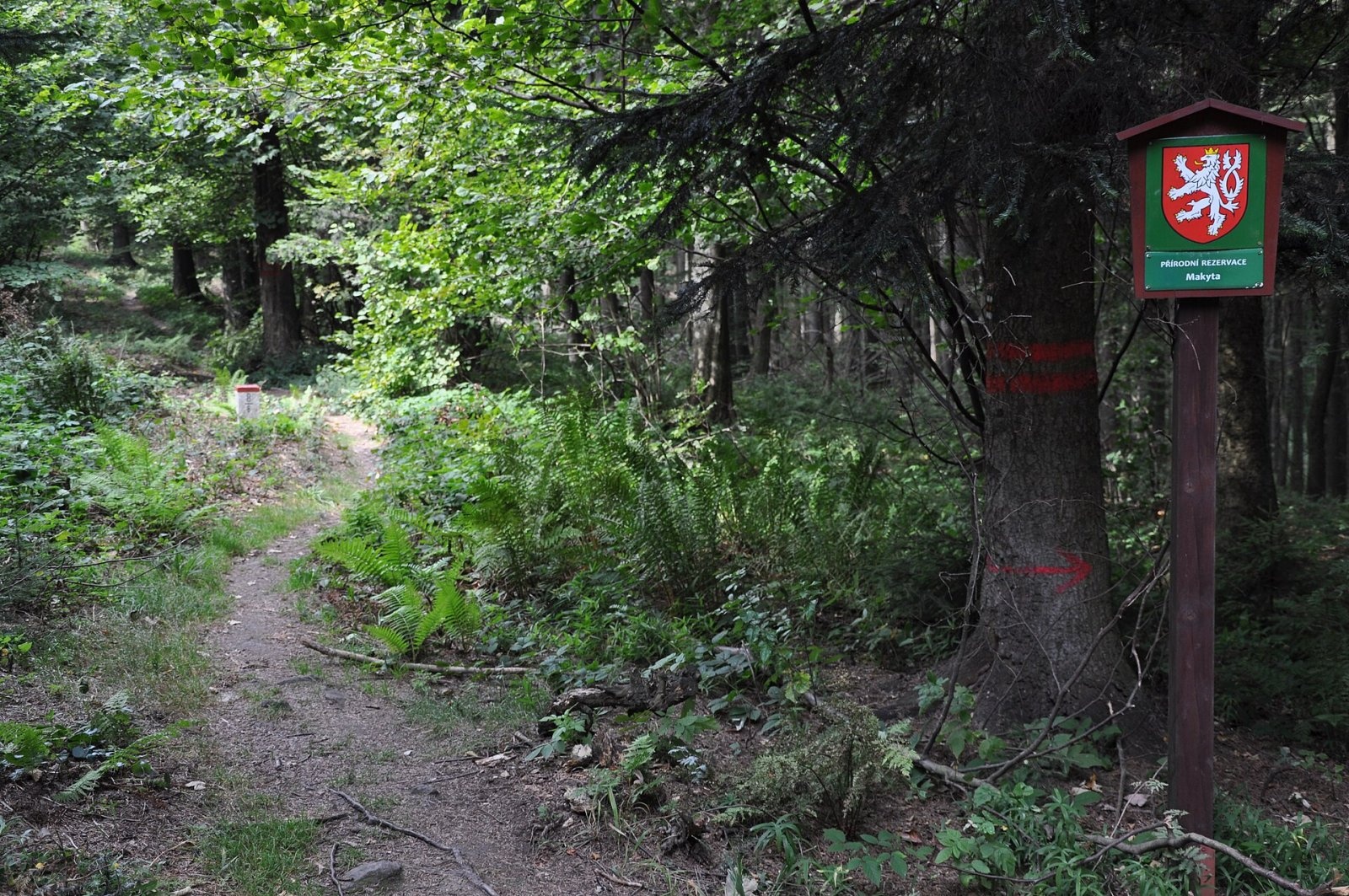
White-backed and three-toed woodpeckers and stock doves breed here. The three largest predators of this part of Europe have also been observed – the brown bear (1–2 animals every summer), the wolf and the lynx, which migrate from Slovakia to Moravia. The summit belongs to the first, most strictly protected zone of two protected landscape areas at once – the Czech Beskydy PLA and the Slovak Kysuce PLA. In 2008 the Makyta nature reserve was declared on 187 ha of the northern slopes.
Geologically the massif is built of Carpathian flysch – sandstones, conglomerates, claystones and marls from the Palaeocene and Eocene; the summit dome is formed mainly of sandstones and fine-grained conglomerates of the Middle Eocene Luhačovice beds.
Safety, season and rules
The approaches are long and wooded and there are no services on the summit, so plan your time and carry water and food. This is large-predator country: do not leave food around, walk in daylight and on marked trails. In the first protection zone and in the reserve, stay on the paths and do not pick plants. On the Slovak side help in the mountains comes from the Mountain Rescue Service HZS: 18 300 (+421 18 300); the single emergency number 112 works in both countries.
Interesting facts
- The well-known Slovak clothing factory Makyta Púchov is named after the mountain.
- Makyta is the last large massif of the Javorníky in the south-west, before the Lyský Pass and the White Carpathians.
Photos: Jiří Kadlec, Public domain; Ben Skála, CC BY-SA 3.0; Ben Skála, CC BY-SA 3.0; Ben Skála, CC BY-SA 3.0 — Wikimedia Commons.
Getting there from Ukraine
Border crossings
- Uzhhorod – Vyšné Nemecké — road, 24/7
- Malyi Bereznyi – Ubľa — road, 24/7 For cars and buses; pedestrians not confirmed by the Ukrainian border service, lorries up to 3.5 t.
- Mali Selmentsi – Veľké Slemence (pedestrian) — pedestrian, 09:00–21:00 Kyiv time Pedestrians and cyclists only; inconvenient for the Tatras without onward transport.
- Chop – Čierna nad Tisou (rail) — rail, 24/7
By car
From Uzhhorod to Žilina ≈330 km, ≈4 h 20 min without queues: Uzhhorod – Vyšné Nemecké → I/19 to Košice → D1 via Prešov, Poprad, Liptovský Mikuláš and Ružomberok (≈17 km on I/18 between D1 sections) → Žilina. To Terchová ≈314 km, ≈4 h 15 min: from the D1 onto I/70 and II/583. From Lviv through Poland: M-10 → Krakovets – Korczowa → A4 to Kraków → S7/DK7 to Chyżne – Trstená → R3, I/59 to Dolný Kubín → II/583 via Terchová to Žilina: to Terchová ≈493 km (≈6 h 30 min), to Žilina ≈518 km (≈7 h). Via the tolled A4 Kraków – Katowice, S1 and D3: ≈533 km, ≈6 h 35 min. The D1 requires an e-vignette (eznamka.sk).
Checked 23.10.2026; border crossing hours and timetables change — check before you travel.
Location on the map
Water and shelter nearby
- Brtíška Spring740 m · Not verified · 829 m
- Spring at Fujeríků920 m · Not verified · 803 m
- Krížne cesty Hut2.5 km · Not verified · 662 m
Comments
Trails nearby
All trails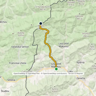 ModerateOne-dayMarkedLysá pod Makytou MakytaElevation profile364–923 m10 kmascent 618 m≈ 3.5 h walkingunder 1 km from Makyta
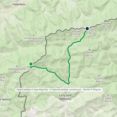 ModerateOne-dayMarkedMakyta Hotel PortášElevation profile418–923 m12.8 kmascent 513 m≈ 4 h walkingunder 1 km from Makyta
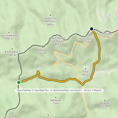 EasyOne-dayMarkedPapajské sedlo Sedlo KohútkaElevation profile516–879 m5.4 kmascent 363 m≈ 2 h walking2.4 km from Makyta
Nearby attractions
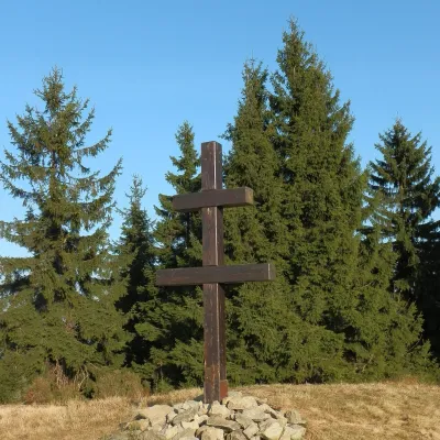 PeakVeľký Javorníkaltitude 1 072 m16 km from MakytaVeľký Javorník (Polish Wielki Jawornik) is the highest peak of the Javorníky range at 1,072 m (more precisely 1,071.5 m).
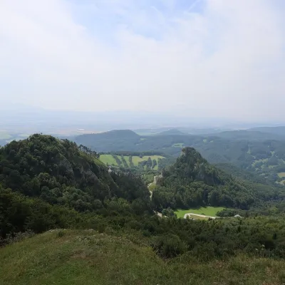 PeakChmeľováVršatské Podhradiealtitude 925 m21 km from MakytaChmeľová is a 925 m summit, the second highest in the White Carpathians (Biele Karpaty) after Veľká Javorina (970 m).
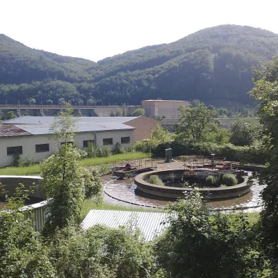 Water parks & thermal poolsNimnica: a mineral-water spa above the Nosice reservoirNimnica21 km from MakytaNimnica is one of Slovakia's youngest spas, in the Váh valley between Púchov and Považská Bystrica. Its spa houses stand at about 300 m on a wooded spur of the...
Craft nearby
All craft places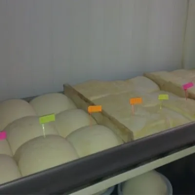 Cheese dairies & pasturesSalaš Orlové near Považská Bystrica: cheese, bryndza, žinčicaPovažská Bystrica24 km from MakytaOrlové is a part of the town of Považská Bystrica on the left bank of the Váh, at the foot of hills that rise into the Strážov Hills.
 Cheese dairies & pasturesSalaš Pružina: 100% sheep’s bryndza in the Strážov HillsPružina35 km from MakytaPružina is a village in a picturesque valley of the Strážov Hills (Strážovské vrchy) west of Považská Bystrica.
 Cheese dairies & pasturesFarma Brezany near Žilina: hand-stretched cheese and a distilleryBrezany38 km from MakytaBrezany is a village a few kilometres south of Žilina, on the edge of the Žilina basin and the foothills leading towards the Rajec valley and the Strážov Hills.
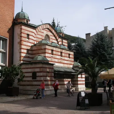 Water parks & thermal poolsTrenčianske Teplice: the Hammam and sulphur thermal bathsTrenčianske Teplice39 km from MakytaTrenčianske Teplice is one of Slovakia's oldest spas, squeezed into a narrow wooded valley of the Strážov Mountains not far from Trenčín.
 Water parks & thermal poolsSpa Aphrodite thermal pools, Rajecké TepliceRajecké Teplice40 km from MakytaHot mineral water rises here, and it feeds the Spa Aphrodite resort, whose thermal pools, saunas and Natural Spa zone are open not only to patients but to anyone with...
 Cheese dairies & pasturesRaková farm in Kysuce: bryndza, žinčica and cheese cakesRaková46 km from MakytaKysuce is a hilly region in north-western Slovakia, near the Polish and Czech borders, with scattered hillside hamlets (“kopanice”) and an old tradition of keeping...
