Oščadnica
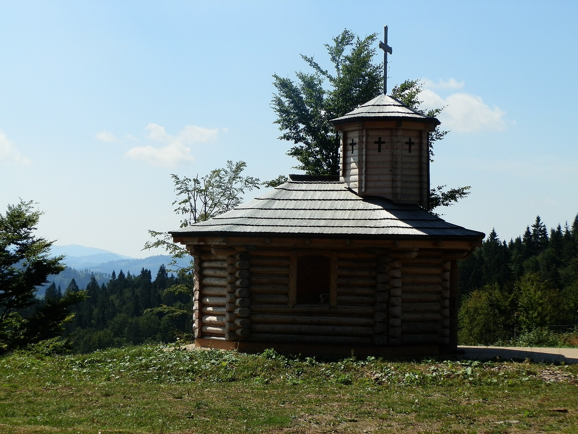
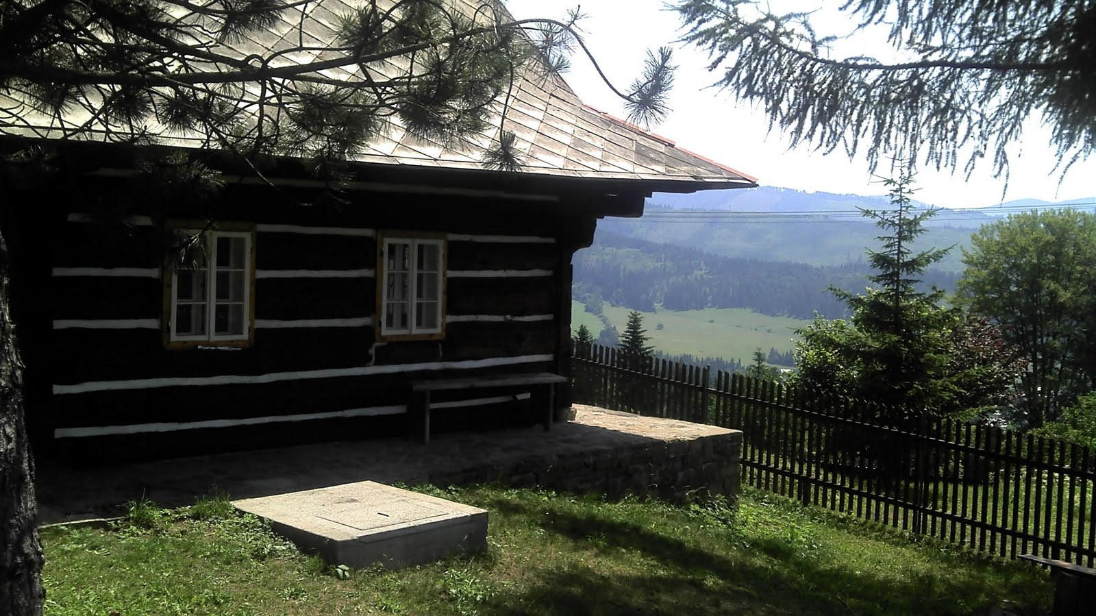

Photos: Samuel Mudrík, CC BY-SA 4.0 (Wikimedia Commons); Michal Jakubský, CC BY 3.0 (Wikimedia Commons); hrnecdravec, CC BY 3.0 (Wikimedia Commons); Michal Jakubský, CC BY 3.0 (Wikimedia Commons); Jozef Bíro, CC BY 3.0 (Wikimedia Commons); Pudelek (Marcin Szala), CC BY-SA 3.0 (Wikimedia Commons)
Oščadnica is a village in the Čadca District of the Žilina region, Slovakia, situated at 463 metres above sea level. As of 2025, the population is 5,780. The settlement lies in the picturesque valley of the Oščadnica river, at the foot of the Veľká Rača massif, the highest peak of the Kysucké Beskydy Mountains. The area is surrounded by the Żywiec Beskids, offering a scenic mountain landscape ideal for tourism and recreation.
The first written mention of Oščadnica dates back to 1579, though seasonal mountain huts likely existed here by 1500, and permanent dwellings appeared by 1600. The territory initially belonged to the Budatín estate, later to Strečno. By 1658, the village had a sawmill and a grain mill, and by 1828, the population had grown to nearly 3,000. In 1804, a Baroque-classicist church was built here.
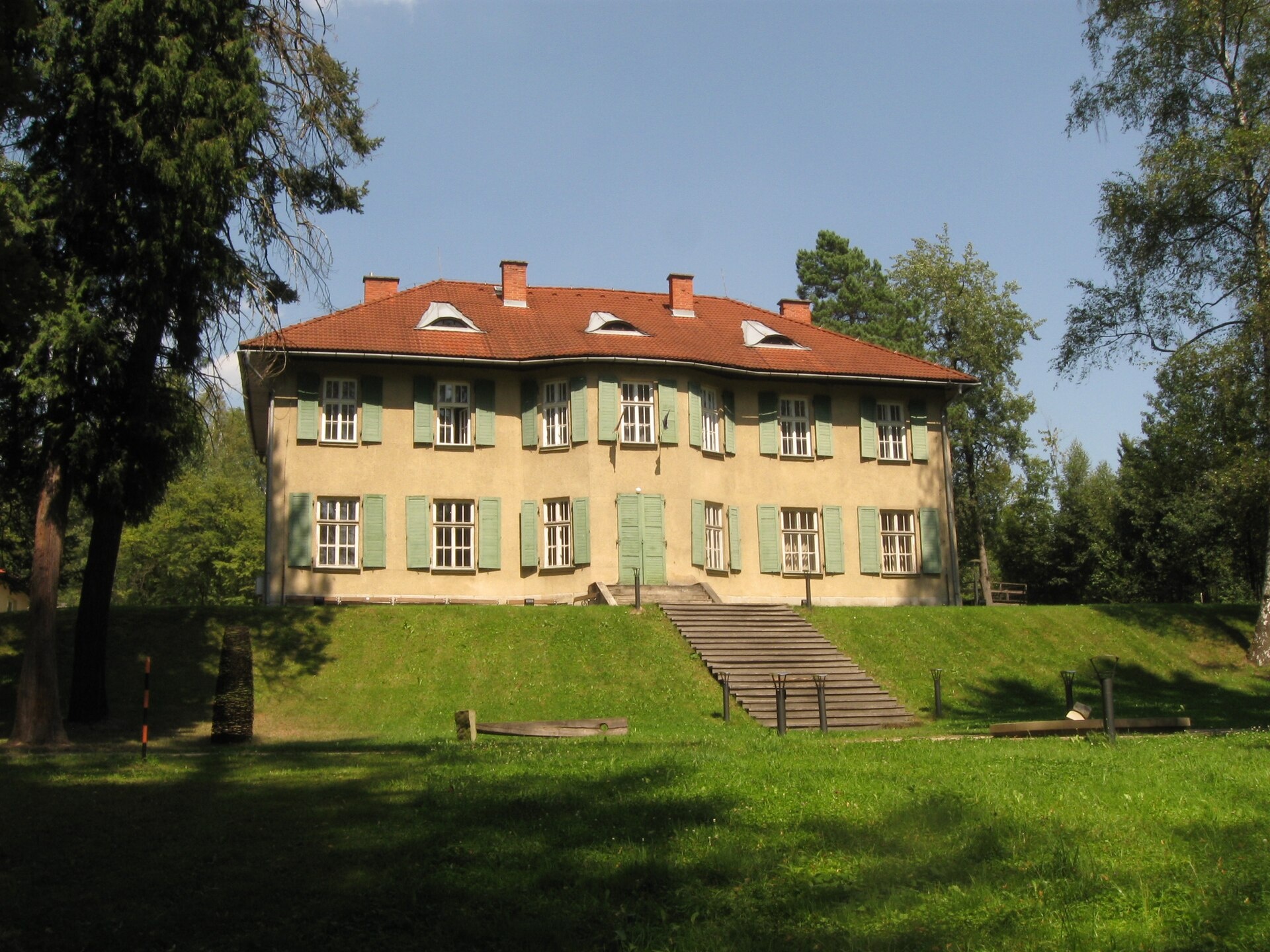
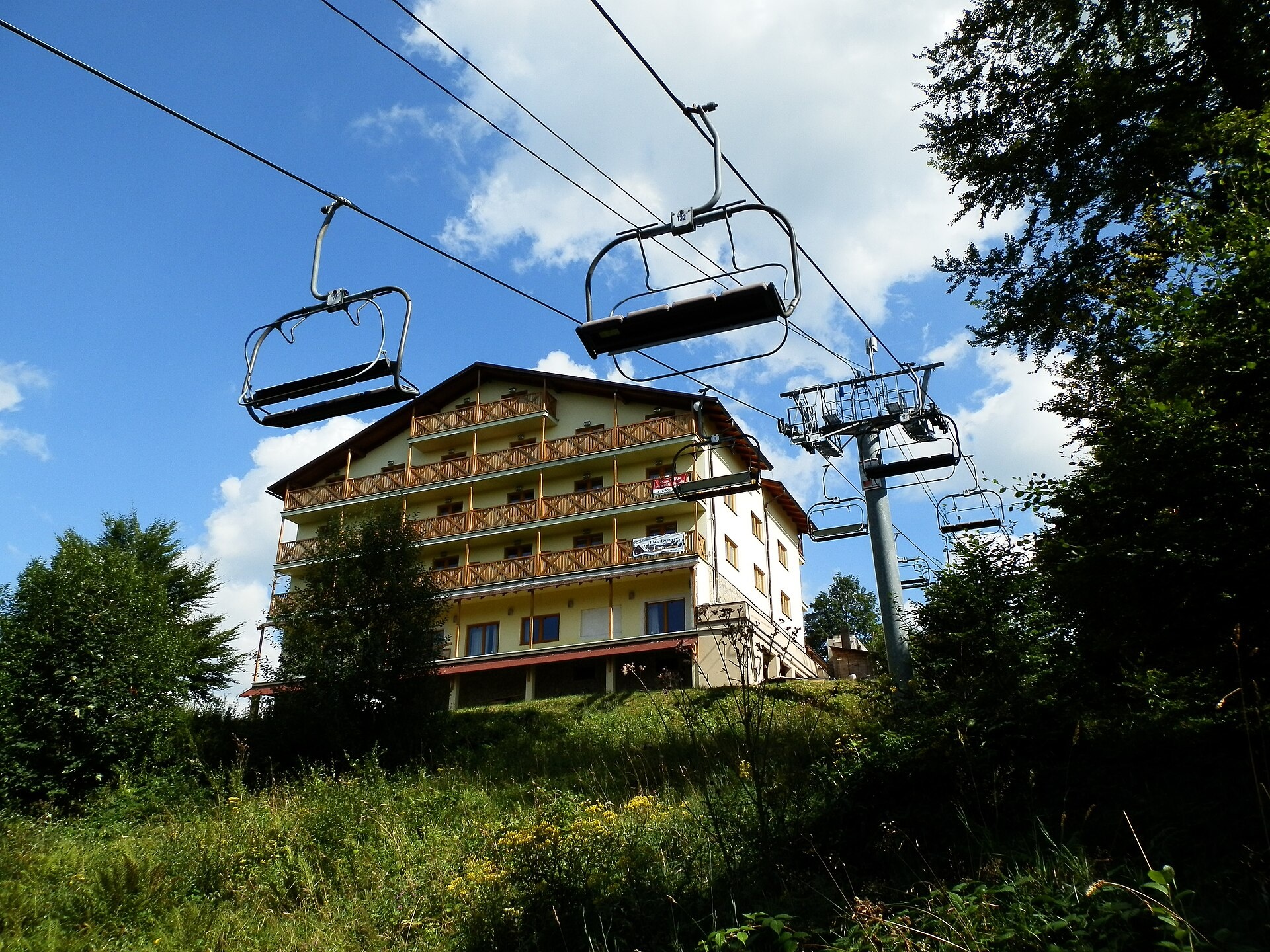
Oščadnica is known as a tourist destination with private lodgings and agrobusiness. In winter, the Oščadnica-Veľká Rača ski resort is popular. The village features many bars and restaurants serving traditional Slovak cuisine. Notable sights include the Church of the Assumption of the Virgin Mary, a Calvary, Lourdes Cave, and the manor house of Count Ballester, now home to the Kysucká Gallery.
Visitors can explore more than 25 hiking trails, such as Oščadnica, Upper End – Veľká Rača, Lodno – Veľká Rača, and Kičera – Oščadnica, Lalík. The summit of Veľká Rača, the highest point of the Kysucké Beskydy, is a highlight for mountain lovers. In the region, you can also visit the farm in Raková in Kysuce, known for bryndza, žinčica, and cheese cakes.
Getting there from Ukraine
From Uzhhorod to Žilina is about 330 km, approximately 4 hours 20 minutes without queues: Uzhhorod – Vyšné Nemecké → I/19 to Košice → D1 via Prešov, Poprad, Liptovský Mikuláš and Ružomberok (about 17 km on I/18 between D1 sections) → Žilina. To Terchová about 314 km, 4 hours 15 minutes: from the D1 onto I/70 and II/583. From Lviv through Poland: M-10 → Krakovets – Korczowa → A4 to Kraków → S7/DK7 to Chyżne – Trstená → R3, I/59 to Dolný Kubín → II/583 via Terchová to Žilina: to Terchová about 493 km (6 h 30 min), to Žilina about 518 km (7 h). Via the tolled A4 Kraków – Katowice, S1 and D3: about 533 km, 6 h 35 min. The D1 requires an e-vignette (eznamka.sk).
Sources: Wikipedia, Wikidata, OpenStreetMap, Karpaty.rocks data. More on Wikipedia
What's nearby
Trails nearby
All trails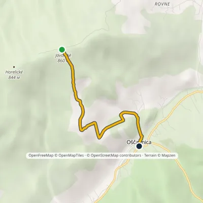 EasyOne-dayMarkedJavorské OščadnicaElevation profile463–860 m3.9 kmascent 2 m≈ 60 min walkingunder 1 km from the centre
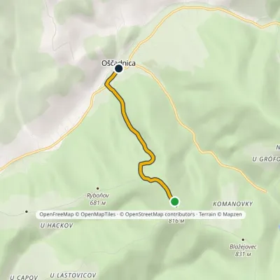 EasyOne-dayMarkedKalinový vrch JavorskéElevation profile460–802 m3 kmascent 5 m≈ 45 min walkingunder 1 km from the centre
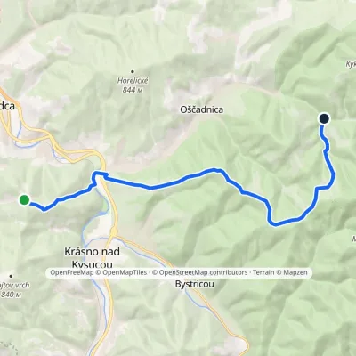 ModerateOne-dayMarkedKýčera Oščadnica, LalíkElevation profile393–933 m15.7 kmascent 571 m≈ 5 h walking1.9 km from the centre
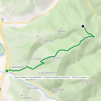 EasyOne-dayMarkedKrásno nad Kysucou, junction Kalinový vrchElevation profile395–808 m6.2 kmascent 412 m≈ 2.5 h walking2 km from the centre
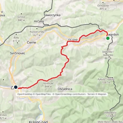 ModerateTwo-dayMarkedČadca, Tesco Skalité, SerafínovElevation profile413–862 m22 kmascent 727 m≈ 7 h walking2.2 km from the centre
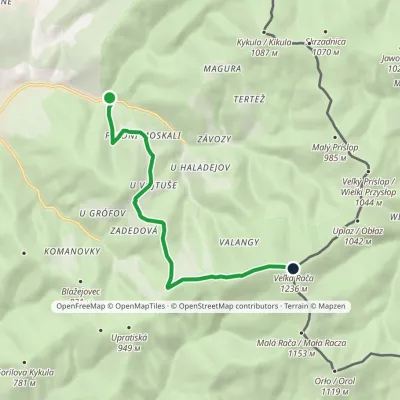 ModerateOne-dayMarkedOščadnica, Vyšný koniec Veľká RačaElevation profile528–1 236 m7.8 kmascent 708 m≈ 3.5 h walking2.6 km from the centre
Peaks nearby
All peaks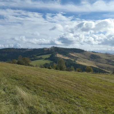 PeakChotárny kopecČadcaaltitude 906 m10 km from the centreChotárny kopec is a summit 906 m high in the north-eastern Javorníky, Slovakia, the second highest after Kazícka Kýčera in the Rakovská hornatina part of the range.
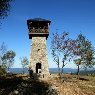 PeakMarťácky vrchZákopčiealtitude 854 m13 km from the centreMarťácky vrch (locally also Marťakovský kopec) is an 854 m summit in the north-eastern part of the Javorníky range in Slovakia, in the Rakovská hornatina group.
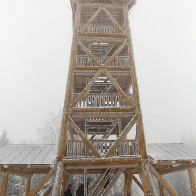 PeakTáborKysucké Nové Mestoaltitude 697 m15 km from the centreTábor is a 697 m hill, the highest summit of the Ochodnica Highlands (Ochodnická vrchovina) in the eastern Javorníky in north-western Slovakia.
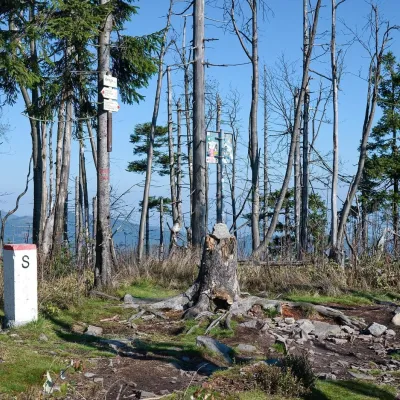 PeakVeľký PolomRakováaltitude 1 067 m17 km from the centreVeľký Polom (Czech Velký Polom, Polish Wielki Połom) is a 1,067 m mountain on the Slovak–Czech border and the highest summit of the Slovak part of the Moravian...
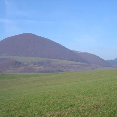 PeakĽadonhoraHorný Vadičovaltitude 999 m17 km from the centreĽadonhora is a forested 999 m summit in northern Slovakia and the second-highest peak of the Kysuce Highlands (Kysucká vrchovina).
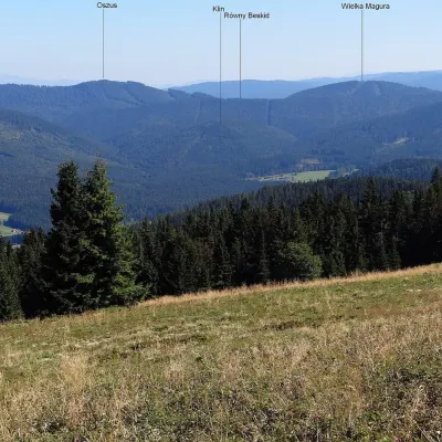 PeakVysoká MaguraZákamennéaltitude 1 115 m21 km from the centreVysoká Magura (Polish Wysoka Magura) is a 1115 m summit in the Orava Beskids (Oravské Beskydy) in northern Slovakia, which Polish geographers count as part of the...
What to visit
All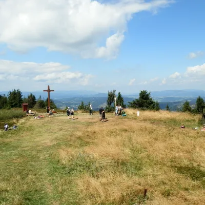 Mountain meadowThe summit hala of Veľká Rača, the highest peak of the Kysucké BeskydyKlubinaaltitude 1 236 m6.7 km from the centreVeľká Rača (Polish Wielka Racza, 1,236 m) is the highest mountain of the Kysucké Beskydy on the Slovak–Polish border, about 12 km east of the town of Čadca.
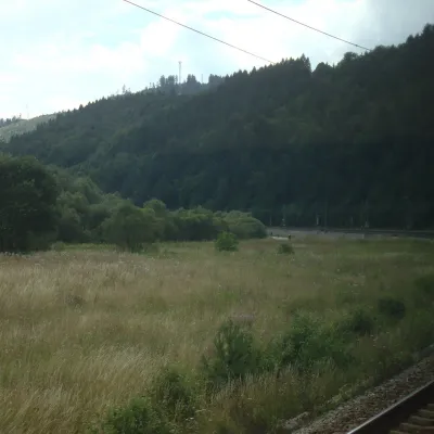 RiverKysuca RiverČadca7 km from the centreThe Kysuca, in Polish Kisuca, is a right-bank tributary of the Váh in north-western Slovakia and the main river of the Kysuce region, which is named after it.
 Cheese dairies & pasturesRaková farm in Kysuce: bryndza, žinčica and cheese cakesRaková10 km from the centreKysuce is a hilly region in north-western Slovakia, near the Polish and Czech borders, with scattered hillside hamlets (“kopanice”) and an old tradition of keeping...
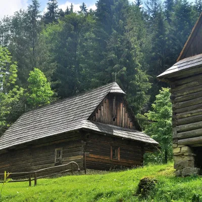 MuseumKysuce Village Museum and Forest Railway, VychylovkaNová Bystrica17 km from the centreThe Kysuce Village Museum (Múzeum kysuckej dediny) is an open-air museum in the Chmúra valley, in the Vychylovka part of the village of Nová Bystrica, in the far north...
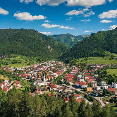 Historic siteTerchováTerchová23 km from the centreTerchová is a village in northern Slovakia, in the Žilina district, between the Krivánska Malá Fatra and the Kysucká vrchovina uplands.
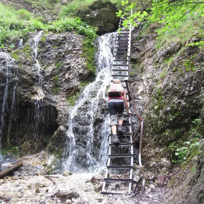 NatureJánošík's Holes (Jánošíkove diery)Terchová25 km from the centreJánošíkove diery (Jánošík’s Holes), or simply Diery, is a system of narrow gorges and canyons in the Krivánska Malá Fatra near the village of Terchová, birthplace of...
Craft nearby
All craft places
Huts, shelters and springs nearby
Getting there from Ukraine
Border crossings
- Uzhhorod – Vyšné Nemecké — road, 24/7
- Malyi Bereznyi – Ubľa — road, 24/7 For cars and buses; pedestrians not confirmed by the Ukrainian border service, lorries up to 3.5 t.
- Mali Selmentsi – Veľké Slemence (pedestrian) — pedestrian, 09:00–21:00 Kyiv time Pedestrians and cyclists only; inconvenient for the Tatras without onward transport.
- Chop – Čierna nad Tisou (rail) — rail, 24/7
By car
From Uzhhorod to Žilina ≈330 km, ≈4 h 20 min without queues: Uzhhorod – Vyšné Nemecké → I/19 to Košice → D1 via Prešov, Poprad, Liptovský Mikuláš and Ružomberok (≈17 km on I/18 between D1 sections) → Žilina. To Terchová ≈314 km, ≈4 h 15 min: from the D1 onto I/70 and II/583. From Lviv through Poland: M-10 → Krakovets – Korczowa → A4 to Kraków → S7/DK7 to Chyżne – Trstená → R3, I/59 to Dolný Kubín → II/583 via Terchová to Žilina: to Terchová ≈493 km (≈6 h 30 min), to Žilina ≈518 km (≈7 h). Via the tolled A4 Kraków – Katowice, S1 and D3: ≈533 km, ≈6 h 35 min. The D1 requires an e-vignette (eznamka.sk).
Checked 23.10.2026; border crossing hours and timetables change — check before you travel.
