Kysuca River
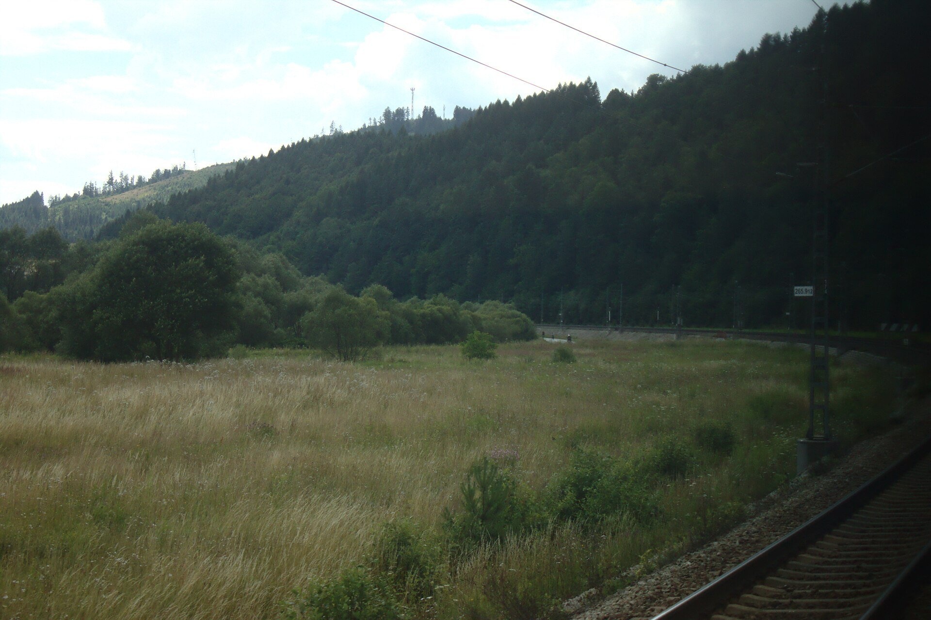
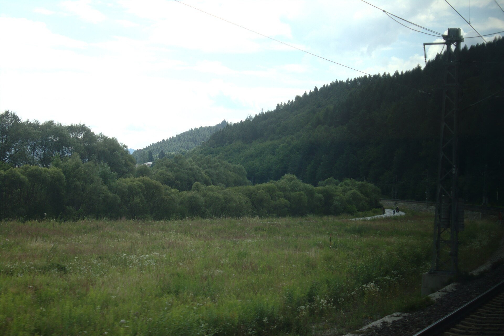
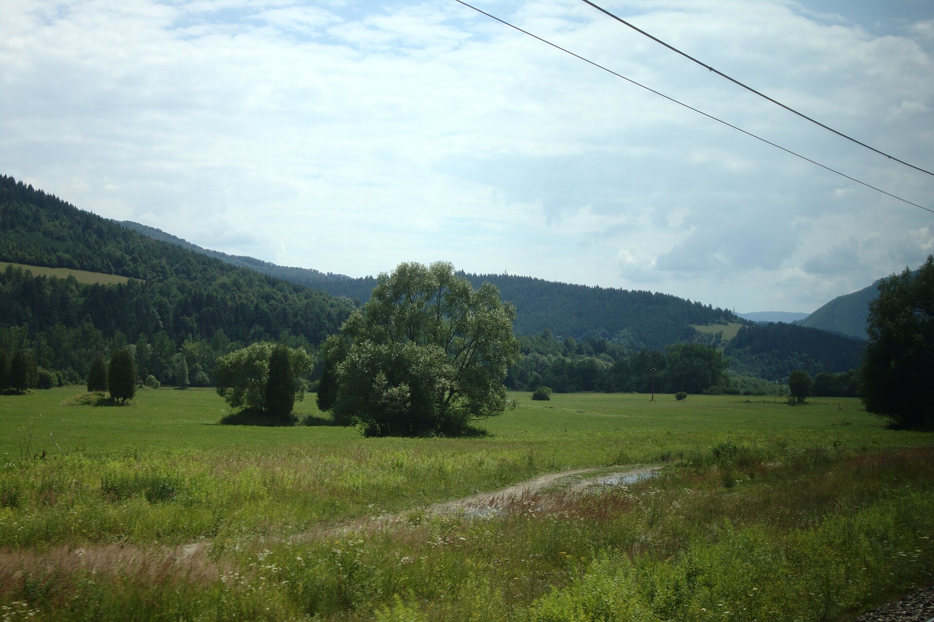
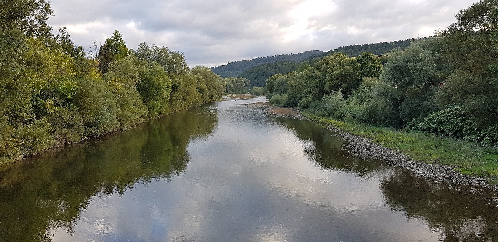
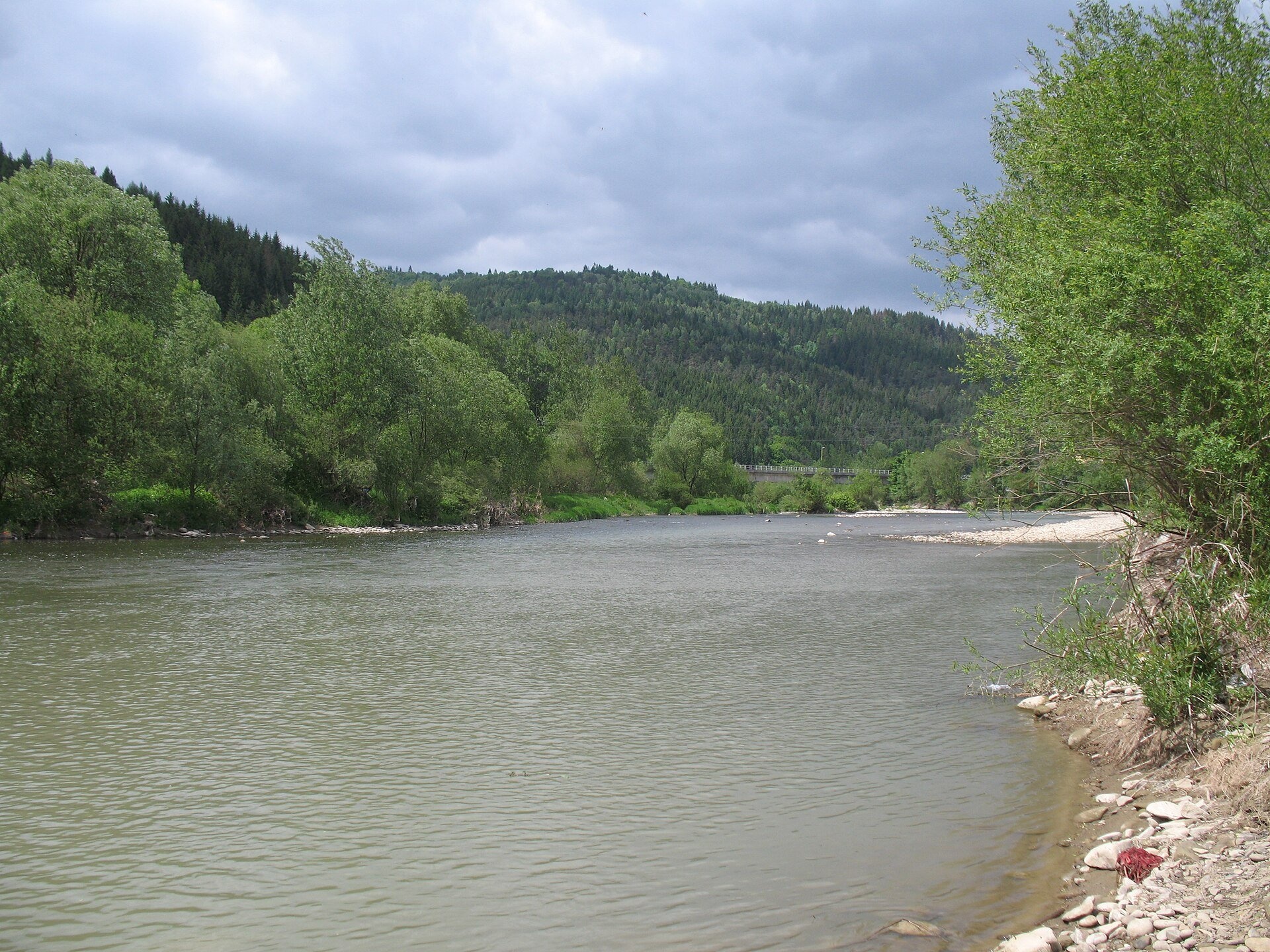
The Kysuca, in Polish Kisuca, is a right-bank tributary of the Váh in north-western Slovakia and the main river of the Kysuce region, which is named after it. It is 66.6 km long (66.3 km according to Polish sources) and its basin covers about 1,050 km². Most of the basin lies in Slovakia, with small parts in Czechia and Poland: the Polish tributaries Czadeczka and Krężelka collect water near Koniaków and Istebna. The Kysuca flows in a huge arc around the Javorníky range and joins the Váh at Žilina at about 330 m.
The course: from source to mouth
The Kysuca rises at about 940 m on the northern slopes of Hričovec in the Javorníky, near the Slovak–Czech border, in the village of Makov. For the first half of its course it flows north-east, through Vysoká nad Kysucou, Turzovka, Podvysoká, Staškov and Raková, and in Čadca turns south. Inside this arc lie the Javorníky, outside it the Turzovka Uplands, the Moravian-Silesian and Kysuce Beskids and the Kysuce Uplands. The river then flows through Krásno nad Kysucou, where it receives its largest tributary, the Bystrica, Dunajov, Ochodnica, Kysucký Lieskovec and Kysucké Nové Mesto to Žilina. Altogether the Kysuca collects 13 larger tributaries, among them the Čierňanka, Čadečka, Oščadnica and Neslušanka. The bed is gravelly, with boulders in places, unregulated outside the towns, with many riffles and bars; the valley is fairly wide and scenic.
On the Czech side the basin boundary follows the ridges of the Moravian-Silesian Beskids and the Jablunkov Furrow — from Velký Polom (1,067 m) to Girová (840 m) and the Czech–Polish border; the left-bank tributaries of the Milošovský potok rise there. In Poland the divide runs from the border south of Istebna to Koniaków and up to Kikula (845 m) on the Slovak border. The river network density is 1.2–1.7 km per km², the bed gradient at Čadca 2.3‰, and each square kilometre of the basin yields on average 17.2 litres of water per second.
What to see along the river
- Budatín Castle — Považie Museum and Tinkers' Exhibition — in Žilina, where the Kysuca joins the Váh.
- Kysuce Village Museum and Forest Railway, Vychylovka — in the valley of the Bystrica tributary above Krásno.
- Čadca — the town on the river's great bend, once the centre of timber rafting.
The river and people
Timber used to be floated down the Kysuca: the traditional place where logs were bound into rafts and the trip began was Čadca, and rafts went down in spring and summer when the water was high enough. Today the Čadca – Makov and Žilina – Mosty u Jablunkova railways and roads II/487 and I/11 run along the valley, and the D3 motorway is under construction. Between river km 30.8 and 65.6 the Kysuca is designated a water-supply stream.
The mean flow grows from 8.34 m³/s at Čadca to 16 m³/s at Kysucké Nové Mesto and about 17.5 m³/s at the mouth; the lowest recorded is 0.9 m³/s, the highest 880 m³/s.
Nature and safety
The Kysuca has a rain-and-snow regime and very variable levels and flows: after downpours and thaws it floods, and in summer it can run very low. The water is relatively clean, especially in the upper course; the mean annual water temperature is 8.5 °C. During high water do not enter the bed or approach undercut banks. Emergency numbers: 112, in the mountains HZS 18 300.
Nearby: peaks, trails, huts
Above the valley of the Oščadnica, a left-bank tributary of the Kysuca, rises The summit hala of Veľká Rača, the highest peak of the Kysucké Beskydy. From Čadca the trail Čadca, station – Makov, hut follows the river to its upper course, from Turzovka Turzovka – Osada Hlinené, and the valley is crossed by the Kysucká magistrála.
Photos: I would appreciate being notified if you use my work outside Wikimedia. More..., CC BY-SA 4.0, Wikimedia Commons; Vegetator, CC BY-SA 4.0, Wikimedia Commons; Taz666, CC BY-SA 3.0, Wikimedia Commons.
Getting there from Ukraine
Border crossings
- Uzhhorod – Vyšné Nemecké — road, 24/7
- Malyi Bereznyi – Ubľa — road, 24/7 For cars and buses; pedestrians not confirmed by the Ukrainian border service, lorries up to 3.5 t.
- Mali Selmentsi – Veľké Slemence (pedestrian) — pedestrian, 09:00–21:00 Kyiv time Pedestrians and cyclists only; inconvenient for the Tatras without onward transport.
- Chop – Čierna nad Tisou (rail) — rail, 24/7
By car
From Uzhhorod to Žilina ≈330 km, ≈4 h 20 min without queues: Uzhhorod – Vyšné Nemecké → I/19 to Košice → D1 via Prešov, Poprad, Liptovský Mikuláš and Ružomberok (≈17 km on I/18 between D1 sections) → Žilina. To Terchová ≈314 km, ≈4 h 15 min: from the D1 onto I/70 and II/583. From Lviv through Poland: M-10 → Krakovets – Korczowa → A4 to Kraków → S7/DK7 to Chyżne – Trstená → R3, I/59 to Dolný Kubín → II/583 via Terchová to Žilina: to Terchová ≈493 km (≈6 h 30 min), to Žilina ≈518 km (≈7 h). Via the tolled A4 Kraków – Katowice, S1 and D3: ≈533 km, ≈6 h 35 min. The D1 requires an e-vignette (eznamka.sk).
Checked 23.10.2026; border crossing hours and timetables change — check before you travel.
Location on the map
Comments
Trails nearby
All trails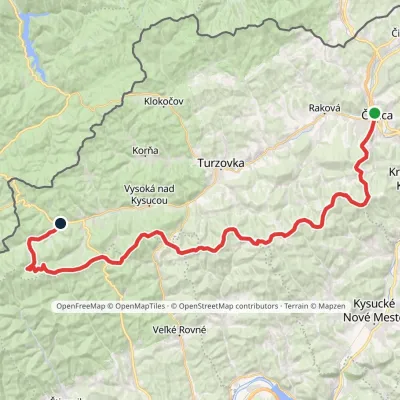 HardMulti-dayMarkedČadca, station Makov, hutElevation profile411–962 m48.7 kmascent 1 469 munder 1 km from Kysuca River
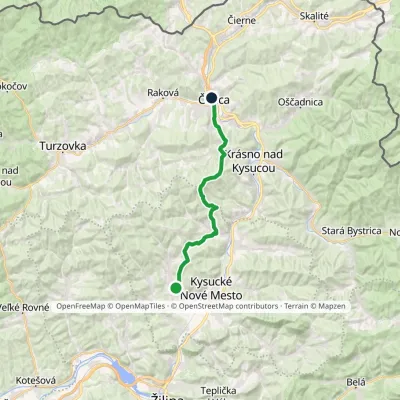 ModerateTwo-dayMarkedČadca, station NeslušaElevation profile401–906 m20.8 kmascent 792 m≈ 7 h walkingunder 1 km from Kysuca River
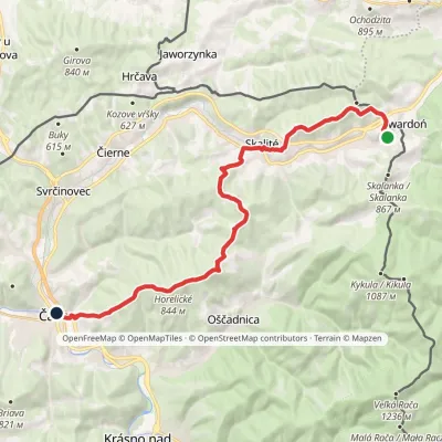 ModerateTwo-dayMarkedČadca, Tesco Skalité, SerafínovElevation profile413–862 m22 kmascent 727 m≈ 7 h walkingunder 1 km from Kysuca River
Nearby attractions
 Cheese dairies & pasturesRaková farm in Kysuce: bryndza, žinčica and cheese cakesRaková3.3 km from Kysuca RiverKysuce is a hilly region in north-western Slovakia, near the Polish and Czech borders, with scattered hillside hamlets (“kopanice”) and an old tradition of keeping...
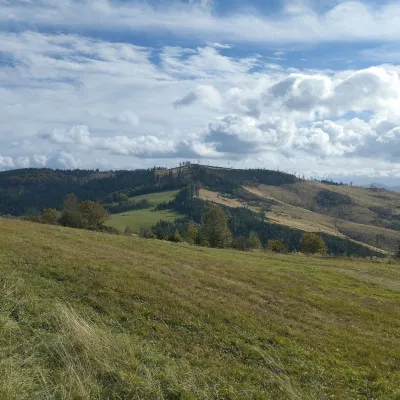 PeakChotárny kopecČadcaaltitude 906 m6.9 km from Kysuca RiverChotárny kopec is a summit 906 m high in the north-eastern Javorníky, Slovakia, the second highest after Kazícka Kýčera in the Rakovská hornatina part of the range.
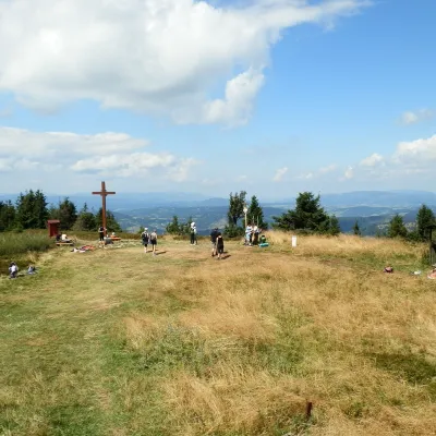 Mountain meadowThe summit hala of Veľká Rača, the highest peak of the Kysucké BeskydyKlubinaaltitude 1 236 m14 km from Kysuca RiverVeľká Rača (Polish Wielka Racza, 1,236 m) is the highest mountain of the Kysucké Beskydy on the Slovak–Polish border, about 12 km east of the town of Čadca.
Craft nearby
All craft places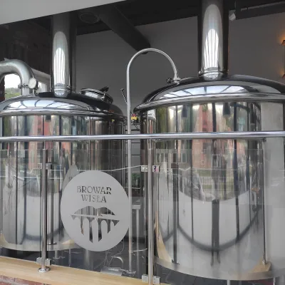 Craft beer & breweriesBrowar Wisła: craft brewpub in Wisła's old railway stationWisła25 km from Kysuca RiverBrowar Wisła is a brewpub in the heart of the Silesian Beskids, in the spa town of Wisła, where Poland's longest river of the same name rises.
 Cheese dairies & pasturesFarma Brezany near Žilina: hand-stretched cheese and a distilleryBrezany29 km from Kysuca RiverBrezany is a village a few kilometres south of Žilina, on the edge of the Žilina basin and the foothills leading towards the Rajec valley and the Strážov Hills.
 Cheese dairies & pasturesBacówka na Bukowinie, Żabnica: sheep's cheese and alpacasWęgierska Górka30 km from Kysuca RiverBacówka na Bukowinie stands on a slope above the village of Żabnica, next to Węgierska Górka, where the Żywiec Beskids meet the Silesian Beskids.
 Cheese dairies & pasturesSalaš Syrex in Zázrivá — Home of the Zázrivá Korbáčik CheeseZázrivá30 km from Kysuca RiverZázrivá is a scattered mountain village on the border of Orava and the Malá Fatra, famous throughout Slovakia for its korbáčiky: thin strings of steamed cheese braided...
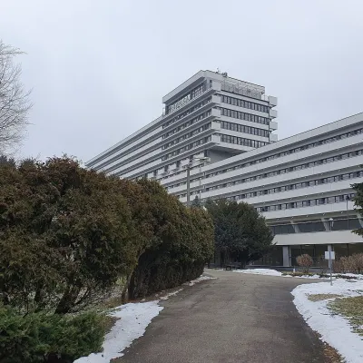 Water parks & thermal poolsUstroń spa: brine, peat and brine poolsUstroń31 km from Kysuca RiverUstroń is the only spa of the Silesian Beskids: the town lies where the Vistula valley leaves the mountains, between the ridges of Równica (884 m) and Czantoria Wielka...
 Water parks & thermal poolsSpa Aphrodite thermal pools, Rajecké TepliceRajecké Teplice36 km from Kysuca RiverHot mineral water rises here, and it feeds the Spa Aphrodite resort, whose thermal pools, saunas and Natural Spa zone are open not only to patients but to anyone with...
