Tábor
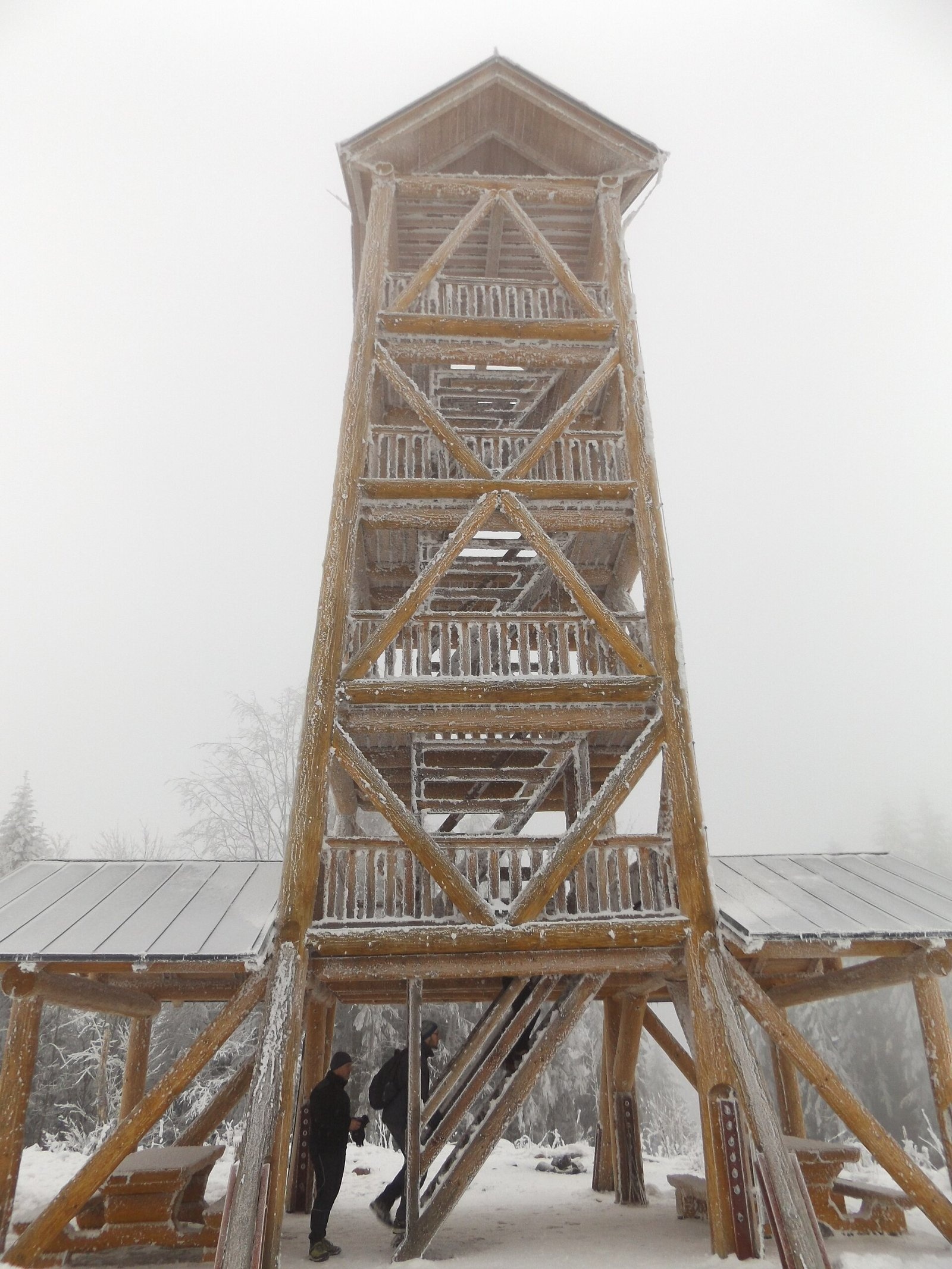
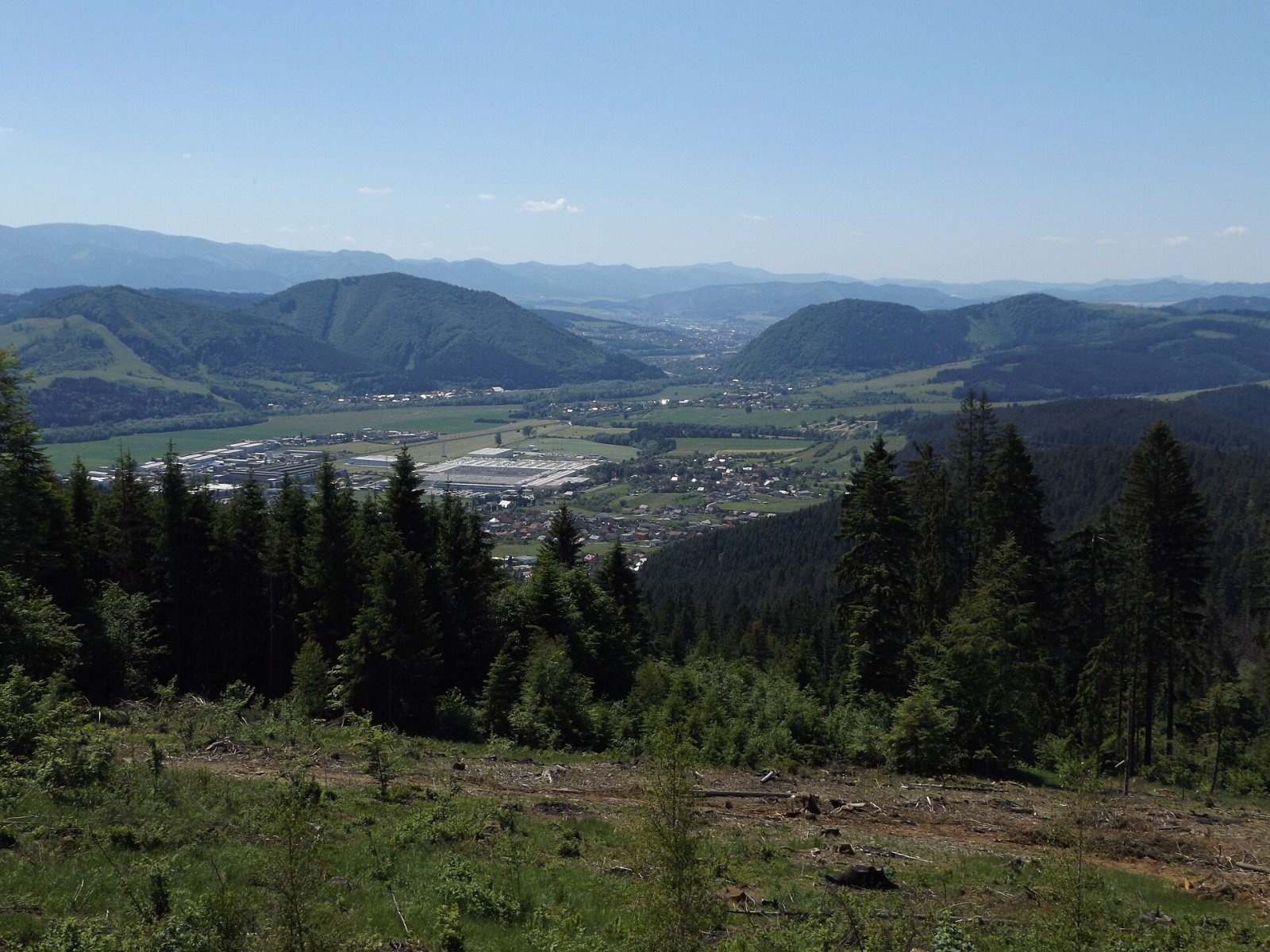
Tábor is a 697 m hill, the highest summit of the Ochodnica Highlands (Ochodnická vrchovina) in the eastern Javorníky in north-western Slovakia. It rises about 1.5 km north of the town of Kysucké Nové Mesto, within its cadastre, on the eastern edge of the Low Javorníky subunit. Around it lie the villages of Nesluša (about 2 km), Povina and Ochodnica (3 km) and Kysucký Lieskovec (3.5 km). The summit's prominence is about 117 m.
The hill stands above the Kysuca valley among lower hills, so despite its modest height it offers a wide view. Being close to town and easy to climb, Tábor is a favourite walk for the people of Kysucké Nové Mesto. Only small streams rise at its foot, all flowing to the Kysuca.
How to get there / routes
- Blue trail "Cesta Vila Galvánka" (KST 2681) – from Kysucké Nové Mesto railway station through the town centre to the summit and on to Vrchrieka (861 m). The climb is easy with a few steeper sections; children can manage it.
- Green trail – from the west from Nesluša, about 1.5 h. North-west of the summit, at Majtánky, it joins the blue trail, and at nearby Klimkovci it branches off again and leads east to Ochodnica in the Kysuca valley.
Combining both trails you can cross Tábor end to end: from the station in Kysucké Nové Mesto to Nesluša or Ochodnica. A small chapel stands by the path at Majtánky. Those who want more can walk the whole "Cesta Vila Galvánka" loop: according to hiking maps it is about 15.5 km and 5–6 hours with more than 750 m of ascent.
What you can see from the top
A sturdy four-storey wooden lookout tower stands on the summit. It offers an almost all-round view of near and distant peaks, dominated by the Lesser Fatra. The town itself, the Kysuca valley and the so-called Kysuce Gate – the narrowing of the valley between Kysucké Nové Mesto and Žilina – are well visible.
Nature and history
Tábor is covered mostly by spruce forest; after logging part of the slopes opened up, adding viewpoints. The hill belongs to the Javorníky – a flysch range of the Outer Western Carpathians built of sandstones and shales that give the summits their rounded, soft shapes. A roofed rest area and a fireplace are set up by the tower.
Safety, season and rules
The walk to Tábor is easy and possible all year; in fog and winter the wooden stairs of the tower can be slippery and icy – climb carefully. Light fires only in the fireplace. In Slovakia the Mountain Rescue Service (HZS) operates: 18 300 (+421 18 300); the general emergency number is 112.
Interesting facts
- Tábor is the highest summit of the Ochodnica Highlands, though it is under 700 m.
- The blue trail to Tábor starts right at the railway station.
- The main feature of the view from the tower is the Lesser Fatra ridge.
Photos: Marián Habrun, CC BY-SA 4.0; Marián Habrun, CC BY-SA 4.0 — Wikimedia Commons.
Getting there from Ukraine
Border crossings
- Uzhhorod – Vyšné Nemecké — road, 24/7
- Malyi Bereznyi – Ubľa — road, 24/7 For cars and buses; pedestrians not confirmed by the Ukrainian border service, lorries up to 3.5 t.
- Mali Selmentsi – Veľké Slemence (pedestrian) — pedestrian, 09:00–21:00 Kyiv time Pedestrians and cyclists only; inconvenient for the Tatras without onward transport.
- Chop – Čierna nad Tisou (rail) — rail, 24/7
By car
From Uzhhorod to Žilina ≈330 km, ≈4 h 20 min without queues: Uzhhorod – Vyšné Nemecké → I/19 to Košice → D1 via Prešov, Poprad, Liptovský Mikuláš and Ružomberok (≈17 km on I/18 between D1 sections) → Žilina. To Terchová ≈314 km, ≈4 h 15 min: from the D1 onto I/70 and II/583. From Lviv through Poland: M-10 → Krakovets – Korczowa → A4 to Kraków → S7/DK7 to Chyżne – Trstená → R3, I/59 to Dolný Kubín → II/583 via Terchová to Žilina: to Terchová ≈493 km (≈6 h 30 min), to Žilina ≈518 km (≈7 h). Via the tolled A4 Kraków – Katowice, S1 and D3: ≈533 km, ≈6 h 35 min. The D1 requires an e-vignette (eznamka.sk).
Checked 23.10.2026; border crossing hours and timetables change — check before you travel.
Location on the map
Water and shelter nearby
- Drinking water below Kýčerka1.9 km · Not verified · 579 m
Comments
Trails nearby
All trails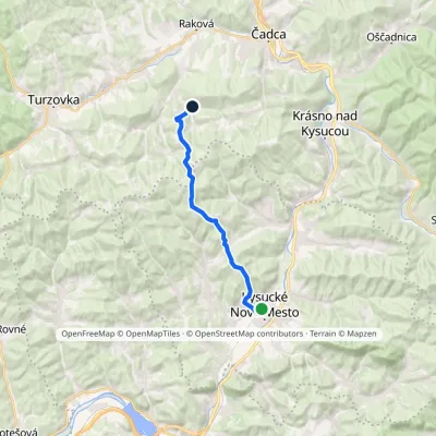 ModerateOne-dayMarkedCesta Vila GalvánkaElevation profile357–861 m15.5 kmascent 697 m≈ 5.5 h walkingunder 1 km from Tábor
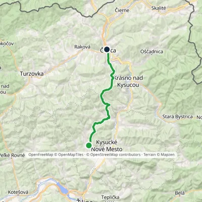 ModerateTwo-dayMarkedČadca, station NeslušaElevation profile401–906 m20.8 kmascent 792 m≈ 7 h walkingunder 1 km from Tábor
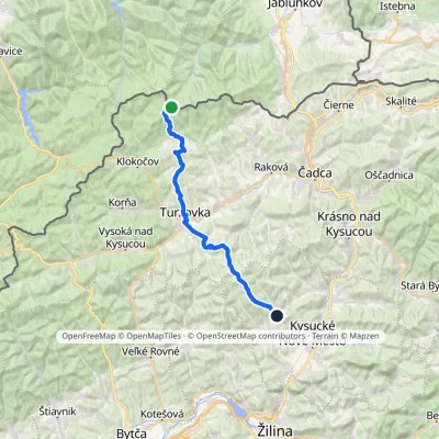 HardTwo-dayMarkedNesluša ČuboňovElevation profile444–1 017 m29.6 kmascent 877 m≈ 9 h walking2.1 km from Tábor
Nearby attractions
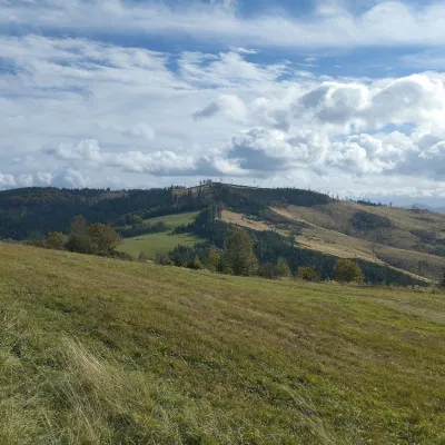 PeakChotárny kopecČadcaaltitude 906 m6.5 km from TáborChotárny kopec is a summit 906 m high in the north-eastern Javorníky, Slovakia, the second highest after Kazícka Kýčera in the Rakovská hornatina part of the range.
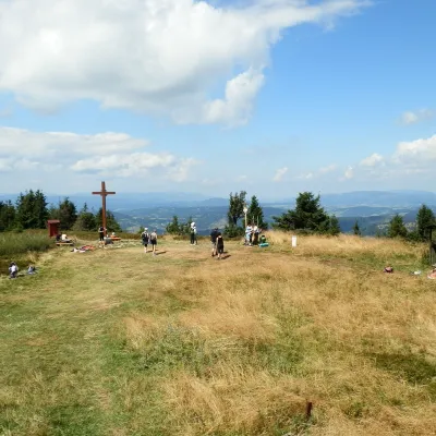 Mountain meadowThe summit hala of Veľká Rača, the highest peak of the Kysucké BeskydyKlubinaaltitude 1 236 m17 km from TáborVeľká Rača (Polish Wielka Racza, 1,236 m) is the highest mountain of the Kysucké Beskydy on the Slovak–Polish border, about 12 km east of the town of Čadca.
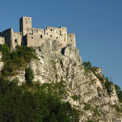 CastleStrečno CastleStrečno18 km from TáborThe castle guarding the gate of the Malá Fatra Strečno Castle (Hrad Strečno) stands on a 103 m limestone crag above the River Váh, 11 km from Žilina on the road to...
Craft nearby
All craft places Cheese dairies & pasturesRaková farm in Kysuce: bryndza, žinčica and cheese cakesRaková13 km from TáborKysuce is a hilly region in north-western Slovakia, near the Polish and Czech borders, with scattered hillside hamlets (“kopanice”) and an old tradition of keeping...
 Cheese dairies & pasturesFarma Brezany near Žilina: hand-stretched cheese and a distilleryBrezany16 km from TáborBrezany is a village a few kilometres south of Žilina, on the edge of the Žilina basin and the foothills leading towards the Rajec valley and the Strážov Hills.
 Water parks & thermal poolsSpa Aphrodite thermal pools, Rajecké TepliceRajecké Teplice22 km from TáborHot mineral water rises here, and it feeds the Spa Aphrodite resort, whose thermal pools, saunas and Natural Spa zone are open not only to patients but to anyone with...
 Cheese dairies & pasturesSalaš Syrex in Zázrivá — Home of the Zázrivá Korbáčik CheeseZázrivá25 km from TáborZázrivá is a scattered mountain village on the border of Orava and the Malá Fatra, famous throughout Slovakia for its korbáčiky: thin strings of steamed cheese braided...
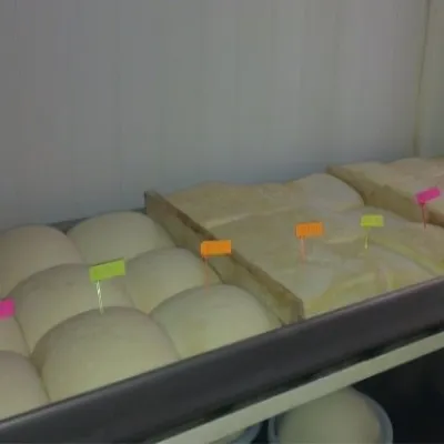 Cheese dairies & pasturesSalaš Orlové near Považská Bystrica: cheese, bryndza, žinčicaPovažská Bystrica32 km from TáborOrlové is a part of the town of Považská Bystrica on the left bank of the Váh, at the foot of hills that rise into the Strážov Hills.
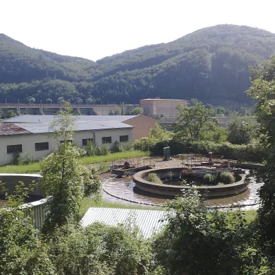 Water parks & thermal poolsNimnica: a mineral-water spa above the Nosice reservoirNimnica36 km from TáborNimnica is one of Slovakia's youngest spas, in the Váh valley between Púchov and Považská Bystrica. Its spa houses stand at about 300 m on a wooded spur of the...
