Marťácky vrch
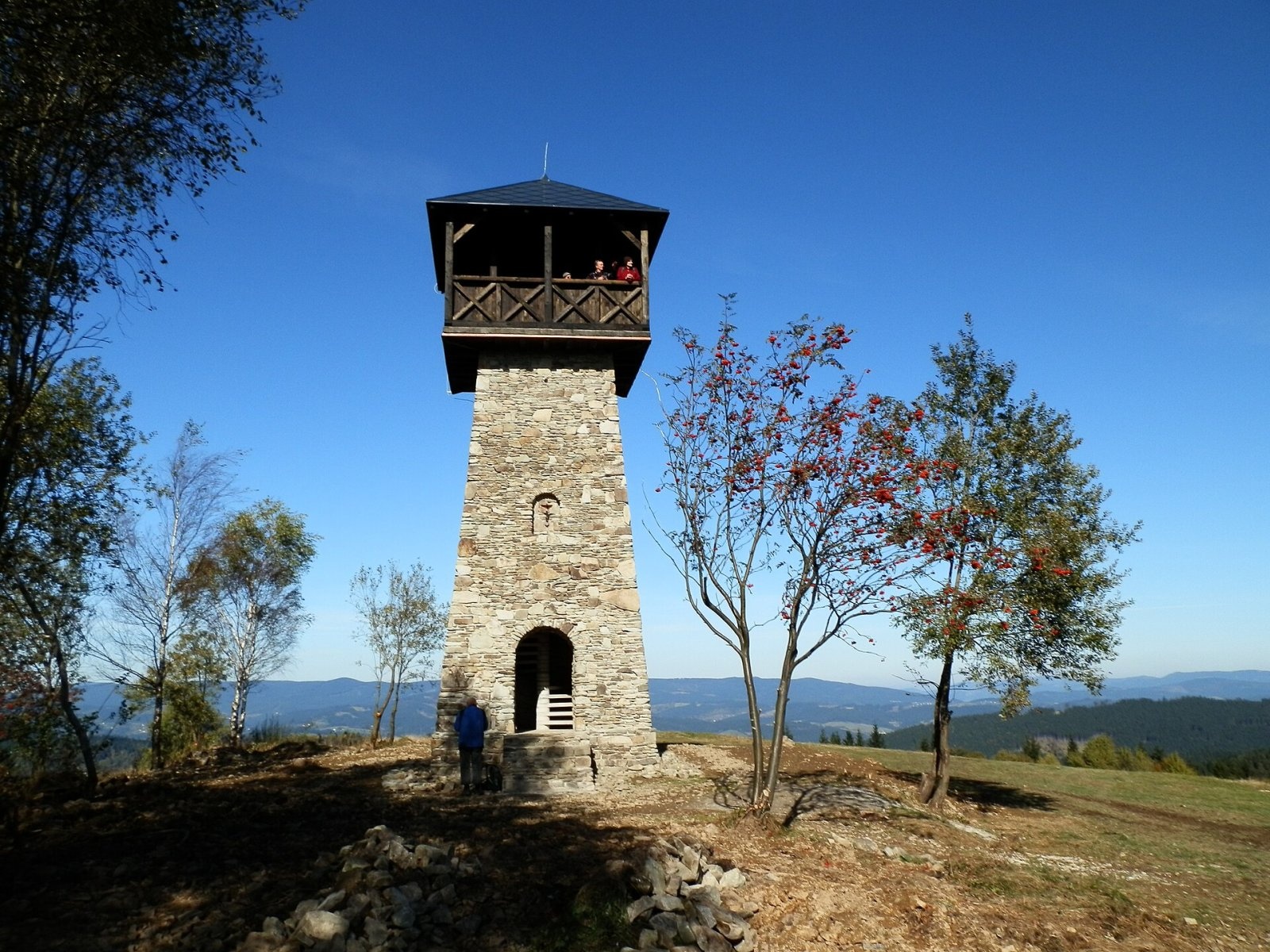
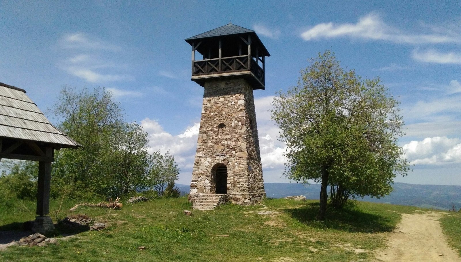
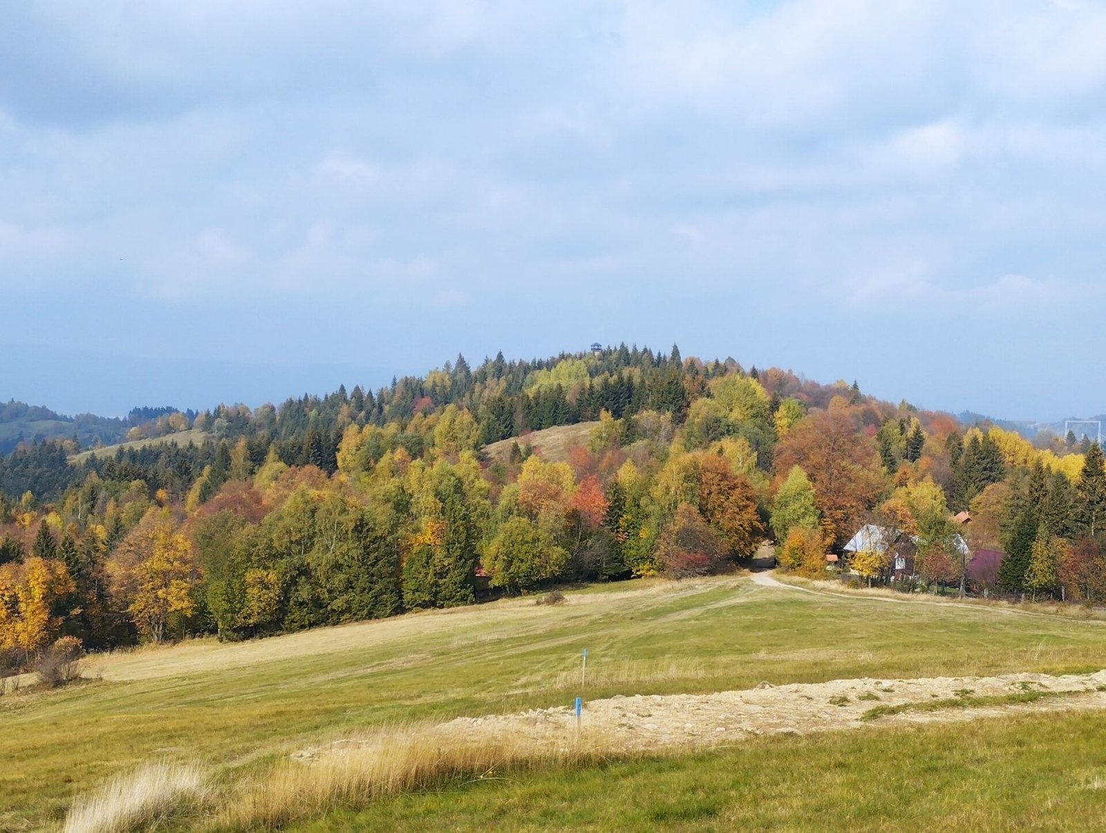
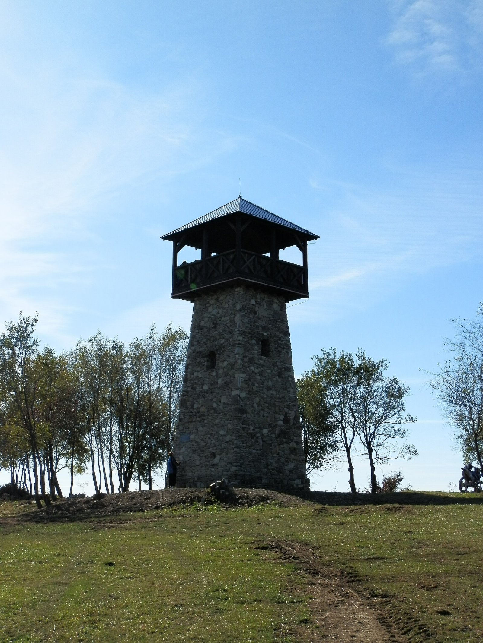
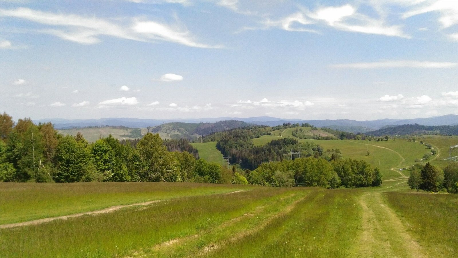
Marťácky vrch (locally also Marťakovský kopec) is an 854 m summit in the north-eastern part of the Javorníky range in Slovakia, in the Rakovská hornatina group. It lies on the boundary of Čadca and Kysucké Nové Mesto districts in the Žilina Region, about 4 km south of the centre of Zákopčie and 8 km south-west of Čadca. The boundary between the Zákopčie and Ochodnica cadastres crosses the summit. Small scattered hamlets typical of Kysuce – Petránky, U Rulcov, U Kordišov and others – lie around it.
The mountain stands in the central part of the Rakovská hornatina, on the main Javorníky ridge between Chotárny kopec and Kazícka Kýčera. The summit is open meadow, so the views along the ridge are wide.
How to get there / routes
- The red trail – the Javorníky ridge trail (Javornícka magistrála) from Čadca to Sedlo pod Grapou – bypasses the summit on the east, with a marked side path to the lookout tower.
- The blue "Vila Galvánka" trail from Kysucké Nové Mesto to the centre of Zákopčie crosses the red one in the Petránky hamlet.
- The shortest way, suitable for families with children, starts at the bus terminus in the U Rulcov hamlet and runs via U Trnkov.
The sources give no walking times, but the summit is only about 1.5 km as the crow flies from the bus stop.
What you can see from the top
In 2009–2011 the 14 m "Zákopčie" lookout tower was built on the summit from natural materials – stone and wood. Its platform offers an all-round panorama: besides the nearby Javorníky you can see Lysá hora in the Moravian-Silesian Beskids, Veľká Rača in the Kysuce Beskids and Veľký Rozsutec in the Lesser Fatra.
Nature and history
The Javorníky ridge is gentle here, with meadows, pastures and mixed woods, and scattered Kysuce hamlets on the slopes. The tower on Marťácky vrch is a new local landmark built of local stone.
Zákopčie – a village of hamlets
Most paths to the summit start in Zákopčie, a village scattered over five valleys (Holovská, Kordišovská, Ruľcovská, Polievkovská and Kľukovská) and the surrounding hills. It consists of about 70 settlements (once around 90) – so-called kopanice, isolated farmsteads among fields and forests. The area was settled temporarily during the Wallachian colonisation of the 16th century and permanently at the beginning of the 17th; the first written record, in the urbarium of the Strečno estate, dates from 1662. Poor soils and a harsh climate could not feed large families, so in the 19th and first half of the 20th century many inhabitants left to work in the industrial Ostrava region or emigrated overseas. The village's highest point is Jakubovský vrch (875 m). Two bus lines run from Čadca via Raková to the centre of Zákopčie and to the hamlets in the valleys, including U Ruľcov.
Safety, season and rules
The routes are easy and open all year. Climb the tower carefully, especially with children, in wind and ice. The ridge is exposed, so do not stay on the tower in a thunderstorm. Slovak Mountain Rescue Service (HZS): 18 300 (+421 18 300) or 112.
Photos: Michal Jakubský, CC BY 3.0; Hornokysučan, CC BY-SA 4.0; Hornokysučan, CC BY-SA 4.0; Michal Jakubský, CC BY 3.0; Hornokysučan, CC BY-SA 4.0 — Wikimedia Commons.
Getting there from Ukraine
Border crossings
- Uzhhorod – Vyšné Nemecké — road, 24/7
- Malyi Bereznyi – Ubľa — road, 24/7 For cars and buses; pedestrians not confirmed by the Ukrainian border service, lorries up to 3.5 t.
- Mali Selmentsi – Veľké Slemence (pedestrian) — pedestrian, 09:00–21:00 Kyiv time Pedestrians and cyclists only; inconvenient for the Tatras without onward transport.
- Chop – Čierna nad Tisou (rail) — rail, 24/7
By car
From Uzhhorod to Žilina ≈330 km, ≈4 h 20 min without queues: Uzhhorod – Vyšné Nemecké → I/19 to Košice → D1 via Prešov, Poprad, Liptovský Mikuláš and Ružomberok (≈17 km on I/18 between D1 sections) → Žilina. To Terchová ≈314 km, ≈4 h 15 min: from the D1 onto I/70 and II/583. From Lviv through Poland: M-10 → Krakovets – Korczowa → A4 to Kraków → S7/DK7 to Chyżne – Trstená → R3, I/59 to Dolný Kubín → II/583 via Terchová to Žilina: to Terchová ≈493 km (≈6 h 30 min), to Žilina ≈518 km (≈7 h). Via the tolled A4 Kraków – Katowice, S1 and D3: ≈533 km, ≈6 h 35 min. The D1 requires an e-vignette (eznamka.sk).
Checked 23.10.2026; border crossing hours and timetables change — check before you travel.
Location on the map
Comments
Trails nearby
All trails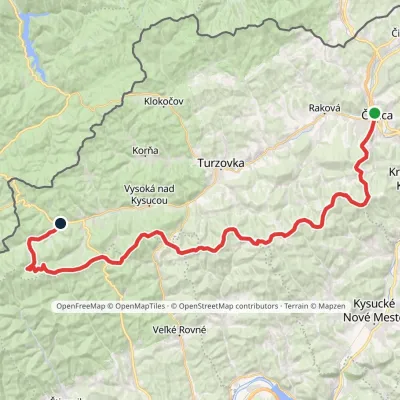 HardMulti-dayMarkedČadca, station Makov, hutElevation profile411–962 m48.7 kmascent 1 469 munder 1 km from Marťácky vrch
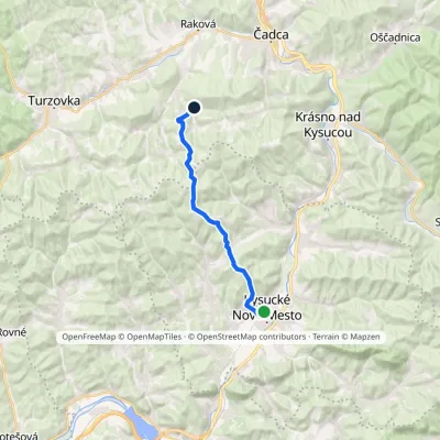 ModerateOne-dayMarkedCesta Vila GalvánkaElevation profile357–861 m15.5 kmascent 697 m≈ 5.5 h walkingunder 1 km from Marťácky vrch
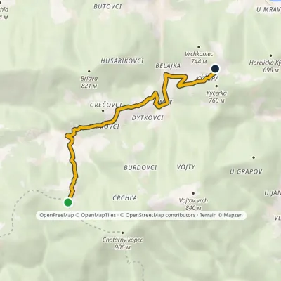 EasyOne-dayMarkedBlažková KýčeraElevation profile509–767 m6.6 kmascent 305 m≈ 2.5 h walking2.3 km from Marťácky vrch
Nearby attractions
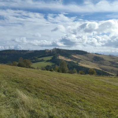 PeakChotárny kopecČadcaaltitude 906 m3.1 km from Marťácky vrchChotárny kopec is a summit 906 m high in the north-eastern Javorníky, Slovakia, the second highest after Kazícka Kýčera in the Rakovská hornatina part of the range.
 Cheese dairies & pasturesRaková farm in Kysuce: bryndza, žinčica and cheese cakesRaková7.1 km from Marťácky vrchKysuce is a hilly region in north-western Slovakia, near the Polish and Czech borders, with scattered hillside hamlets (“kopanice”) and an old tradition of keeping...
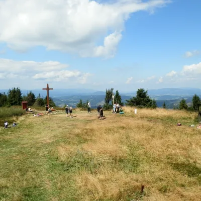 Mountain meadowThe summit hala of Veľká Rača, the highest peak of the Kysucké BeskydyKlubinaaltitude 1 236 m18 km from Marťácky vrchVeľká Rača (Polish Wielka Racza, 1,236 m) is the highest mountain of the Kysucké Beskydy on the Slovak–Polish border, about 12 km east of the town of Čadca.
Craft nearby
All craft places Cheese dairies & pasturesFarma Brezany near Žilina: hand-stretched cheese and a distilleryBrezany21 km from Marťácky vrchBrezany is a village a few kilometres south of Žilina, on the edge of the Žilina basin and the foothills leading towards the Rajec valley and the Strážov Hills.
 Water parks & thermal poolsSpa Aphrodite thermal pools, Rajecké TepliceRajecké Teplice28 km from Marťácky vrchHot mineral water rises here, and it feeds the Spa Aphrodite resort, whose thermal pools, saunas and Natural Spa zone are open not only to patients but to anyone with...
 Cheese dairies & pasturesSalaš Syrex in Zázrivá — Home of the Zázrivá Korbáčik CheeseZázrivá30 km from Marťácky vrchZázrivá is a scattered mountain village on the border of Orava and the Malá Fatra, famous throughout Slovakia for its korbáčiky: thin strings of steamed cheese braided...
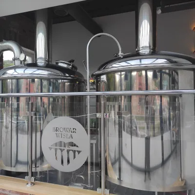 Craft beer & breweriesBrowar Wisła: craft brewpub in Wisła's old railway stationWisła33 km from Marťácky vrchBrowar Wisła is a brewpub in the heart of the Silesian Beskids, in the spa town of Wisła, where Poland's longest river of the same name rises.
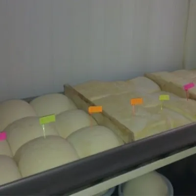 Cheese dairies & pasturesSalaš Orlové near Považská Bystrica: cheese, bryndza, žinčicaPovažská Bystrica34 km from Marťácky vrchOrlové is a part of the town of Považská Bystrica on the left bank of the Váh, at the foot of hills that rise into the Strážov Hills.
 Cheese dairies & pasturesBacówka na Bukowinie, Żabnica: sheep's cheese and alpacasWęgierska Górka38 km from Marťácky vrchBacówka na Bukowinie stands on a slope above the village of Żabnica, next to Węgierska Górka, where the Żywiec Beskids meet the Silesian Beskids.
