Skalité
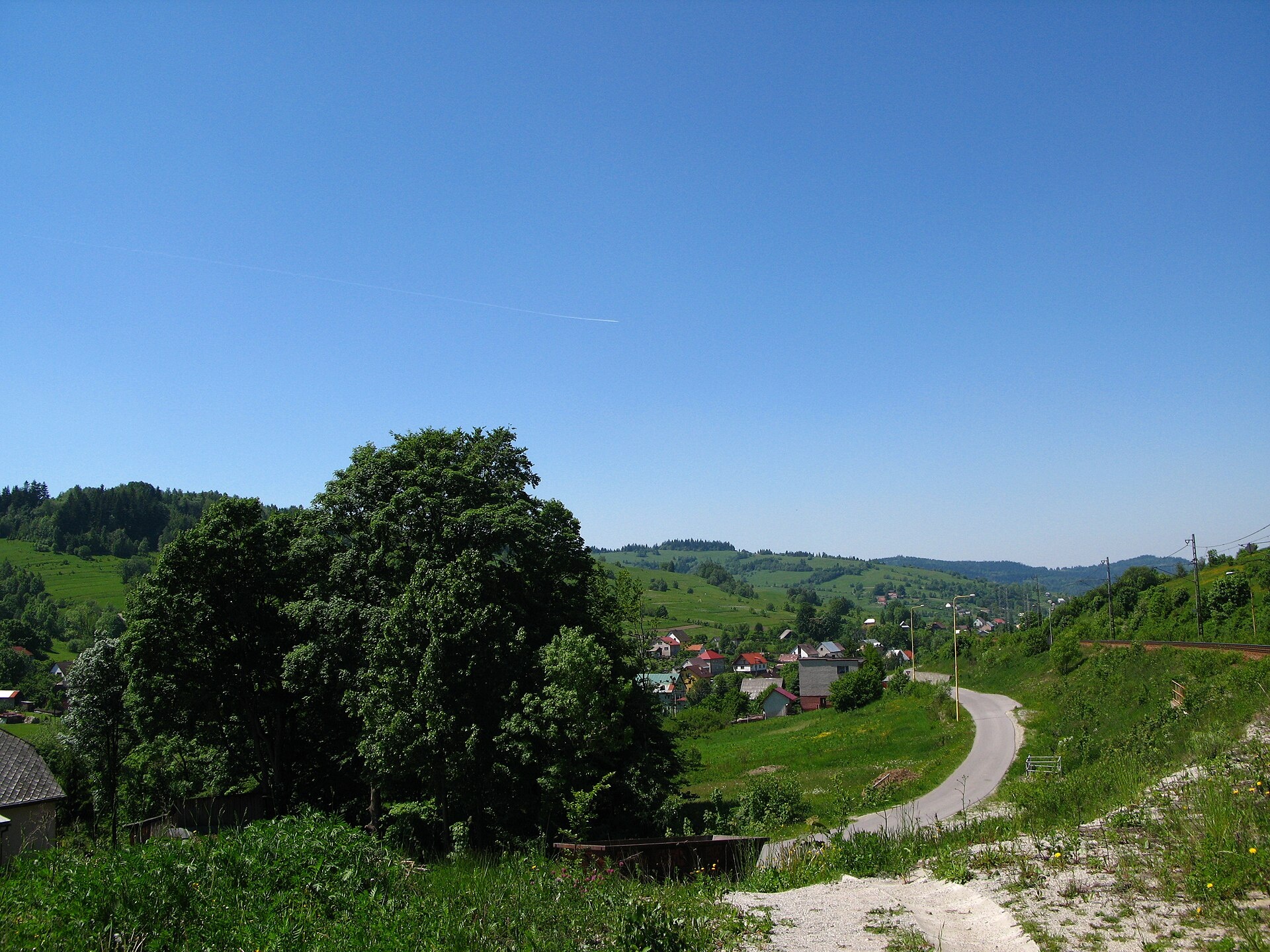
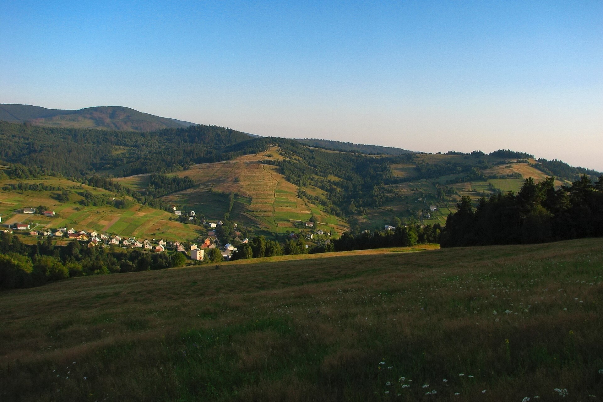

Photos: Crusier, CC BY 3.0 (Wikimedia Commons); Adrian Tync, CC BY-SA 4.0 (Wikimedia Commons); Adrian Tync, CC BY-SA 4.0 (Wikimedia Commons)
Skalité is a village in Slovakia.
Elevation: about 524 m above sea level. Population: 5,211 (2025). Mountains nearby: Żywiec Beskids.
Here and nearby on the site: 2 trails.
Facts: Wikidata, OpenStreetMap. More on Wikipedia
What's nearby
Trails nearby
All trails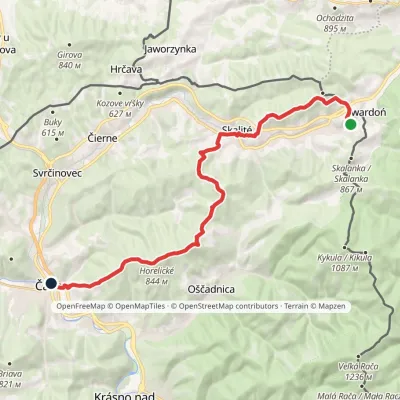 ModerateTwo-dayMarkedČadca, Tesco Skalité, SerafínovElevation profile413–862 m22 kmascent 727 m≈ 7 h walkingunder 1 km from the centre
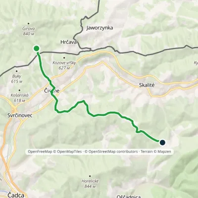 ModerateOne-dayMarkedGírová KykulaElevation profile449–830 m12.7 kmascent 469 m≈ 4 h walking2.1 km from the centre
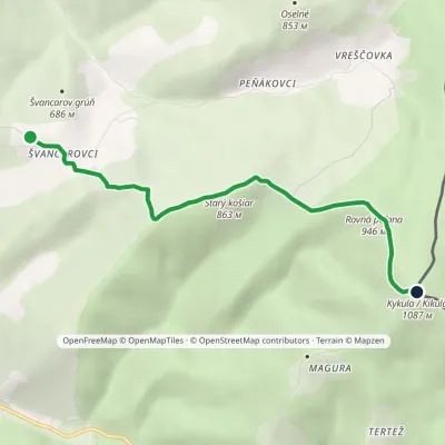 EasyOne-dayMarkedŠvancarov Grúň KykulaElevation profile666–1 087 m4.9 kmascent 455 m≈ 2 h walking3.4 km from the centre
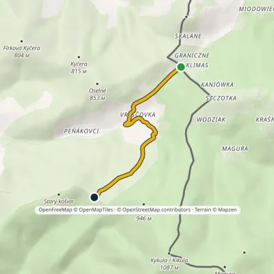 EasyOne-dayMarkedMoravské Vreščovské Saddle, state borderElevation profile668–824 m3.5 kmascent 155 m≈ 1 h walking4.6 km from the centre
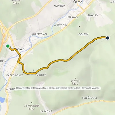 EasyOne-dayMarkedSvrčinovec, zastávka Za ČrchľouElevation profile435–626 m4.3 kmascent 191 m≈ 1.5 h walking4.9 km from the centre
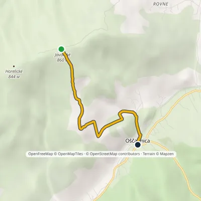 EasyOne-dayMarkedJavorské OščadnicaElevation profile463–860 m3.9 kmascent 2 m≈ 60 min walking5.6 km from the centre
Peaks nearby
All peaks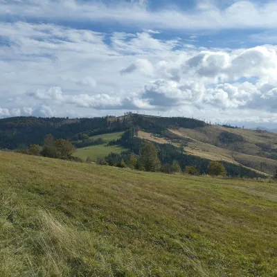 PeakChotárny kopecČadcaaltitude 906 m16 km from the centreChotárny kopec is a summit 906 m high in the north-eastern Javorníky, Slovakia, the second highest after Kazícka Kýčera in the Rakovská hornatina part of the range.
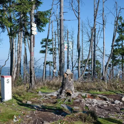 PeakVeľký PolomRakováaltitude 1 067 m16 km from the centreVeľký Polom (Czech Velký Polom, Polish Wielki Połom) is a 1,067 m mountain on the Slovak–Czech border and the highest summit of the Slovak part of the Moravian...
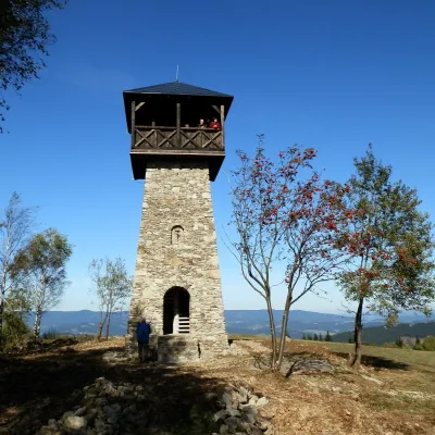 PeakMarťácky vrchZákopčiealtitude 854 m18 km from the centreMarťácky vrch (locally also Marťakovský kopec) is an 854 m summit in the north-eastern part of the Javorníky range in Slovakia, in the Rakovská hornatina group.
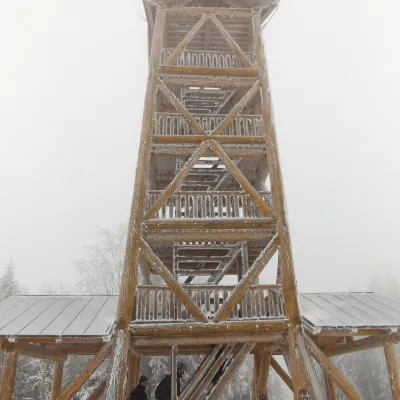 PeakTáborKysucké Nové Mestoaltitude 697 m21 km from the centreTábor is a 697 m hill, the highest summit of the Ochodnica Highlands (Ochodnická vrchovina) in the eastern Javorníky in north-western Slovakia.
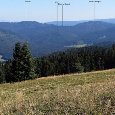 PeakVysoká MaguraZákamennéaltitude 1 115 m22 km from the centreVysoká Magura (Polish Wysoka Magura) is a 1115 m summit in the Orava Beskids (Oravské Beskydy) in northern Slovakia, which Polish geographers count as part of the...
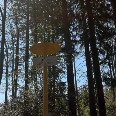 PeakÚšust (Oszus)Zákamennéaltitude 1 155 m23 km from the centreÚšust (Polish Oszus or Oszust) is a 1155 m summit in the Orava Beskids on the Slovak–Polish border. It rises above the village of Oravská Lesná (about 4.4 km), some 20...
What to visit
All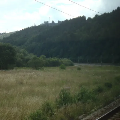 RiverKysuca RiverČadca10 km from the centreThe Kysuca, in Polish Kisuca, is a right-bank tributary of the Váh in north-western Slovakia and the main river of the Kysuce region, which is named after it.
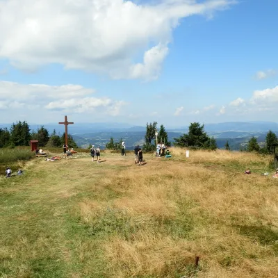 Mountain meadowThe summit hala of Veľká Rača, the highest peak of the Kysucké BeskydyKlubinaaltitude 1 236 m11 km from the centreVeľká Rača (Polish Wielka Racza, 1,236 m) is the highest mountain of the Kysucké Beskydy on the Slovak–Polish border, about 12 km east of the town of Čadca.
 Cheese dairies & pasturesRaková farm in Kysuce: bryndza, žinčica and cheese cakesRaková13 km from the centreKysuce is a hilly region in north-western Slovakia, near the Polish and Czech borders, with scattered hillside hamlets (“kopanice”) and an old tradition of keeping...
Craft nearby
All craft places
Huts, shelters and springs nearby
Getting there from Ukraine
Border crossings
- Uzhhorod – Vyšné Nemecké — road, 24/7
- Malyi Bereznyi – Ubľa — road, 24/7 For cars and buses; pedestrians not confirmed by the Ukrainian border service, lorries up to 3.5 t.
- Mali Selmentsi – Veľké Slemence (pedestrian) — pedestrian, 09:00–21:00 Kyiv time Pedestrians and cyclists only; inconvenient for the Tatras without onward transport.
- Chop – Čierna nad Tisou (rail) — rail, 24/7
By car
From Uzhhorod to Žilina ≈330 km, ≈4 h 20 min without queues: Uzhhorod – Vyšné Nemecké → I/19 to Košice → D1 via Prešov, Poprad, Liptovský Mikuláš and Ružomberok (≈17 km on I/18 between D1 sections) → Žilina. To Terchová ≈314 km, ≈4 h 15 min: from the D1 onto I/70 and II/583. From Lviv through Poland: M-10 → Krakovets – Korczowa → A4 to Kraków → S7/DK7 to Chyżne – Trstená → R3, I/59 to Dolný Kubín → II/583 via Terchová to Žilina: to Terchová ≈493 km (≈6 h 30 min), to Žilina ≈518 km (≈7 h). Via the tolled A4 Kraków – Katowice, S1 and D3: ≈533 km, ≈6 h 35 min. The D1 requires an e-vignette (eznamka.sk).
Checked 23.10.2026; border crossing hours and timetables change — check before you travel.
