Panorama


What to see nearby
The best within 10 km, as the crow flies
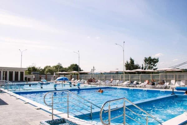
Hotel "Panorama" is located in the village of Solotvyno, 450 meters from the salt lake. Guests have access to Deluxe category rooms, each equipped with double and single beds with bed linen, a TV, refrigerator, wardrobe, desk, balcony-terrace, and Wi-Fi access. The bathroom is equipped with a shower, sink, toilet, towels, toiletries, and a hairdryer. The hotel area is equipped with comfortable sun loungers and umbrellas, a separate sunbathing area, pools with salt and fresh water, a jacuzzi, a shared kitchen with a barbecue area and gazebos, a restaurant, a bar, a parking lot with video surveillance, and a children's playground with a trampoline. The distance from the hotel "Panorama" to the center of the village is 3.8 km, to the railway station "Solotvyno-1" - 2.3 km, to the bus station - 3.1 km.
Prices and availability of extra beds should be confirmed when booking.
The hotel can be reached by public transport or by private car.
On the hotel premises, there is a restaurant and bar where guests can order food and drinks from the menu. There is also a shared kitchen with a grilling area.
Location on the map
Reviews
Nearby attractions
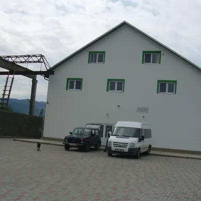 Craft producersProdukty Karpat meat producer, NeresnytsiaNeresnytsia20 km from PanoramaProdukty Karpat ("Carpathian Products") is a family farm and sausage maker in the village of Neresnytsia in the Tiachiv area, in the Teresva river valley.
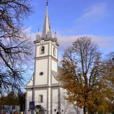 ArchitectureReformed Church, TyachivTyachiv22 km from PanoramaThe Reformed Church is an architectural monument of national importance in the city of Tyachiv, Zakarpattia region.
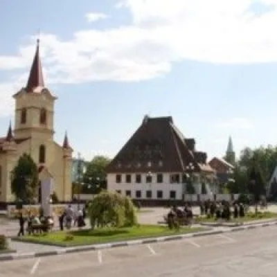 ArchitectureChurch of St. Stephen (Istvan), TyachivTyachiv23 km from PanoramaKing Istvan (Stephen) was built in 1780. The clock on the church's tower is not real, but painted.
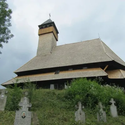
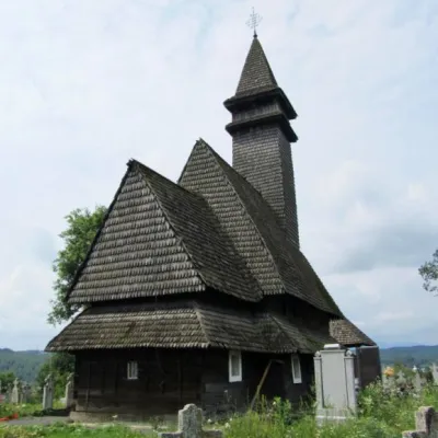
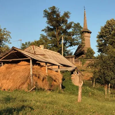 ChurchChurch of the Assumption of the Blessed Virgin Mary, NovoselytsiaNovoselytsia23 km from PanoramaThe Church of the Assumption (built in the mid-17th century) is located in the center of Novoselytsia, a small village in the Zakarpattia region.
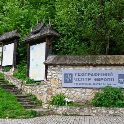 SightGeographical centre of Europe, DiloveDilove23 km from PanoramaIt is one of the main attractions of Transcarpathia, as the sign of the geographical center of Europe is installed in this place.
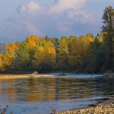 RiverTysa River (Tisza)Rakhiv28 km from PanoramaThe Tysa (Tisza) is the main river of Zakarpattia. It begins on the north-eastern edge of Rakhiv, where the Chorna Tysa and the Bila Tysa meet, and flows past Dilove,...
Craft nearby
All craft places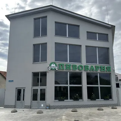 Craft beer & breweriesYanovets Brewery, TiachivTyachiv22 km from PanoramaYanovets Brewery is a small town brewery with its own shop in Tiachiv, on Zaliznychna Street near the railway station.
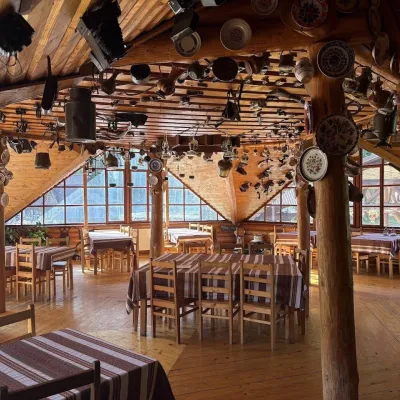 Koliby & Hutsul cuisineKolyba Museum, DiloveDilove24 km from PanoramaThe Kolyba Museum in Dilove is a timber restaurant serving Hutsul food right on the H09 highway, a few steps from the marker of the geographical centre of Europe in...
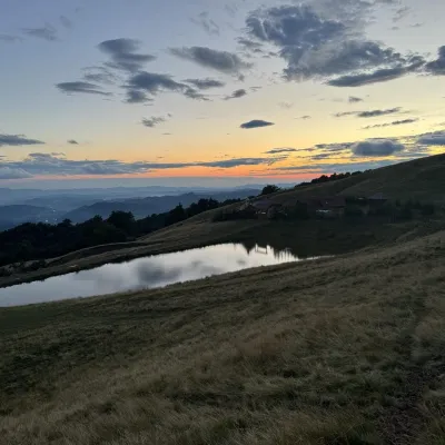 Cheese dairies & pasturesSheep's Cheese Masterclass on the Apetska Polonyna, VodytsiaVodytsia25 km from PanoramaThe Apetska polonyna is a broad high-mountain pasture on the southern slopes of the Svydovets range, below Mount Apetska (1,512 m).
 Craft producersDU-MEN craft bakery, RakhivRakhiv28 km from PanoramaDU-MEN (DU•MEN.craft bakery) is a craft bakery in Rakhiv which, in its own words, has been baking “bread with a history” for twelve years.
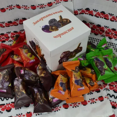 Craft producersGolden Fruit sweets, BushtynoBushtyno30 km from PanoramaGolden Fruit is a confectionery producer in Bushtyno in the Tiachiv area that has been making chocolates of dried fruit and walnuts in chocolate glaze since 2006.
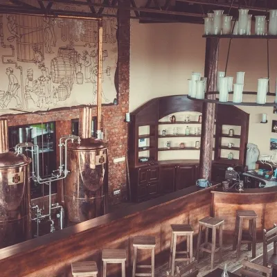 Craft beer & breweriesKibler Brewery at the PUBLO complex, VyshkovoVyshkovo35 km from PanoramaKibler Brewery is the in-house brewery of the PUBLO hotel and restaurant complex in Vyshkovo, Khust district.
Peaks nearby
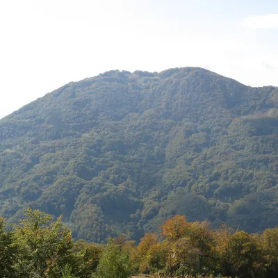 PeakMount KobylaKobyletska Polianaaltitude 1 177 m · Svydovets range20 km from PanoramaKobyla is a 1,177 m mountain in the Rakhiv district of Zakarpattia Oblast. At its foot lie the settlement of Kobyletska Poliana (to the north-west) and the village of...
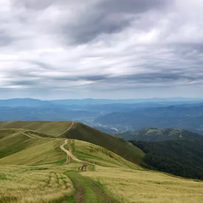 PeakMount ApetskaDubovealtitude 1 512 m28 km from Panorama2 trails to the topApetska is a peak in the Ukrainian Carpathians, on the border of the Tyachiv and Rakhiv districts of Zakarpattia region.
Trails nearby
All trails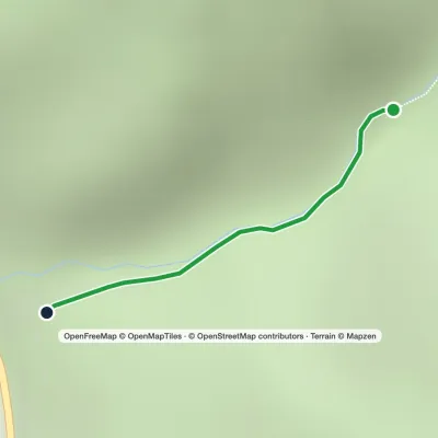 EasyOne-dayMarkedTo Sokolyne BerdoElevation profile331–674 m2.6 kmascent 344 m≈ 1.5 h walking18 km from Panorama
 HardMulti-dayDilove village to Hoverla villagevia Mount Pip Ivan Marmaroskyi, Mount Chyvchyn +3Elevation profile342–2 061 m162.3 kmascent 5 951 m23 km from Panorama
 HardMulti-dayDilove village to Kostylivka villagevia Mount Pip Ivan MarmaroskyiElevation profile346–1 521 m37.9 kmascent 1 570 m≈ 12.5 h walking23 km from Panorama
