Chata generála M. R. Štefánika – Vyšná Boca
Trail map
Route, springs and shelters: © OpenStreetMap contributors (ODbL) · elevation: Copernicus DEM © DLR e.V., © Airbus DS · Data & licences
About the trail
Route Chata generála M. R. Štefánika – Vyšná Boca. Has yellow marking (regional route №8428b, KST). Waymarking data: OpenStreetMap (© OpenStreetMap contributors, ODbL).
Officially marked regional tourist route No. 8428b. The marking is yellow, the sign is a horizontal stripe on a white background. Marked and maintained by: KST. Length of the route — 8.8 km. Location: mountain range — Low Tatras, Slovakia.
At a glance
A short route of 8.8 km with 56 m of ascent and 828 m of descent from Chata generála M. R. Štefánika to Vyšná Boca. Estimated walking time: about 2.5 h, not counting stops. Difficulty: moderate. Waymarking: yellow.
Route stages
- 0–2 kmAlong the ridge at 1,700–1,770 m
- 2–9 kmDescent of 750 m to Vyšná Boca
Steepest kilometre: km 4–5, a descent of 250 m (≈25%), near Bocianske Pass.
Water and overnight stays
Springs near the trail: at km 0, 1, 3.5 and 9.
Huts and shelters near the trail: M. R. Štefánik Hut (km 0).
When to go
Best time: June to September. In winter only for experienced hikers with proper gear: avalanche danger is possible. About 4 km of the route runs above 1,500 m, where the weather changes quickly — check the forecast.
Getting there
Start: Chata generála M. R. Štefánika. This is a one-way route: the finish is 7 km from the start in a straight line, so plan your way back in advance.
FAQ
- How long does the route take?
- Estimated walking time: about 2.5 h, not counting stops.
- Is there water on the route?
- Springs near the trail: at km 0, 1, 3.5 and 9.
- Where can I stay overnight?
- Huts and shelters near the trail: M. R. Štefánik Hut (km 0).
Water and shelter on the route
- M. R. Štefánik Hutkm 0 from the start · Standing · 1 740 m
- Drinking water below Kozie chrbtykm 0 from the start · 40 m off the path · Not verified · 1 714 m
- Spring below Besná (west slope), 1 720 mkm 1.2 from the start · 120 m off the path · Not verified · 1 720 m
- Spring below Panská hoľa (north-west slope), 1 490 mkm 3.5 from the start · Not verified · 1 490 m
- Spring below Kompíkkm 8.7 from the start · Not verified · 975 m
Comments
Trails nearby
All trails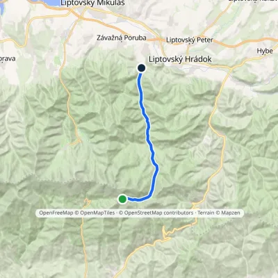 ModerateOne-dayMarkedChata gen. M. R. Štefánika Liptovský Ján, Hotel ĎumbierElevation profile665–1 729 m15.6 kmascent 7 m≈ 4 h walking
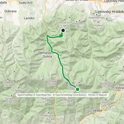 ModerateTwo-dayMarkedChata generála M. R. Štefánika Za VrátamiElevation profile802–1 919 m17.5 kmascent 623 m≈ 5.5 h walking
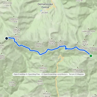 ModerateOne-dayMarkedKrížske Saddle Hut of Gen. M. R. ŠtefánikElevation profile1 455–1 778 m11.3 kmascent 371 m≈ 3.5 h walking
Craft nearby
All craft places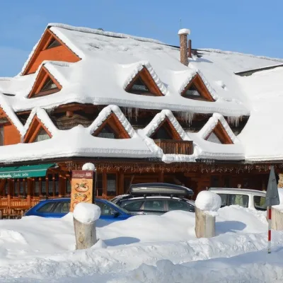 Koliby & Hutsul cuisineKoliba Strachanovka, Jánska valleyLiptovský Ján12 km from the trailKoliba Strachanovka (Jánska koliba) is a large wooden koliba at the entrance to the Jánska valley in the village of Liptovský Ján, which locals consider one of the...
 Water parks & thermal poolsTERMAL raj thermal bath, Liptovský JánLiptovský Ján13 km from the trailLiptovský Ján: thermal water at the entrance to Jánska dolina Liptovský Ján is an old village in southern Liptov, about 10 km from Liptovský Mikuláš, at the entrance...
 Craft beer & breweriesLiptovar brewery, Liptovský Mikuláš: craft beer and brewpubLiptovský Mikuláš17 km from the trailLiptovský Mikuláš is the main town of the Liptov region, a short drive from the Low and Western Tatras, the Demänovská Valley and the Liptovská Mara reservoir.
 Water parks & thermal poolsAquapark TatralandiaLiptovský Mikuláš21 km from the trailAquapark Tatralandia is a large year-round water leisure complex near Liptovský Mikuláš, on the northern shore of the Liptovská Mara reservoir.
 Koliby & Hutsul cuisineSalaš Dechtáre above Liptovská MaraGalovany21 km from the trailSalaš Dechtáre is a wooden koliba above the Liptovská Mara reservoir that is described as one of Slovakia’s first commercial salaš restaurants.
 Eco farmsFarma Východná — organic farm below the TatrasVýchodná24 km from the trailFarma Východná is the highest-lying organic farm in Liptov, at 930 m in the village of Východná right below the Tatras.
